384 results
Geography homeschool curricula for Microsoft Word and for special education
The World Where I Live...
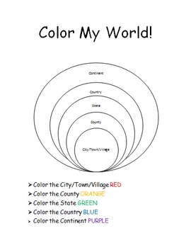
This is a jam-packed, 40 page unit full of multi-sensory and multi-grade-level activities all centering on the relationships between the following concepts: city/town/village, county, state, country, continent, and community helpers. The following mathematical concepts are also explored: range, median, mode, and average (mathematical mean).
The following activities are included in this unit: Key vocabulary exercise, coloring Venn diagram activity, "Greater Than, Less Than" activity page, "My
Subjects:
Grades:
K - 8th
Blank Ancient Egypt Map
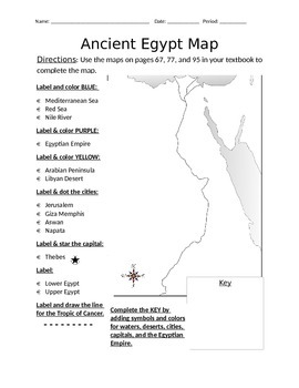
I have used this blank Ancient Egypt map as an introduction to my ancient Egypt unit with 6th grade regular and ELL students in social studies. Not only does this help with students' geography skills, but it helps practice following basic written directions.
Subjects:
Grades:
5th - 7th
Geography Bee Course
This geography bee course is a program designed to prepare students for the National Geographic geography bee. It has a scope and sequence of topics and maps to master. The difficulty levels flow from beginner to medium to advanced to expert. Each topic has a link to a video, game, or other resource that can be used to master that topic. . .This resource originated as an afterschool club in the computer lab, but it could be applied to a variety of settings.
Grades:
3rd - 8th

Reading Comprehension Strategy Book - Visuals/Mnemonics
This is a reading strategy book that I created for my special needs students to use when reading passages and answering comprehension questions. Everything is either presented visually or in chart form or presented as a mnemonic. There is a page that describes what to look for before you read (flow chart type format); two pages for what to do as you read (a really great graphic of how to write the gist of a paragraph and a text coding box); one page of what to do after you read (this is a page
Grades:
2nd - 12th
Earth's Oceans
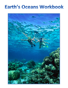
An introduction to the Earth's oceans.
-oceans vs. seas
-five major oceans of Earth
-currents
-salinity of oceans
Also includes:
-study terms and map to label
-Activity
-Quiz
-Teacher answer key for quiz and activity
Thanks for taking the time to stop by my store!
Mrs. Degs
Teaching Science Well
Blog: http://teachingsciencewell.wordpress.com/
Facebook: https://www.facebook.com/TeachingScienceWell
TPT: http://www.teacherspayteachers.com/Store/Teaching-Science-Well-Science-Resources
Pinterest
Subjects:
Grades:
2nd - 10th

French Culture and Tourism Videos: Rick Steve's France and Belgium Questions
Parents and Teachers (Especially non French-Speaking),Whether you are homeschooling, doing a long-term sub assignment or just looking to sprinkle in some culture to your curriculum, this product is exactly what you are looking for! Included I have hyperlinks to seven different videos from Rick Steve's travel series: two for Paris and one each for Normandy, Provence, French Riviera, Alsace, and Belgium. You have no need for any DVDs or subscriptions! Averaging around 25 minutes each, the videos g
Subjects:
Grades:
6th - 12th

Animals and their Babies Matching Cards
Included in this set are 18 Animal/Baby Pairs. There are many uses for these cards, including using them as 3 part montessori cards. Includes instruction page and images.
The images are public domain images from Pixabay.
Animal pairs include:
• Dog/puppy
• Cat/kitten
• Duck/duckling
• Pig/piglet
• Penguin/chick
• Elephant/calf
• Seal/pup
• Sheep/lamb
• Horse/foal
• Human/baby
• Cow/calf
• Chicken/chick
• Lion/cub
• Rabbit/bunny
• Gorilla/infant
• Tiger/cub
• Bear/cub
• Deer/fawn
Grades:
Not Grade Specific
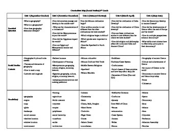
6th Grade Social Studies Curriculum Map
This unit plan provides topics, vocabulary and lesson ideas for the 6th grade Social Studies curriculum.
Subjects:
Grades:
6th
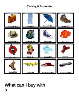
Special Education: Can I Buy This? Using Money Life Skills {Autism}
*** You may edit this Word document as needed ***
This worksheet was originally created for a student with special needs. The first sheet contains 16 items of clothing and accessories with real-world prices. The second sheet contains multiple scanned bills of $1, $5, $10, $20, $50 and $100.
In my lesson, the student chooses a bill and places it in the blank space after "What Can I Buy With" and we repeat the sentence along with the dollar amount. They look through the items and place a ma
Subjects:
Grades:
2nd - 5th

80+ Decodable Books for Intermediate Readers (2nd grade)
A comprehensive series of 86 sequential, skill-building, high-interest books for 2nd grade readers. These books include, vocabulary, spelling work, phonics work, and comprehension questions. Each book is only eight half pages long. These small kid-friendly books are designed to help your child master the art of decoding.
Grades:
2nd - 4th
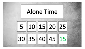
DRO board (escape function)
Token Board (5"x9") Differential Reinforcement of Other behavior (task refusal, bartering with adult, verbal protest, non-compliance, etc.) Protocol Included :)
Grades:
Not Grade Specific
Visual Schedule
Visual Schedule 15 tasks (editable) Used for longer ABA sessions where several tasks are completed Just print, laminate and add velcro! :)
Grades:
Not Grade Specific

World Religion Poster Project
This is a project I had my students do during our world religions chapter. I included most of the world's recognized religions. My students worked on this project in the computer lab and for homework. Then they presented their poster before the class. I have included links to help them and the categories they must define for all the religions.
Grades:
7th - 12th
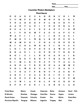
Word search Western Hemisphere Countries
This word search includes 28 countries in the Western Hemisphere.
Grades:
5th - 8th
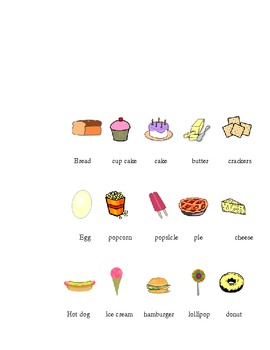
Great Picture Dictionary for your classroom
I created this picture dictionary for an ELL student in my classroom. It could also be used in writing folders or as another spelling resource.
Grades:
PreK - 6th
Amazing Race Geography Packet
***This product has been edited after completing two seasons with my own children and deciding on what is needed more***
For those who have enjoyed one of the top shows, The Amazing Race, here is a lesson I designed to go along with the show. This hits on almost everything you need to learn during a Geography lesson, yet it has a fun twist! Check it out!!
After watching each episode, fill out the packet over the course of a week and combine in a book at the end of the series. Can complete in 2
Subjects:
Grades:
2nd - 12th
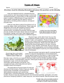
Types of Maps: Informational Text, Images, and Assessment
This resource is great for a an introductory or extension assignment, as well as a sub plan assignment, no outside sources are needed. The worksheet utilizes informative text and illustrations to provide a foundation of knowledge over the following standard: SS.6.G.1.2 - Analyze the purposes of map projections (political, physical, special purpose) and explain the applications of various types of maps. A 10 question assessment is on page 2 of the worksheet that assesses the students over the inf
Subjects:
Grades:
4th - 9th
Also included in: Geography Bundle: Informational Text, Images, and Assessment
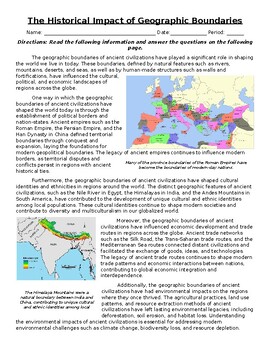
The Historical Impact of Geographic Boundaries: Text, Images, & Assessment
This resource is great for a an introductory or extension assignment, as well as a sub plan assignment, no outside sources are needed. The worksheet utilizes informative text and illustrations to provide a foundation of knowledge over the following standard: SS.6.G.1.7 - Use maps to identify characteristics and boundaries of ancient civilizations that have shaped the world today A 10 question assessment is on page 2 of the worksheet that assesses the students over the informative text section. T
Subjects:
Grades:
4th - 10th
Also included in: Geography Bundle: Informational Text, Images, and Assessment
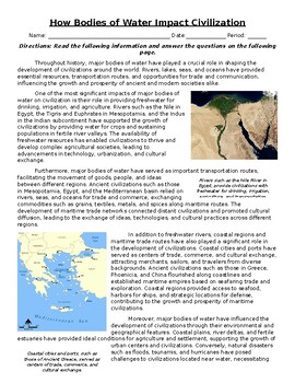
How Bodies of Water Impact Civilization: Text, Images, and Assessment
This resource is great for a an introductory or extension assignment, as well as a sub plan assignment, no outside sources are needed. The worksheet utilizes informative text and illustrations to provide a foundation of knowledge over the following standard: SS.6.G.1.6 - Use a map to identify major bodies of water of the world, and explain ways they have impacted the development of civilizations. A 10 question assessment is on page 2 of the worksheet that assesses the students over the informati
Subjects:
Grades:
4th - 9th
Also included in: Geography Bundle: Informational Text, Images, and Assessment
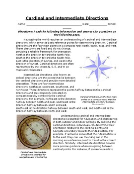
Cardinal and Intermediate Directions: Informational Text, Images, and Assessment
This resource is great for a an introductory or extension assignment, as well as a sub plan assignment, no outside sources are needed. The worksheet utilizes informative text and illustrations to provide a foundation of knowledge over the following standard: Use cardinal and intermediate directions for navigational purposes. A 10 question assessment is on page 2 of the worksheet that assesses the students over the informative text section. There is also an answer key on page 3 for teacher use.
Grades:
3rd - 8th
Also included in: Geography Bundle: Informational Text, Images, and Assessment
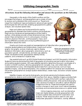
Utilizing Geographic Tools: Informational Text, Images, and Assessment
This resource is great for a an introductory or extension assignment, as well as a sub plan assignment, no outside sources are needed. The worksheet utilizes informative text and illustrations to provide a foundation of knowledge over the following standard: SS.6.G.1.4 - Utilize tools geographers use to study the world. Examples are maps, globes, graphs, charts and geo-spatial tools such as GPS (global positioning system), GIS (Geographic Information Systems), satellite imagery, aerial photograp
Subjects:
Grades:
4th - 9th
Also included in: Geography Bundle: Informational Text, Images, and Assessment
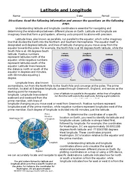
Latitude and Longitude: Informational Text, Images, and Assessment
This resource is great for a an introductory or extension assignment, as well as a sub plan assignment, no outside sources are needed. The worksheet utilizes informative text and illustrations to provide a foundation of knowledge over the following standard: SS.6.G.1.1 - Use latitude and longitude coordinates to understand the relationship between people and places on the Earth. A 10 question assessment is on page 2 of the worksheet that assesses the students over the informative text section. T
Subjects:
Grades:
4th - 9th
Also included in: Geography Bundle: Informational Text, Images, and Assessment
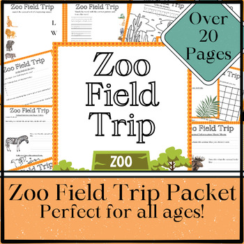
Printable Zoo Field Trip Resource, Scavenger Hunt, Homeschool Field Trip
Get this awesome Zoo Field Trip Packet now for your class or homeschool! It's the perfect homeschool resource to help your students get as much information as they can about the zoo animals that they go to visit! This field trip planner is great for your little ones all the way through high school! This packet has over 20 pages of printable worksheets to take along with you to the zoo. It includes:-Zoo Scavenger Hunt-Field Trip Planner-Several Animal Information Worksheets-Animal Observation Dra
Subjects:
Grades:
Not Grade Specific
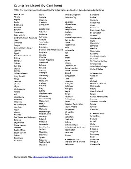
Countries of the World by Continent
List of countries in the world alphabetically by continent with total count of countries contained on each continent.
Grades:
4th - 12th
Showing 1-24 of 384 results

