37 results
Geography laboratories for homeschool under $5
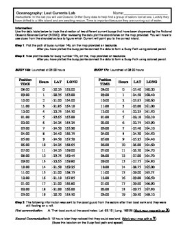
Ocean Currents - Rescue Lab Activity
Ocean Currents - Rescue Lab Activity
This is a fun little Latitude/Longitude Ocean Current activity.
Students plot the path of 2 current buoys to determine the location of a lost ship crew in the Indian Ocean.
This is a crossover science activity - Oceanography - Geography - Graphing.
Usually takes between 30 - 40 minutes.
-----------------------------------------------------------------------------
Other GES Ocean Activity
Ocean Current Introduction
Subjects:
Grades:
6th - 9th
Types:
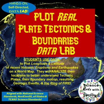
Plate Tectonics & Boundaries PLOT real Earthquakes & Volcanoes DATA LAB
This DATA LAB connects Plate Tectonics and Boundary motion to the ACTUAL Geologic Events they cause-- especially around the Ring of Fire, or Pacific Plate! Students can LABEL the Major PLATES on a World MAP (or Differentiate for ESL/Special Needs students by giving them the MAP with the Plates already labeled- several Included for YOU!) Then, PLOT 18 Latitude & Longitude Points of recent Earthquakes in one color and 18 significant Volcanic Eruptions in another color. They can then-- Color Co
Subjects:
Grades:
5th - 8th
NGSS:
MS-ESS2-2
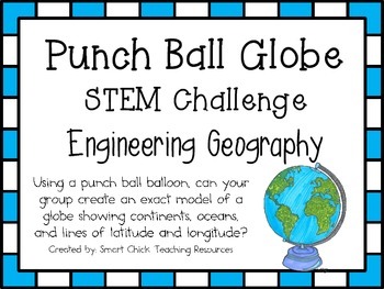
Punch Ball Balloon Globe ~ Engineering Geography ~ STEM Challenge
Using a punch ball balloon, can your group create an exact model of a globe showing continents, oceans, and lines of latitude and longitude?
We are all about integration in my STEM building and blending social studies with STEM challenges is a great way to make the topics we study in social studies more engaging and interesting for the students. I am currently working on developing more of these social studies based STEM challenges. This one is focused on map skills and geography.
This engi
Subjects:
Grades:
4th - 6th
Types:
Also included in: American History PERSONALIZED STEM Bundle
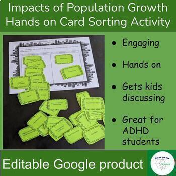
Impacts of Population Growth - Hands on Card Sorting Activity - for High School
Engaging hands on activity to have kids think critically and discuss the impact of human population growth. In part one students will sort a set of cards to determine if the situation described on the card will increase or decrease with the increase of human population. Some of the cards do not have a clear answer. This is intentional to get student’s discussing and backing up their statements with evidence. For example students will decide if the situation card “Number of Plants” would incr
Subjects:
Grades:
8th - 12th
Types:
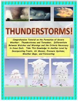
NWS and NOAA Approved! Forecasting: Severe Weather. You're the Weatherman
PROCEEDS BENEFIT "REACH INC."-EMPOWERING ADULTS WITH DISABILITIEShttp://www.reachinc.org-Southern Science Specialists - Chapel Hill, North Carolina-Severe Weather Forecasting: Learn How to Forecast Severe Weather With Real Maps, Data, and NWS Symbols.LOADED WITH COLORFUL IMAGES!Pairs great with the Air Masses and Thunderstorm PowerPoint found on TPT at the link below:CLICK HERE FOR POWERPOINTMore advanced severe weather lab manual and Skew-T tutorial found at the link below:CLICK HERE FOR LAB M
Subjects:
Grades:
4th - 9th, Higher Education, Adult Education
Types:
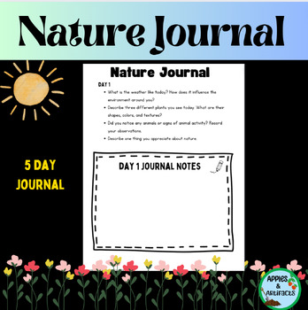
Nature Journal 5 Day Writing Activity
This resource is a five-day nature journal writing activity. This activity gets kids outside observing all of nature's wonders. It is also included in my Earth Day resource. Earth Day ResourceLook for these other related resources in my store:Science and Social Studies Word Wall BundleScience Word Wall and ActivitiesTropical Rainforest Reading Passage and Task Cards BundleTropical Rainforest Task CardsGlobes, Maps, Landforms and Continents BundleGlobes, Maps, Landforms, and Continents Activity C
Subjects:
Grades:
3rd - 8th
Types:
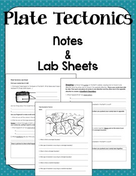
Plate Boundaries Notes and Lab Sheet
This document accompanies my Plate Boundaries powerpoint. It's a basic introduction to the three types of plate boundaries (convergent, divergent, and transform). The packet begins with a map page that accompanies the map in the powerpoint for a Check for Understanding. Then there is a Milky Way Tectonics Lab Sheet and Exit Ticket. This works very well as a packet or can be broken up into separate parts based on preferred teaching style.
Subjects:
Grades:
5th - 9th
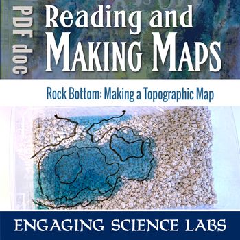
Topographic Maps: Use a Model Landscape to Draw Contour Intervals on Your Map
Quickly shape your own landscape and map its contour intervals. Make your own, accurate topographic maps of mountains, valleys, peninsulas, etc. Easy to reshape and redo and see how different maps correlate to different landscapes. Quicker than most topographical exercises and I love that kids can construct their own without help. Use this to learn and reinforce answers to questions such as:❑ How can we map terrain in three dimensions?❑ What do contour lines on maps show us?❑ What do the differe
Subjects:
Grades:
6th - 8th
Types:
Overfishing AKA "Tragedy of the Commons" - Science in the Environment Lab Series
Why do we have hunting and fishing catch regulations? Why does the government regulate logging and farming industries? The concept of overutilization or “the tragedy of the commons” is fundamental to our modern society. The purpose of this activity is to model resource management, and how regulations and private ownership make resource management possible.
If you like the activity, be sure to rate it!
This is part of a series of activites on Science in the Environment from Mr. Ripps.
This wor
Subjects:
Grades:
7th - 12th, Higher Education, Adult Education
Types:
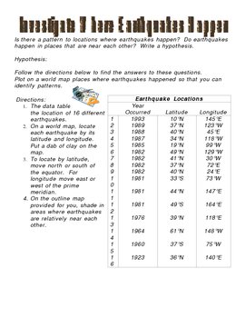
Investigate Where Earthquakes Happen Lab Activity
This is an activity that answers the questions: Is there a pattern to locations where earthquakes happen? Do earthquakes happen in places that are near each other? This activity involves writing a hypothesis and charting on a map various earthquake locations to come up with a conclusion to where earthquakes happen. This activity includes map and answer key.
***This item is also included in the Science CD that I sell separately which includes all of my Science digital products (power points
Subjects:
Grades:
3rd - 9th
Types:
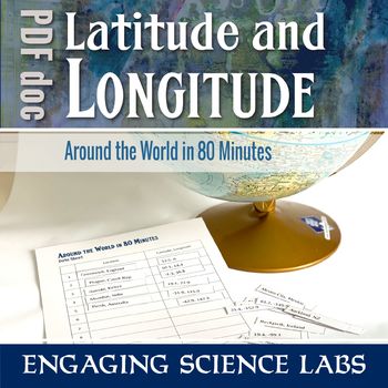
Latitude and Longitude Activity: Map Skills; Finding Locations on a Globe or Map
Using a globe or world map, work your way around the globe finding locations based on longitude and latitude. Match each numbered location with its name and find your way back to your starting port. The activity begins in Greenwich and there's a brief discussion about the history of the Prime Meridian. Optional lab notes are written with middle-schoolers in mind. Use this to learn and reinforce answers to questions such as:❑ How can we locate a place using longitude and latitude?❑ What does a n
Subjects:
Grades:
6th - 8th
Types:
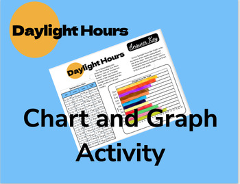
Daylight Hours Chart and Graph Activity
Students chart the daylight hours for one day of each month using information from a webpage. They then use this data to fill in a bar graph. The patterns are very observable and lead to great classroom discussion!An answer key is included, but answers will vary depending on your location.
Subjects:
Grades:
5th - 9th
Types:
NGSS:
MS-ESS2-6
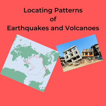
Locating Patterns of Earthquakes and Volcanoes
The students carefully plot, with colored pencils, the location of selected Earthquakes and Volcanoes on a world map showing Divergent and Convergent Plate Boundaries. Page 5 of the NYS Earth Science Reference Tables is needed for this lab. These can be downloaded at: https://www.nysed.gov/state-assessment/reference-tables-earth-science The students further shade in the Plate Boundaries using different colored pencils. Several questions about the plotted map reinforce the idea that Earthqua
Subjects:
Grades:
6th - 12th, Higher Education, Adult Education
Types:
Also included in: Worksheets: Plate Tectonics Bundle
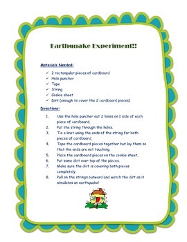
Earthquake Experiment
Make an earthquake using 2 pieces of cardboard, tape, string, & dirt!
Subjects:
Grades:
K - 6th
Types:
DISTANCE LEARNING Carbon Treasures: Radiometric Carbon Dating Activity
In this interactive distance learning activity, students will use their knowledge of radiometric dating techniques to create a Carbon-14 decay graph. This graph will be used, along with accelerator mass spectrometer data provided in the Carbon Treasures slideshow, to determine the absolute age of 10 Pleistocene-era objects. This activity would be great as an introduction to archeology or while discussing absolute vs. relative dating techniques in geoscience. The slideshow is full of interesting
Subjects:
Grades:
9th - 12th
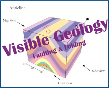
Visible Geology Activity (Faulting & Folding)
In this activity, students will evaluate and then draw geologic structures in order to better understand the structures made in faulting and folding. Students will use the Visible Geology website app to view and manipulate structures before drawing and labeling them themselves. This activity includes a virtual version, a version intended for paper, and an answer key. In the virtual version, students will utilize the Google Docs "Edit" feature to draw the folds and faults.Structures covered: anti
Subjects:
Grades:
7th - 12th
Types:
Worksheet: World/NYS Latitude and Longitude Lab
Students determine the Latitude and Longitude of world and NYS locations on an a map of NYS, and further determine the distance between several cities in NYS.Please note: You will need Page 3 and 5 of the NYS Earth Science Reference Tables as the students will draw gridlines on them.If you don't have the Reference tables they can be downloaded free at:https://www.nysed.gov/sites/default/files/programs/state-assessment/earth-science-reference-tables-english-2011.pdfCustomer Tips: How to get TPT c
Subjects:
Grades:
7th - 11th, Higher Education, Adult Education
Types:
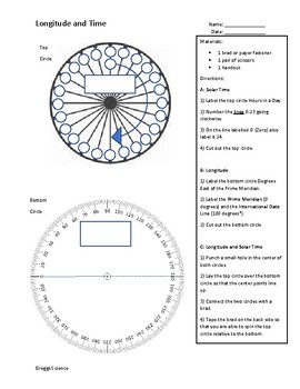
Modelling Longitude and Time with Key
Students will analyze an Earth-Sun system model to examine how changes in longitude affect solar time and local calendar time.This Earth and Space Science activity is intended to bridge the gap between exclusively physical models of the sun-earth system in middle grades and exclusively mathematical models of the sun-earth system in high school grades. It may also provide a bridge between NGSS standards ESS1.B and ESS2.A. Appropriate for 8th grade to early high school. Includes suggestions for
Subjects:
Grades:
9th - 12th
NGSS:
HS-ESS1-4
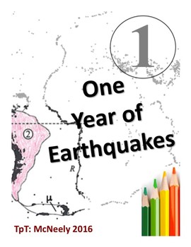
One Year of Earthquakes
One Year of Earthquakes is a lesson designed to teach the main concepts of plate tectonics. The activity was originally created by plotting the locations of one year's worth of earthquakes onto a blank map (about 20,000 earthquakes above magnitude 3). This Rorschach-like image was then used by the students to identify earth's plates and continents. The students created their own world maps by matching the patterns of earthquakes to other maps supplied by the teacher. The students sketched and co
Subjects:
Grades:
11th - 12th
Types:
Environmental Stewardship Fieldwork Project, (Independent Study Unit Guidelines)
This package is a detailed set of guidelines that steers senior science, environmental science and geography students through the process of writing a formal environmental stewardship report (or a environmental consultants report). It is best used as a end of year or term project, and treated as a 2 - 3 week independent Unit (roughly 10-15 hours of class time).The process takes students on an environmental journey mimicking that of work professionals.1. Identifying an Environmental Problem2. C
Subjects:
Grades:
9th - 12th, Higher Education, Adult Education
Types:
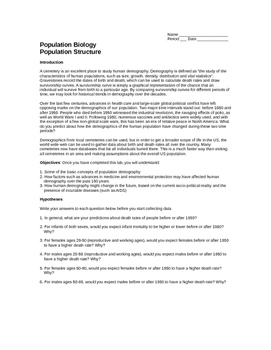
Human Population: Cemetery Population Structures
The American population is changing in dramatic ways. Likewise, changing population structures in other countries are driving changes around the world. Food supplies, energy use, climate change: all are consequences of the changing structures of world populations.
This activity belongs to a 3-part collection for a week-long population structure investigation using free Internet resources. Be sure to download my PopulationStructure PowerPoint and PopStructureData Excel spreadsheet. The lab se
Subjects:
Grades:
8th - 12th, Higher Education
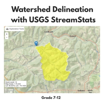
Watershed Delineation with USGS StreamStats
In this activity, students will learn an automated technique for watershed delineation using the StreamStats web tool from USGS. They will delineate the Fulton Run watershed in Indiana, Pennsylvania and answer 10 post-lab questions about the characteristics of the basin from the StreamStats report. This product does require that students have access to a laptop and internet connection.If you like this activity, you should know that it is also a part of the larger lab in my store in which student
Subjects:
Grades:
7th - 12th, Higher Education, Adult Education
Types:
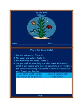
Ocean Lab Book and Study Guide
Ocean Lab Book and Study Guide
Labs include the following:
Why is the Ocean Salty?
Ocean Temperatures
Layers of the Ocean Floor
Salty Water Evaporation
Sink or Float
Pollution and Food Chains
Subjects:
Grades:
2nd - 5th
Types:
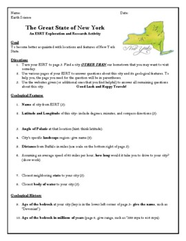
The Great State of New York ESRT Travel Research Activity
These files were made for a New York State Regents Earth Science class and are specific to our Earth Science Reference Tables (ESRT). I used it at the end of the year to review many of the ESRT pages and procedures through the lens of travel and tourism. Who doesn't love a vacation? However, you COULD adapt the project for another state's Earth Science or State Geography class. I leave all of my files in an editable form.The research will take them 2-3 class periods. The activity could stop here
Subjects:
Grades:
8th - 11th
Types:
Showing 1-24 of 37 results


