59 results
12th grade geography teacher manuals for GATE
Bloom's Taxonomy Stems & Guiding Questions for Social Studies and Geography
As teachers, we always need additional resources to help make planning easier. Through the years, I have compiled this list of Bloom's Taxonomy action verbs, stems, and sample questions to assist in planning for Geography and Social Studies lessons. There are a series of questions and stems for knowledge, comprehension, application, analysis, synthesis, and evaluation. It is always nice to have this handy to refer to while planning. Using Bloom's Taxonomy allows you to ascertain if your students
Grades:
5th - 12th, Adult Education
Types:
Also included in: Bundle for T. Wilson (25 Geography Lessons)
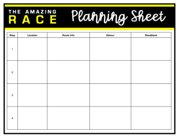
Amazing Race Printable Templates
This file is a PowerPoint file with Amazing Race templates to create challenges, detours and roadblocks in any content area. These templates can be used digitally or as printables. Just click inside the editable text boxes to add your content.Template includes: planning pageschallenge folderroute information carddetour cardroadblock cardplayer name tagsPowerPoint slides template
Subjects:
Grades:
K - 12th, Staff
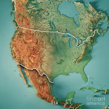
Topographical Salt Dough Map of the United States
It's ready for Distance Learning! This is a turn-key project. Assign it to your students and let the parents work with them. They can present it with pictures or video. The format is Google Slides, so you can alter it any way you see fit. There is a list of features that students must label. From mountains to bodies of water, basins to rivers, the goal is to get them familiar with the landscape of the United States. I am using this as a GATE enrichment project. But, it can be used with a
Grades:
4th - 12th
Types:
World Geography-Teacher Manual, Lesson Plans, Activities, Assessments, PPT'S
World Geography In this course, your students will grasp the connection between environments and events, between geographic regions and cultures, and develop a global perspective. They will develop the critical thinking and geographical skills needed to make them lifelong learners with World Geography.The course incorporates the content and skills outlined in the National Geography Standards. Designed for the new teacher or instructor in an out-of-field assignment, these course materials include
Subjects:
Grades:
7th - 12th
CSET Social Science Subtest 1 (World History)
All the help you need to pass your CSET for World History.
Subjects:
Grades:
9th - 12th, Higher Education
Types:
Comprehensive Guide to Teaching AP Human Geography
UPDATED 7/2022: ZIP FOLDER WITH HUNDREDS OF PAGES OF RESOURCES!Included:- Instructions on how to set up the course, including a calendar- Lecture outlines for every unit, and individual chapter overviews with vocabulary, AP objectives, and maps- Bellwork, Discussion questions, and summary for every lecture- Projects for selected units, with rubrics- Vocabulary separated by topic for the entire course- Resources including: videos, bibliography of articles, websites- Activities for learning materi
Grades:
9th - 12th
Also included in: AP Human Geography Full Year Bundle - Lectures, Assessments, Strategies
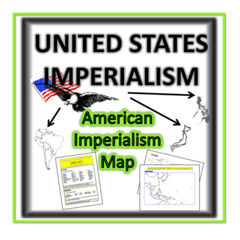
United States Imperialism- Map Lesson
United States Imperialism Unit must begin with a visual! Before students can critically think about concepts, they must be able to geographically locate the territories that America pursued during post 1860. Using textbook, class atlas, or mini research sources, students will label and color American possessions. Includes:**American Imperialism Map- Student Worksheet which includes two maps, the World and the Pacific Island Regions.**American Imperialism Map- Teacher Guide which provides direc
Grades:
8th - 12th
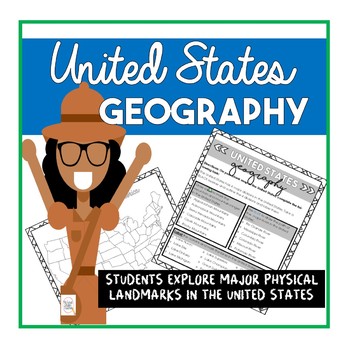
Geography: Physical Landmarks in the United States
Have students mark up their maps and learn about physical landmarks in the United States!
This can be an extension activity to the geography packet and
gifted geography packet
Whats in this worksheet
- checklist for students to keep track of their work .
- make this worksheet into doodle notes and have students customize their worksheet
Students will
-identify major physical landmarks in the United States
CHECK OUT my other RESOURCES
►Systems of Government Doodle Notes
►EOC Review Pack
Grades:
5th - 12th
Types:
Also included in: Civics U.S. Geography and Map Skills Bundle
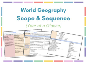
World Geography Scope & Sequence (Year at a Glance)
Product includes a year-long World Geography course scope & sequence with an outline divided into 10 units. Template is applicable to any course, however, it's currently outline is for 9th grade World Geography in the state of Utah.* Each individual unit outline includes the following: - essential guiding questions- state standards*- student learning intentions- social studies literacy standards- historical thinking skills- a chronological list of assignments/activities- main vocabulary term
Grades:
9th - 12th
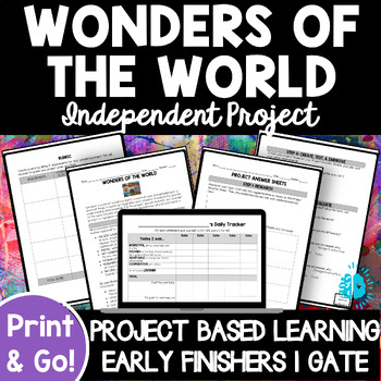
WONDERS OF THE WORLD INDEPENDENT RESEARCH PROJECT Based Learning PBL Genius Hour
This easy-to-follow, NO PREP, FULLY-EDITABLE resource gives you everything you need to have your students do a WONDERS OF THE WORLD INDEPENDENT RESEARCH PBL PROJECT! Simply print out or post the Student Directions, Student Answer Sheets, and Student Tracker and GO! Students will follow the Design Process/Creative Problem-Solving Cycle to Research, Brainstorm, Plan, Create, Share, and Evaluate to learn about any "wonder" of the world (ancient, animal, art, modern, monumental, natural) and create
Grades:
4th - 12th
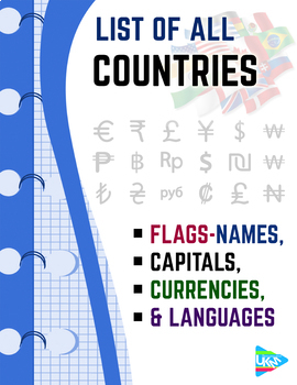
List of Countries - Flags, Capitals, Currencies, & Languages
List of all countries and their capital with language - currency- national flaggrouped according to continents Download file : .PDF (dimensions: 8.5x11.0 inches -US Letter paper )
Subjects:
Grades:
PreK - 12th, Higher Education, Adult Education, Staff
Types:

Asset Mapping Lesson Plan
Asset mapping is a powerful way to get students thinking about how they view and occupy the world around them. Asset mapping calls on students to think about their community through their perspective, and then debrief with others to compare! This activity can challenge students to think differently about their community - serving as a nice segway into historical empathy, classroom community, SEL, and more.
Grades:
6th - 12th
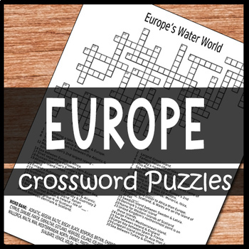
Europe Crossword Puzzles
Europe Crossword Puzzles is a set of crossword puzzles that focuses on the themes of: European geography, European people, & European history. The crossword puzzles act as a great overview of Europe because they have the students looking at the continent in a variety of ways. They are great to use: · an opening lesson when starting to cover Europe· as auxiliary studies of Europe when you lack the textbook or time to cover Europe· great emergency lesson plans· for extra credit· as a great way
Subjects:
Grades:
4th - 12th
Types:
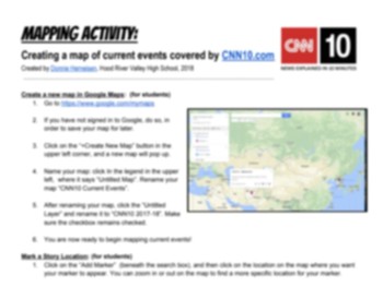
Mapping CNN10 News Stories with Google Maps
Many people use worksheets to track CNN10.com and current events, but I wanted my students to track where in the world those events are occurring. This resource leads you through the easy step-by-step process of creating a Google Map that visually tracks stories, and can be shared between teacher and student (through Google Classroom). This works best in a 1:1 classroom, but could also be done on a bi-weekly schedule in computer labs, or at home on a computer.
Grades:
5th - 12th
Types:
Historical Thinking
Teacher resources include lesson plans with links to interactive presentations with skill related content and teacher answer keys to student worksheets.
The student resources are designed using a best practice model that includes scaffolding, vocabulary, prior knowledge, guided practice, independent practice, and written response opportunities for students to solve, analyze, and evaluate concepts
This unit includes teacher and student resources on:
-Geography Map Skills
-Geography Impacts
-G
Grades:
9th - 12th
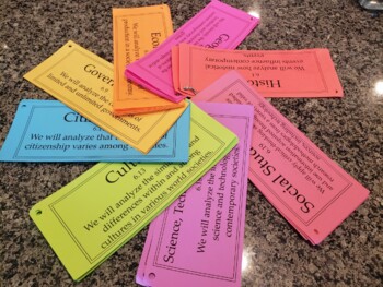
Editable: Social Studies TEKS Objectives 6th Grade
Editable Social Studies TEKS for 6th Grade. However, since they are editable, you can make them for any grade level or subject! :)
Grades:
PreK - 12th

The Next Super Continent
The world may have a new supercontinent in the future. This lesson provides students 3 insightful videos to watch (web links provided), followed by two enlightening articles (one by university researchers who used a supercomputer model exploring the Earth's evolution via movement of tectonic plates. Thereafter students are provided 4 questions to answer, these questions being simple fill in the blank statements from the easier of the two accompanying articles. Use of the control F key can easily
Grades:
5th - 12th, Higher Education, Adult Education, Staff
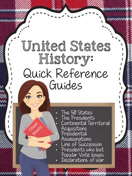
United States History: Quick Reference Sheets
Download Includes:United States Presidential Administrations: Number, President, Political Party, Vice President, years in officePresidential Line of Succession: 1-18The 50 States: State name (in alphabetical order), abbreviation, Capital city, year of statehoodUnited States' Formal Declarations of War: War name, Date of declaration, Enemy nation that war was declared upon, American president in officeUnited States Presidents who DID NOT WIN the Popular Vote: President's name, Election Year, Opp
Subjects:
Grades:
1st - 12th
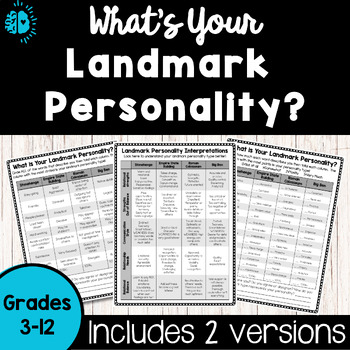
Personality Type Quiz-Landmark | Get to Know You Inventory Test | Back to School
Boost student relationships with this no-prep, easy-to-use Landmark Personality Inventory! This personality survey, based on the long-standing four temperaments, turns this abstract concept into a lesson that is high-interest, easy to understand, and memorable! TWO LEVELS of the personality test are included, making it applicable for 3rd-12th grade students...and beyond! This personality quiz theme can be used in any school subject as a Get to Know You Activity at Back to School Time, or any oth
Grades:
3rd - 12th, Adult Education, Staff
Types:
Also included in: PERSONALITY TYPES MEGA BUNDLE | 45 Themed Personality Inventories
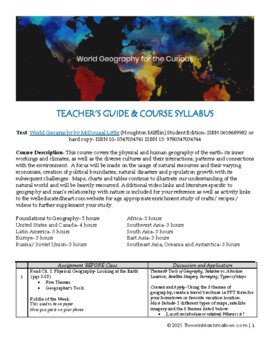
World Geography for the Curious: Teacher's Guide & Full Course Syllabus
This resource includes a digital download of the course syllabus & teacher's guide (PPTs can be purchased separately or in the BUNDLE) aimed at enriching your learner’s understanding of World Geography from the text: World Geography by McDougal Little (Houghton Mifflin) Student Edition- ISBN 0618689982 or hard copy- ISBN 10- 0547034741 ISBN 13: 9780547034744, the text is advertised as a HS reading level, but can be easily adapted for use. Designed for educators- private and public, I provide
Subjects:
Grades:
7th - 12th
NO PREP Gifted Geography and Map Skills Packet
Looking for end of the year work?Need a NO PREP geography lesson?Need a QUICK introduction to map skills?This is the gifted version of my original geography packet . This includes a differentiated and enhanced project that gets your Gifted and Talented students thinking! Everything you need is Included in this packet!-2 coloring activities-Mapactivity-2 differentiated projects (home and class project)-Optional Tabs-Vocabulary-Students can color their packetStudents will -Identify where the Unit
Grades:
5th - 12th
Types:
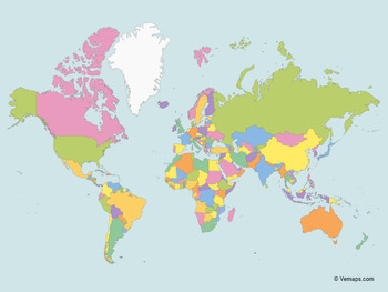
Map of the World with multicolor Countries (Mercator projection)
Study all countries of the world with your kids. This product includes fully editable Map of the World with multicolor Countries. Comes in AI, EPS, PDF, SVG, JPG and PNG file formats.Vector maps are great because they're easily editable. You can add labels, colors, etc. Very useful as you can prepare different study materials. You can easily edit it in Adobe Illustrator or any other program which works with vector graphics. If you don't use Adobe Illustrator, you can use JPG or PNG file formats.
Subjects:
Grades:
PreK - 12th
Types:

NEW!!! Engaging class notes on Contemporary Aboriginal artist Vernon Ah Kee
Australian Aboriginal artist Vernon Ah KeeExtensive classroom white board interactive PDF.Links to web sites and U-tube related clips.Topic: An in depth look at Contemporary Australian Aboriginal Artist Vernon Ah Kee and his relationship to Australian society and current issues around racism and muti-cultural acceptance. Features key lead essay questions at the end for students to answer ( year 11 & 12 level).Some metalanguage used suits the Australian NSW syllabus but can be easily adapted
Subjects:
Grades:
10th - 12th, Higher Education, Adult Education, Staff
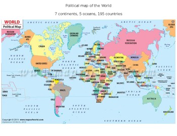
Global/U.S. - Maps Databank - World/Earth
26 pages of maps related to the entire World/Earth. This databank of maps can be used for a variety of purposes depending on your lesson. Some examples of the types of maps included (but not limited to) are:- Political maps- Physical maps- Blank political maps- Vegetation Zone maps- Climate maps- Precipitation Rate maps- Satellite maps- Economic maps- Wealth / GDP maps- Resource / Land Use maps- Religion / language / ethnicity maps- Population density maps- Flag maps- Historical maps related to
Grades:
1st - 12th, Higher Education, Adult Education, Staff
Types:
Showing 1-24 of 59 results


