983 results
Free 7th grade geography printables
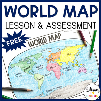
World Map Activity and Assessment | Free | Printable & Digital
World Map Lesson and Assessment! This printable and digital World Map Lesson and Assessment focuses on continents, oceans, and the Equator. A color reference map and assessment answer key are also included! **This resource is part of the World History Map Activities Bundle. TEN map lessons and assessments are included at a 20% discount price! Click here to see all the resources in the bundle and take advantage of the HUGE savings.WHAT TEACHERS ARE SAYING ABOUT THIS PRODUCT:♥ This is EXACTLY wh
Grades:
4th - 7th
Types:
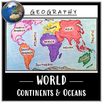
World Map Activity- Label & Color the Continents and Oceans! (Google Compatible)
Use this Continents & Oceans Map Coloring activity to jump-start your lesson! Each student will make their own, personalized world map that focuses on labeling and coloring the continents and oceans, all while enhancing their knowledge of the earth. After the map activity, your students can test their skills with a blank map assessment! A completed, colored map is included to use as reference. This resource is Google compatible, but the blank map is intended to be printed for coloring and
Grades:
5th - 12th
Types:
CCSS:
Also included in: Ancient Civilizations / World Maps BUNDLE- Color & Label Activities!
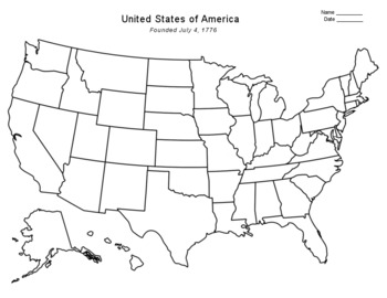
Free - Blank US Map
FREE - Blank US Map. A free, blank US map outline and a northeast-southeast region map. -------------------------------------------------------------------------------------------------------------And for one-stop shopping...SOCIAL STUDIESBundle - US History & US GeographyCalifornia & USA BundleFlorida & USA BundleNew York & USA BundleUS Presidents w/ 12 Graphic OrganizersState Report with Project and Speech - assignment sheetTexas & USA BundleUS States (50 internet
Grades:
PreK - 12th
Types:
Also included in: Top Sellers on TpT
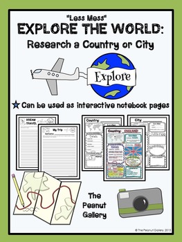
FREE "Less Mess" Explore the World: Research a Country or City
These pages can be used as interactive notebook pages or simply as stand-alone, ready to use student activity pages to make research of a country or city a bit more fun!
My “Less Mess” Interactive Notebook Activities allow for two simple steps: cut around the border and glue it in. That’s it! They are perfect for teachers who may have their students for just one short period per day. However, if you are a big fan of the “folds and flaps” that usually come with interactive notebooks, this resour
Subjects:
Grades:
4th - 7th
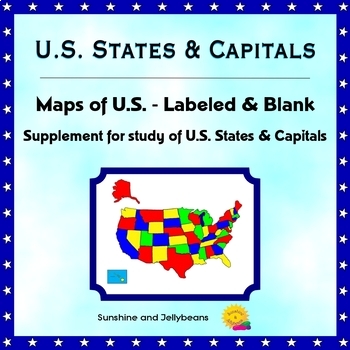
U.S. States & Capitals - Labeled & Blank Maps for Study and Practice - Geography
This set of maps is a perfect supplement to any study of the U.S. states and capitals.The set includes:Color map of the U.S. with states labeledBlack-and-white map with all states and capitals labeledBlack-and-white map with no labels, for student practice.The black-and-white maps can be easily photocopied for classroom use.This set is designed to work with the worksheets, flash cards and activities in my U.S. States & Capitals Bundle: U.S. States & Capitals BundleProducts included in t
Grades:
4th - 7th
NO PREP! Map Skills Scavenger Hunt: Continents, Types of Maps, Finding Location
This activity is sure to get your year started off right! This Scavenger Hunt will help you introduce a variety of map concepts!
Focus Skills and Concepts:
*The location of the Continents and Oceans
*Using a Compass Rose
*Finding Relative Location
*The Equator and Prime Meridian
*Hemispheres
*Reading a Political Map
*Reading a Physical Map
Included in this packet:
*Pretest
*Links to Online Maps
*Black and White Printable Maps of the World-Continents and Oceans
*Labeled Political World Map
*
Grades:
4th - 9th
Types:
Yellowstone National Park Virtual Field Trip (Distance Learning)
Take a Virtual Road Trip to learn about Yellowstone National Park! This resource includes both a Google Slides edition for digital learning, as well as a printable version. Students use Google Earth and multiple print and digital sources to quickly draw information to answer questions pertaining to Yellowstone National Park. This resource is aligned to the Common Core Standards.Students begin by reading a short passage about Yellowstone to build background knowledge before using the amazing feat
Subjects:
Grades:
5th - 8th
Types:
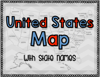
United States Map with State Names
You're search for the PERFECT United States map is over!
This black and white version has student learning in mind and contains the FULL STATE NAMES! This map is also part of my larger bundle on the Electoral College.
Click here to view it!
If you have any questions regarding any part of this product, please do not hesitate to contact me.
Thank you!
Subjects:
Grades:
1st - 12th, Higher Education, Staff
Types:
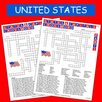
States & Capitals Crossword Part 1 of 2 FREE
This is part 1 of my States & Capitals Crossword worksheet set. Part 2 is also available on TPT. I use these as review and homework assignments. Answer key included. Two versions, one version has a word bank the other version does not.See also:States & Capitals Crossword Part 2 of 2
Subjects:
Grades:
4th - 8th
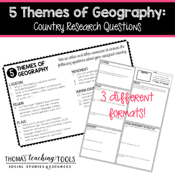
5 Themes of Geography: Country Research Questions
Students (individuals or groups) can research any country and answer the questions related to the five themes of geography. The assignment comes in 3 different formats so you can choose the one that best fits your classroom environment. It can be used as a stand-alone assignment or as the basis for a country project. Students will need access to the internet and/or library resources to complete this assignment. These resources are not editable, so please contact me via email for customization
Grades:
5th - 10th
Types:
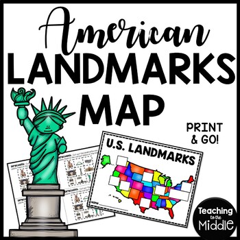
American Landmarks Map Cut and Paste Activity United States
America has so many amazing landmarks! This map is made to be used in conjunction with my American Landmarks Reading Comprehension Bundle, but could be used on its own. You will find both black and white and color copies of the landmarks and maps in this file. There are other files that have these separated out in the ZIP file. The “landmarks” pages should be cut to accommodate 4 students. The maps/locations aren’t to perfect scale, but help students get an idea where these places are located w
Subjects:
Grades:
2nd - 8th
Types:
Also included in: MEGA Reading Comprehension Bundle Custom Bundle for Buyer
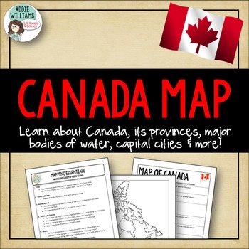
Canada Map Assignment - FREE!
Canada Map - An assignment that asks students to complete a map of Canada that includes all of the provinces / territories, capital cities and major bodies of water. Also includes a "Mapping Essentials" worksheet I give out to all of my students at the start of our mapping unit.
I've included two versions of the assignment sheet - one with US spelling and one with Canadian spelling.
(C) Addie Williams, Addie Education
Subjects:
Grades:
5th - 9th
Types:
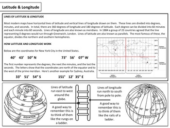
Latitude & Longitude - Map Activity
Please enjoy these free materials to help teach your students about the basics of latitude and longitude. Included in the file are a set of basic worksheets as well as a short PowerPoint presentation to help guide teachers and students through the materials.If you enjoy them, please consider purchasing my larger mini unit available at the link below:Latitude & Longitude : Mini Unit____________________________________________________________________________________Please follow me on the site
Subjects:
Grades:
6th - 12th
Types:
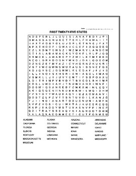
Fifty States Word Search
United States word search. Fifty states broken down in two puzzles.
Subjects:
Grades:
4th - 12th, Higher Education
Map and Globe Word Wall Vocabulary Cards - geography FREEBIE!
There are 50 map and globe word wall vocabulary cards included in this freebie pack. Words included:atlas, cartographer, compass rose, north, south, east, west, northeast, northwest, southeast, southwest, cardinal, intermediate, globe, northern hemisphere, southern hemisphere, eastern hemispere, western hemisphere, longitude, latitude, grid, coordinates, equator, prime meridian, axis, 0 degrees, scale, key, legend, symbols, North Pole, and South Pole and more. I also included 12 types of maps,
Grades:
2nd - 12th
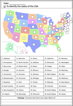
Identifying states of the USA map worksheets
This simple set of activities is a great way for students to sharpen their map skills and learn the location of the states of the USA. The worksheets can be used as an introduction to the geography of the US for younger students or to revise core geographical knowledge with older students. The states are even numbered in the order in which they joined the Union! There are three activities:Activity 1:Students write numbers on a map to identify each US state.Activity 2:Students use an atlas or map
Subjects:
Grades:
K - 9th
Types:

Maps and Globes Interactive Notebook Unit Geography FREEBIE Grades 6, 7, 8
Maps & Globes Interactive Notebook Freebie
This is a four piece maps and globes interactive notebook with assessments for middle school. This geography freebie includes:
- Types of Maps
- Parts of a Map
- Maps vs. Globes
- Hemispheres
If you like this resource, check out the What is Social Studies? Geography, Economics, & Citizenship Interactive Notebook Unit .
If you need more world history units, please follow my store for product updates!
Early People & Mesopotamia Interac
Grades:
5th - 7th
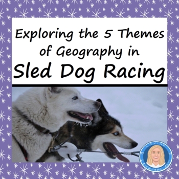
Reading in Social Studies: Explore 5 Themes of Geography in Sled Dog Racing FREE
HIGH-INTEREST NO PREP PRINTABLES AND EASY DISTANCE LEARNING! Bring literacy in social studies into ELA by having students examine 5 themes of geography which are revealed in a fascinating Informational Text Passage full of historical information "Sled Dog Racing." Engaging activity that gets students motivated to use critical thinking skills & locate central ideas!Subject matter motivates reluctant readers! Kids love reading about dogs.NOW IN INTERACTIVE GOOGLE SLIDES FOR EASY DISTANCE LEARN
Grades:
4th - 9th
Types:
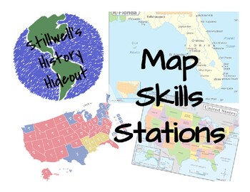
Geography Skills - Map Skills Stations
A supplemental lesson intended to reinforce map skills with 20 questions including an answer key. Topics covered include types of maps, reading a map key/legend, scale bar, elevation, population density, cardinal directions, and more! 5 different types of maps, including political, physical, electoral, population density, and historical. Please check out my other lessons and materials!
Grades:
5th - 10th
Types:
Latitude & Longitude Worksheets
This free resource is a 3 page set of worksheets introducing latitude and longitude. The set also includes answer keys. Worksheets are sometimes neccessary and are great when you have a substitute teacher. These worksheets contain definitions and information on latitude and longitude so they can be used by students independently.
Grades:
4th - 8th
Types:
CCSS:
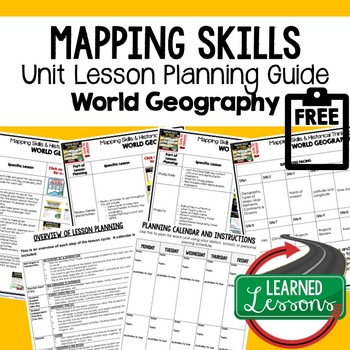
Mapping Skills Lesson Plan Guide for World Geography, Back To School
Mapping Skills Unit Lesson Planning, Mapping Skills Lesson Plan Guide, World Geography Lesson Planning Guide, Mapping Skills Pacing GuideThese lesson plan guides provide links to activities that support each component of the lesson cycle. The is also a pacing guide for the unit and course. There is an overview breakdown of how to plan a lesson and a lesson plan template to help get you organized. Also part of in WORLD GEOGRAPHY MEGA BUNDLE & MAPPING SKILLS BUNDLE. World Geography Lesson Pl
Subjects:
Grades:
6th - 12th
Types:
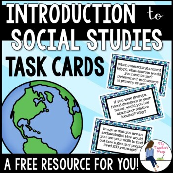
Introduction to Social Studies Task Cards FREE
This resource includes 12 task cards related to the introduction of important social studies concepts like chronology, the themes of geography, primary and secondary sources, the branches of history and types of maps!Task cards are an effective resource in the classroom. These task cards can be used as part of group trivia games, entrance or exit slips, or as work for centers. The possibilities are truly endless! Included in this resource:1. A Note for the Teacher2. 12 different task cards3. Tea
Grades:
4th - 8th
Types:
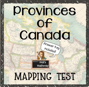
Provinces of Canada Mapping Test with Answer Key
*FREEBIE* Provinces of Canada fill-in-the-blanks worksheet/mapping test for Canadian Geography and Social Studies. With the given names of provinces and territories, students must label each correctly on the blank line.This download includes:Fill-in-the-blanks Provinces of Canada worksheet/testStudent answer keyTeacher answer keyPlease rate and leave feedback!- Hal's Hallway
Grades:
K - 9th
Types:
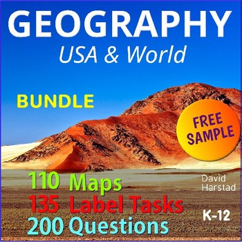
FREE - Map Skills | North America (Gr. 3-7)
FREE - Map Skills - Geography Bundle. In this free map skills sample: North America Map & Questions (pdf). Map Skills is part of the larger Geography Bundle: Maps, Questions, Labeling, which includes the following:Click links for full previews.A) 28 USA Maps• USA – 13 Colonies• USA – Civil War 1860• USA – Electoral Map• USA – Federal Land• USA – Goat Population• United States of America (abbreviations)• USA – Major Cities & Interstates• USA – Major Cities• USA – Major Cities• USA – Mani
Subjects:
Grades:
K - 12th
Types:
Also included in: Top Sellers on TpT
Showing 1-24 of 983 results


