88 results
Adult education geography workbooks

Tourism - Unit Booklet
This booklet allows students to explore tourism from its definition to types of tourism and their impacts. The unit starts by introducing the difference between leisure and tourism, where we holiday, the types of tourism available to us and how our holidays have changed and grown.Tourism as an economic activity is explored in terms of the employment and GDP generated. Impacts of tourism are investigated in the unlikely but busy location of Antarctica, while the management of these social, econom
Grades:
5th - 12th, Higher Education, Adult Education
Types:
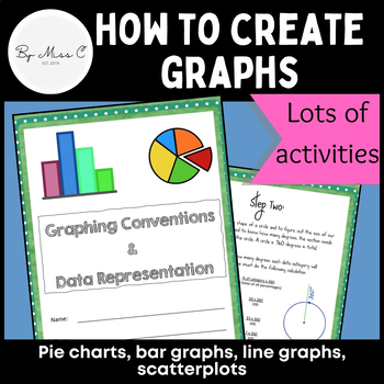
Guide to graphs: Pie charts, bar graphs, line graphs, scatterplots + activities
This is a fantastic resource for introducing students to graphing and data representation. This booklet will take students through the uses for particular graphs and how to construct them. At the end of each module, there are activities for students to complete, to practice their graphing skills. Answer key is included, making this a no-prep activity. This booklet covers: - why we visually represent data- pie charts and how to create them - bar graphs and how to create them - line graphs and how
Subjects:
Grades:
6th - 12th, Higher Education, Adult Education
Types:
CCSS:
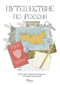
Путешествие по России Трехмесячный курс
Это материалы нашего онлайн-курса, адаптированные для домашних занятий. Для тех, у кого рядом нет русской школы. Для тех, кто не может присоединиться к онлайн-занятиям с учителем. А еще для учителей, которые занимаются с маленькими группами детей 8-10 лет.В комплекте: 13 PDF файлов, 146 страниц, материал примерно на 4 месяца занятий.Материалы курса:— 13 тем, 13 городов от Калининграда до Петропавловска-Камчатского;— 24 домашних занятия продолжительностью около часа каждое;— 29 страниц подробных
Subjects:
Grades:
2nd - 4th, Adult Education

Japan: The Land and Its People workbook Second Edition
This 25 page, color booklet is packed with information and activities for your students. Topics and activities are as follows:GeographyClimateGovernmentMap of Japan: Major CitiesJapanese History Timeline*People and CultureReligionFood and DrinkKimonoGeishaArts and EntertainmentSchoolSports JapaneseTen Interesting Facts about JapanJapan ReviewJapan Review: History Section*Design Your Own KimonoOrigamiHaikuMore to ExploreJapan Word SearchJapanese History Crossword* The history timeline and histor
Subjects:
Grades:
6th - 9th, Adult Education
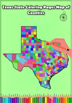
Texas State Coloring Pages Map of Counties Highlighting Rivers Lakes Cities
Click Here>>> for more interactive resourcesTexas State Coloring Pages Map of Counties Highlighting Rivers Lakes CitiesOpen your mind to Texas colorful adventure with these exciting coloring pages! Explore and bring each Texas county to life with these detailed and engaging illustrations. Each page offers a unique opportunity to explore Alabama's geography, highlighting its rivers, lakes, and key towns.These coloring pages are ideal for anyone interested in discovering the beauty and g
Grades:
PreK - 12th, Higher Education, Adult Education
Types:
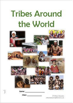
Tribes Around The World - Unit Of Work
This booklet introduces the students to some of the many tribes still found around the world, it helps them to understand their individualities, as well as their struggles and accomplishes over their harsh environment, be it the rainforest, mountains, deserts, or an island, and the ever changing modern and outside world. Tribe’s studies are:The Kayapo Tribe The Yanomami Tribe The Matsés Tribe The Awá The Chagga People The Sherpa People The Quechua Tribe The San People The Matmata People The Pitc
Grades:
5th - 12th, Higher Education, Adult Education
Types:

China - A Research Project
26.7.2020As digital activities does not support zip file I have transferred the poster and answer with the preview. I then can list the resource as individual PDF in order to convert it to digital activities.China - A research project is a 14 pages study on China. Use it as a class test or research project.Download Preview File - Please view China preview file prior to purchasing as the preview is all the resources in this pack. Please ensure that the resource is appropriate for your grade level
Grades:
6th - 8th, Adult Education, Staff
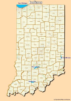
Map of major rivers and map of major lakes in the state of Indiana, USA
Map of major rivers and map of major lakes in the state of Indiana, USAThis material gives you two specific maps, one for rivers and one for lakes, which provide an engaging way to learn about geography.Rivers Map: This map shows the major rivers in Indiana. Using a blank map, students can fill in the names of rivers on the blank map, developing their geography and mapping skills.Lakes Map: Discover the largest lakes in the state of Indiana. Using this white map, students will be able to identif
Subjects:
Grades:
5th - 12th, Higher Education, Adult Education
Types:
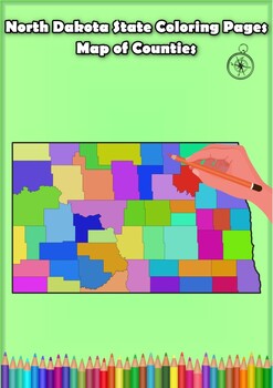
North Dakota State Coloring Pages Map of Counties Highlighting Rivers Lakes
Click Here>>> for more interactive resourcesNorth Dakota State Coloring Pages Map of Counties Highlighting Rivers Lakes CitiesOpen your mind to North Dakota colorful adventure with these exciting coloring pages! Explore and bring each North Dakota county to life with these detailed and engaging illustrations. Each page offers a unique opportunity to explore Alabama's geography, highlighting its rivers, lakes, and key towns.These coloring pages are ideal for anyone interested in discover
Grades:
PreK - 12th, Higher Education, Adult Education
Types:

Eurovision: Geography In Action (Unit Of Work)
This unit of work encourages students to appreciate the links between music and Geography, through traditional music and Eurovision. Why music is popular, the many genres and when music is used is studied and investigated for its links.Traditions from Brazil, China, England, India, and Russia are investigated for their similarities in instruments, dances, and festivals. Music as an economic activity is explored, in addition to festivals in the United Kingdom and why they maybe located where they
Grades:
6th - 12th, Higher Education, Adult Education
Types:
World Geography Through the 5 Senses
I created this world geography curriculum for our 5th and 6th grade homeschooling co-op in Idaho, though it could be utilized by students as young as 9 through adults. This is a 14 week course. Each lesson was created to be taught within an hour.I ask that you don't share your downloaded purchase with anyone. Please refer them to this site to purchase their own copy. This is for your own home use. Thank you kindly.If you wish to purchase to use at a co-op, please contact me for details.
Subjects:
Grades:
4th - 12th, Adult Education
Types:
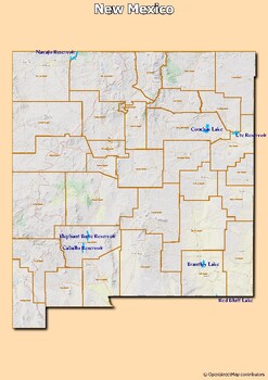
Map of major rivers and map of major lakes in the state of New Mexico, USA
Map of major rivers and map of major lakes in the state of New Mexico, USAThis material gives you two specific maps, one for rivers and one for lakes, which provide an engaging way to learn about geography.Rivers Map: This map shows the major rivers in New Mexico. Using a blank map, students can fill in the names of rivers on the blank map, developing their geography and mapping skills.Lakes Map: Discover the largest lakes in the state of New Mexico. Using this white map, students will be able t
Subjects:
Grades:
4th - 12th, Higher Education, Adult Education, Staff
Types:

Film Industry in Hollywood, California.
Students can learn about the historic and cultural significance of Hollywood as a global center for the film and entertainment industry. They can explore the impact of Hollywood on popular culture, its role in the development of cinema, and the various aspects of the film production process. Additionally, students can understand the economic importance of the entertainment industry, including job opportunities it offers. This example provides insights into the rich history, diversity, and influe
Grades:
6th - 8th, Adult Education
Types:
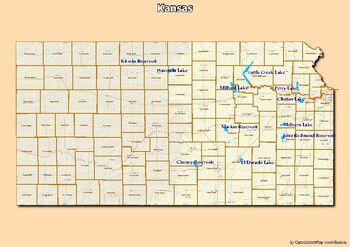
Map of major rivers and map of major lakes in the state of Kansas, USA
Map of major rivers and map of major lakes in the state of Kansas, USAThis material gives you two specific maps, one for rivers and one for lakes, which provide an engaging way to learn about geography.Rivers Map: This map shows the major rivers in Kansas. Using a blank map, students can fill in the names of rivers on the blank map, developing their geography and mapping skills.Lakes Map: Discover the largest lakes in the state of Kansas. Using this white map, students will be able to identify a
Grades:
4th - 12th, Higher Education, Adult Education
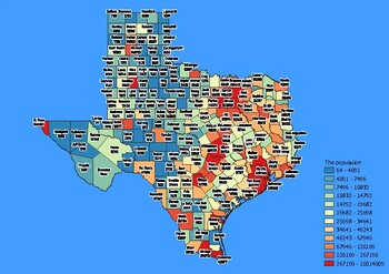
Texas State Map with Population, Density, Area with Worksheet
Click Here>>> click here to subscribe to our storeTexas State Map with Population, Density, Area with WorksheetDiscover the state of Texas in an exciting and interactive way with this set of 4 detailed maps! Each map is categorized by county and provides essential information on population, density, and area, providing a comprehensive overview of the state's diversity and demographics.The population map shows the numerical distribution of residents in each county of the state, providing
Grades:
4th - 12th, Higher Education, Adult Education
Types:
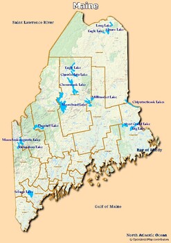
Map of major rivers and map of major lakes in the state of Maine, USA
Map of major rivers and map of major lakes in the state of Maine, USAThis material gives you two specific maps, one for rivers and one for lakes, which provide an engaging way to learn about geography.Rivers Map: This map shows the major rivers in Maine. Using a blank map, students can fill in the names of rivers on the blank map, developing their geography and mapping skills.Lakes Map: Discover the largest lakes in the state of Maine. Using this white map, students will be able to identify and
Grades:
4th - 12th, Higher Education, Adult Education
Types:

From Times Square to Central Park: Insights into Human Geography.
From Times Square to Central Park: Insights into Human Geography of New York City" offers students a unique lens through which they can learn about urban diversity and its impact. By exploring Times Square, they understand the dynamics of a bustling commercial and cultural epicenter and how people from different backgrounds coexist and interact.Central Park provides insight into the city's commitment to balancing urbanization with green spaces for recreation and cultural activities. The subway s
Grades:
7th - 9th, Adult Education
Types:
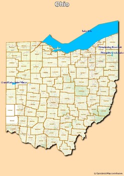
Map of major rivers and map of major lakes in the state of Ohio, USA
Map of major rivers and map of major lakes in the state of Ohio, USAThis material gives you two specific maps, one for rivers and one for lakes, which provide an engaging way to learn about geography.Rivers Map: This map shows the major rivers in Ohio. Using a blank map, students can fill in the names of rivers on the blank map, developing their geography and mapping skills.Lakes Map: Discover the largest lakes in the state of Ohio. Using this white map, students will be able to identify and mar
Grades:
4th - 12th, Higher Education, Adult Education
Types:
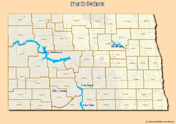
Map of major rivers and map of major lakes in the state of North Dakota, USA
Map of major rivers and map of major lakes in the state of North Dakota, USAThis material gives you two specific maps, one for rivers and one for lakes, which provide an engaging way to learn about geography.Rivers Map: This map shows the major rivers in North Dakota. Using a blank map, students can fill in the names of rivers on the blank map, developing their geography and mapping skills.Lakes Map: Discover the largest lakes in the state of North Dakota. Using this white map, students will be
Grades:
4th - 12th, Higher Education, Adult Education
Types:
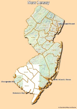
Map of major rivers and map of major lakes in the state of New Jersey, USA
Map of major rivers and map of major lakes in the state of New Jersey, USAThis material gives you two specific maps, one for rivers and one for lakes, which provide an engaging way to learn about geography.Rivers Map: This map shows the major rivers in New Jersey. Using a blank map, students can fill in the names of rivers on the blank map, developing their geography and mapping skills.Lakes Map: Discover the largest lakes in the state of New Jersey. Using this white map, students will be able t
Grades:
4th - 12th, Higher Education, Adult Education
Types:
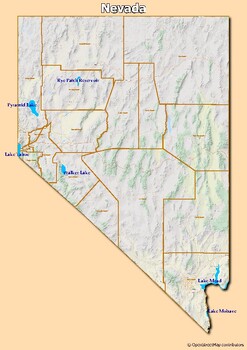
Map of major rivers and map of major lakes in the state of Nevada, USA
Map of major rivers and map of major lakes in the state of Nevada, USAThis material gives you two specific maps, one for rivers and one for lakes, which provide an engaging way to learn about geography.Rivers Map: This map shows the major rivers in Nevada. Using a blank map, students can fill in the names of rivers on the blank map, developing their geography and mapping skills.Lakes Map: Discover the largest lakes in the state of Nevada. Using this white map, students will be able to identify a
Grades:
5th - 12th, Higher Education, Adult Education, Staff
Types:
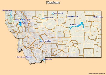
Map of major rivers and map of major lakes in the state of Montana, USA
Map of major rivers and map of major lakes in the state of Montana, USAThis material gives you two specific maps, one for rivers and one for lakes, which provide an engaging way to learn about geography.Rivers Map: This map shows the major rivers in Montana. Using a blank map, students can fill in the names of rivers on the blank map, developing their geography and mapping skills.Lakes Map: Discover the largest lakes in the state of Montana. Using this white map, students will be able to identif
Subjects:
Grades:
5th - 12th, Higher Education, Adult Education
Types:
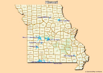
Map of major rivers and map of major lakes in the state of Missouri, USA
Map of major rivers and map of major lakes in the state of Missouri, USAThis material gives you two specific maps, one for rivers and one for lakes, which provide an engaging way to learn about geography.Rivers Map: This map shows the major rivers in Missouri. Using a blank map, students can fill in the names of rivers on the blank map, developing their geography and mapping skills.Lakes Map: Discover the largest lakes in the state of Missouri. Using this white map, students will be able to iden
Grades:
4th - 12th, Higher Education, Adult Education
Types:
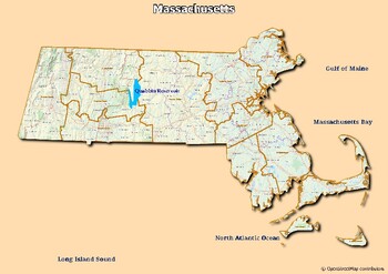
Map of major rivers and map of major lakes in the state of Massachusetts, USA
Map of major rivers and map of major lakes in the state of Massachusetts, USAThis material gives you two specific maps, one for rivers and one for lakes, which provide an engaging way to learn about geography.Rivers Map: This map shows the major rivers in Massachusetts. Using a blank map, students can fill in the names of rivers on the blank map, developing their geography and mapping skills.Lakes Map: Discover the largest lakes in the state of Massachusetts. Using this white map, students will
Grades:
5th - 12th, Higher Education, Adult Education
Types:
Showing 1-24 of 88 results


