17 results
Free adult education geography workbooks
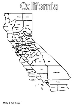
California State Map with Counties Coloring and Learning
Click Here>>> for more interactive resourcesCalifornia State Map with Counties Coloring and LearningWelcome to our interactive educational resource - a detailed map of the state of California with its counties! This vibrant and informative map is specifically designed to support learning and exploration of California state geography in an engaging way.How You Can Use This Resource:Educational Activities: Introduce California state geography in an engaging way in your geography or histor
Grades:
PreK - 12th, Higher Education, Adult Education
Types:
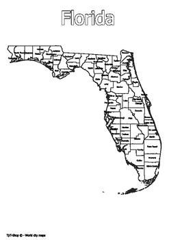
Florida State Map with Counties Coloring and Learning
Click Here>>> for more interactive resourcesFlorida State Map with Counties Coloring and LearningWelcome to our interactive educational resource - a detailed map of the state of Florida with its counties! This vibrant and informative map is specifically designed to support learning and exploration of Florida state geography in an engaging way.How You Can Use This Resource:Educational Activities: Introduce Florida state geography in an engaging way in your geography or history lessons.In
Grades:
PreK - 12th, Higher Education, Adult Education
Types:
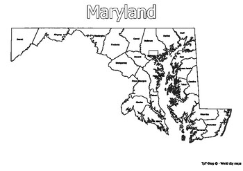
Maryland State Map with Counties Coloring and Learning
Click Here>>> for more interactive resourcesMaryland State Map with Counties Coloring and LearningWelcome to our interactive educational resource - a detailed map of the state of Maryland with its counties! This vibrant and informative map is specifically designed to support learning and exploration of Maryland state geography in an engaging way.How You Can Use This Resource:Educational Activities: Introduce Maryland state geography in an engaging way in your geography or history lesson
Grades:
PreK - 12th, Higher Education, Adult Education
Types:
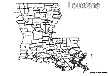
Louisiana State Map with Counties Coloring and Learning
Click Here>>> for more interactive resourcesLouisiana State Map with Counties Coloring and LearningWelcome to our interactive educational resource - a detailed map of the state of Louisiana with its counties! This vibrant and informative map is specifically designed to support learning and exploration of Louisiana state geography in an engaging way.How You Can Use This Resource:Educational Activities: Introduce Louisiana state geography in an engaging way in your geography or history le
Grades:
PreK - 12th, Higher Education, Adult Education
Types:
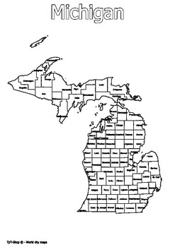
Michigan State Map with Counties Coloring and Learning
Click Here>>> for more interactive resourcesMichigan State Map with Counties Coloring and LearningWelcome to our interactive educational resource - a detailed map of the state of Michigan with its counties! This vibrant and informative map is specifically designed to support learning and exploration of Michigan state geography in an engaging way.How You Can Use This Resource:Educational Activities: Introduce Michigan state geography in an engaging way in your geography or history lesson
Grades:
PreK - 12th, Higher Education, Adult Education
Types:
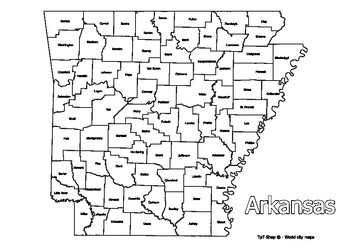
Arkansas State Map with Counties Coloring and Learning
Click Here>>> for more interactive resourcesArkansas State Map with Counties Coloring and LearningWelcome to our interactive educational resource - a detailed map of the state of Arkansas with its counties! This vibrant and informative map is specifically designed to support learning and exploration of Arkansas state geography in an engaging way.How You Can Use This Resource:Educational Activities: Introduce Arkansas state geography in an engaging way in your geography or history lesson
Grades:
PreK - 12th, Higher Education, Adult Education
Types:
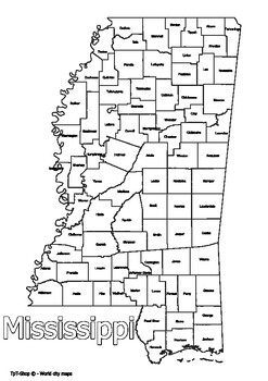
Mississippi State Map with Counties Coloring and Learning
Click Here>>> for more interactive resourcesMississippi State Map with Counties Coloring and LearningWelcome to our interactive educational resource - a detailed map of the state of Mississippi with its counties! This vibrant and informative map is specifically designed to support learning and exploration of Mississippi state geography in an engaging way.How You Can Use This Resource:Educational Activities: Introduce Mississippi state geography in an engaging way in your geography or hi
Grades:
PreK - 12th, Higher Education, Adult Education
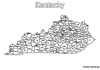
Kentucky State Map with Counties Coloring and Learning
Click Here>>> for more interactive resourcesKentucky State Map with Counties Coloring and LearningWelcome to our interactive educational resource - a detailed map of the state of Kentucky with its counties! This vibrant and informative map is specifically designed to support learning and exploration of Kentucky state geography in an engaging way.How You Can Use This Resource:Educational Activities: Introduce Kentucky state geography in an engaging way in your geography or history lesson
Grades:
PreK - 12th, Higher Education, Adult Education
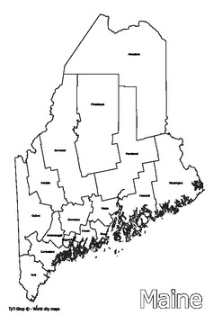
Maine State Map with Counties Coloring and Learning
Click Here>>> for more interactive resourcesMaine State Map with Counties Coloring and LearningWelcome to our interactive educational resource - a detailed map of the state of Maine with its counties! This vibrant and informative map is specifically designed to support learning and exploration of Maine state geography in an engaging way.How You Can Use This Resource:Educational Activities: Introduce Maine state geography in an engaging way in your geography or history lessons.Interactiv
Grades:
PreK - 12th, Higher Education, Adult Education
Types:
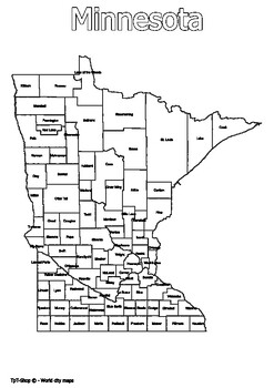
Minnesota State Map with Counties Coloring and Learning
Click Here>>> for more interactive resourcesMinnesota State Map with Counties Coloring and LearningWelcome to our interactive educational resource - a detailed map of the state of Minnesota with its counties! This vibrant and informative map is specifically designed to support learning and exploration of Minnesota state geography in an engaging way.How You Can Use This Resource:Educational Activities: Introduce Alabama state geography in an engaging way in your geography or history less
Subjects:
Grades:
PreK - 12th, Higher Education, Adult Education
Types:
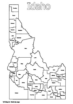
Idaho State Map with Counties Coloring and Learning
Click Here>>> for more interactive resourcesIdaho State Map with Counties Coloring and LearningWelcome to our interactive educational resource - a detailed map of the state of Idaho with its counties! This vibrant and informative map is specifically designed to support learning and exploration of Idaho state geography in an engaging way.How You Can Use This Resource:Educational Activities: Introduce Idaho state geography in an engaging way in your geography or history lessons.Interactiv
Grades:
PreK - 12th, Higher Education, Adult Education
Types:

Connecticut State Map with Counties Coloring and Learning
Click Here>>> for more interactive resourcesConnecticut State Map with Counties Coloring and LearningWelcome to our interactive educational resource - a detailed map of the state of Connecticut with its counties! This vibrant and informative map is specifically designed to support learning and exploration of Connecticut state geography in an engaging way.How You Can Use This Resource:Educational Activities: Introduce Connecticut state geography in an engaging way in your geography or h
Grades:
PreK - 12th, Higher Education, Adult Education
Types:
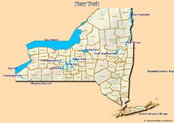
Map of major rivers and map of major lakes in the state of New York, USA
Map of major rivers and map of major lakes in the state of New York, USAThis material gives you two specific maps, one for rivers and one for lakes, which provide an engaging way to learn about geography.Rivers Map: This map shows the major rivers in New York. Using a blank map, students can fill in the names of rivers on the blank map, developing their geography and mapping skills.Lakes Map: Discover the largest lakes in the state of New York. Using this white map, students will be able to iden
Subjects:
Grades:
4th - 12th, Higher Education, Adult Education
Types:
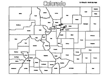
Colorado State Map with Counties Coloring and Learning
Click Here>>> for more interactive resourcesColorado State Map with Counties Coloring and LearningWelcome to our interactive educational resource - a detailed map of the state of Colorado with its counties! This vibrant and informative map is specifically designed to support learning and exploration of Colorado state geography in an engaging way.How You Can Use This Resource:Educational Activities: Introduce Colorado state geography in an engaging way in your geography or history lesson
Grades:
PreK - 12th, Higher Education, Adult Education
Types:
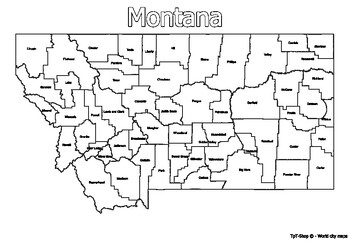
Montana State Map with Counties Coloring and Learning
Click Here>>> for more interactive resourcesMontana State Map with Counties Coloring and LearningWelcome to our interactive educational resource - a detailed map of the state of Montana with its counties! This vibrant and informative map is specifically designed to support learning and exploration of Montana state geography in an engaging way.How You Can Use This Resource:Educational Activities: Introduce Montana state geography in an engaging way in your geography or history lessons.In
Grades:
PreK - 12th, Higher Education, Adult Education
Types:

New Hampshire State Map with Counties Coloring and Learning
Click Here>>> for more interactive resourcesNew Hampshire State Map with Counties Coloring and LearningWelcome to our interactive educational resource - a detailed map of the state of New Hampshire with its counties! This vibrant and informative map is specifically designed to support learning and exploration of New Hampshire state geography in an engaging way.How You Can Use This Resource:Educational Activities: Introduce New Hampshire state geography in an engaging way in your geograp
Grades:
PreK - 12th, Higher Education, Adult Education
Types:
Путешествие по России: открытый урок
Открытый урок курса «Путешествие по России». Что нас ждёт? Узнаем историю Владивостока;познакомимся с местным диалектом;познакомимся с Элеонорой Лорд Прей;спроектируем «Русский квартал» и составим для него рекламную листовку.__________________________________________________________________Данный урок — часть нашего онлайн-курса «Путешествие по России» для детей 8-10 лет. На курсе мы узнаём историю возникновения русских городов, знакомимся с русскими традициями, говорим о городских легендах, р
Subjects:
Grades:
3rd - 5th, Adult Education
Types:
Showing 1-17 of 17 results


