36 results
Geography Common Core RH.9-10.3 handouts
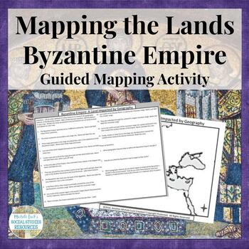
Mapping the Lands of the Byzantine Empire Activity - Geography of Empire
Mapping the Lands of the Byzantine Empire Activity (Part of my Geography IN History Series) is a great lesson for setting the foundation for your unit on the Byzantine Empire and the rule of Justinian and Constantine.This mapping activity guides students through mapping the physical features of the Byzantine Empire (Early Christian Civilization) by researching 15 different questions and topics on the region. Students can use an atlas with a physical map of the region or online sources to comple
Grades:
6th - 10th
Types:
Also included in: Mapping the Lands of the Ancient & Early World Activity Bundle
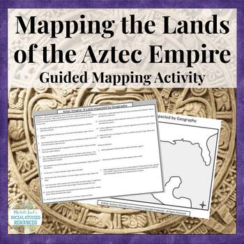
Mapping the Lands of the Aztec Empire Activity - Aztecs Geography
Mapping the Lands of the Aztec Empire Activity (Part of my Geography IN History Series) is the perfect resource for opening up your lesson on the Aztec Empire. This mapping activity guides students through mapping the physical features of the Aztec Empire by researching 15 different questions and topics on the region. Students can use an atlas with a physical map of the region or online sources to complete the activity.Includes a map of the region and the student handout with 15 questions for m
Grades:
6th - 10th
Types:
Also included in: Mapping the Lands of the Ancient & Early World Activity Bundle
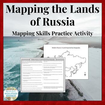
Mapping the Lands of Russia Activity - Geography of Russian Region
This mapping activity guides students through mapping the physical features of Russia by researching 20 different questions and topics on Russia and her Geography. Students can use an atlas with a physical map of Russia or online sources to complete the activity.Includes a map of Russia and the student handout with 20 questions.A completed map and answer key are included.Skills Practiced:Map Reading Map CreatingResearchImage AnalysisCreated for use leading into a unit on WWI and the Russian Rev
Grades:
6th - 12th
Types:
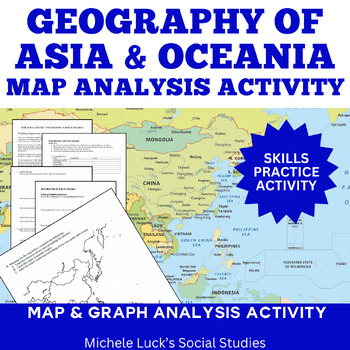
Asia and Oceania Geography Introduction Atlas Mapping Data Analysis Activity
Introduce the Geography of Asia and Oceania with a concise Atlas Activity. This is the activity I use to introduce my students to the physical geography of Asia and Oceania. Since Asia can be split into 3 smaller regions (South, East, and Southeast), it is the same activity form for each of the 3 regions plus one for Oceania, with a cumulative mapping assignment and essay prompt at the end. Assignment requires students to investigate the physical and human statistics and features of the conti
Grades:
6th - 10th
Types:
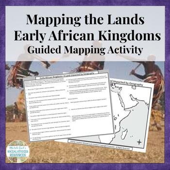
Mapping the Lands of the Early African Kingdoms (Axum, Kush, Bantu) Activity
Mapping the Lands of the Early African Kingdoms Activity (Part of my Geography IN History Series) is ideal for setting the geographic foundation for your unit on African history. This mapping activity guides students through mapping the physical features of the Early African Kingdoms (Axum, Kush, Bantu Migrations) by researching 15 different questions and topics on the region. Students can use an atlas with a physical map of the region or online sources to complete the activity.Includes a map o
Grades:
6th - 10th
Types:
Also included in: Mapping the Lands of the Ancient & Early World Activity Bundle
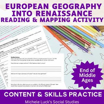
European Geography at the End of the Middle Ages Mapping & Timeline Activity
Are you teaching a unit on the Middle Ages or Renaissance and don't know where to start? Would you like to include geography skills practice in your Middle Ages & Renaissance unit?Investigating European Geography at the End of the Middle Ages Mapping and Timeline Activity helps students understand the geographic impacts as the continent transition from the Middle Ages into the Renaissance.This mapping activity guides students through mapping the physical features and significant places of th
Grades:
6th - 12th
Types:
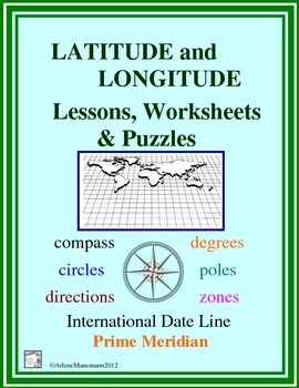
LATITUDE and LONGITUDE
This file contains worksheets and other activities with detailed explanations for latitude and longitude. Items work well in whole class settings and many are well-suited for learning centers. All classroom tested and are student and teacher friendly.
Teacher directions for previewing the lessons and introducing these essentials to students using globes and other standard classroom equipment are included.
Extension and enrichment exercises are included, along with a quiz and a word search pu
Grades:
5th - 10th
Types:
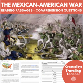
The Mexican-American War: Reading Passages + Comprehension Activities
In this lesson students will be introduced to the Mexican - American War, and the territory that was eventually lost and/or gained by each side. Students will also look at the text features of a non-fiction reading to help gain a greater understanding. After each section of reading students will complete comprehension questions. Also included is a map which details the territory lost after the war.
Grades:
6th - 10th
Types:
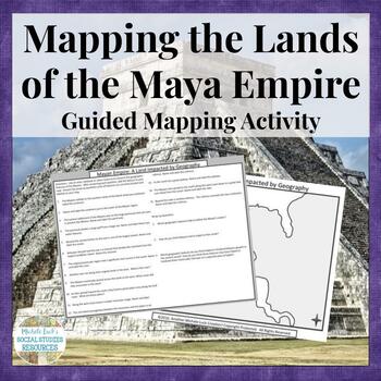
Mapping the Lands of the Maya Empire Activity - Mayans Geography
Mapping the Lands of the Mayan Empire Activity (Part of my Geography IN History Series) is a great lesson to set the foundation for your unit on the American empire.This mapping activity guides students through mapping the physical features of the Mayan Empire by researching 15 different questions and topics on the region. Students can use an atlas with a physical map of the region or online sources to complete the activity.Includes a map of the region and the student handout with 15 questions
Grades:
6th - 10th
Types:
Also included in: Mapping the Lands of the Ancient & Early World Activity Bundle
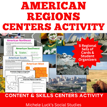
America Regions Geography Centers or Walking Tour Lesson Activity
The American Regions Geography Centers Activity: Tour the regions of America by visiting centers on the foods, history, expressions, physical geography, and so much more for each region. With two options for implementation, you can utilize the content-filled resources in a way that best meets the needs of your class.Set up as centers and have students work in small groups with centers or post content cards on the wall to create a walking tour or gallery walk for your students to move from regio
Grades:
5th - 11th
Types:
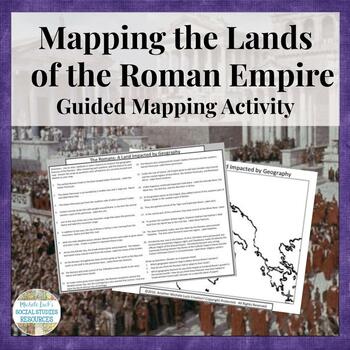
Mapping the Lands of the Romans Activity Ancient Rome to Roman Empire Geography
Mapping the Lands of the Romans Activity (Part of my Geography IN History Series) is the perfect lesson for tracing the history of the Romans from Ancient times into the Roman Empire. This mapping activity guides students through mapping the physical features of the Romans (Ancient to Empire) by researching 20 different questions and topics on the region. Students can use an atlas with a physical map of the region or online sources to complete the activity.Includes 2 maps of the region and the
Grades:
6th - 10th
Types:
Also included in: Mapping the Lands of the Ancient & Early World Activity Bundle
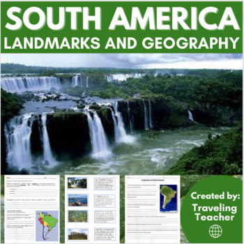
Landmarks of South America: Geography: Reading Passages + Activities
This activity includes 8 different landmarks that are found across South America, including Machu Picchu, the Galapagos Islands, etc. For each, there is a picture and an accompanying description. Also included is a writing prompt to start the class for students, map of South America with questions included, discussion questions in relation to the landmarks and a word search.Check out my other continent related products!Geography Unit Bundle: Earth, Pangea, North & South America, Asia, Arctic
Grades:
6th - 10th
Types:
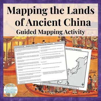
Mapping the Lands of Ancient China Activity Geography of Dynasties
Mapping the Lands of Ancient China Activity (Part of my Geography IN History Series) is a perfect lesson for introducing your students to the geography of the region. This mapping activity guides students through mapping the physical features of Ancient China (Ancient to Han Dynasty) by researching 15 different questions and topics on the region. Students can use an atlas with a physical map of the region or online sources to complete the activity.Includes a map of the region and the student ha
Grades:
6th - 10th
Types:
Also included in: Mapping the Lands of the Ancient & Early World Activity Bundle
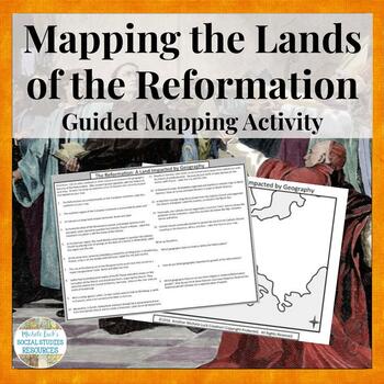
Mapping the Lands of the Reformation Activity Catholic & Protestant Geography
The Mapping the Lands of the Protestant & Catholic Reformations Activity (Part of my Geography IN History Series) is perfect for introducing your unit on the Reformation to help set the foundation for the unit!This mapping activity guides students through mapping the physical features and significant places of the Reformation by researching 15 different questions and topics on the region. Students can use an atlas with a physical map of the region or online sources to complete the activity.
Grades:
6th - 10th
Types:
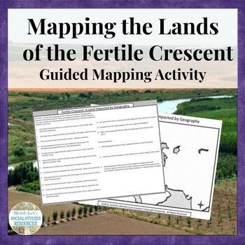
Mapping the Lands of the Fertile Crescent Geography and History Activity
Mapping the Lands of the Fertile Crescent Activity (Part of my Geography IN History Series) is perfect for teaching the geography of the region as you begin a unit. It helps students "see" the history as it developed.This mapping activity guides students through mapping the physical features of the Fertile Crescent by researching 15 different questions and topics on the region. Students can use an atlas with a physical map of the region or online sources to complete the activity.Includes a map
Grades:
6th - 10th
Types:
Also included in: Mapping the Lands of the Ancient & Early World Activity Bundle
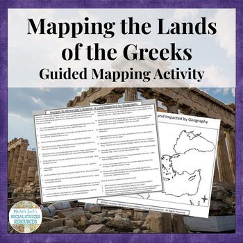
Mapping Lands of Ancient to Alexander's Greece Ancient Greek Geography Activity
Mapping the Lands of Ancient to Alexander's Greece Activity (Part of my Geography IN History Series) is a great way to help students learn the geography of the region as you study the history of the Greeks.This mapping activity guides students through mapping the physical features of Ancient to Classical to Alexander's Greece by researching 20 different questions and topics on the region. Students can use an atlas with a physical map of the region or online sources to complete the activity.Inc
Grades:
6th - 10th
Types:
Also included in: Mapping the Lands of the Ancient & Early World Activity Bundle
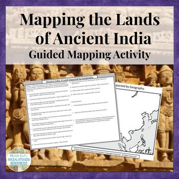
Mapping the Lands of Ancient India Geography and History Activity
Mapping the Lands of Ancient India Activity (Part of my Geography IN History Series) will be a vital resource to help your students understand the geography of the region that impacted the growth of civilization.This mapping activity guides students through mapping the physical features of Ancient India (Mohenjo-Daro & Harappa) by researching 15 different questions and topics on the region. Students can use an atlas with a physical map of the region or online sources to complete the activit
Grades:
6th - 10th
Types:
Also included in: Mapping the Lands of the Ancient & Early World Activity Bundle
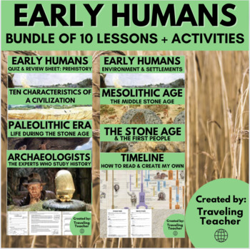
Early Humans Bundle: Stone Age, Paleolithic, Mesolithic, Land Bridge, Sumer
This Early Humans Bundle contains the following lessons and activities:Cause and Effect in Ancient Sumer & Sumerians: Reading Passages + Activities How to Read a Timeline: Ancient History: ActivitiesEnvironmental Factors of Early Human Settlements: Reading Passages + ActivitiesThe Ten Characteristics of a Civilization: Reading Passages + ActivitiesLand Bridge Theory of Migration: Asia to North America: Reading PassagesLearning About the Past & the Experts Who Study It: Ancient History: R
Grades:
6th - 10th
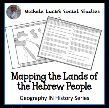
Mapping the Lands of the Ancient Hebrew People Activity
Mapping the Lands of the Ancient Hebrew People Activity (Part of my Geography IN History Series)
This mapping activity guides students through mapping the physical features of the Ancient Hebrew People by researching 15 different questions and topics on the region. Students can use an atlas with a physical map of the region or online sources to complete the activity.
Includes a map of the region and the student handout with 15 questions for mapping and 3 wrap-up questions.
A photographed comp
Grades:
6th - 11th
Types:
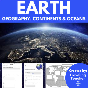
Geography of Earth: Continents & Oceans: Reading Passages + Activities
This is an introductory lesson to geography of the world. Students will learn about the continents and oceans that make up the world, as well as other relevant facts (how many of each are there; what is the biggest ocean and continent; what percentage of the world is water and land, etc.). Also included is a blank world map so students can correctly label the oceans and continents of the world (teacher version is also included).Check out my other continent related products!Geography Unit Bundle:
Subjects:
Grades:
4th - 10th
Types:
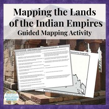
Mapping the Lands of the Indian Empires of Mauryan and Gupta Geography Activity
Mapping the Lands of the Indian Empires Activity (Part of my Geography IN History Series) will help your students become familiar with the Geography of the Mayran and Gupta Early Indian Empires. This mapping activity guides students through mapping the physical features of the Indian Empires (Mauryan and Gupta Empires) by researching 15 different questions and topics on the region. Students can use an atlas with a physical map of the region or online sources to complete the activity.Includes a
Grades:
6th - 10th
Types:
Also included in: Mapping the Lands of the Ancient & Early World Activity Bundle
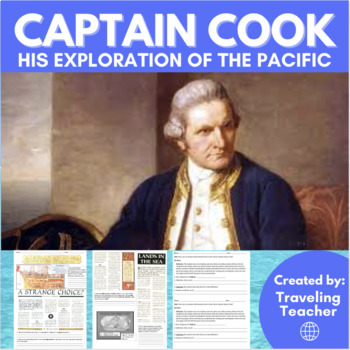
Captain James Cook & His Exploration of the Pacific Ocean: Reading + Geography
In this lesson students will learn about Captain James Cook and the three expeditions he made in the 1700's. Specifically, students will read about the vital role that Cook played in not only exploring the largely unexplored Pacific Ocean, but also in mapping the worlds largest ocean. The lesson includes two articles for students to read, as well short response questions and a writing prompt to start the class.Updated December 2023 to include a PDF version!--> Want all of my ancient civilizat
Grades:
6th - 10th
Types:
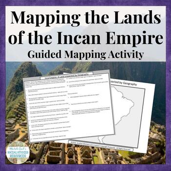
Mapping the Lands of the Inca Empire Activity - Incans Geography
Mapping the Lands of the Inca Empire Activity (Part of my Geography IN History Series) is a great activity to help set the foundation for your unit on the Americas. This mapping activity guides students through mapping the physical features of the Inca Empire by researching 15 different questions and topics on the region. Students can use an atlas with a physical map of the region or online sources to complete the activity.Includes a map of the region and the student handout with 15 questions f
Grades:
6th - 10th
Types:
Also included in: Mapping the Lands of the Ancient & Early World Activity Bundle
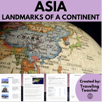
Landmarks of Asia: Geography: Reading Passages + Printable Worksheets
This activity includes 11 different landmarks that are found across Asia, including the Great Wall of China and the Taj Mahal. For each landmark, there is a picture and an accompanying description. Also included is a writing prompt to start the class for students, a list of Asian countries with questions included, discussion questions in relation to the landmarks and a word search.Check out my other continent related products!Geography Unit Bundle: Earth, Pangea, North & South America, Asia,
Grades:
6th - 10th
Types:
Showing 1-24 of 36 results


