🎉 Teacher Appreciation: Save up to 25% using promo code THANKYOU24. Sale ends in 8 hrs 24 min. Learn more
4,698 results
Common Core RH.9-10.7 resources
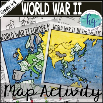
World War II (World War 2) Map & Geography Activity for Europe & the Pacific
These World War II in Europe and World War 2 in the Pacific maps will help students become more familiar with the nations of Europe and those in the Pacific during World War II by identifying which countries belonged to the Allies, which ones joined the Axis, which ones were controlled by the Axis Powers, and which ones remained neutral. On the World War II in Europe map, students will also label the Maginot Line, the Battle of Dunkirk, the Battle of Britain, the Battle of Stalingrad, the Battl
Subjects:
Grades:
6th - 11th
Types:
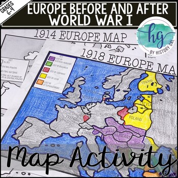
World War I Map Activity Lesson (1914 & 1918 Europe Maps)Print &Digital Resource
These 1914 and 1918 Europe Map worksheets will help students understand the effects of World War I on the European map. They will also help students become more familiar with the nations of Europe during World War 1 by identifying which European countries belonged to the Allies, which ones joined the Central Powers, and which ones remained neutral. Additionally, students will be able to identify the new nations that were created after World War I and which nations lost territory after the war.Wh
Subjects:
Grades:
6th - 10th
Types:
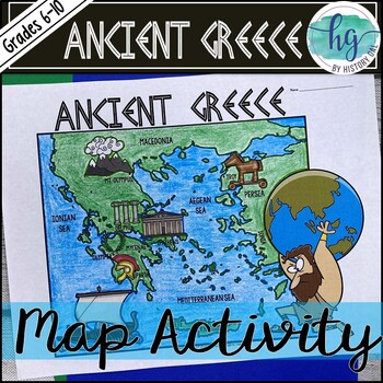
Ancient Greece Geography Map Activity (Print and Digital Resource)
This activity will help students better understand the geography of Greece and its impact on Ancient Greek civilizations. They will label and color the blank map version and then answer a few questions. Alternatively, students can just color on the coloring page version. It's a great way to incorporate geography in your lesson.What's included with the Printed Versions:*Ancient Greece map for students to label, color, and answer 10 questions (1 page map, 1 page directions/questions, uneditable pd
Grades:
6th - 10th
Types:
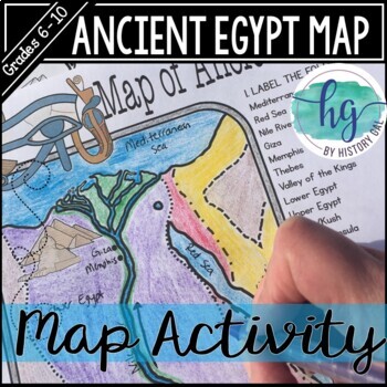
Ancient Egypt Map Activity (Print and Digital Resource)
Students will learn about important places in the Ancient Egypt civilization as they label and color a map. It's also a great way to incorporate geography in your lesson.What's included with the printed version:Blank Ancient Egypt map for students to label and color (1 page, uneditable pdf)Map Key (1 page, uneditable pdf)Ancient Egypt map for students to just color (1 page, uneditable pdf)Informational Reading (1 page, uneditable pdf) Animated PowerPoint shows each location and the key - perfect
Subjects:
Grades:
6th - 10th
Types:
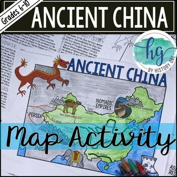
Ancient China Map Activity Lesson (Print and Digital Resource)
This activity will help students better understand the geography of Ancient China. They will label and color the blank map version and answer a few questions. Alternatively, students can just color on the coloring page version. It's a great way to incorporate geography in your lesson.What's included with the printed versions:*Blank Ancient China map for students to label, color, and answer questions (1 page map, 1 page directions, uneditable pdf)*Blank Ancient China map for students to label, co
Grades:
6th - 10th
Types:
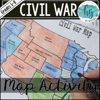
Civil War Map Activity Lesson with Battles (Print and Digital)
This Civil War map activity will help students understand what the United States looked like at the start of the Civil War including its western territories, where significant battles occurred, and which states were Union, Confederate, or Borders states. It's also a great way to incorporate geography into your unit. Students will label, color, and draw on the map and then answer a few questions.What's Included with the Printed Versions:*Blank Civil War Map for students to label, color, and answ
Subjects:
Grades:
7th - 11th
Types:
Also included in: Civil War Unit Bundle
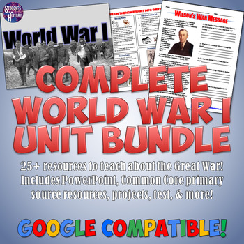
World War 1 Unit and Lesson Plan Bundle: Projects, Activities, Maps, & More
This fantastic World War I Unit Bundle includes an incredible set of over 25 teaching resources for a complete, interactive unit! Every day is planned out with lesson plans that have been tested over a number of years to fantastic success when teaching about WWI. Each of these individual activities is included:WW1 Google Drive NotebookWWI PowerPoint & Guided Notes, & Flipped Classroom VideoWWI in 3D PowerPointWW1 Battles Station Lesson or QR Code ProjectA set of Interactive Notebook Page
Grades:
6th - 11th
Also included in: American History Mega Unit Bundle Part 3: Gilded Age to Great Depression
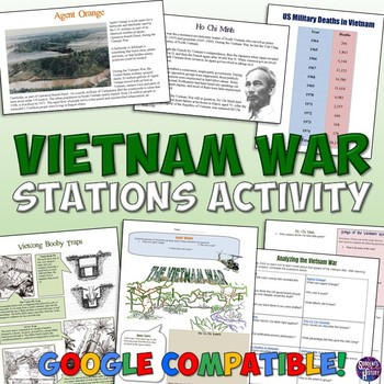
Vietnam War Station Activity for the Cold War
This engaging lesson for the Vietnam War has students rotate through stations to learn about various aspects of America's War in Vietnam. The 7 different stations cover:The Cu Chi TunnelsVietcong Booby TrapsAgent OrangeHo Chi MinhSongs of the Vietnam WarThe Draft and ProtestsMilitary Deaths in the WarEach station engages different intelligences and learning styles. Students create a graph, listen to music, draw pictures, read, answer questions,and analyze pictures. My students are always engaged
Grades:
5th - 10th
Types:
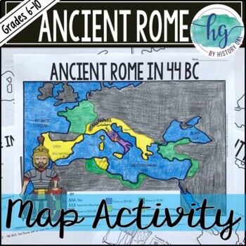
Ancient Rome to 44 BCE Map Activity (Print and Digital)
Students will label and color a map of Ancient Rome in 44 BC/BCE to better understand the expansion of Roman power. Students will also answer 6 questions about the map. What's Included with the print versions:*Blank map with 6 questions for students to answer (2 pages, BC and BCE versions included, uneditable pdf)*Blank map without questions (1 1/2 pages, BC and BCE versions included, uneditable pdf)*Map for students to just color (1 page, BC and BCE versions included, uneditable pdf)*Answer key
Subjects:
Grades:
6th - 9th
Types:
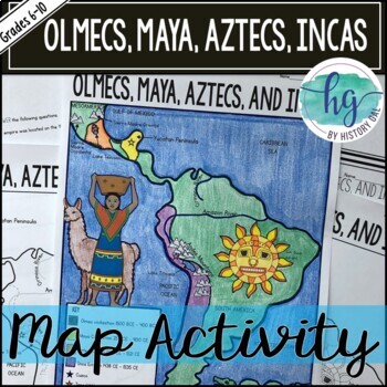
Mesoamerica (Olmecs, Maya, Aztecs) and Incas Map Activity - print & digital
Students will label and color a map to help them visualize and retain the location of the Olmecs, Maya, Aztecs, and Incas in Mesoamerica and South America. They will also label bodies of water and mountain ranges as well as use the map to answer 5 questions. What's Included with the Printed Map:*Blank map with 5 questions for students to answer (2 pages, uneditable pdf)*Blank map without questions (1 1/2 pages, uneditable pdf)*Map for students to just color (1 page, uneditable pdf)*Answer key fo
Subjects:
Grades:
6th - 9th
Types:
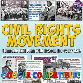
Civil Rights Movement Unit Plan Bundle: Activities, Projects, Worksheets, & More
This amazing Civil Rights Movement unit bundle includes over 40 resources to teach an engaging unit on the people, events, and history students need to know based on state and Common Core Standards!In addition to all the great resources below, you all receive lesson plans for every day of the unit! These include video and Google Drive links, ideas for differentiation, and more! All of the following individual resources are included. Check out each one for images, details, and reviews:A Civil Rig
Subjects:
Grades:
5th - 11th
Also included in: American History Mega Bundle Part 4: World War II to Modern America
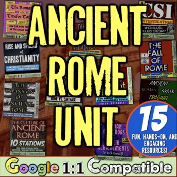
Ancient Rome Empire World History Activities Unit | Ancient Rome Activities Unit
In this Ancient Rome and Roman Empire Resources Unit, you receive 15 activities to teach ancient Rome, the Roman Republic, the Roman Empire, the rise of Julius Caesar, the Rise of Christianity, and much more! My ancient Rome unit bundle is filled with Google 1:1 ready resources and activities that will excite your classroom on your study of Ancient Rome. Since traditional and 1:1 digital versions are included, this unit is ideal for distance learning. This bundle saves you over 30% instead of
Grades:
5th - 9th
Types:
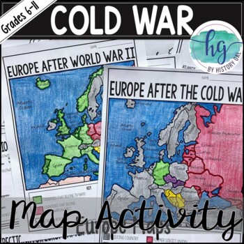
Cold War Map Activity for Europe Before & After the Cold War (Print and Digital)
These two maps will help students become more familiar with Europe during and after the Cold War. Students will identify nations that belonged to NATO, the Warsaw Pact, and which ones remained neutral. In addition students will learn how the map of Europe changed after the Cold War ended. What's Included with the Print Versions:*Blank Europe After World War II map with questions for students to answer (2 pages)*Blank Europe After World War II map without questions (1 1/2 pages) *Coloring Page fo
Subjects:
Grades:
7th - 10th
Types:
Also included in: American History Map Activities Bundle for U.S. History Units & Lessons
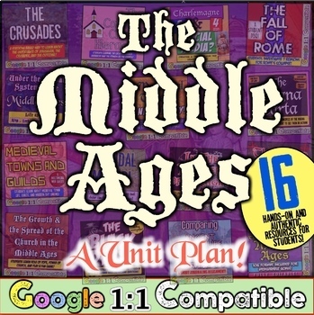
Middle Ages and Medieval Europe Unit Activities for World History Middle Ages
In this super engaging Middle Ages Unit, you receive 16 highly-engaging resources and activities for Charlemagne, the Fall of Rome, the rise of Feudalism, the Catholic Church, the Crusades, Magna Carta, and much more! Each resource is Google 1:1 compatible and these Middle Ages resources will excite your classroom on your study of the Medieval Europe! This bundle saves you over 30% instead of purchasing each activity separately! Instead of paying almost $55 separately, buy this unit for only $
Grades:
5th - 9th
Types:
Also included in: Middle Ages Bundle | Medieval Europe and Japan | Medieval Times Bundle
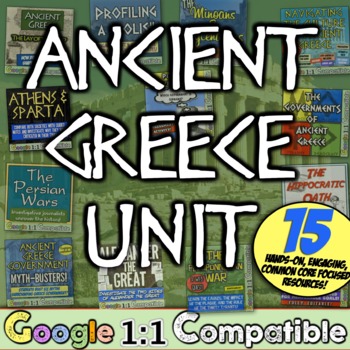
Ancient Greece Activities Unit for World History and Ancient Civilizations
In this Ancient Greece Activities and Resources Unit, you receive 15 highly engaging Ancient Greece and Ancient Civilizations activities and resources that will excite and engage your class on the study of Ancient Greece, Athens, Sparta, the Olympics, Alexander the Great, and much more. This bundle saves you over 30% over buying each activity separately!Each Ancient Greece activity aligns very easily with the new ELA Common Core standards! Also, each resource in this Greece Unit includes both p
Grades:
5th - 9th
Types:
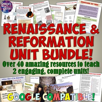
Renaissance and Reformation Unit Plan Bundle
This amazing, Renaissance and Reformation Complete Unit Bundle includes over a month of full lesson plans and activities for 2 complete units in World History! Each day is fully planned out for you with multiple activities and resources! All of the following TpT resources are included in this bundle:Renaissance & Reformation Interactive Notebook SetRenaissance & Reformation Google Drive Digital NotebookLeonardo da Vinci Reading and Interactive Notebook ActivityIntroduction to the Renais
Subjects:
Grades:
5th - 11th
Types:
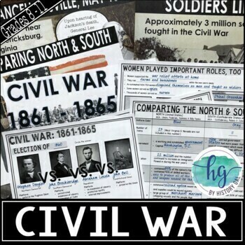
Civil War PowerPoint & Guided Notes (Print and Digital) Print & Go Lesson!
This 97 slide PowerPoint presentation covers the American Civil War beginning with the 1860 Presidential Election through the surrender of Confederate troops at Appomattox Court House and Bennett Place in April 1865. It includes the following topics:- Election of 1860- Crittenden Compromise- Creation of the Confederate States of America- Border States- Fort Sumter- Comparison of the North and South (number of states, government, population, industry, transportation, finances, military forces)- I
Subjects:
Grades:
8th - 11th
CCSS:
Also included in: Civil War Unit Bundle
Civics and Government Inquiry Full Course Curriculum for High School
Transform your high school Civics class with this inquiry-driven and project-based complete done-for-you semester course.Whether you're new to Civics or looking to upgrade to something powerful, this course will cultivate intrigue and skills in your students to be informed and engaged change-makers.Best of all, every student activity comes in both print PDF and paperless Google files, making it perfect for any setting. Your download-and-done, semester-long curriculum contains: Course Overview an
Subjects:
Grades:
9th - 12th
Types:
CCSS:
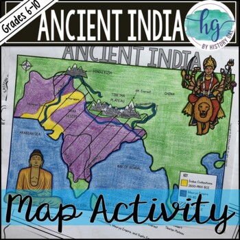
Ancient India Map Activity (Indus Civilizations, Maurya & Gupta Empire)
Students will label and color a map to help them visualize and retain the location of the Indus Civilizations, Maurya Empire, and Gupta Empire as well as key geographical features such as the Brahmaputra, Ganges, and Indus Rivers; Eastern and Western Ghats; Himalayas; Hindu Kush, and more. Students will also use the map to answer 5 questions. What's Included with the printed versions:*Blank map with 5 questions for students to answer (2 pages, uneditable pdf)*Blank map without questions (1 1/2 p
Subjects:
Grades:
6th - 9th
Types:
Also included in: Ancient India Bundle
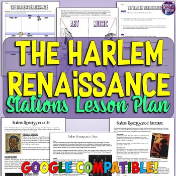
Harlem Renaissance Stations Lesson Activity: Readings, Worksheets, & More
This engaging activity on the Harlem Renaissance includes 23 pages on major authors, artists, and musicians of the era along with readings, primary sources, graphic organizers, and more! A teacher directions page explains several different options for using the materials in a stations lesson plan on the Harlem Renaissance. There are 2 different versions of a graphic organizer for students to use as they move through the stations on art, music, and literature of the Harlem Renaissance. Also inclu
Subjects:
Grades:
7th - 10th
Types:
Also included in: Harlem Renaissance & Roaring 20s Lesson Bundle
AP World History: Modern - Full Curriculum Bundle - 90% Pass Rate - Google Drive
My AP World Full Year curriculum is a living bundle that includes Google Drive access with the download, and any other updates I may add in the future!This complete class curriculum is intended to best-prepare you and your students for passing the AP Test with the exact same model and approach I use. It has helped my students consistently achieve 90%+ passing rates, and I hope it can help some of you--especially those new to teaching AP! FOR BUYERS: MAKE SURE TO DOWNLOAD AND USE THE GOOGLE DRIV
Grades:
9th - 12th, Higher Education, Adult Education
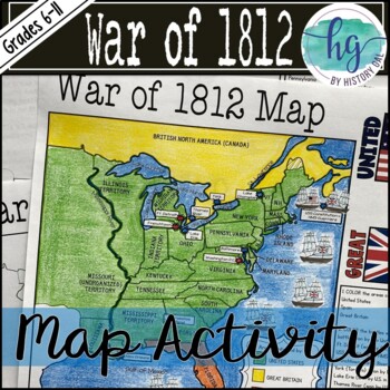
War of 1812 Map Activity Lesson (Print and Digital Resource)
This activity will help students better understand the War of 1812. They will label, color, and answer questions on the blank map version or just color on the coloring page version. It's a great way to incorporate geography in your lesson.What's included with the Print Version:*Blank War of 1812 map for students to label, color, and answer questions (1 page plus 1 page key, uneditable pdf)*War of 1812 Map Coloring Page (1 page plus 1 page key, uneditable pdf)*Reading on the Roots of the War of 1
Subjects:
Grades:
6th - 11th
Types:
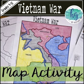
Vietnam War Map Activity (Print and Digital)
This Vietnam War map activity will help students become more familiar with the countries surrounding Vietnam, major cities, and major bodies of water. Students will label, color, and draw on the map and then answer a few questions.What's Included with the Print Version:*Blank Vietnam War Map for students to label, color, and answer questions (1 page map, 1 page directions; uneditable PDF)*Vietnam War Map Coloring Page (already labeled, no questions, 1 page; uneditable PDF)*Blank Vietnam War Map
Subjects:
Grades:
9th - 12th
Types:
CCSS:
Also included in: Vietnam War Bundle
American History 1: Complete Curriculum Bundle: Projects, Activities & Lessons
This US History Curriculum is everything you need in one amazing, digital download with over 300 amazing resources for American History from American Indian groups before colonization through the end of Reconstruction in 1877! This Complete Curriculum includes 10 units, each entirely planned out with lesson plans for every day and engaging activities for students. You can check out each unit and read their glowing reviews here: ExplorationThe 13 ColoniesThe American RevolutionThe ConstitutionEar
Subjects:
Grades:
7th - 10th
Showing 1-24 of 4,698 results

