184 results
3rd grade geography centers $5-10
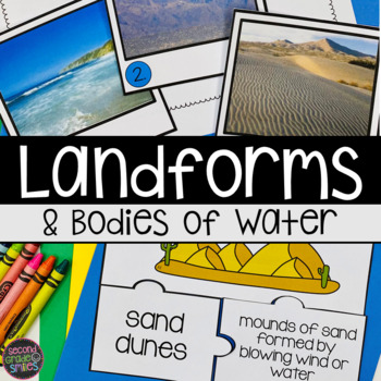
Landforms and Bodies of Water
Teaching about landforms and bodies of water? Help students to recognize and think critically about landforms, bodies of water, and their characteristics with these activities! Hills, mountains, valleys, canyons, cliffs, plateaus, islands, caves, volcanos, sand dunes, peninsulas, beaches, ponds, lakes, bays, streams, rivers, oceans, waterfalls, and glaciers are included. Ideal for first grade, second grade, and third grade classrooms and homeschool students. Integrates writing across the curric
Subjects:
Grades:
1st - 3rd
Types:
NGSS:
2-ESS2-3
, 2-ESS2-2
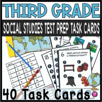
3rd Grade Social Studies Test Prep - Third Grade Social Studies Review
This resources include 40 DIGITAL and PRINTABLE task cards to make practicing and reviewing third grade social studies standards fun and engaging! Simple and easy to use with clear directions make these test prep task cards perfect for social studies centers and whole group SCOOT games! These 3rd grade test prep questions give students practice using map skills, reading timelines, identifying the seven continents, bodies of water, needs and wants, goods and services, and government.CLICK HERE fo
Grades:
3rd
Types:
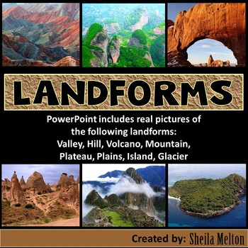
LANDFORMS PowerPoint
Bring Earth's Landforms inside your classroom with this interactive Landforms PowerPoint using all real pictures! It also includes several opportunities for students to answer questions as they learn all about landforms.Students' knowledge can also be assess using the quick quiz at the end.What other teachers have said about this product:"Wonderful, real-life pictures! Students really got an understanding of each land form!""Great resource! My kids and I loved the pictures! Very helpful!""This
Subjects:
Grades:
K - 5th
Also included in: Science PowerPoints BUNDLE (Includes *BONUS* PowerPoint!)
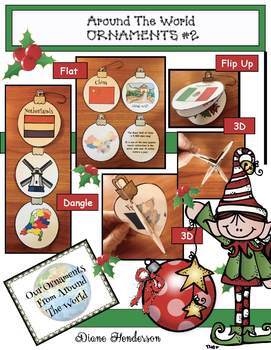
Christmas Around the World Crafts Christmas ORNAMENTS Crafts #2
This Christmas Ornament Craft is an easy, super-fun, "print and go" activity that is perfect for your Christmas Around the World travels. Kindergarten-3rd graders will be enthusiastically engaged! This is the SECOND packet in the series and contains the following countries: * Argentina* Brazil* China* Denmark* Greece* India* Israel* Japan* Netherlands* Norway &* SwitzerlandTeacher Comments:“This is an amazing resource.” “Students loved these crafts.”“Great Resource!” “Loved this activity!”
Grades:
K - 3rd
Also included in: Christmas Around the World Crafts Christmas Ornaments BUNDLE #1
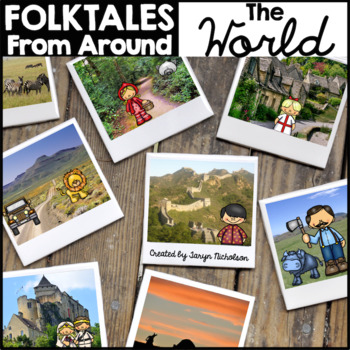
Folktales from Around the World
Grab your passport and travel around the world as you read folktales, fairy tales, fables, pourquoi, and tall tales.
Students can make their own reading passports and collect book stamps as you read and hear folktales from around the world! Buyer's review says, "Perfect for combining folktales and mapping unit".
This Language Arts unit focuses on the Folktale genre, including fairy tales, fables, pourquoi, and tall tales. I have included a list of suggested folktales (categorized by genre and
Subjects:
Grades:
1st - 3rd
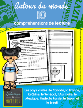
10 compréhensions de lecture (Autour du monde) / FRENCH READING COMPREHENSION
** ENGLISH BELOW **
Bonjour!
Voici un document de 22 pages contenant 10 petites compréhensions de lecture ayant comme thème « Autour du monde ».
Elles sont créées à la base pour des élèves du 1er cycle du primaire. Chaque compréhension comporte 2 pages avec une moyenne de 7 à 10 questions.
Visitez plusieurs pays avec vos élèves grâce à ces compréhensions de lecture!
Les pays : Le Canada, la France, le Mexique, l’Inde, le Japon, la Chine, l’Australie, le Sénégal, la Russie et le Brésil.
Me
Subjects:
Grades:
1st - 4th
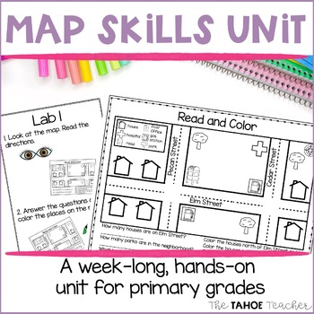
Map Skills Unit | Reading Maps Activities for Primary Grades
Get your students reading and making maps with these fun center rotations. This unit includes full lesson plans and student task cards with visual supports. It is designed to be used as a week long, centers-based exploration unit, but can also be used in whole class lessons. Monday: Build schema, read a book about maps, and set the stage for the week by creating a Me on the Map book. Tuesday-Thursday: Students will visit a series of centers, investigating maps by building maps, reading them, pla
Grades:
1st - 3rd
Types:
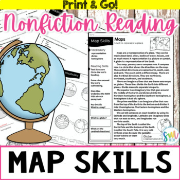
MAP AND GLOBE SKILLS Nonfiction Reading w/Activities 3rd, 4th, 5th
Your students will love learning about map and globe skills with this engaging, no prep reading activity! This is perfect for adding literacy to your social studies curriculum because it’s academically-aligned for ELA and for social studies. Plus, it’s so easy to use that you can even leave it for sub plans or homework packets!Resource Includes: Passage (Leveled for 3rd/4th grade)Label GlobesTicket out the DoorFact or OpinionMain Idea & Key Details Matching Activity Multiple Choice Activity
Subjects:
Grades:
3rd - 5th
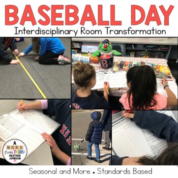
Baseball Day: Hands on Math activities, story problems, opinion writing, money
This is everything your need to have a fun and engaging Baseball Day in your own classroom. This includes math, opinion writing, geography, and more. I like to use it on the opening day of the MLB season (typically early April), but any day is fine! This bundle includes OPTIONAL hands-on math centers that involve measuring out distances equivalent to baseball field measurements and distances the ball travels. These centers can be done right in the hallways, in an all purpose room, or outside
Subjects:
Grades:
2nd - 5th
Types:
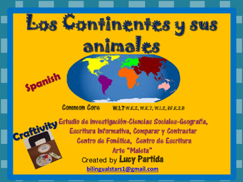
Animales de los continentes Bilingual Stars Mrs PartidaS
No Prep! Anchor Charts and everything is ready to implement in the classroom! Maps of each continent, animals for each continent, informative writing, research paper, compare and contrast, centers for
Contenido de esta mini Unidad Integrada para viajar alrededor del mundo:
Mapa de los continentes y océanos
Pasaporte para los estudiantes (dos format diferentes)
“Craftivity” Arte: maleta de viaje para guardar el pasaporte
Boleto /Pase de abordaje tres opciones
Hoja de preguntas básicas de los co
Subjects:
Grades:
PreK - 3rd
Types:
Symboles du Canada
Explore Canadian symbols! Find out what symbols are used to represent CANADA along with each province and territory!
☼ A great addition to your Social Studies program! ☼
****** This is also part of a BUNDLE! ******
If you purchased the BUNDLE, you already own this!
• Les symboles du Canada
- Explore the symbols for each province and territory. Space for writing a one or two sentence summary or reaction on each page. Add these to notebooks, create a class book or use as individual printab
Subjects:
Grades:
2nd - 4th
Also included in: Canada - French BUNDLE
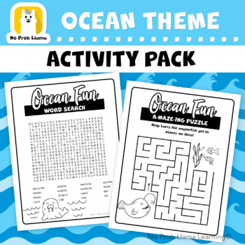
Ocean Sea Theme No Prep Early Finisher Activity Pack - Substitute Teachers
No Prep Early Finisher Worksheet Pack - Great for Substitute TeachersThis Ocean theme printable worksheet bundle is perfect for those early finishers who need additional challenges and engage them during the lesson. Great for geography or oceanic studies.As your student makes their way through these worksheets, they will learn about the ocean and its inhabitants, leading to more opportunities for exploring the subject of the oceans of our world.This is also a great no-prep resource as a substitu
Grades:
1st - 6th
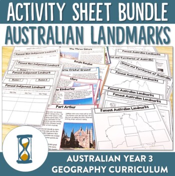
Australian Geography and Landmarks Worksheets
Engage your students in Australia's unique geographical features with these ready-to-print worksheets. Designed to compliment the Year 3 Australian HASS curriculum your students will have the opportunity to explore where Australia is in the world, identify the different States and Territories of Australia and identify various landmarks and their locations throughout Australia. Students will also be able to sort these landmarks between natural and manmade and then explore the significance of each
Subjects:
Grades:
3rd - 5th
Types:
Also included in: Australian Landmarks Worksheet and Poster Bundle
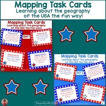
Mapping Task Cards USA Learning Geography of the United States Sets 1 & 2
This resource gives your students plenty of practice on their mapping skills!Here are 48 task cards to get students interacting with the map of the United States. The tasks include names of states, capital cities, and bodies of water. I encourage the students to work with partners for these tasks, as their conversations will help them remember the names of the places they find on the map. A map of the United States is needed for children to complete the tasks. (online maps are fine!)This set com
Subjects:
Grades:
1st - 4th
Types:
Países Hispanos Hispanic Spanish-Speaking Countries Unit
This unit introduces your students to the 21 Spanish-speaking countries around the world. Your students will learn the names of the 21 Hispanic countries, where they are located in the world, their capital cities, and their flags.Los Países Hispanos contains 93 pages with five lesson plans, 21 color posters with the flags of each country, and posters showing their location on each continent. The unit also has worksheets for students to practice matching the capital cities to the countries, color
Subjects:
Grades:
2nd - 4th
Also included in: Beginning Spanish Elementary Unit Bundle
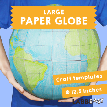
Large Paper Globe - Craft templates for making a 12.5 inch diameter paper globe
Learn how to make a large 3D paper globe with these templates. Hang with a small hook or string for a fun way to display in your classroom.How to do it:Print the templates out on heavy white printing paper and color them in. You can use an atlas as a guide. Carefully cut out all the parts. Score the edges of the glueing tabs and fold them back. Stick the first A segment to the support ring. Continue attaching the following A segments to form a hemisphere. Stick together the other hemisphere usin
Subjects:
Grades:
3rd - 8th
Types:
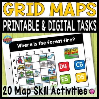
Coordinate Grid Maps Digital Map Skills PRINT and DIGITAL Geography Activities
Students will practice reading and finding locations on community maps using Coordinate Grid Maps. These map skill teaching and learning activities are fun NO PREP DIGITAL and PRINTABLE activities that give you a quick way to check for understanding after teaching how to read coordinate grid map skills. You DO NOT have to have a Boom Learning Account to use this resource!Click on PREVIEW to try this deck out on the Boom Learning Site!This Resource Includes:20 Printable TpT Easel Ready Task Cards
Grades:
2nd - 4th
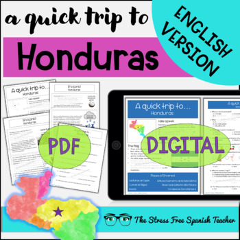
HONDURAS Reading Quick Trip country study series ENGLISH VERSION
ENGLISH VERSION. Students learn about HONDURAS with short, bite-sized readings. Four pages of quick, non-fiction readings to introduce students to interesting facts about Honduras' geography and culture. Printable, digital, bell ringers, bulletin board elements, & comprehension questions included!These nine "bite sized," short readings introduce students to interesting facts about Honduras. Teachers are enjoying using these sets as a jumping-off point for deeper conversations about each coun
Subjects:
Grades:
3rd - 11th
Also included in: Honduras ENGLISH VERSION Reading AND Color By Number BUNDLE
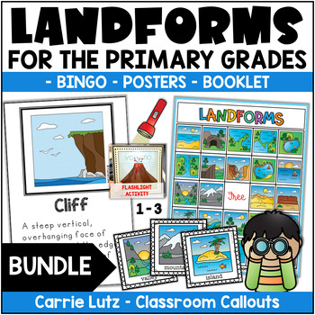
Landforms 2nd Grade | Booklet, Posters, and Bingo Activities
Kids will have a blast learning about landforms with this engaging bundle of activities! In this resource, the information is given in the form of posters, assessed with a booklet and practiced with a fun BINGO Game & magic flashlight cards. (The name of the landform magically appears when they shine the flashlight behind the card.)Here are the 26 landforms included:• bay• beach• canal• canyon• cave• cliff• delta• desert• glacier• hill• island• Isthmus• lake• mesa• mountains• oasis• ocean• p
Subjects:
Grades:
1st - 3rd
Types:
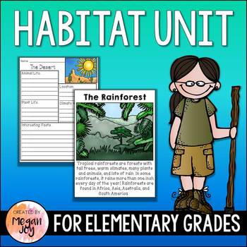
Habitat Unit
Habitat UnitIn this unit, informational articles/posters, research organizers, and writing & drawing activities guide students through researching and writing about the earth's different habitats and biomes.The following 10 habitats are included:DesertSavanna (Tropical Grassland)Arctic Tundra (Polar Region)RainforestTemperate ForestTaigaOceanMountain RangeGrasslandWetlandThe resources for each habitat include:Informational Article/PosterResearch OrganizersWriting & Drawing ActivitiesAlso
Subjects:
Grades:
1st - 6th
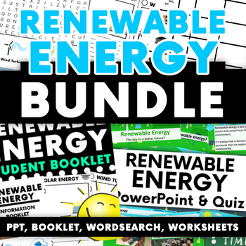
Renewable Energy Activity Bundle: PPT - Booklet - Worksheets -Word Search & More
A great bundle to use for your sustainability topic when looking at renewable energy. This pack contains a PowerPoint / quiz, research booklet, worksheets, and word search which all look at the different types of renewable energy, getting students to focus on the positives and negatives for each. PowerPoint: - Slides 1 - 4: What is renewable energy?- Slide 5 - 7: Solar energy- Slides 8 - 10: Wind energy- Slides 11 - 13: Hydro energy- Slide 14 - 16: Geothermal energy- Slides 17 – 19: Biomass Ene
Subjects:
Grades:
2nd - 6th
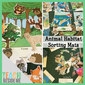
Animal Habitat Sorting Mats
This printable set has 7 different full-size habitats: Polar, Savannah, Wetlands, Ocean, Desert, Jungle, & Forest. Each set also includes 12 or more animals that live in that habitat.See more photos & details on my website: https://teachbesideme.com/animal-habitats-sorting-mats/
Subjects:
Grades:
PreK - 4th
Types:
Communities: Rural, Urban, and Suburban--Ready to Use Activities
In this unit you will find photographs of rural, urban, and suburban communities. Laminate these and have the students sort them into the correct categories. There are also labels and words to be sorted for these categories. After spending time with the photographs and words sorting them into groups and verbalizing to their group members or partner as to why each belongs in each category, then the students are ready for some individual sorting work. The same photos and words have been provided b
Grades:
1st - 3rd
Types:
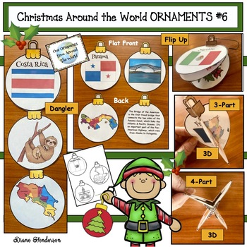
Christmas Around the World Crafts Christmas Ornaments #6 Central America
This Christmas Ornament Craft (featuring Central America) is an easy, super-fun, "print and go" activity that is perfect for your Christmas Around the World travels.Kindergarten to 3rd graders will be enthusiastically engaged!This is the 6th “Christmas Around the World Ornaments” set in the series and includes the following 7 Central American countries:BelizeCosta RicaEl SalvadorGuatemalaHondurasNicaraguaPanamaSince many teachers enjoy a bit of craftiness during December, especially with their
Grades:
K - 3rd
Types:
Also included in: Christmas Around the World Craft Christmas Ornament BUNDLE #2
Showing 1-24 of 184 results


