6,483 results
11th grade geography activity pdfs
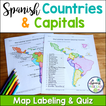
Spanish-Speaking Countries and Capitals Maps and Quiz
This is a map labeling activity and matching quiz over the 21 Spanish-speaking countries and capitals. Students will label and identify the 21 Spanish-speaking countries and capitals in Spanish. This is a great activity when reviewing Spanish-speaking countries and capitals or Spanish geography. Makes a great coloring page. Answer keys are included.
Countries included:
España, México, Costa Rica, El Salvador, Guatemala, Honduras, Nicaragua, Panamá, Cuba, La República Dominicana, Puerto Rico, Ar
Subjects:
Grades:
6th - 12th
Also included in: Spanish Countries and Capitals Geography Bundle
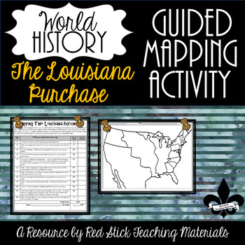
Mapping The Louisiana Purchase--No PREP!
This ready-to-use Mapping the Louisiana Purchase will give students a, 12-step guided mapping activity on the Louisiana Purchase. All students need to complete the assignment is n American History Textbook, Atlas, OR the internet. This is a great activity to leave with a substitute since it requires only a textbook, crayons, and no prep!Included is the 12-step Mapping the Louisiana Purchase handout and the time period-specific Map. The 12-step handout also serves as a grade sheet/checklist
Grades:
7th - 11th
Types:
Also included in: Guided Mapping Growing Bundle for Early American History--NO PREP!
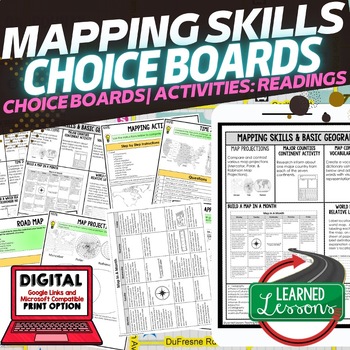
Geography Mapping Skills Activities, Geography Choice Board, Reading Passages
Mapping Skills and Basic Geography Choice Boards, Mapping Skills Readings Google Classroom, Print & Digital Learning provides differentiated activities to use with students to master the content. THIS IS ALSO PART OF SEVERAL BUNDLES World Geography MEGA BUNDLE AND World Geography Choice Board Activity BUNDLE AND Mapping Skills BUNDLE Choice Board Activities and Mapping Skills Readings Including the following: Mapping ActivityCartographerMap ScaleTypes of MapsTime ZonesRoad MapsLand and Wate
Grades:
7th - 12th
Types:
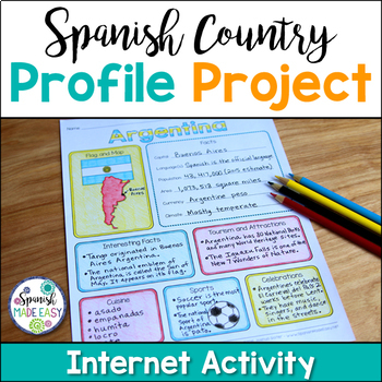
Spanish Country Profile Project
This is a country profile project over the 21 Spanish-speaking countries. Students will research important geographical and cultural facts about each country. This activity includes a blank country profile template, a template for each country, a list of Spanish-speaking countries, and a grading rubric in both English and Spanish. Research topics include: Countries flag, map, capital, language(s), population, area, currency, climate, interesting facts, tourism and attractions, cuisine, sports, a
Subjects:
Grades:
2nd - 12th
Types:
Also included in: Spanish Countries and Capitals Geography Bundle
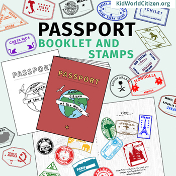
Passport Booklet & Stamps Growing Bundle: Around the World Unit, Geography Fair
These passport stamps and passport booklet are absolutely amazing!!! Perfect for an around the world unit, introduction to country studies, a Geography Fair, International Night, Social Studies Units, "Read Around the World" Passports, or Christmas Around the World (or Holidays Around the World). Save now by getting in early on this GROWING BUNDLE as we will be adding country stamps in the near future!The passport booklet is authentic, appropriate for students in any country ("Citizen of the Wor
Grades:
PreK - 12th
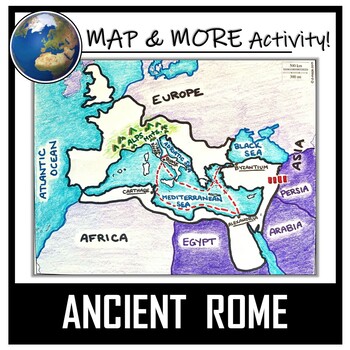
Ancient Rome Map Activity- Roman Empire (Label and Color!)
This Ancient Rome Map Coloring & Labeling Activity is a great resource to enhance your unit! Each student will make their own, personalized map of the Roman Empire, and learn about the geography and landmarks of the region. They will label and color their blank map, and answer follow-up questions related to the geography of Ancient Rome. A fun 'Make a Travel Brochure' project has also been added. It is a great way to connect this map activity to your lesson on Ancient Rome! A link to Goo
Grades:
4th - 11th
Types:
CCSS:
Also included in: Ancient Civilizations / World Maps BUNDLE- Color & Label Activities!
Geography Mapping Skills BUNDLE (World Geography Bundle), Mapping Activities
This Mapping Skills BUNDLE, Google Classroom, Print & Digital Distance Learning covers important foundational mapping skills topics such as Geography Overview, Types of Maps, Map Elements, Key Places on Maps, Latitude, Longitude, Time Zones, Climate Zones, Five Themes of Geography, & Biomes. It also includes historical thinking skills topics such as primary and secondary sources, artifacts, timelines, political cartoons, debates, push/pull factors, charts & graphs, comparing, contras
Grades:
6th - 12th
World Geography Full Curriculum, World Geography Activities, Mega Bundle Mapping
This WORLD GEOGRAPHY FULL CURRICULUM includes EVERYTHING you will need to plan for an engaging year in your SECONDARY WORLD GEOGRAPHY classroom in PRINT & GOOGLE LINKS! Buy now to save money because the price will increase as new activities are added. Each unit includes a one page digital download page where you can make copies directly to your Google Drive or to PDF. This entire bundle has been revamped and reorganized to provide better planning structure. Here is a video on how to use a
Grades:
7th - 12th
Types:
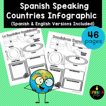
Spanish Speaking Countries Infographic (Los paises hispanohablantes)
Spanish Speaking Countries Infographic (Inforgrafica de los paises hispanohablantes) This products would be great for Spanish class, Latin American History or Spanish Heritage class, or a Spanish or Dual Immersion class. You could use an infographic about each country all throughout the school year or have students do a research project and have 1-2 students do each country and present to the class. This could also be an independent research center for grades 2-6 in the Spanish Immersion setting
Subjects:
Grades:
2nd - 12th
Types:
World Geography Curriculum
This World Geography Curriculum Bundle includes Google Slides Presentations, Guided Notes, Instructor’s Notes, Worksheets, Activities, Review Sheets, and Tests for every region of the world. The units cover physical geography, human geography, and current global issues for each region. The tests are editable and are included as a Google Doc and as a self-grading Google Form for each unit. They consist of multiple choice, matching, and some short answer questions. The worksheets and activities ar
Grades:
7th - 11th
Types:
Human Geography Whole Course MEGA Bundle
Take the stress out of teaching Human Geography with this full course MEGA bundle that contains a comprehensive collection of lessons, assignments, assessments, games, and other class materials that have you covered from day 1 until the final exam. All materials are no-prep.Materials Included:42 lessons with presentation slides, guided note worksheets (printable or ready for digital use), built-in discussion questions, and helpful speaker notes.42 assignments that correspond to the lessons, incl
Subjects:
Grades:
10th - 12th, Higher Education
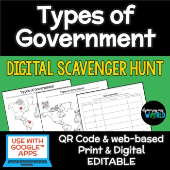
Types of Government Digital Scavenger Hunt
Take your students on an exciting global journey to discover diverse forms of government with our "Government Types Digital Scavenger Hunt." This interactive and educational resource is designed to engage learners of all ages, making it easy to adapt to various teaching styles and preferences.What's Included:Interactive World Map: A visually captivating map featuring clickable links and QR codes that transport students to countries around the world with different types of government.Government T
Subjects:
Grades:
6th - 12th
Types:
Also included in: Middle School World Cultures & Geography Course
Interactive Notebook - World Cultures and Geography
VIEW COMPANION WORKBOOK FOR THIS RESOURCE AT: http://www.teacherspayteachers.com/Product/COMPANION-WORKBOOK-for-Interactive-Notebook-World-Cultures-and-Geography-990245
This interactive notebook was created to comply with the TEKS (Texas Essential Knowledge and Skills) for 6th grade social studies. It can be used, in whole or in part, in any class where geography and world culture is taught.
This 123 page product will give you an easy to use and follow and FLEXIBLE resource to add to your le
Grades:
3rd - 12th
Types:
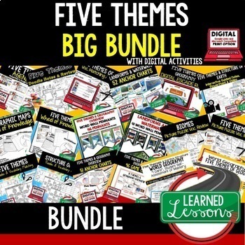
Five Themes of Geography Activity BUNDLE (World Geography Curriculum Bundle)
Five Themes of Geography BUNDLE, Google Classroom, Print & Digital Distance Learning ALSO PART OF A WORLD GEOGRAPHY MEGA BUNDLE, covers Five Themes, Spheres, Inside the Earth, Landforms and Waterways, Earth & Sun Relationships, Weather and ClimateThis bundle includes links to engaging resource in Dropbox and Google Format as well as direct PDF downloads. Sign up for email updates and follow me on TPT for updates.INCLUDES:Five Themes Unit Lesson Plan Guide for World Geography, Back To Sc
Grades:
7th - 12th
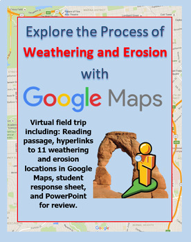
Explore Weathering and Erosion with a Google Maps Virtual Field Trip
All links verified working Feb 2024Click around this Google Maps Street View field trip to explore locations that showcase the process of weathering and erosion! This activity provides you with a link-embedded reading passage / response sheet to distribute to students. The reading gives students information about each of the following processes of weathering: mechanical (wind, moving water, glacial, ocean waves, ice wedging, organic weathering) and chemical (oxidation, carbonation, organic).Ther
Subjects:
Grades:
4th - 12th
Types:
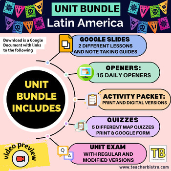
Latin America Geography Bundle (Google Slides, Activity Packet, Quizzes, Opener)
Give your students a SOLID background in the geography of Latin America.This Bundle Includes:2 Google Slides lessons with notetaking guides: Central America and the Caribbean and South America15 daily openers with student worksheetsActivity packet (print, digital, editable, and answers)Intro diagnostic activity5 Map Quizzes: The Caribbean, Central America, Central America and the Caribbean, South America, all of Latin America.Unit test: regular multiple choice, modified version with fewer choice
Subjects:
Grades:
7th - 12th
Types:
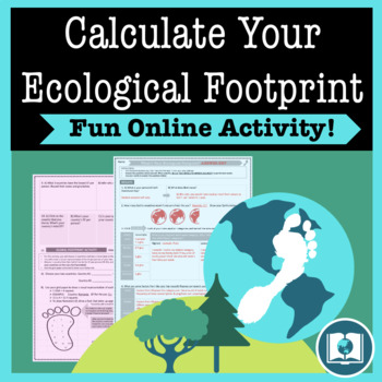
My Ecological Footprint: Fun Online Activity and Worksheet about Climate Change
Take your class to the computer lab for a fun and engaging activity! Students will use an interactive website to find out how their lifestyle determines their ecological footprint and impacts our planet. This activity is the first step in a fun lesson that spans two classes and gets your students learning about the environmental impact of the choices we make every day. This lesson fits perfectly into a unit or course about climate change, environmentalism, geography or world issues. There is lit
Subjects:
Grades:
9th - 12th
Types:
Also included in: Climate Change and Environmental Sustainability Bundle for High School
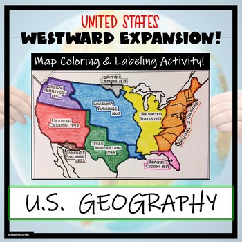
Westward Expansion Map Activity (Label and Color the Map!)
This US Geography Map Activity is a MUST for students who are learning about Westward Expansion! Students will identify, label, and color the various territories that were acquired by the United States to complete the borders that it has today. Directions for labeling and coloring are provided. A completed and colored map is provided for reference, but this map can be completed using a textbook or online resource as well. This is a creative and engaging way of supplementing lessons on geograph
Grades:
3rd - 11th
Types:
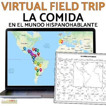
La Comida Food in Spanish Speaking Countries Activity Virtual Field Trip Lesson
Do you need a food in Spanish speaking countries lesson plan? Planning on a food truck project assessment and want to introduce your students to many different foods? This virtual field trip is perfect to kick off your unit!This version of the resource includes options! There is a version of the activity in Spanish and English! There are two interactive maps included, as well as two sets of the graphic organizer and comprehension questions. Mix and match languages to suit the needs of your stude
Subjects:
Grades:
6th - 12th
Types:
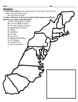
13 Colonies Map Project (8.5x11)
This project has three different differentiated levels for different levels of students, or to have them work up to... This project is set-up to print on 8.5x11 sheets of paper. In the first tier (the easiest), the students are given a map of the thirteen colonies and have to label each colony and then color the Northern/North Eastern Colonies, the Middle Colonies and the Southern Colonies different colors in a map key they create. In the second tier (medium difficulty), the students have to la
Subjects:
Grades:
3rd - 12th
Types:
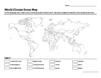
World Climate Zones Map Worksheet
This is a simple worksheet for students to color the 12 climate zones. The blank outline map of the world includes country boundaries for students' reference. There is also a legend with the 12 climate zone names listed next to blank boxes for color coding. The second page is a teacher key containing a world map with the zones colored.
If your textbook doesn't have a climate zone map for your students to use as reference, they can be found easily on the internet. A Google search of "climate zon
Subjects:
Grades:
9th - 12th
Types:
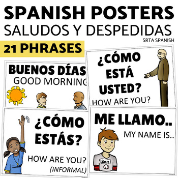
Saludos y Despedidas Classroom Bulletin Board Greetings and Farewells in Spanish
Support your students with this print and hang classroom display! This bulletin board is clear and accessible for your students, and easy for you to use!Print and hang the beautiful posters to give your students a word wall to welcome them into your Spanish classroom. Click here to save on a bundle of resources for Spanish greetings vocabulary!INCLUDED PAGES:21 vocabulary phrasesversions with and without the English supportsPrintable letters for classroom display "Saludos y despedidas"PHRASES IN
Subjects:
Grades:
7th - 11th
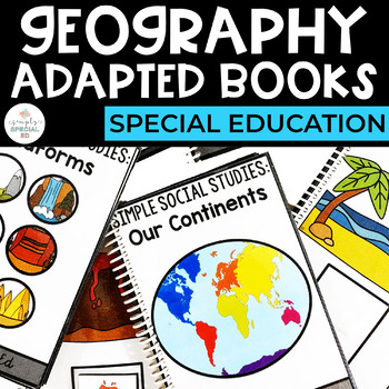
Geography Adapted Books for Special Education
Simple Social Studies: Geography Adapted Books for Special EducationThese Adapted Books are designed to directly teach basic Geography Skills to students in Special Education. Each book can be used to help students practice and generalize these important skills! WHAT TOPICS ARE INCLUDED?Our ContinentsLandformsBiomesMap SymbolsHOW DO YOU USE IT IN THE CLASSROOM? Introduce new topicsIndependent WorkReview Mastered TopicsHOW DO STUDENTS USE THEM? Use the matching pictures for non writersUse matchin
Grades:
PreK - 12th
Types:
Also included in: Geography Curriculum Bundle for Special Education
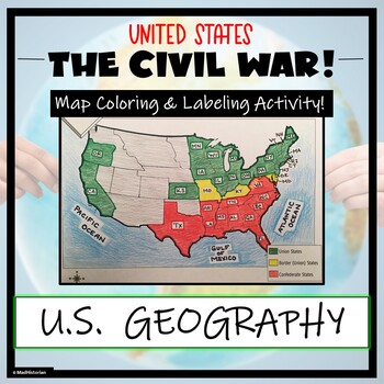
Civil War Map- Label and Color Activity!
This Civil War Map Activity is a great supplemental piece to a unit on the United States Civil War! Students will identify, label, and color the Union states, Border states, and Confederate states, and then color all three regions. Directions for labeling and coloring is provided. A completed and colored map is provided for reference, but this map can be completed using a textbook or online resource as well. This is a creative and engaging way of supplementing lessons on American History! The
Grades:
6th - 11th
Types:
CCSS:
Showing 1-24 of 6,483 results


