3,356 results
5th grade geography activities for Google Apps
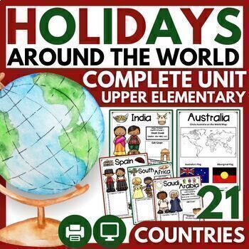
Christmas and Holidays Around the World Upper Elementary Passages, Map Skills
THE MOST COMPREHENSIVE HOLIDAYS AROUND THE WORLD UNIT WITH 21 CELEBRATIONS! ⭐ "Very engaging for my 3rd-5th graders, and perfect for the weeks leading up to Christmas break. There are so many resources here that I didn't even get to use all of them in class, but it was great because I could pick and choose what would be most meaningful for my students. I loved the research pages for students to do their own research on a country, and my students had a lot of fun with that!"⭐ 2023 BONUS: 5 HOLIDA
Grades:
3rd - 6th
Types:
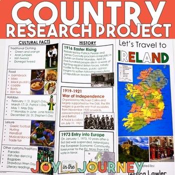
Country Research Project (Print & Digital)
Send your students on a world-wide tour with this print-and-go Country Research Travel Brochure Project! This fun and engaging project includes everything you need to assign the travel brochure, stay organized, guide the students in their research, and assess the final projectDownload includes:Brochure Sample Country Research Project Instructions“My Country Choices” – 4 per page (give one to each student)Student Country Choices Tracking SheetTravel Brochure Layout DirectionsResearch Log Student
Grades:
4th - 6th
Types:
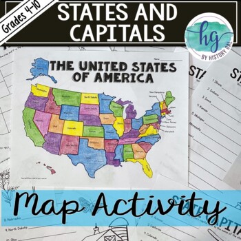
50 States and Capitals Map Activity with printable worksheets & digital map game
Do your students need to know the state capitals and the location of each state on a map? This engaging map set for the 50 states and their capitals will guide your students through labeling a blank map and learning the capitals. Print and digital options plus access to online self-checking map and flashcards let you easily customize the lesson to best fit the needs of your students. Students will label a blank map of the United States with the names of the 50 states and then record the capital
Subjects:
Grades:
4th - 10th
Types:
Also included in: American History Map Activities Bundle for U.S. History Units & Lessons
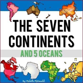
Seven Continents & Five Oceans Unit: Slide Shows, Reading, Activities, & More!
Need an easy to use comprehensive resource for the major landmasses and oceans of the world? This social studies unit is packed full of facts, features, differentiated reading passages and comprehension questions, a research 3D globe craft, a collaborative poster for your hallway display, and much more to help you bring the seven continents and five oceans to life! Find everything you need all in one place!Click the Preview to View MoreThis unit includes:Continents Facts & Features Slide Sho
Grades:
1st - 5th
Dream Vacation End of Year Project
Planning a vacation has never been so fun! In this cross-curricular project, students will plan, budget, and journal about their "dream vacation". They will pull skills from math, language arts, and social studies and work with their group members to complete the project.This is a great resource for distance learning and includes an update in which students plan their "dream vacation" for just them (not a small group). In the resource, you will find a 23-page packet to guide students while pla
Subjects:
Grades:
3rd - 6th
Types:
5 Themes of Geography Stations Activity | Five Themes of Geography Lesson
In this Five Themes of Geography stations and student activity, students analyze the five themes of geography (location, place, human-environment interaction, movement, and region) to understand how geographers study the world!This best-selling geography resource is included in the massive All Things Geography Bundle, as well as the American or the World History PLUS Curriculum!This lesson begins with students doing an introductory reading and activity on the five themes of geography. Then, stu
Grades:
5th - 9th
Types:
Virtual Field Trip to a Volcano Digital Resource Activity Types of Volcanoes
✈️ Explore a Volcano without leaving the classroom. In this Virtual Field Trip to a Volcano activity, students will travel across Earth's continents and oceans to explore several famous volcanoes. Students will learn about how volcanoes form, learn about volcanoes around the world, and explore the different types and shapes of volcanoes. This field trip to a volcano packs a lot into a fun ~45 minute activity. This volcano virtual field trip comes in Google Slides, Seesaw, and our innovative Magi
Subjects:
Grades:
2nd - 5th
Types:
NGSS:
2-ESS1-1
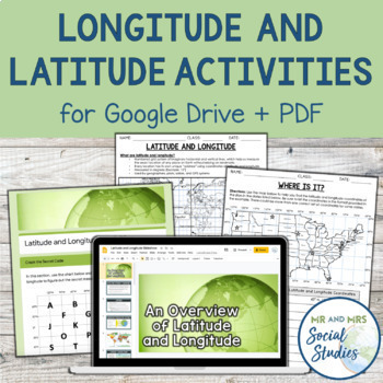
Latitude and Longitude Fun Activities and Practice Worksheet | Google Slideshow
If you are looking for a creative and no-prep resource to teach about latitude and longitude, look no further! This printable and digital activity includes an editable Google Slideshow to teach your students about latitude and longitude, and three different practice activities, giving your students the chance to decode secret messages, figure out mystery locations on a world map, and determine the coordinates of various US states.This resource goes beyond traditional longitude and latitude works
Grades:
5th - 8th
Types:
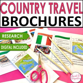
Country Travel Brochure Research Social Studies - Templates and Digital
For a great addition to any country research project, try implementing this fun Digital Country Travel Brochure activity. This digital brochure is an engaging way to learn informational text skills or for use in a presentation of country research. Their striking, professional-looking brochures will impress everyone!IN THIS RESOURCE:I've included front and back trifold Powerpoint templates. Country resource websites and graphic organizers. Editable so you can add your own headings.Students resear
Grades:
3rd - 5th
Types:
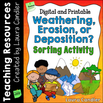
Weathering and Erosion Sorting Activity | Digital and Printable
Weathering, Erosion, and Deposition Sorting is a hands-on activity designed to help your students understand three important processes that change the earth’s surface over time. After a short introductory lesson, students will work with a partner or team to sort and classify examples of weathering, erosion, and deposition. This product includes a teacher’s guide with a step-by-step lesson plan, activity directions, illustrated sorting cards, and an answer key. Printable and Google Slides version
Subjects:
Grades:
4th - 6th
Types:
NGSS:
4-ESS2-1
Also included in: Weathering and Erosion Activity Bundle | Digital and Printable
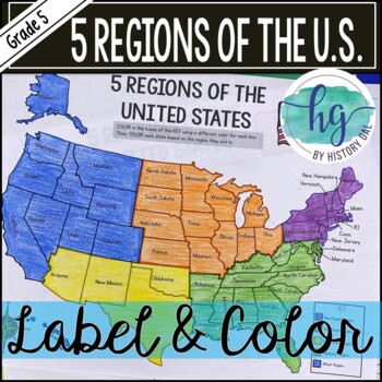
5 Regions of the United States Map Activity (Print and Digital)
Students will label and color a map to help them learn and remember the states in each of the 5 regions of the United States - Northeast, Southeast, Southwest, Midwest, and West. Since state standards vary on the region placement of Delaware and Maryland (some place them in the Northeast while others place them in the Southeast), this download now includes both variations.Version 1 (Delaware and Maryland in the Southeast):Northeast (Connecticut, Maine, Massachusetts, New Hampshire, New Jersey, N
Subjects:
Grades:
5th
Types:
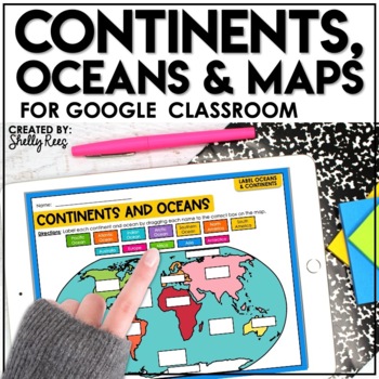
Continents and Oceans Activities for Google Classroom | Types of Maps
Are you looking for a different way to learn and reinforce Continents, Oceans, and Maps? Your students will love these easy-to-use Google Drive Activities! Students can practice and master identifying the continents and oceans of the world and also explore different types of maps by using the provided activities on Google slides. Click HERE to save 20% with the complete Maps, Continents, and Oceans Bundle!This engaging Google Drive resource includes:Continents, Oceans, and Maps Guide (a list of
Grades:
3rd - 6th
Types:
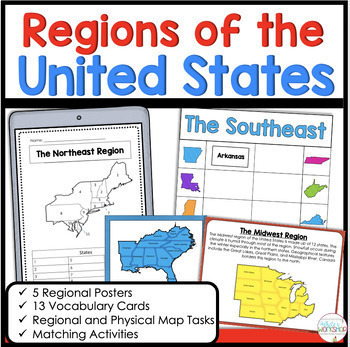
5 Regions of the United States Matching Vocabulary Map Skills Digital and Print
Use these engaging, hands-on map skills activities to teach your students about the northeast, southeast, midwest, southwest, and west regions. This product includes information about each regional, map skills, and activities that help students learn about the US Regions. Easily print and go or upload to Google Classroom!Stop spending hours searching for Social Studies resources. This activity is the perfect for the busy classroom. You can use these activities in your whole group social studi
Subjects:
Grades:
3rd - 5th
Types:
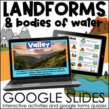
Landforms and Bodies of Water | Interactive Google Slides Activities
These slides provide the definition of common landforms and bodies of water along with real life images! The interactive slides help students practice identifying landforms and bodies of water. If your students are comfortable dragging and typing in google slides, this activity will be perfect for them! A booklet of definitions and images is included for students to use during the activity or as a study guide! *This product is included in a BUNDLEThis resource is not editable. What is included?-
Subjects:
Grades:
3rd - 5th
Types:
Also included in: Continents and Oceans & Landforms BUNDLE | Google Slides Activities
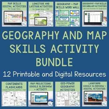
Geography + Map Skills Bundle | Maps, Continents and Oceans, Latitude Longitude
This epic bundle includes 12 different essential geography resources to help your students develop map skills and a sense of geographic awareness! The printable and digital resources in this bundle cover topics like latitude and longitude, continents, oceans, countries, map key, map projections, map distortion, landforms, and a lot more!Save over 30% by purchasing this bundle!The 12 resources included in this bundle include:Map Skills Digital Activity + Overview SlideshowLatitude and Longitude A
Grades:
5th - 8th
Virtual Field Trip Washington, DC Google Slides Digital Resource Activities
✈️ Discover & explore America's government and historical landmarks without leaving the classroom! This Virtual Field Trip to Washington, D.C. is a comprehensive digital resource for Google Slides and Seesaw. It's filled with videos, images, and texts that explore important monuments and sites along with thought-provoking exercises and activities that get kids thinking and practicing key skills.⭐️ This Virtual Field Trip to Washington, D.C. combines social studies with ELA practice through e
Subjects:
Grades:
2nd - 5th
Types:
Fun End of Year Activity - Travel Project - Plan a Trip!
This is the perfect project to do this year - especially before a break or just for fun! In this project, students will apply personal finance skills to plan a 3-day trip for themselves and a few friends. They must create a budget and plan three days' worth of food and activities. It is a whole lot of fun and they can have so much ownership and creativity. It works great to display Math, ELA, and Social Studies skills. They will have to research customs, and locations and add, multiply, and divi
Subjects:
Grades:
4th - 10th
Types:
Introduction to Maps, Map Reading, Topography, and Geography Unit
In this maps skills and introduction to map reading, map features, and basic geography, students are introduced to the common elements that all maps have and a variety of different map styles, including climate maps, political maps, physical maps, road maps, topographic maps, and economic and resource maps! ✮✮ This resource is now Google 1:1 compatible! ✮✮Students first learn about map titles, keys, the compass, and the scale, then are engaged with learning about the variety of different maps
Grades:
4th - 7th
Types:
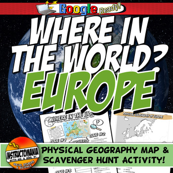
Where in the World Scavenger Hunt & Map Activity Set Physical Geography Europe
This geography activity is completely student-driven, fun, and interactive. It can be done with any textbook map or atlas with European physical geography. First, students create a physical map of Europe, labeling key features. Then, students play the Where in the World Scavenger Hunt printable clue game. Students guess the features by reading four description clues for differing geographical features of Europe. It comes with a key!What's Included:⭐ Physical map activity⭐ Scavenger Hunt Activity
Grades:
4th - 8th
Types:
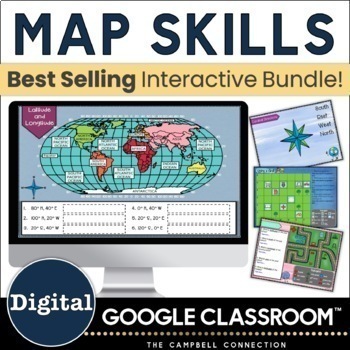
3rd 4th 5th Grade Map Skills Activities - Latitude and Longitude - Digital
Get a full unit's worth of mapping skills. These Google Slides digital map skills lessons include latitude and longitude fun activities, Mapping skills, map scales & grides, types of maps, compass rose, a digital escape room, and more! These ready-to-use map skills digital activities include 31 engaging Slides and a Google Forms digital escape room. Perfect for 3rd, 4th, 5th grade map skills. Map skills are more fun to teach when students are engaged. That is why these digital activities are
Grades:
3rd - 6th
Types:
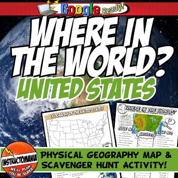
United States Where in the World Scavenger Hunt & US Map Geography Activity
This geography activity is completely student-driven, fun, and interactive. It can be done with any textbook map or atlas with the physical geography of the U.S. If this resource is not available, a map of the U.S. is included. First, students create a physical map of the U.S., labeling key features. A template is included. Then, students play the Where in the World Scavenger Hunt printable clue game. Students guess the features by reading four description clues for differing geographical featur
Grades:
4th - 8th
Types:
Latitude and Longitude Worksheet | 3 Activities for Latitude Longitude
In this latitude and longitude student activity lesson, students are taught how the geographic coordinates of longitude and latitude are used and found. Students complete THREE different activities to build their skills with understanding latitude and longitude. First, students complete a short introductory reading with a short activity focused on the purpose and basics of latitude and longitude. Next, students complete a "Which City Is Located Here" activity, where they are given geographic c
Grades:
5th - 8th
Types:
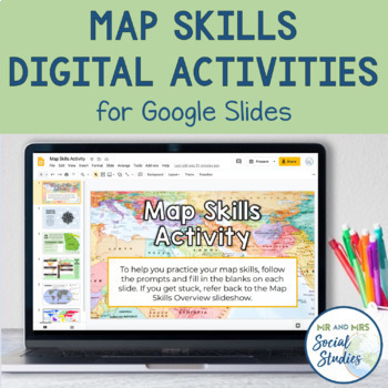
Map Skills Digital Activity and Overview Slideshow | Map Skills Middle School
If you are looking for map skills activities that you can use digitally, you are in the right place! This resource includes both a Map Skills Slideshow with information about different components of maps and a no-prep Map Skills Activity for Google Slides. All of the information is presented in an organized, colorful, and easy-to-understand way for your students.This Map Skills Google Classroom resource includes the following:Teacher Guide (PDF)Map Skills Overview Slideshow (Google Slideshow wit
Grades:
5th - 8th
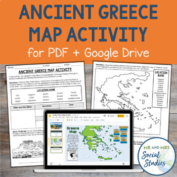
Ancient Greece Map Activity for PDF and Google Drive | Geography Activity
This printable and digital Ancient Greece Map Activity goes beyond a traditional mapping activity and involves inquiry and higher-order thinking! In this engaging geography activity, students are given a list of 15 different geographical locations from Ancient Greece, and they must first sort them into different categories. These categories include city-states, islands, mountains, and more. After students have sorted the locations, they will place them on a map, either by labeling them on the pa
Subjects:
Grades:
5th - 8th
Types:
CCSS:
Showing 1-24 of 3,356 results


