3,912 results
8th grade geography research by TpT sellers for TpT sellers
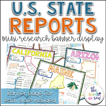
State Report Research and Banner Display Project
If you're looking for an alternative way for your students to research and report on states in the U.S., then look no further. These research banners are not only engaging and educational, they are also visually appealing and provide a great classroom/hallway display.This set includes:● 50 visually appealing state banners● 50 state banners with writing lines (and state flag)● 50 blank state banners for student creativity● Teacher lesson plan page (includes research web sites)● Student recording
Grades:
5th - 8th
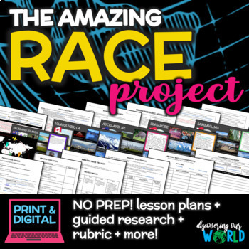
Geography Adventure: Amazing Race Project for Middle School (End-of-Year)
**Embark on an Exciting Journey Around the World with "The Amazing Race Geography Project"!** Are you ready for the ultimate adventure? Step into the shoes of a globe-trotting explorer and dive into the rich tapestry of our planet's geography, culture, and diversity! In this engaging end-of-the-year project, students will embark on a thrilling journey to explore fascinating locations from every corner of the globe. **Research, Discover, Create!** Students will choose captivating locations on
Grades:
5th - 9th
Also included in: Middle School World Cultures & Geography Course
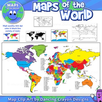
Maps of the World: Clip Art World Maps
Maps of the World: Clip Art World Maps
High quality color and black and white maps of the world.
This clipart map set contains the following commercial use graphics:
- Color maps of the world
- Black and white line art maps of the world
- Maps of the world with lines of latitude and without lines of latitude
- Maps of the world with larger countries labelled (color and black and white)
- Silhouette maps of the world
- A map of the world showing seven continents in color and black and white:
Grades:
3rd - 12th, Higher Education, Adult Education, Staff
Also included in: Maps of the World Clip Art - MEGA-BUNDLE
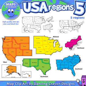
Regions of the USA: Five Regions - Map Clip Art
Regions of the USA: Five Regions - Map Clip Art
.............................................................................................
Please check the regions in this set before purchase. We offer a choice of THREE different US Region Map Sets:
USA divided into FOUR regions / NINE divisions (as set out by the United States Census Bureau)
USA divided into FOUR regions / TEN divisions (as taught in some states)
Please read on for more information about THIS region set:
............
Grades:
3rd - 12th, Staff
Also included in: Maps of the World Clip Art - MEGA-BUNDLE
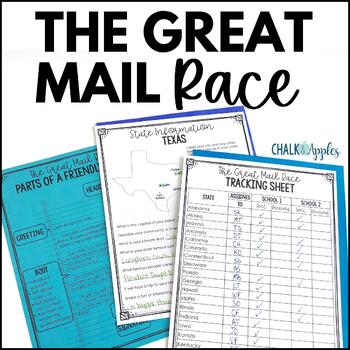
Friendly Letter Writing Paper & Template - Great Mail Race How to Write a Letter
The Great Mail Race is an excellent way for students to learn letter writing, geography, research skills, data collection, and graphing skills, and much more! Students send letters and questionnaires to schools in all 50 states. You can use the responses any way you want - mark the schools on a map, graph data from their surveys, etc. This packet has everything you need but the stamps and envelopes! Includes:Teacher instructions for the projectEditable introductory letter Class questionnaireStud
Subjects:
Grades:
2nd - 8th
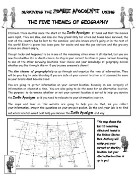
Surviving the Zombie Apocalypse using the Five Themes of Geography!
Students will use a website created for this project to analyze maps and gather information about different locations. The students will then interpret that information using the 5 Themes of Geography to decide if the locations benefit them during the Zombie Apocalypse. The students will finish off their research with a short essay explaining their choices and how the information they gathered from the maps helped them make their decision.This is a great way to get students to use their mapping
Maps of the World Clip Art - MEGA-BUNDLE
Maps of the World - MEGA-BUNDLEMEGA VALUE: Comprehensive collection of clip art maps and countries of the world - 380 images!COMPREHENSIVE:Hundreds of graphics spanning numerous countries and regions of the world. See below for the list of countries included. CONVENIENT and PRACTICAL:All the maps and world graphics you need for making teaching resources, worksheets, school projects, and more - all at your fingertips when you need them. Both color and black and white resources for all your dif
Grades:
3rd - 12th, Staff
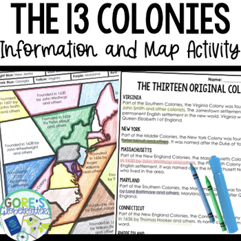
13 Colonies | Differentiated Passage and Coloring Activity for Social Studies
This differentiated resource is perfect to have on hand for your Social Studies classroom as students practice finding text evidence with information about the 13 Colonies. Get this resource and more in my Social Studies BundleTwo versions are included to differentiate for your students:Version 1 Identify the year colonies were founded/founders. They do not have to know the location of the coloniesVersion 2 The map portion is blank- they will need to know the location of the colonies as well as
Grades:
4th - 8th
Types:
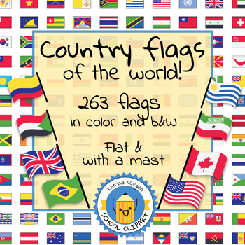
Country flags of the world: 263 Country flags - clip art bundle (1052 clips!)
Country flags of the world: 263 Country flags. HUGE clip art BUNDLE!
This clip art contains 263 flags, in 2 forms (flat and with mast) in color and black & white line art.
Contains all the flags of the countries of the world : 195 Countries.
Look at the complete list of flags by downloading the preview
A total of 1052 clips!
Included:
263 color flag (flat) clip art flag set- PNG format
263 B&W flag (flat) clip art set- PNG format
263 color flag (with mast) clip art set- PNG format
Grades:
PreK - 12th, Higher Education, Adult Education
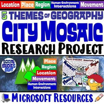
Five Themes of Geography Research Project PBL | 5 Themes City Mosaic | Microsoft
This fun project challenges students to research and showcase each of the Five Themes of Geography by creating mosaics! First, they research the Location, Place, Region, Movement, and Human-Environment Interactions of a city. Then, they design colorful mosaics with images and descriptions explaining its geography. The activity can be adapted to any location. A rubric sets clear expectations for your students and makes grading easy! Creating mosaics is a fun way to assess student learning while l
Subjects:
Grades:
5th - 12th
CCSS:
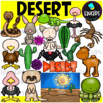
Desert Clip Art Set {Educlips Clipart}
A collection of desert and desert animal images. The graphics in this pack are: black widow spider, cactus plants, camel, desert background, desert rose, eagle, tortoise, fennec fox, gekko, jackrabbit, meerkat, ostrich, rattlesnake, scorpion, vulture, word art.38 images (19 in color and the same 19 in B&W)Images saved at 300dpi in PNG files.For personal and commercial use..Download preview for TOU.©Educlips LLC 2014Follow Educlips on FacebookFollow Educlips on InstagramKeywords: desert, biom
Grades:
PreK - 12th, Staff
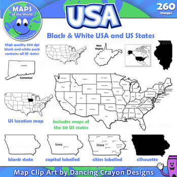
Maps of the USA and US States: Black and White Bundle
A practical set containing our black and white USA maps and US States maps.
260 images of the USA and individual US states in black and white line art. Perfect for creating worksheets and printables.
If you are looking for both color and black and white please see our USA maps bundle:
Click here for USA Map Bundle.
This clipart map set contains the following commercial use graphics:
- Black and white line art maps of all 50 US states in the following styles:
- Blank
- capi
Grades:
3rd - 12th, Staff
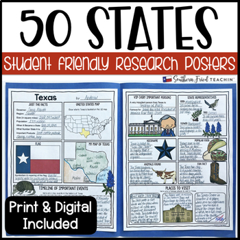
State (United States) Research Project Posters - Printable & Digital
States Research Project Posters are a fun and simple way for your students to research the states. These project posters are student friendly and help guide your students in what exactly to research. These posters are perfect for students to display their state research! And they look fabulous on a bulletin board or hallway display!This is part of my HUGE GROWING BUNDLE OF RESEARCH PROJECT POSTERS. This is includes ALL of my research project posters. Your students could become research experts a
Grades:
3rd - 8th
Types:
Also included in: GROWING BUNDLE Research Project Posters
The Amazing Race: Classroom Edition (Includes Customizable Clue Templates)
This student-driven game includes 50 pages of racing material that will take your students on a fun-filled, virtual tour of 6 continents!
The Amazing Race: Classroom Edition is a game in which multiple teams of two or three students compete in a race with one another. Teams strive to arrive first at "pit stops," located at the end of each leg, to avoid coming in last. The clues provided during each leg lead the teams to the next destination or direct them to perform a task. These tasks are perf
Subjects:
Grades:
6th - 12th
Types:
CCSS:
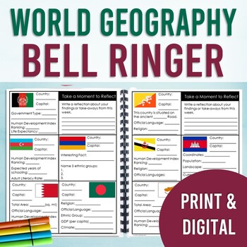
World Geography Bell Ringer: All Countries of the World (Year Long Entry Tasks)
By the end of the year, your students will have gained a broad understanding of 200+ countries, territories, and special collectives of the world. Discover facts and use the internet to research important data about a different country every day (5 days a week) with this bell ringer. This resource covers both physical and human geography. Answer keys are included.PLEASE CLICK THE PREVIEW FOR MORE INFORMATIONDigital & Print: This bell ringer includes both a print version and a digital version
Grades:
7th - 10th
Types:
CCSS:
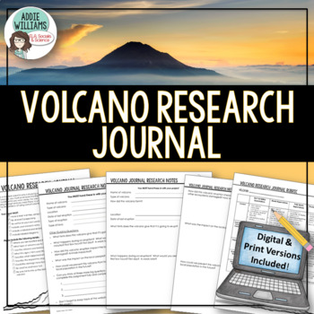
Volcano Research Journal / Volcano Project - PRINT & DIGITAL
Volcano Project - Students pretend to be a scientist studying an active volcano anywhere in the world - luckily during their research the volcano erupts. They must write a first person account of their volcano research. Includes a print (PDF) and digital (Google Slides™) version of the project for distance learning / online learning platforms. My students love the opportunity to learn and write about a volcanic eruption - I love to see what they come up with! Easy to differentiate for a varie
Subjects:
Grades:
7th - 12th
Types:
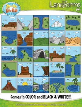
Landforms Clipart {Zip-A-Dee-Doo-Dah Designs}
Enhance your geography or science resources with these Landform clip art graphics. The images would look great on posters around your classroom. You could also use them to create task cards or a matching activity. Students would enjoy coloring the black and white versions as well!
The set includes a total of 50 images (25 Color and 25 B&W). Please see all preview images and list below for all graphics included in this set. The images are high resolution (300 DPI) which means high quality pr
Grades:
PreK - 8th
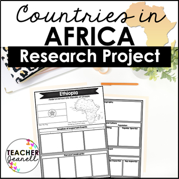
Country Research Project Posters - Africa
The Africa Research Project is the perfect tool for teachers looking for an engaging way to help their students learn about African countries. With this unique project, teachers can allow students to explore an African country of their choice in-depth, gaining a greater understanding and appreciation of its geography, population, government type, current leaders, currency, and much more.The research process has been simplified with comprehensive graphic organizers that provide structure for each
Grades:
3rd - 8th
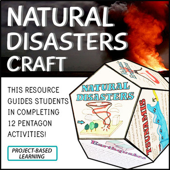
Natural Disasters Project Craft - STEM - PBL
Click here to purchase the 100% EDITABLE version of this product! Great for differentiation!Engage your students in project-based learning!Natural disasters are naturally occurring events that negatively affect a large population of people. Natural disasters can unfortunately cause loss of life, as well as property, economic and environmental damage. Although by definition, natural disasters are ‘natural’, most scientist agree that human behaviour also plays a role. Certainly, the more we unders
Subjects:
Grades:
5th - 12th
Types:
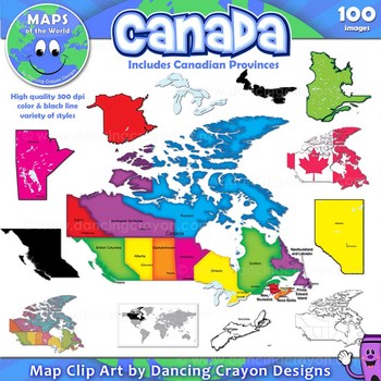
Canada: Clip Art Maps of Canada
Canada: Clip Art Maps
Map Collection: Canada
This is a large clip art set containing maps of Canada along with individual map clip art of each individual Canadian province.
This clipart map set contains the following commercial use graphics:
- Color maps of Canada and each Canadian province
- Labelled maps and blank maps (Provinces labelled with capital cities.)
- Black and white line art maps of Canada and each Canadian province
- Silhouette of the country of Canada and each Can
Grades:
3rd - 12th, Staff
Also included in: Maps of the World Clip Art - MEGA-BUNDLE
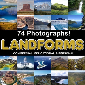
Photos Photographs LANDFORMS clip art
Photographs - Landforms. For sale are 74 beautiful, full color, high quality 300 dpi photographs for commercial, personal and educational use. No credit required to use these images, but it is always appreciated if you do! Why use clip art when you can use images of real objects? Every single image is available for you to use commercially in every one of your products. Buy with confidence! The thumbnail images are watermarked /cropped in the preview / thumbnails but the purchased photographs wil
Subjects:
Grades:
PreK - 12th, Higher Education, Adult Education
Also included in: Complete Photo Bundle
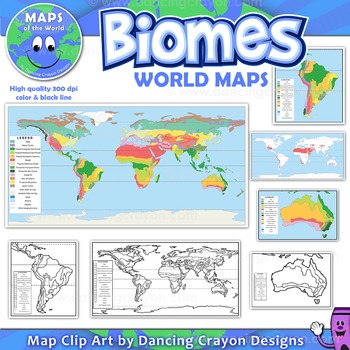
Biomes - Maps of the World and Continents Clip Art
Biomes World MapsHigh quality color and black and white maps of biome regions of the world. This clipart map set contains the following commercial use graphics:- Color maps of the world biome areas- Black and white line art maps of the world biome areas to color (with blank legend / key to also color)- Maps with and without the equator and geographic lines- Maps of continents showing biome regions- Maps of the world showing individual biome regions (for example: maps showing where the worlds tem
Grades:
3rd - 12th, Higher Education, Adult Education, Staff

World Geography Travel Agent Project
This project asks students to work both individually and with a group to develop a travel package for a fictional celebrity traveler (see Preview file). Students will research various world locations, write a persuasive paragraphs about the locations, and create a presentation to convince the traveler to select their travel package.
In addition to helping students learn more about world geography, this project is a great way to incorporate many of the Common Core ELA standards within your soc
Grades:
4th - 12th
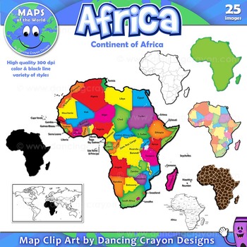
Maps of Africa: Clip Art Map Set
Maps of Africa: Clip Art Map Set
Map Collection: Africa
A colorful clip art set of maps of the African continent.
This clipart map set contains the following commercial use graphics:
- Color maps of Africa (continent)
- Black and white line art maps of Africa (continent)
- Labelled maps and blank maps
- Silhouette of the continent of Africa
- Map of the world with Africa highlighted
- Africa shapes in a variety of styles including giraffe, zebra, and tiger prints.
See pre
Grades:
3rd - 12th, Staff
Also included in: Maps of the World Clip Art - MEGA-BUNDLE
Showing 1-24 of 3,912 results


