1,530 results
Geography worksheet pdfs $5-10
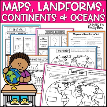
Maps & Globes Continents Oceans Map Skills Worksheet World Map Activity Landform
Interactive Notebooks are a wonderful tool for providing hands-on experiences for learners. This Maps, Continents, and Landforms Interactive Notebook is no exception! The packet is easy to use for both student and teacher. ✅ Click HERE to SAVE 20% on this resource with the Maps, Continents, and Landforms unit and poster bundle!✅ Click HERE to SAVE even more by buying ALL 15 Social Studies Interactive Notebooks and Mini Units in one Year-Long Bundle.Click on the PREVIEW button above to see all t
Grades:
3rd - 5th
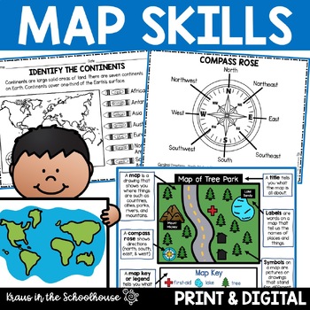
Map Skills Activities and Worksheets Maps Globes Landforms Continents & Oceans
Make learning fun for your students when teaching map skills. Map skills topics include maps, globes, continents, oceans, landforms, water forms, suburban, urban, rural, directions, and more. This resource is perfect for second, third, and fourth grade students. Digital activity included using Easel by TpT.These activities can be used during whole group instruction, independent work, and center time. Easy-to-use activity sheets with clear directions and answer keys are provided.HERE'S WHAT YOU'L
Grades:
2nd - 4th
Types:
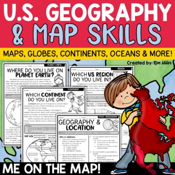
US Geography Map Skills | Maps and Globes, Continents, Oceans, Me on the Map
Do your students struggle with general map skills, their location on a map or globe, or naming our continents and oceans? This popular U.S. geography and map skills packet will help your students master these mapping skills and more with ease. Fun for students and super helpful for teachers!This United States geography and map skills resource provides an easy and fun way for students to develop a better understanding of where they live in the world, as well as key geography skills and concepts.
Subjects:
Grades:
3rd - 5th
Types:
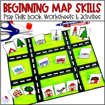
Map Skills Worksheets Book Lapbook - Reading a Map, Cardinal Directions, Compass
Are you looking for an engaging first grade map skills resource to add to your social studies curriculum? This engaging resource is what you need to teach mapping skills like cardinal directions, compass rose, and map skills. Students will love the map skills books and the hands-on build a town map. Finally, students can demonstrate their learning with the final map skills lapbook. Use this resource for:first gradesecond gradewhole class instructionsmall group instructionpartner workStudents wi
Subjects:
Grades:
K - 2nd
Types:
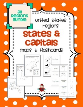
All US Regions States & Capitals Maps
Save $3 if you buy all the regions at once in this packet! Note that this product includes both MAPS and FLASHCARDS for the states & capitals of the five regions of the US.
This product contains 3 maps of each of the five regions of the United States (15 maps in all). Check out the FREE Northeast region set of maps.
• Study guide map labeled with the states and capitals (which can also be used as an answer key)
• Blank map with a word bank of the states and capitals
• Blank map without wor
Subjects:
Grades:
3rd - 5th
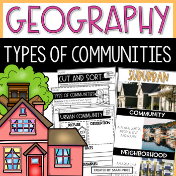
2nd & 3rd Grade Geography - Types of Communities Social Studies Activities
Teaching 2nd and 3rd grade students about the different types of communities is fun and exciting with these activities and worksheets! This social studies resource contains easy-to-follow lessons to help you teach your class about the different characteristics of communities in the U.S. Cover a variety of geography topics as your students will learn about the population, transportation, and homes in urban, suburban, and rural communities. This product includes lesson plans, foldables, activities
Subjects:
Grades:
2nd - 3rd
Types:
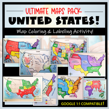
U.S. Maps & Geography- The Ultimate Label & Color Maps Pack! (American History)
This United States Ultimate Maps & Geography Pack includes eight different maps for your American History student explorers- Political Map, Physical Map, Native American Cultural Regions, 13 Colonies, Westward Expansion, 5 Regions, Civil War, and a World Map. These labeling and coloring activities are interactive, engaging, and ready to use- just print and copy! A Teacher’s Guide is provided, as well as options for use to fit your curriculum/lesson. You will also receive a completed, col
Grades:
3rd - 10th
Types:
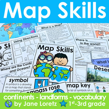
Map Skills 2nd grade 3rd grade worksheets, continents, vocabulary, landforms
This unit has everything you need for a great unit to teach map skills, vocabulary, continents, and landforms. This unit was written and used with first, second and third graders.What is included….MAP SKILLS-A 12 page no prep packet to help your students understand basic map skills. A cover is included so all you need to do is copy and staple. This pack would be great for distance learning, easy enough so students can do this independently. This pack includes these concepts…-What is a globe?-Wh
Subjects:
Grades:
1st - 3rd
Types:
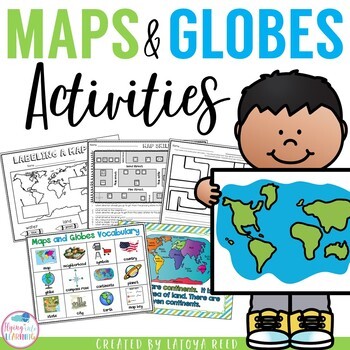
Maps and Globes
Maps and GlobesThis is the perfect unit for your teaching on Maps, Globes, and Where We Live. I have packed some great resources in this unit!!!You will get a 2 PAGE FREEBIE when you download the preview!!!Download the preview to see every page in the unit!!!!Table of ContentsPg. 2-13 Posters for teaching and vocabularyPg. 14 Vocabulary ChartPg. 15-18 word wall cards, write the room cards, etcPg 19 write the room recording sheetPg 20 What is a Globe? Mini bookPg 21 What is a map? Mini bookPg 2
Grades:
K - 2nd
Types:
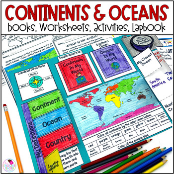
Continents and Oceans 1st & 2nd Grade Social Studies 3D Map, Lapbook, Worksheets
Do you need an engaging social studies resource to teach your students about the seven continents and five oceans? This easy-to-use resource includes everything you need to help your students learn about the world's continents and oceans.A variety of activities will keep your students engaged. These include vocabulary cards, books, worksheets, a 3D student map, a mapping lapbook, and a writing activity.This resource is part of a money-saving BUNDLE. Click to save 20% by purchasing the BUNDLE.Use
Subjects:
Grades:
K - 2nd
Types:
Grade 4, Unit 2: Political and Physical Regions of Canada (Ontario Social Stu.)
The "Political and Physical Regions of Canada" activity packet is aligned with the Grade 4 Social Studies curriculum expectations. This activity packet includes 3 lines of inquiry for students to complete. Through these inquiry assignments students practice gathering, organizing, interpreting/analyzing and presenting information on the political and physical regions of Canada. This packet covers all 8 physical regions and the 13 provinces/territories in Canada. This activity packet is meant to s
Grades:
4th
Types:
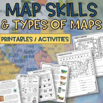
Map skills and Types of Maps Printables & Activities Pack
Map Skills and Types of Maps Unit: All the worksheets and activities you will need to help teach the subject. Answer Keys are included. What comes with this download: (take a look at the preview for greater detail!)· Types of Maps Reading Passage and Comprehension Questions · Elements of a map Reading Passage and Comprehension Questions · Using a Compass Rose Worksheet · United States map filled in and empty · Cut and Paste Types of Maps · Using a map key activity · Map skills activity · Coordin
Subjects:
Grades:
3rd - 5th
Types:
Grade 2 Social Studies Ontario Global Communities 2023
This package includes:Shared reading passages, Easy-to-follow worksheets, Differentiated tasks (Low and High), Unit Quiz, Unit Review Tests, Answer Key, All expectations in "People and Environments" Strand covered, Includes 3 Formats:1. PDF Download:Download PDF and photocopy worksheets2. TPT EASEL Activity:EASEL FAQEASEL Tutorial3. Google Slides:Download PDF and click on the link at the bottom of the contents pageMake your own copy of the Google Slides when promptedBased on the Ontario Curricul
Grades:
2nd
Types:
Also included in: Grade 2 Ontario Social Studies Bundle 2023
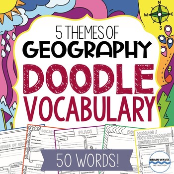
Geography Vocabulary Doodle Vocabulary for the 5 Themes of Geography - 50 words!
This Doodle Vocabulary resource will introduce your students to 50 words associated with geography. Students will not only learn the new vocabulary words associated with the 5 Themes of Geography, they’ll also showcase their learning with doodles!You can use this resource in a variety of ways! You might:Create a single packet filled with the doodle vocabulary pages that students can reference all year long.Select specific pages that relate to particular units that students are studying and highl
Grades:
4th - 7th
Types:
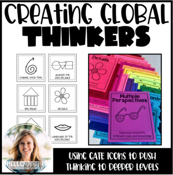
Creating Global Thinkers with Depth and Complexity Icons
Do you want your students learning globally, using higher level thinking, and learning geography... all in twenty minutes a day? I did too so I created this easy way to challenge your students from the moment they walk in the door.This product is easy to print and can be seamlessly implemented into your morning routine. It is recommended that you use the icons of depth and complexity (included) to push and extend student thinking.Included in this product:-Explanation, sample lesson plan, real
Subjects:
Grades:
3rd - 6th
Types:
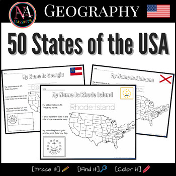
50 States of the USA Activity Bundle (Map and Flags)
Try it on EASEL! This resource includes a ready-to-use interactive activity students can complete on any device. This “50 States of the USA” activity includes fun worksheets for all 50 states, including Washington DC. Each activity aims to build and strengthen the following skillsets for Pre-K thru 1st Grade students.1. Trace it—Penmanship.2. Find it—Critical thinking and problem-solving.3. Color it—Creativity and fine motor skills. The activities also help familiarize young students with the US
Subjects:
Grades:
PreK - 2nd
Types:
Also included in: USA State Symbols and Maps MEGA Bundle | Geography
Geography Unit for Special Education
Make geography concepts accessible to all learners with this comprehensive unit tailored for special education teachers and parents of autistic students. Designed for easy understanding, the visually-based resources include multiple versions of each activity, ensuring differentiation for various learning styles. The unit features engaging games, printables, flashcards, and an adapted book, making geography an enjoyable social studies theme in your classroom. The extensive content includes flashc
Subjects:
Grades:
K - 2nd
Interactive Notebook - World Cultures and Geography
VIEW COMPANION WORKBOOK FOR THIS RESOURCE AT: http://www.teacherspayteachers.com/Product/COMPANION-WORKBOOK-for-Interactive-Notebook-World-Cultures-and-Geography-990245
This interactive notebook was created to comply with the TEKS (Texas Essential Knowledge and Skills) for 6th grade social studies. It can be used, in whole or in part, in any class where geography and world culture is taught.
This 123 page product will give you an easy to use and follow and FLEXIBLE resource to add to your le
Grades:
3rd - 12th
Types:
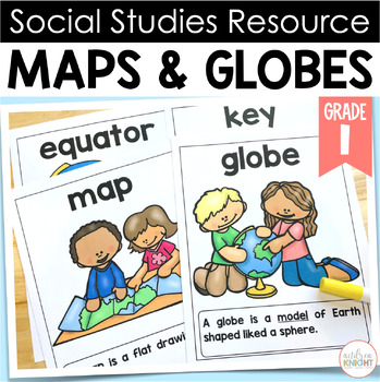
Maps and Globes - Worksheets, Posters, & Projects for First Grade Social Studies
MAPS AND GLOBES - Social Studies Resource for 1st Grade TeachersThis set of materials is a great supplemental pack of resources for your instruction on MAPS & GLOBES. Click on the PREVIEW above to see sample pages from the set.THIS PACKET INCLUDES: • 12 vocabulary posters explaining key terms:atlasbird's eye viewcompass roseequatorglobekeylandmarkhuman featuremapphysical featureroutesymbol• Multiple student learning sheets prompting students to:complete a K-W-L chartlabel and color a globe
Grades:
1st
Types:
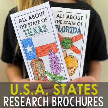
USA States Research Report Activity Projects | United States Regions Worksheets
These (50) 2-sided brochure projects are packed with information for students to research. This activity can be completed in a few different ways. You can provide your students with the information to fill out their brochures, or have them find the information through Internet research. If your students are inexperienced with Internet research, guide them through the process by projecting a search that you lead. Ducksters.com and Britannica.com are two of my favorite places for students to resea
Grades:
3rd - 6th
Types:
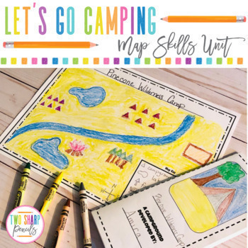
Geography Map Skills | Drawing a Map | Physical vs Political Maps | Grid Maps
If you're tired of boring map skills worksheets, this is a resource you've been looking for! In this unit, students will practice important directional skills such as: cardinal directions, reading a map, reading a map key, drawing a map, political maps vs physical maps, reading a grid map and drawing symbols on a grid map all while having fun, staying engaged, and being creative.This is the PRINTABLE VERSION, the DIGITAL VERSION is available here.This unit includes:•Camping Directions- students
Subjects:
Grades:
2nd - 4th
Types:
Also included in: Geography Map Skills | Physical vs Political Maps Bundle | Grid Maps
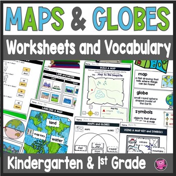
Maps and Globes Worksheets - 1st Grade Map Skills - Kindergarten Mapping Skills
Introduce and teach kindergarten and first grade students all about Maps and Globes, Cardinal Directions, Landforms, and Bodies of Water using this fun and engaging geography unit! These map skills worksheets cover landforms, oceans, relative directions, maps, globes, map keys and symbols, compass rose, Venn Diagrams, 24 geography words, and let your students design their own maps. These maps and globes activities are designed to use with ANY social studies curriculum!Students will practice, cre
Grades:
K - 1st
CCSS:
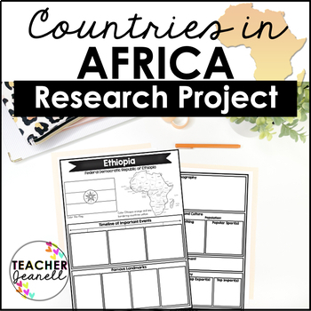
Country Research Project Posters - Africa
The Africa Research Project is the perfect tool for teachers looking for an engaging way to help their students learn about African countries. With this unique project, teachers can allow students to explore an African country of their choice in-depth, gaining a greater understanding and appreciation of its geography, population, government type, current leaders, currency, and much more.The research process has been simplified with comprehensive graphic organizers that provide structure for each
Grades:
3rd - 8th
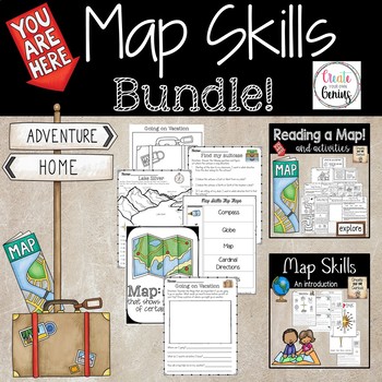
Map Skills Bundle Distance Learning
~My number 1 best seller with bundled resources~!!Task Cards! Worksheets! Maps! Interactive notebooks! Posters! Answer Keys!This pack has it all for you and your students.-Posters with graphics, interactive notebook cut and paste! Notes for students or handouts-Read the map of Silver Lake and answer the questions that follow.-Find my suitcase activity for the class-Students visit the Zoo and answer questions about the animals and how to move about the zoo.-Emily Moves to a New city! Answer quest
Grades:
1st - 5th
Types:
Showing 1-24 of 1,530 results


