19,749 results
5th grade geography worksheets under $5
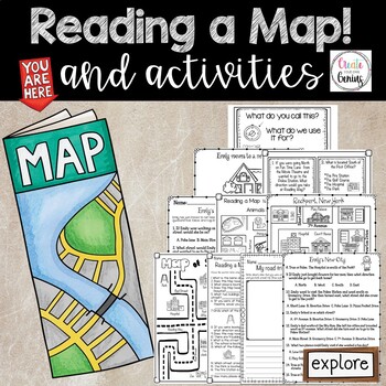
Map Skills- Reading a Map and Activities
✅⭐️Are you studying maps in your primary classroom? If so, then you will love this all inclusive NO PREP set! Not only does it go over cardinal directions and how to read a map, it also reviews parts of a map such as the map key, title, and compass rose. It is a perfect lesson to include in your social studies geography unit!⭐Please know that this resource is a PDF. It is great for distance learning if you are sending home packets or are able to transfer it to Google Slides™ to use in Google Cla
Subjects:
Grades:
K - 5th
Types:
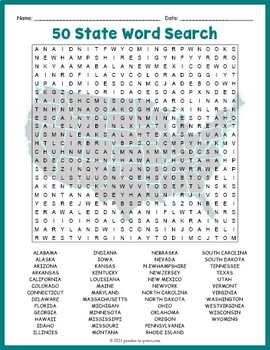
USA GEOGRAPHY Worksheet Activity - All 50 (Fifty) US States Word Search Puzzle
Review United States geography and have your students search for all 50 members of the Union with this challenging worksheet activity. Word search puzzles make great no prep activities for early finishers, bell ringers, morning work, handouts, homework, lesson plan supplements, sponge activities, introductions to new topics, and sub files.We consider this to be a challenging puzzle and it will require quite a bit of time to complete. Students will memorize the names of all fifty states withou
Subjects:
Grades:
4th - 7th
Types:
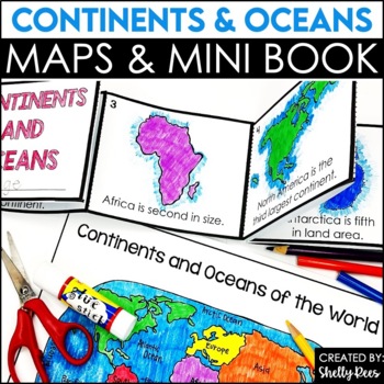
Label Continents and Oceans Activities | Blank World Map Printable 7 Continents
Students LOVE learning about the Continents and Oceans of the World with these fun hands-on activities, including a 7 continents mini-book, blank world map, coloring pages, and even a label continents and oceans quiz. This NO PREP packet is easy for teachers and engaging and hands-on for students!Please click on the preview button above to take a look at everything included.This resource includes:7 Continents Mini-BookColoring Pages/Posters of Each ContinentBlank World MapLabeled World MapPost-U
Subjects:
Grades:
2nd - 5th
Types:
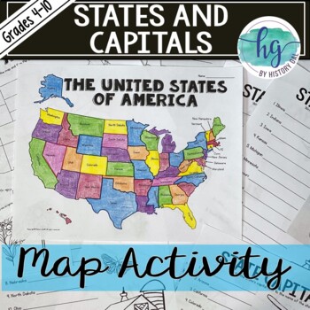
50 States and Capitals Map Activity with printable worksheets & digital map game
Do your students need to know the state capitals and the location of each state on a map? This engaging map set for the 50 states and their capitals will guide your students through labeling a blank map and learning the capitals. Print and digital options plus access to online self-checking map and flashcards let you easily customize the lesson to best fit the needs of your students. Students will label a blank map of the United States with the names of the 50 states and then record the capital
Subjects:
Grades:
4th - 10th
Types:
Also included in: American History Map Activities Bundle for U.S. History Units & Lessons
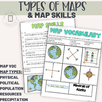
Types of Maps and Map Skills Pack | Social Studies grades 2-5 | Back to School
This packet of worksheets is a great introduction to map skills as reading a variety of maps! Students will learn to read a Population map, precipitation map, political map, natural resource map, and a physical map. Perfect for a back to school review!Worksheets included:Map Vocabulary Matching WorksheetMap Skills Fill in the BlankPhysical MapPopulation MapPolitical MapNatural Resource MapPrecipitation MapAnswer KeyIf you are looking for an interactive digital version of this product using googl
Subjects:
Grades:
3rd - 5th
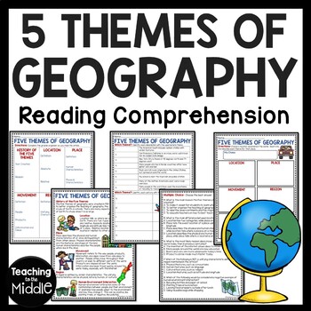
Five Themes of Geography Reading Comprehension Worksheet and Activities
Several Social Studies' Pacing Guides call for review or teaching of the Five Themes of Geography. I found that even though my students had seen this information in the past, they were still confused about some of the differences. This product gives students an informational passage (800-900 Lexile Level) on the history of the themes and a brief description of each. A graphic organizer is provided for students to complete while reading the passage. This can be done as whole group instruction,
Subjects:
Grades:
4th - 7th
Types:
Also included in: Social Studies MEGA Reading Comprehension Bundle For Buyer
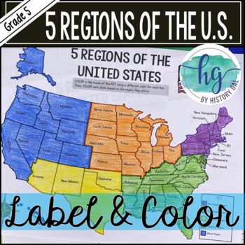
5 Regions of the United States Map Activity (Print and Digital)
Students will label and color a map to help them learn and remember the states in each of the 5 regions of the United States - Northeast, Southeast, Southwest, Midwest, and West. Since state standards vary on the region placement of Delaware and Maryland (some place them in the Northeast while others place them in the Southeast), this download now includes both variations.Version 1 (Delaware and Maryland in the Southeast):Northeast (Connecticut, Maine, Massachusetts, New Hampshire, New Jersey, N
Subjects:
Grades:
5th
Types:
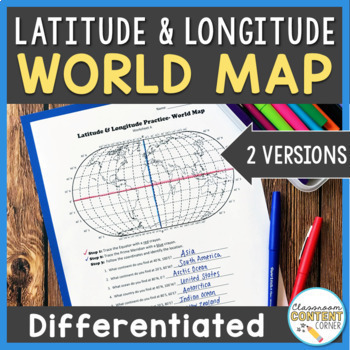
Latitude and Longitude Worksheet | Differentiated Activity | World Map
Do your students find latitude and longitude confusing? This resource will help make teaching this tricky skill a piece of cake! And, this resource comes with two differentiated versions to meet your students needs. Worksheet A has no labels, so students can practice identifying continents, oceans, and 2 (easily identifiable) countries as they follow the Latitude and Longitude coordinates! Worksheet B is similar, and perfect for ELL's or struggling learners! The map on this version is labeled, s
Subjects:
Grades:
4th - 8th
Types:
Also included in: Latitude and Longitude ACTIVITY BUNDLE!
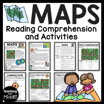
Map Skills Reading Comprehension Worksheets and Activities
Need to briefly explain or review map skills with your students? This product provides several activities to accomplish this. The PDF file includes: map overview reading passage with 15 comprehension questions (types of maps identification and term identification), grid coordinates practice, compass rose review, Which Direction?, and Types of Maps (8 questions). I use this at the beginning of the school year to review map skills with my students. I've provided a color and black and white vers
Grades:
4th - 7th
Types:
Also included in: Social Studies MEGA Reading Comprehension Bundle For Buyer
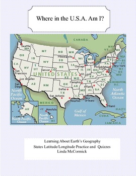
Latitude and Longitude Worksheets and Quizzes - U.S.A. Geography
This collection of worksheets and a printable map provide excellent lessons for learning latitude and longitude. • This package contains 9 pages. • A printable map with the necessary information to answer the questions regarding latitude and longitude.• Includes practice and two quizzes in the “Where Am I” format•Answer KeyThis lesson is google classroom ready.Please e-mail me with any questions about this resource or suggestions for future resources at: ljmccormick33@yahoo.com. If you are diss
Subjects:
Grades:
5th - 9th
Types:
Also included in: U.S.A. Geography- Bundle
My Place in the World Project: "Me on the Map" Geography for Kids
This hands-on geography project "My Place in the World" has kids create a visual representation of how we fit into the world. Teachers often use it with the kids' geography book "Me on the Map," by Joan Sweeney. Ideal for integrated Social Studies, ELA, Geography, Literacy, and Map Skills.Using a series of nesting circles to show the relative sizes of different geographic places, this simple but effective geography lesson helps kids sort out their relation to one another. This activity includes
Grades:
K - 5th
Also included in: Geography for Kids Bundle: Three Essential Hands-on Activities
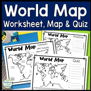
World Map: World Map Quiz (Test) and Map Worksheet | 7 Continents and 5 Oceans
Map of the World Test: Easy-to-read World Map Quiz requires students to locate 7 Continents and 5 Oceans. This resource also includes a world map printable for kids to practice learning the map of the world. Students must label continents and oceans: 7 Continents (Asia, Africa, North America, South America, Antarctica, Australia & Europe) and 5 Oceans (Atlantic, Pacific, Indian, Arctic & Southern). This is an ideal continents and oceans activities for 1st grade, 2nd grade, 3rd grade, 4th
Grades:
2nd - 6th
Types:
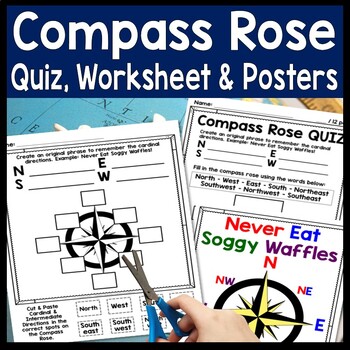
Compass Rose Worksheet, Quiz Test & Posters: Cardinal Intermediate Directions
Compass Rose Quiz, Posters & Practice Sheet Activities for Teaching Cardinal & Ordinal Directions. Students will enjoy practicing cardinal and intermediate directions with these Compass Rose Posters, Cut-and-Paste Compass Rose Worksheet printable and coordinating Compass Rose Quiz. Students must also create an original phrase to remember the directions, i.e. Never Eat Soggy Waffles! Teaching map skills? Need to review a compass rose for kids? Confused by north, east, south, & wes
Grades:
2nd - 6th
Types:
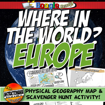
Where in the World Scavenger Hunt & Map Activity Set Physical Geography Europe
This geography activity is completely student-driven, fun, and interactive. It can be done with any textbook map or atlas with European physical geography. First, students create a physical map of Europe, labeling key features. Then, students play the Where in the World Scavenger Hunt printable clue game. Students guess the features by reading four description clues for differing geographical features of Europe. It comes with a key!What's Included:⭐ Physical map activity⭐ Scavenger Hunt Activity
Grades:
4th - 8th
Types:
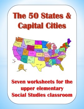
50 States and Capital Cities Worksheets for Upper Elementary Students
These worksheets are good tools for teaching students about the fifty states and their capital cities. In this packet, you will find the following worksheets and visual aids:
(1) State Capitals – Students must find all 50 state capitals and write them down on the blanks provided.
(2) The 50 States & Their Capitals – Students must write down the name of each state on the blanks provided.
(3) State Abbreviations – Teach students the proper postal abbreviations for all 50 states.
(4) State Nick
Grades:
3rd - 6th
Types:
Also included in: Creative Geography Assignments Bundle about the United States of America
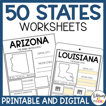
50 States Worksheets | Activities | Printable & Digital | Google Classroom
Printable and Digital 50 States Worksheets! Everything you need for students to research the 50 states is included! Each state worksheet is designed for students to research and complete independently. The extra research pages provide added rigor for those students wanting a challenge. The bibliography template requires students to document their sources when completing their research. Finally, the grading rubric provides students with clear assignment expectations. Printable PDF and Google D
Grades:
3rd - 6th
Types:
Geography: Map Skill Cardinal Directions Worksheets:
Geography: Map Skill Cardinal Directions Worksheets:Following worksheets are included:1 directions worksheet.2 compass rose worksheets.3 worksheets..... My bedroom.3 worksheets..... My Neighborhood.3 worksheets...... My Classroom.2 worksheets....... My City.1 worksheet.....Grandma's FarmAssessment worksheets and answer keys are also included.Note: Kindly give me positive 5 stars rating. Thankyou!Kindly check my other Geography products :<a herf=”https://www.teacherspayteachers.com/Product/Geo
Subjects:
Grades:
K - 5th
Types:

Geography of Mesopotamia Map Activity l Physical World Worksheet Scavenger Hunt
Where in the World Geography Scavenger Hunt Activity with worksheet.The physical map of ancient Mesopotamia, where students complete a scavenger hunt. Highly rated and reviewed! Explore the captivating geography of Ancient Mesopotamia through this engaging and student-driven activity that combines fun with interactive learning. Your students will embark on a journey of discovery as they uncover the essential geographical elements of this ancient civilization. Here's how the adventure unfolds:Map
Grades:
4th - 8th
Types:
CCSS:
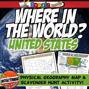
United States Where in the World Scavenger Hunt & US Map Geography Activity
This geography activity is completely student-driven, fun, and interactive. It can be done with any textbook map or atlas with the physical geography of the U.S. If this resource is not available, a map of the U.S. is included. First, students create a physical map of the U.S., labeling key features. A template is included. Then, students play the Where in the World Scavenger Hunt printable clue game. Students guess the features by reading four description clues for differing geographical featur
Grades:
4th - 8th
Types:
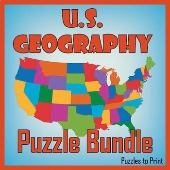
No Prep US Geography - Regions of the USA Word Search & Map Worksheet BUNDLE
Use this bundle of fun puzzles to help students learn the names and locations of all fifty states. Each US geography worksheet concentrates on one of five regions and includes three activities. First students must unscramble the names, then place them on the map, and finally find them in a word search.We've divided the states into the five following regions: ✔ Western ✔ Mid-Western ✔ North Central ✔ North Eastern ✔ South EasternUse these worksheets to review US geography with th
Subjects:
Grades:
4th - 7th
Types:
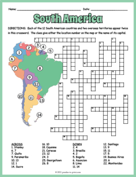
SOUTH AMERICA GEOGRAPHY Crossword Puzzle & Map Worksheet Activity
Help students review and learn the names, locations and capitals of the 12 South American countries and two overseas territories with this crossword worksheet. Each location's name appears twice in the puzzle. The clues give either the location's number as noted on the included map or the name of its capital. Crossword puzzles make great no prep activities for early finishers, bell ringers, morning work, handouts, homework, lesson plan supplements, sponge activities, introductions to new topi
Subjects:
Grades:
4th - 7th
Types:
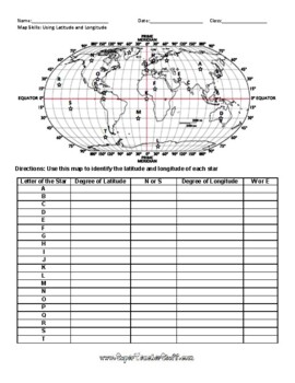
Latitude and Longitude Worksheet & Answer Key
This worksheet is an awesome way to teach Latitude and Longitude. The way that it is structured reinforces that Latitude measures North and South of the Equator, and that Longitude measures East and West of the Prime Meridian. This worksheet features a World Map with an Answer Key.
Subjects:
Grades:
3rd - 12th, Higher Education, Adult Education
Types:
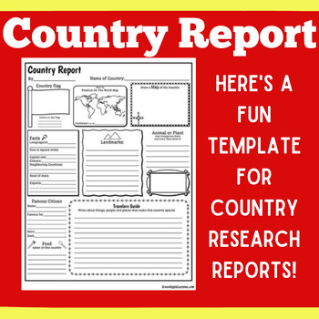
COUNTRY RESEARCH REPORT Template Project Projects | 1st 2nd 3rd 4th 5th Grade
COUNTRY RESEARCH REPORT Template Project Projects | 1st 2nd 3rd 4th 5th GradeYour students will love this country research report template! Perfect for your students to use as they research and write about a different country. This country research graphic organizer template helps them to organize their facts and information in a clear and concise way!❤ CLICK HERE TO FOLLOW GREEN APPLE LESSONS!
Subjects:
Grades:
1st - 5th
Also included in: GRAPHIC ORGANIZER ORGANIZERS Report Project Template BUNDLE
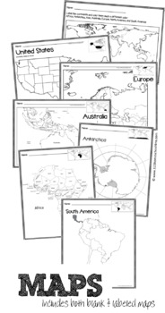
Full Page Maps of the World / Continents
Included are 19 pages of full page maps:
- color the continents
- label the continents
- Africa (labeled & plain)
- Antarctica (labeled & plain)
- Asia (labeled and plain)
- Australia (labeled & plain)
- Europe (labeled and plain)
- North America (labeled and plain)
- South America (labeled & plain)
- United States (labeled & plain)
Subjects:
Grades:
K - 6th
Types:
Showing 1-24 of 19,749 results


