3,316 results
1st grade geography worksheets under $5
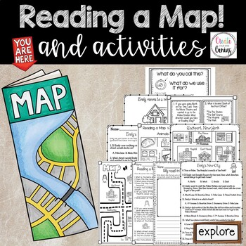
Map Skills- Reading a Map and Activities
✅⭐️Are you studying maps in your primary classroom? If so, then you will love this all inclusive NO PREP set! Not only does it go over cardinal directions and how to read a map, it also reviews parts of a map such as the map key, title, and compass rose. It is a perfect lesson to include in your social studies geography unit!⭐Please know that this resource is a PDF. It is great for distance learning if you are sending home packets or are able to transfer it to Google Slides™ to use in Google Cla
Subjects:
Grades:
K - 5th
Types:
Geography: Map Skill Cardinal Directions Worksheets:
Geography: Map Skill Cardinal Directions Worksheets:Following worksheets are included:1 directions worksheet.2 compass rose worksheets.3 worksheets..... My bedroom.3 worksheets..... My Neighborhood.3 worksheets...... My Classroom.2 worksheets....... My City.1 worksheet.....Grandma's FarmAssessment worksheets and answer keys are also included.Note: Kindly give me positive 5 stars rating. Thankyou!Kindly check my other Geography products :<a herf=”https://www.teacherspayteachers.com/Product/Geo
Subjects:
Grades:
K - 5th
Types:
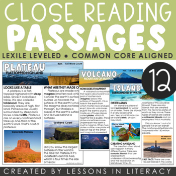
Landforms Close Reading
***For a Goggle Classroom version of this product, click here!Close Reading: Landforms- This 66 page product contains 12 landform-themed nonfiction close reading passages with evidence-based questioning sheets to go with each. Each landform has a cover page with a definition, close reading article in color + black/white, and comprehension sheet. Great to use as a whole group lesson or in small group reading. The articles are about the following topics:-plateau-plains-mountain-coast-canyon-valley
Subjects:
Grades:
1st - 4th
MAPS - How to Use a Map - Mapping Unit for Kindergarten and First Grade
Teach your students all about maps with this adorable, hands-on unit. We learn about using directional words with a compass rose, how to use map grids (find square A2, C3, etc.) how to make your own map, where we live on the map, how to find specific places on town maps and more! THESE MAP ACTIVITIES ARE INCLUDED IN MY ALL ABOUT EARTH UNITPlease do not purchase this listing if you already own Unit 8 All About Earth.--------------------------------------------------------------------------------
Grades:
K - 2nd
Types:
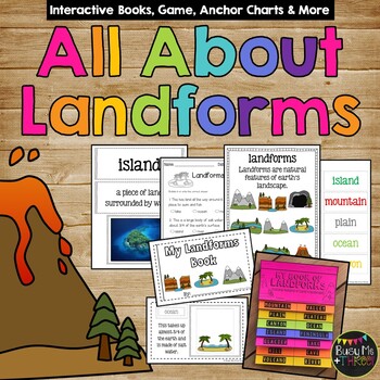
Landforms and Bodies of Water Interactive Books Posters Game and Worksheets
This ALL you will need to teach your students about landforms! This set has posters, a game, interactive booklets & flip books, a test & more!! Real photos and clip art versions are available for all. I love to get the students engaged instead of just having them copy down words, and this set is perfect for that! My All About Landforms Books are great for end of the year 1st graders, 2nd graders, and even 3rd grade. Check out the preview for a better look of all that is included!⭐Save $$
Subjects:
Grades:
1st - 3rd
Types:
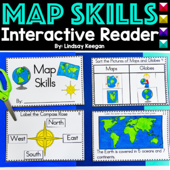
Map Skills Interactive Reader for Maps, Globes, Directions and more
These map skills worksheets are so much fun for young learners. Use this interactive mini-reader to help reinforce your student's understanding of maps, globes, cardinal directions, land, water and more!This map skills book can be used across several lessons and is perfect for whole group, small group or center activities.Each page has information about map skills and tasks for students to complete to help them show their understanding of the topic.Map Skills included in this interactive reader
Grades:
K - 2nd
Types:
Also included in: Interactive Books Bundle Readers for Math, Science and Social Studies
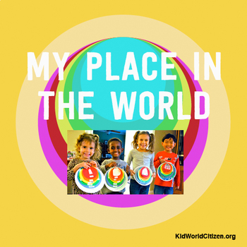
My Place in the World Project: "Me on the Map" Geography for Kids
This hands-on geography project "My Place in the World" has kids create a visual representation of how we fit into the world. Teachers often use it with the kids' geography book "Me on the Map," by Joan Sweeney. Ideal for integrated Social Studies, ELA, Geography, Literacy, and Map Skills.Using a series of nesting circles to show the relative sizes of different geographic places, this simple but effective geography lesson helps kids sort out their relation to one another. This activity includes
Grades:
K - 5th
Also included in: Geography for Kids Bundle: Three Essential Hands-on Activities
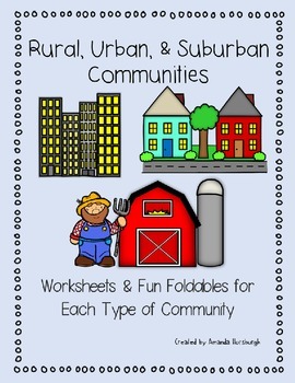
Rural, Urban, and Suburban Communities
Rural, Urban, and Suburban Communities are explored in this product which includes worksheets and fun foldables for each type of community.This product includes all the templates required for the rural, suburban, and urban foldables, along with additional worksheets and information on the community types and characteristics.Rural, Suburban, and Urban Communities Set includes:Living in a Rural Community Worksheet & Foldable templateLiving in a Suburban Community Worksheet & Foldable templ
Grades:
1st - 3rd
Types:
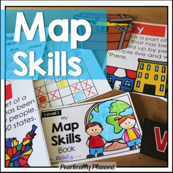
Geography & Map Skills - Reading a Map & Globe Activities & Worksheets
Make teaching mapping skills fun with this map skills mini unit! It covers geography and map navigation basics, including foundational vocabulary; using a compass rose, map key, and simple grid to navigate and read maps and globes; locating continents, oceans, poles, and the equator; and more.Here's what's included:Map Skills Anchor Charts and Vocabulary Cards (map, globe, equator, prime meridian, North Pole, South Pole, latitude, longitude, coordinate, compass rose, key, scale, physical feature
Grades:
K - 3rd
Types:
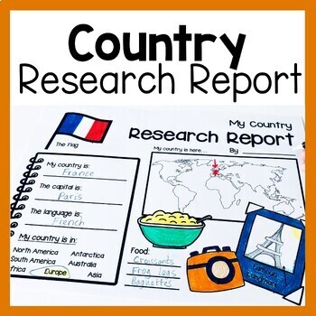
Country Research Report Worksheets and Graphic Organizers Google Slides
Are you looking for engaging activities for writing a country research project? These country research graphic organizer worksheets are perfect for your literacy and social studies lessons about countries. They are ideal for research projects and report writing. They are also great for reading lessons with informational texts.These informational essay graphic organizers are offered as no prep printables, as well as in digital formats (TPT Easel and Google Slides). Here's the thing. You want your
Subjects:
Grades:
1st - 3rd
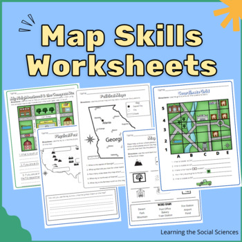
Map Skills Worksheets: Compass Rose, Equator, Grids, Continents, & Maps
This item has 23 different worksheets focusing on different map skills for elementary students! Students will practice learning symbols, the compass rose (cardinal and intermediate directions), keys/legends, the continents, the oceans, equator & prime meridian, the hemispheres, and grid coordinates.Worksheets:Compass RoseMap Symbols IdentificationDraw Your Own Map Symbols on a Map!Map of North AmericaExplain where the United States is on a MapPhysical Features MapThe Continents MapThe Five
Grades:
1st - 3rd
Types:
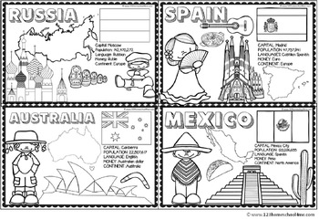
Countries Around the World
If your students are learning about countries around the world this is a handy resource. Kids will learn and commit facts to memory as they color famous landmarks, country shape, flags, traditional clothing, and more for 18 countries including:
- Greece
- Italy
- France
- United Kingdom
- Brazil
- Netherlands
- United States
- Egypt
- China
- Japan
- Peru
- Russia
- Australia
- India
- Kenya
- Spain
- Mexico
Subjects:
Grades:
PreK - 4th
Types:
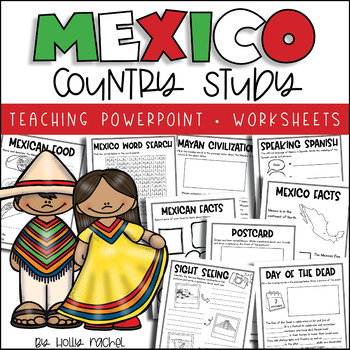
All About Mexico - Country Study
Your students will love learning all about Mexico with this fun country study! Included is a Powerpoint slideshow (.pptx) to teach your class all about Mexico, the capital city, flag, food, language, famous landmarks, the Day of the Dead and the Mayan Civilization! Student activity worksheets are also included based on the facts in the Powerpoint (all differentiated on two levels to support the different abilities in your class), plus a Mexico word search, postcard activity and favorite facts ac
Subjects:
Grades:
1st - 3rd
Also included in: Country Study Bundle
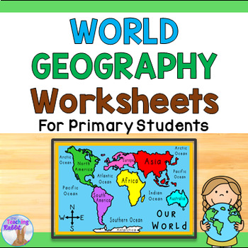
World Geography Worksheets 1st & 2nd Grade - Continents & Oceans
Use this 10-page work booklet with world maps (continents, countries, oceans, and equator), continents match up game, word wall cards, quiz, and word search to introduce world geography concepts to your primary students! *Please note: The maps in this pack show the fifth ocean – the Southern Ocean (or Antarctic Ocean) recognized in the year 2000.*★ Click to follow me and be notified when new resources are added to my store!
Subjects:
Grades:
1st - 2nd
Types:
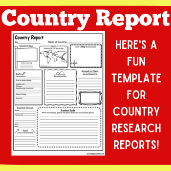
COUNTRY RESEARCH REPORT Template Project Projects | 1st 2nd 3rd 4th 5th Grade
COUNTRY RESEARCH REPORT Template Project Projects | 1st 2nd 3rd 4th 5th GradeYour students will love this country research report template! Perfect for your students to use as they research and write about a different country. This country research graphic organizer template helps them to organize their facts and information in a clear and concise way!❤ CLICK HERE TO FOLLOW GREEN APPLE LESSONS!
Subjects:
Grades:
1st - 5th
Also included in: GRAPHIC ORGANIZER ORGANIZERS Report Project Template BUNDLE
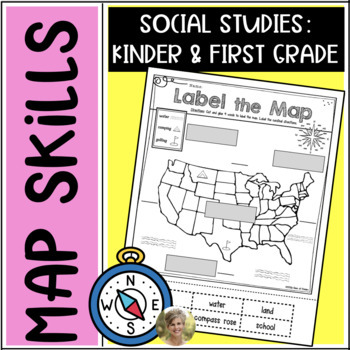
Mapping Skills: Label It! First Grade & Kindergarten Social Studies Vocabulary
Teaching your students mapping skills? Want them to know some basic vocabulary about mapping? This is a clear and simple Label It sheet for mapping! No teacher prep, just print & go!The following 4 parts are cut & then glued:compass roselandoceanmap keyStudents are also asked to label the cardinal directions on the lines provided.(Please note: 2 of the labels are NOT used, students will need to determine which they are.)Print and go for young students and would make a good center activit
Subjects:
Grades:
K - 1st
Types:
Full Page Maps of the World / Continents
Included are 19 pages of full page maps:
- color the continents
- label the continents
- Africa (labeled & plain)
- Antarctica (labeled & plain)
- Asia (labeled and plain)
- Australia (labeled & plain)
- Europe (labeled and plain)
- North America (labeled and plain)
- South America (labeled & plain)
- United States (labeled & plain)
Subjects:
Grades:
K - 6th
Types:
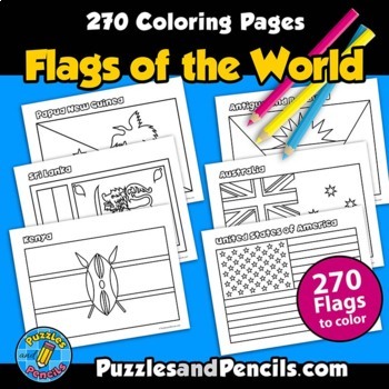
Flags of the World Coloring Pages | 270 World Flags to Make
Flags of the World Coloring Pages. No prep, printable pages. 270 world flags to color, cut out and decorate your classroom, home or bulletin board.Includes:- Coloring pages of 270 flags of the world. Black and white pages for printing. - Index of flags includedFlag document is sized for US letter paper (8.5 x 11) and can also be printed in other sizes using your printer settings.Reinforce learning and have fun making classroom decorations. Great for extending research projects and studies.__
Grades:
1st - 8th
Types:
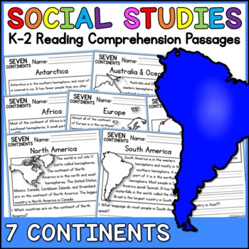
7 Continents Social Studies Reading Comprehension Passages K-2
Are you looking for an easy and fun way to integrate social studies into your reading curriculum?This pack of reading comprehension passages is the perfect choice! These reading comprehension passages cover the 7 Continents. Each passage includes 2-3 questions to go along with the reading!Your students will read a nonfiction passage about a continent. Then, they will answer 2-3 questions based on the passage.The text is intended for K-2nd graders and can be read together as a class, in small gro
Subjects:
Grades:
K - 2nd
Types:
Also included in: Social Studies Reading Comprehension Passages Bundle K-2
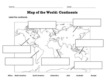
Label Map of the World: Continents, Oceans, Mountain Ranges
Includes 3 maps for labeling the continents, oceans, and major mountain ranges.Perfect for a geography, earth studies, or map skills unit!Check out this Geography Tools Graphic Organizer to explore more about Maps, Atlases, and Globes: https://www.teacherspayteachers.com/Product/Geography-Tools-Graphic-Organizer-5123031
Subjects:
Grades:
K - 3rd
Types:
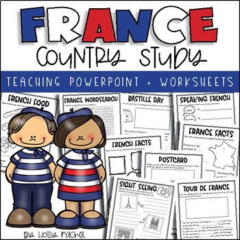
All About France - Country Study
Your students will love learning all about France with this fun country study! Included is an all about France Powerpoint presentation (.pptx) to teach your class all about France, the capital city, flag, food, language, famous landmarks, Bastille Day and the Tour de France! Student activity worksheets are also included based on the facts in the Powerpoint (all differentiated on two levels to support the different abilities in your class), plus a France word search, postcard activity and favorit
Subjects:
Grades:
1st - 3rd
Also included in: Country Study Bundle
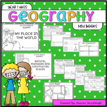
Year 1 HASS Geography
Year 1 HASS - Geography. My Place in the World. Natural, Managed and Constructed Features. This pack features two mini books that your students will love completing as they examine and explore their world and places that are significant to them! The "My Place in the World" is provided in a mini book, and a full size book option! The following pages are included!My place in the world- My bedroom- My house- Houses around the world- My City/Town- My State (Aus State outlines are included for stude
Subjects:
Grades:
1st
Types:
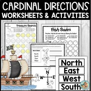
Cardinal Directions Activities and Worksheets for Kindergarten and 1st
Are you looking for age-appropriate and engaging activities to help your little ones with learning about cardinal directions and map skills? I have some great printables for YOU! Check them out!In this download:Pg. 1 CoverPg. 2 Directions Pg. 3 Fish Swim (Follow Cardinal Directions to help the fish.)Pg. 4 Answer KEY Fish Swim (Follow Cardinal Directions to help the fish)Pg. 5 Seal Bubbles (Follow Cardinal Directions)Pg. 6 Answer KEYPg. 7 Treasure Search (Take the ship to a treasure.)Pg. 8 Treas
Subjects:
Grades:
PreK - 1st
Types:
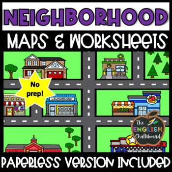
My Neighborhood Maps & Worksheets | Map Skills
This resource includes both printable and paperless versions of a Neighborhood map and worksheet for students to practice their map skills! This simple neighborhood map is a great tool when used as an introduction to Cardinal Directions, Intermediate Directions, Compass Rose, My Neighborhood, My Community, or My City. It can be used as a supplemental Geography or Social Studies activity or on its own. This 8.5” x 11” PDF document includes colored and black & white versions of a simple neighb
Grades:
K - 3rd
Types:
Showing 1-24 of 3,316 results


