1,329 results
3rd grade geography worksheets $5-10
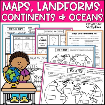
Maps & Globes Continents Oceans Map Skills Worksheet World Map Activity Landform
Interactive Notebooks are a wonderful tool for providing hands-on experiences for learners. This Maps, Continents, and Landforms Interactive Notebook is no exception! The packet is easy to use for both student and teacher. ✅ Click HERE to SAVE 20% on this resource with the Maps, Continents, and Landforms unit and poster bundle!✅ Click HERE to SAVE even more by buying ALL 15 Social Studies Interactive Notebooks and Mini Units in one Year-Long Bundle.Click on the PREVIEW button above to see all t
Grades:
3rd - 5th
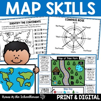
Map Skills Activities and Worksheets Maps Globes Landforms Continents & Oceans
Make learning fun for your students when teaching map skills. Map skills topics include maps, globes, continents, oceans, landforms, water forms, suburban, urban, rural, directions, and more. This resource is perfect for second, third, and fourth grade students. Digital activity included using Easel by TpT.These activities can be used during whole group instruction, independent work, and center time. Easy-to-use activity sheets with clear directions and answer keys are provided.HERE'S WHAT YOU'L
Grades:
2nd - 4th
Types:
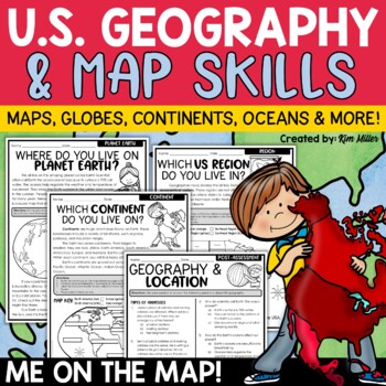
US Geography Map Skills | Maps and Globes, Continents, Oceans, Me on the Map
Do your students struggle with general map skills, their location on a map or globe, or naming our continents and oceans? This popular U.S. geography and map skills packet will help your students master these mapping skills and more with ease. Fun for students and super helpful for teachers!This United States geography and map skills resource provides an easy and fun way for students to develop a better understanding of where they live in the world, as well as key geography skills and concepts.
Subjects:
Grades:
3rd - 5th
Types:
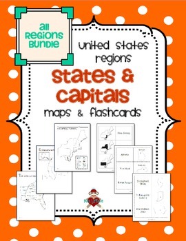
All US Regions States & Capitals Maps
Save $3 if you buy all the regions at once in this packet! Note that this product includes both MAPS and FLASHCARDS for the states & capitals of the five regions of the US.
This product contains 3 maps of each of the five regions of the United States (15 maps in all). Check out the FREE Northeast region set of maps.
• Study guide map labeled with the states and capitals (which can also be used as an answer key)
• Blank map with a word bank of the states and capitals
• Blank map without wor
Subjects:
Grades:
3rd - 5th
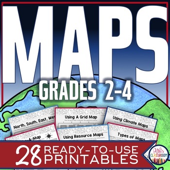
Map Skills Worksheets - Types of Maps, Cardinal Directions, Scale, Reading Maps
This pack of activities for Grades 2 - 4 includes 28 pages of thoughtfully designed printables to engage your students while they practice these basic concepts. You’ll find these ready-to-use pages to be easy to implement and thorough in scope. This resource includes opportunities for your students to acquire information from a variety of maps, to use map elements including the compass rose and scale, and to create their own maps within a defined (and easy to use) set of directions. There’s j
Grades:
2nd - 4th
Types:
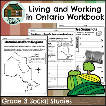
Living and Working in Ontario Regions Workbook (Grade 3 Social Studies)
This workbook covers the Grade 3 Living and Working in Ontario unit in the NEW 2023 Ontario Social Studies curriculum (People and Environments).In this workbook, students will learn many interesting things about Ontario. They will explore the provinces and territories of Canada through maps and descriptions. The workbook will teach them about land use in Ontario, including its purpose and how it is compared to other areas. They will learn about municipal governments and Indigenous reserves, incl
Grades:
3rd
Also included in: Grade 3 Ontario Social Studies Workbook Bundle
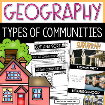
2nd & 3rd Grade Geography - Types of Communities Social Studies Activities
Teaching 2nd and 3rd grade students about the different types of communities is fun and exciting with these activities and worksheets! This social studies resource contains easy-to-follow lessons to help you teach your class about the different characteristics of communities in the U.S. Cover a variety of geography topics as your students will learn about the population, transportation, and homes in urban, suburban, and rural communities. This product includes lesson plans, foldables, activities
Subjects:
Grades:
2nd - 3rd
Types:
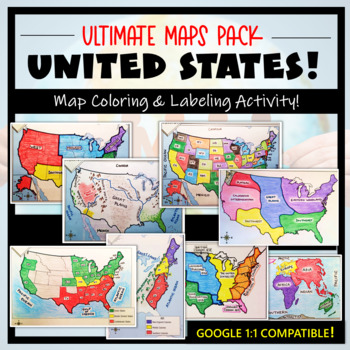
U.S. Maps & Geography- The Ultimate Label & Color Maps Pack! (American History)
This United States Ultimate Maps & Geography Pack includes eight different maps for your American History student explorers- Political Map, Physical Map, Native American Cultural Regions, 13 Colonies, Westward Expansion, 5 Regions, Civil War, and a World Map. These labeling and coloring activities are interactive, engaging, and ready to use- just print and copy! A Teacher’s Guide is provided, as well as options for use to fit your curriculum/lesson. You will also receive a completed, col
Grades:
3rd - 10th
Types:
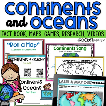
Continents and Oceans Activity | 7 Continents Printables | Ocean and Continents
Are you looking for a fun and engaging continents and oceans activity to teach map skills lessons in 2nd and 3rd grade? With engaging games, songs, maps and more, these 7 continents printables will lead to student mastery in no time! Students can label the 7 continents on a map, learn about the continents and oceans through reading passages, play continents and oceans games, sing songs, complete continent and oceans project ideas, and complete research. INCLUDES BOTH A PRINT AND DIGITAL VERSIO
Subjects:
Grades:
2nd - 4th
Types:
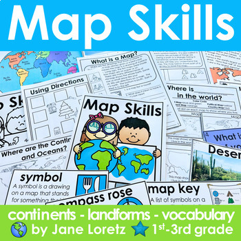
Map Skills 2nd grade 3rd grade worksheets, continents, vocabulary, landforms
This unit has everything you need for a great unit to teach map skills, vocabulary, continents, and landforms. This unit was written and used with first, second and third graders.What is included….MAP SKILLS-A 12 page no prep packet to help your students understand basic map skills. A cover is included so all you need to do is copy and staple. This pack would be great for distance learning, easy enough so students can do this independently. This pack includes these concepts…-What is a globe?-Wh
Subjects:
Grades:
1st - 3rd
Types:
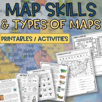
Map skills and Types of Maps Printables & Activities Pack
Map Skills and Types of Maps Unit: All the worksheets and activities you will need to help teach the subject. Answer Keys are included. What comes with this download: (take a look at the preview for greater detail!)· Types of Maps Reading Passage and Comprehension Questions · Elements of a map Reading Passage and Comprehension Questions · Using a Compass Rose Worksheet · United States map filled in and empty · Cut and Paste Types of Maps · Using a map key activity · Map skills activity · Coordin
Subjects:
Grades:
3rd - 5th
Types:
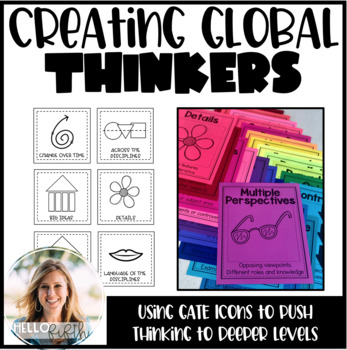
Creating Global Thinkers with Depth and Complexity Icons
Do you want your students learning globally, using higher level thinking, and learning geography... all in twenty minutes a day? I did too so I created this easy way to challenge your students from the moment they walk in the door.This product is easy to print and can be seamlessly implemented into your morning routine. It is recommended that you use the icons of depth and complexity (included) to push and extend student thinking.Included in this product:-Explanation, sample lesson plan, real
Subjects:
Grades:
3rd - 6th
Types:
All About Landforms and Water Sources BUNDLE Flip Book Posters Worksheets l More
This is a combination of my All About Landforms packet, my All About Landforms PowerPoint, and my Water Sources set! It contains great interactive books about landforms and water sources, posters, worksheets, games, vocabulary, and much more! I love to get the students engaged instead of just having them copy down words, and this set is perfect for that! My All About Landforms Book set and my Water Sources Book set is great for end of the year 1st graders, 2nd graders, and even 3rd grade. ✅S
Subjects:
Grades:
1st - 3rd
Types:
The Oregon Trail Activity and Lesson Pioneer Life Westward Expansion Worksheets
Your students will love learning about the Oregon Trail with this fun interactive packet. The hands-on activities, including a mini book, packing the wagon simulation, map, bulletin board, and more, will help your students learn and understand the history of the Oregon Trail!Click the PREVIEW to see everything included in this resource!Click here and SAVE 20% by buying ALL 15 Social Studies Interactive Notebooks and Mini Units in one Year-Long Bundle.This resource includes both a printable vers
Grades:
3rd - 6th
Interactive Notebook - World Cultures and Geography
VIEW COMPANION WORKBOOK FOR THIS RESOURCE AT: http://www.teacherspayteachers.com/Product/COMPANION-WORKBOOK-for-Interactive-Notebook-World-Cultures-and-Geography-990245
This interactive notebook was created to comply with the TEKS (Texas Essential Knowledge and Skills) for 6th grade social studies. It can be used, in whole or in part, in any class where geography and world culture is taught.
This 123 page product will give you an easy to use and follow and FLEXIBLE resource to add to your le
Grades:
3rd - 12th
Types:
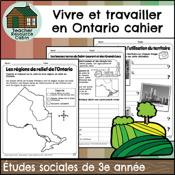
Vivre et travailler en Ontario cahier (Grade 3 FRENCH Social Studies)
This FRENCH workbook covers the Grade 3 Living and Working in Ontario unit in the NEW 2023 Ontario Social Studies curriculum (People and Environments).Ce cahier d'exercices couvre l'unité Vivre et travailler en Ontario de la 3e année du programme d'études sociales de l'Ontario 2023 (Communauté et environnement).In this workbook, students will learn many interesting things about Ontario. They will explore the provinces and territories of Canada through maps and descriptions. The workbook will tea
Subjects:
Grades:
3rd
Also included in: MEGA BUNDLE: Grade 3 Ontario FRENCH Social Studies Full Units
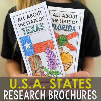
USA States Research Report Activity Projects | United States Regions Worksheets
These (50) 2-sided brochure projects are packed with information for students to research. This activity can be completed in a few different ways. You can provide your students with the information to fill out their brochures, or have them find the information through Internet research. If your students are inexperienced with Internet research, guide them through the process by projecting a search that you lead. Ducksters.com and Britannica.com are two of my favorite places for students to resea
Grades:
3rd - 6th
Types:
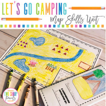
Geography Map Skills | Drawing a Map | Physical vs Political Maps | Grid Maps
If you're tired of boring map skills worksheets, this is a resource you've been looking for! In this unit, students will practice important directional skills such as: cardinal directions, reading a map, reading a map key, drawing a map, political maps vs physical maps, reading a grid map and drawing symbols on a grid map all while having fun, staying engaged, and being creative.This is the PRINTABLE VERSION, the DIGITAL VERSION is available here.This unit includes:•Camping Directions- students
Subjects:
Grades:
2nd - 4th
Types:
Also included in: Geography Map Skills | Physical vs Political Maps Bundle | Grid Maps
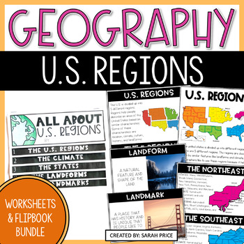
5 U.S. Regions Activities & Worksheets - 2nd, 3rd & 4th Grade Geography Lessons
Are you looking for fun and engaging geography lessons for your 2nd, 3rd & 4th grade students? Your students will love learning about the five U.S. regions with these engaging activities and worksheets! This resource includes easy-to-follow geography lessons to help you teach your class about all five U.S. Regions. In this bundle, your students will use hands-on activities, foldables, worksheets, early finisher resources, homework options, writing prompts, a flipbook, quiz, and more! Grab th
Subjects:
Grades:
2nd - 4th
Types:
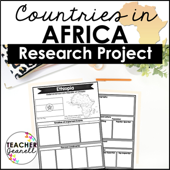
Country Research Project Posters - Africa
The Africa Research Project is the perfect tool for teachers looking for an engaging way to help their students learn about African countries. With this unique project, teachers can allow students to explore an African country of their choice in-depth, gaining a greater understanding and appreciation of its geography, population, government type, current leaders, currency, and much more.The research process has been simplified with comprehensive graphic organizers that provide structure for each
Grades:
3rd - 8th
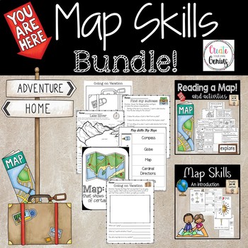
Map Skills Bundle Distance Learning
~My number 1 best seller with bundled resources~!!Task Cards! Worksheets! Maps! Interactive notebooks! Posters! Answer Keys!This pack has it all for you and your students.-Posters with graphics, interactive notebook cut and paste! Notes for students or handouts-Read the map of Silver Lake and answer the questions that follow.-Find my suitcase activity for the class-Students visit the Zoo and answer questions about the animals and how to move about the zoo.-Emily Moves to a New city! Answer quest
Grades:
1st - 5th
Types:
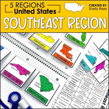
5 Regions of the United States | Southeast Region Activities | US Regions
Your students will enjoy learning about the Southeast Region with this interactive packet. The hands-on approach to learning includes high-interest interactive notebook foldables, map booklet, memory match game, bulletin board, and unit test! Students will master the 5 regions of the United States in no time at all with this helpful resource!Click HERE to SAVE 20% with the complete U.S. Regions Resource Bundle.Please take a look at the preview for a better understanding of the contents of this p
Grades:
3rd - 6th
Also included in: Regions of the United States Worksheets Maps & Activities 5 US Regions
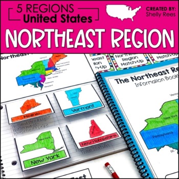
5 Regions of the United States | Northeast Region Activities | US Regions
Your students will enjoy learning about the Northeast Region with this interactive packet. The hands-on approach to learning includes high-interest interactive notebook foldables, map booklet, memory match game, bulletin board, and unit test! Students will master the 5 regions of the United States in no time at all with this helpful resource!Click HERE to SAVE 20% with the complete U.S. Regions Resource Bundle.Please take a look at the preview for a better understanding of the contents of this p
Grades:
3rd - 6th
Also included in: Regions of the United States Worksheets Maps & Activities 5 US Regions
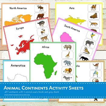
Montessori Animal Continents Activity Sheets
A total of 21 activity sheets!! This is a Nienhuis inspired Montessori geography material in learning animals thriving in each 7 continents (Asia, Africa, Australia, Antarctica, Europe, North America and South America). Note that this file is in a ZIP FORMAT. Be sure you have the tools to open this learning pack.There are 5 animals featured in each continent. ANIMALS ARE IN NOT IN REAL PHOTOS, please check the BLOGPOST and THUMBNAILS for the preview.Each continent has the following sheets: -
Subjects:
Grades:
PreK - 6th
Types:
Showing 1-24 of 1,329 results


