TPT
Total:
$0.00

Subjects

Arts & Music
English Language Arts
Foreign Language
Holidays/Seasonal
Math
Science
Social Studies - History
Specialty
For All Subject Areas
1,624 results

8th grade social studies independent work packets $5-10

Preview of TED Talk: Persuasive Writing Unit & Assignment

TED Talk: Persuasive Writing Unit & Assignment

Created by
The Lesson Shop
Our most popular item, now with an updated TED Talks To View list!This TED Talk presentation assignment begins with viewing and analyzing TED Talks based on different Persuasive Writing and Public Speaking techniques. Students then create their own. Perfect for either in-class or independent work! This Package Includes: Overview of TED Talks Assignment Sheet Persuasive Techniques HandoutRecommended TED Talks to study Note Taking Template for active viewing Research Notes Template Ideas Templ
Preview of Pearl Harbor Primary Source Analysis Compare 3 Points of View
Pearl Harbor Primary Source Analysis Compare 3 Points of View

Students will read and analyze 3 accounts of the events at Pearl Harbor from the point of view of an American soldier, a Japanese bomber, and the White House by answering 25 questions including comparing and contrasting them. Two questions have students connect the material to today. They will also analyze images and propaganda posters (prompts provided), create two propaganda posters for different points of view, and complete 2 extension tasks (a dialogue exchange and a word cloud). The answ
Preview of NATIONAL PARK Research Projects | USA American Landmarks Report Activities
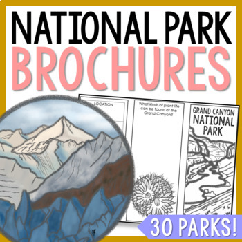
NATIONAL PARK Research Projects | USA American Landmarks Report Activities

This bundle of 30 national park brochure projects is a fantastic way for your students to explore a huge variety of landscapes across North America. Each no-prep activity can be completed in a few different ways. You can provide your students with the information to fill out their brochures, or have them find the information through Internet research. If your students are inexperienced with Internet research, guide them through the process by projecting a search that you lead. NPS.gov and Britta
Preview of Geography of North America Map Practice Activities | USA Canada Mexico | Google
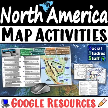
Geography of North America Map Practice Activities | USA Canada Mexico | Google

End the cycle of bored students copying from books to label maps! Your classes think critically with these digital, interactive, geography activities. First, students answer questions about North America by analyzing various physical & political maps of the region. Then, a drag & drop challenge assesses their learning of the locations. This resource also includes a printable worksheet that takes labeling maps to the next level! They create a map of the United States, Canada, and Mexico u
Preview of Geography of Europe Map Practice Activities | Print and Digital | Google
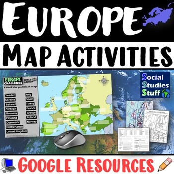
Geography of Europe Map Practice Activities | Print and Digital | Google

End the cycle of bored students copying from books to label maps! Your classes think critically with these digital, interactive, geography activities. First, students answer questions about Europe by analyzing various physical & political maps of the region. Then, a drag & drop challenge assesses their learning of the locations. This resource also includes a printable worksheet that takes labeling maps to the next level! They create a map using only absolute & relative location clues
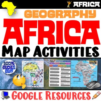
Preview of Geography of Africa Map Practice Activities | Print and Digital | Google

Geography of Africa Map Practice Activities | Print and Digital | Google
End the cycle of bored students copying from books to label maps! Your classes think critically with these digital, interactive, geography activities. First, students answer questions about Africa by analyzing various physical & political maps of the region. Then, a drag & drop challenge assesses their learning of the locations. This resource also includes a printable worksheet that takes labeling maps to the next level! They create a map using only absolute & relative location clues
Preview of 3 Branches of Government Civics Activities
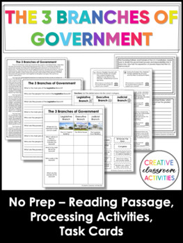
3 Branches of Government Civics Activities

Teaching the three branches of the U.S. government is an essential part of the U.S. History or Civics curriculum. This product is a concise and effective way of teaching the three branches of government. It can be used to meet the needs of all learners. There are a variety of activities included!This product includes the following:Reading passage: a one page reading passage about the 3 branches of governmentGraphic organizer: students can use to take notes as they read or to summarize what they
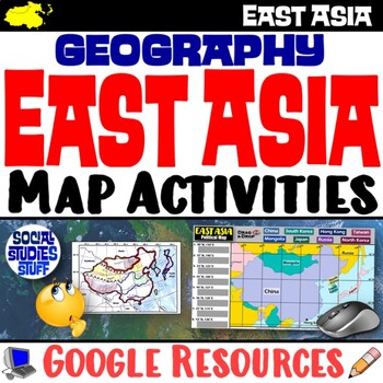
Preview of Geography of East Asia Map Practice Activities | Print and Digital | Google
Geography of East Asia Map Practice Activities | Print and Digital | Google

End the cycle of bored students copying from books to label maps! Your classes think critically with these digital, interactive, geography activities. First, students answer questions about East Asia by analyzing various physical & political maps of the region. Then, a drag & drop challenge assesses their learning of the locations. This resource also includes a printable worksheet that takes labeling maps to the next level! They create a map using only absolute & relative location cl
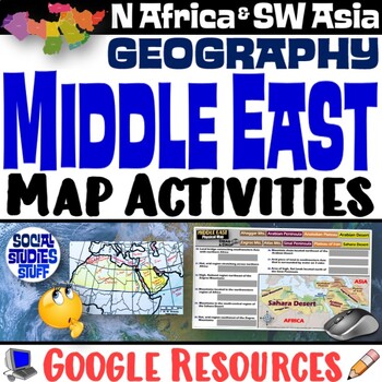
Preview of Middle East Map Practice Activities | SW Asia & North Africa Geography | Google
Middle East Map Practice Activities | SW Asia & North Africa Geography | Google

End the cycle of bored students copying from books to label maps! Your classes think critically with these digital, interactive, geography activities. First, students answer questions about the Middle East by analyzing various physical & political maps of the region. Then, a drag & drop challenge assesses their learning of the locations. This resource also includes a printable worksheet that takes labeling maps to the next level! They create a map of Southwest Asia & North Africa usi
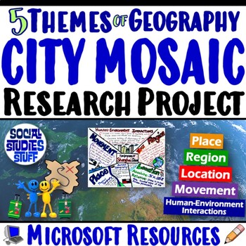
Preview of Five Themes of Geography Research Project PBL | 5 Themes City Mosaic | Microsoft
Five Themes of Geography Research Project PBL | 5 Themes City Mosaic | Microsoft

Challenge your class to research & showcase the “5 Themes of Geography” for a major world city. Creating mosaics is a fun way to assess student learning while letting them show off their creativity. First, they research their city’s location, place, region, movement, and human-environment interactions. Then, they design colorful mosaics with images & descriptions featuring their cities. A rubric sets clear expectations for your students & makes grading easy! Your purchase has editabl
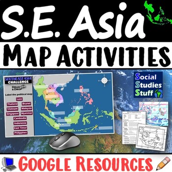
Preview of Geography of Southeast Asia Map Practice Activities | SE Asia Region | Google
Geography of Southeast Asia Map Practice Activities | SE Asia Region | Google

End the cycle of bored students copying from books to label maps! Your classes think critically with these digital, interactive, geography activities. First, students answer questions about Southeast Asia by analyzing various physical & political maps of the region. Then, a drag & drop challenge assesses their learning of the locations. This resource also includes a printable worksheet that takes labeling maps to the next level! They create a map using only absolute & relative locati
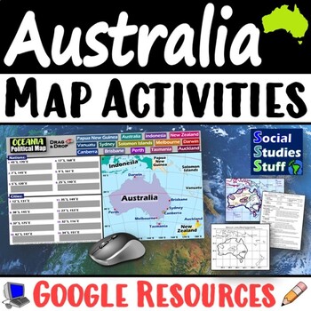
Preview of Geography of Oceania Map Practice Activities | Australia Region | Google
Geography of Oceania Map Practice Activities | Australia Region | Google

End the cycle of bored students copying from books to label maps! Your classes think critically with these digital, interactive, geography activities. First, students answer questions about Australia & Oceania by analyzing various physical & political maps of the region. Then, a drag & drop challenge assesses their learning of the locations. This resource also includes a printable worksheet that takes labeling maps to the next level! They create a map using only absolute & relati
Preview of Geography of South America Map Practice Activities | Print and Digital | Google
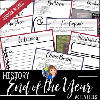
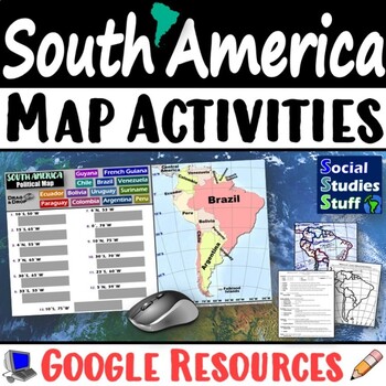
Geography of South America Map Practice Activities | Print and Digital | Google

End the cycle of bored students copying from books to label maps! Your classes think critically with these digital, interactive, geography activities. First, students answer questions about South America by analyzing various physical & political maps of the region. Then, a drag & drop challenge assesses their learning of the locations. This resource also includes a printable worksheet that takes labeling maps to the next level! They create a map using only absolute & relative locatio
Preview of END OF THE YEAR HISTORY ACTIVITIES with Google Slides
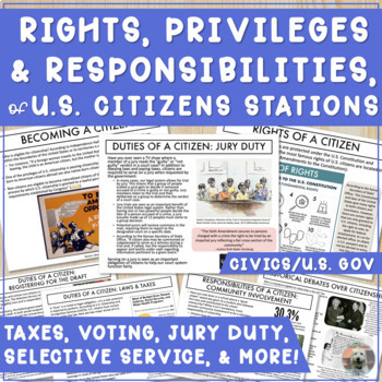
END OF THE YEAR HISTORY ACTIVITIES with Google Slides

Celebrate the end of the year with a student choice project - as either a print version or on GOOGLE SLIDES! This End of the Year Social Studies Choice Board is designed to reflect information your students have learned in Social Studies, personal information about your class, and gives your students an opportunity to preview information from their next Social Studies course. Templates are included.Don’t have time for a choice board? You can differentiate the content by offering different activi
Preview of Stations on Rights, Responsibilities, Duties, & Privileges of U.S. Citizenship
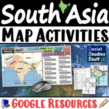
Stations on Rights, Responsibilities, Duties, & Privileges of U.S. Citizenship

Need an activity on the rights and responsibilities of U.S. citizens? Cover the rights, duties, and privileges of U.S. citizenship with stations! As students view the stations, they will answer 1-3 questions for each station--analyzing different aspects of U.S. citizenship. Google Drive folder includes:Set of 9 stations featuring a mixture of texts & images of rights, duties, responsibilities, and privileges of U.S. Citizenship (PDF) (Google Slides with some editable text boxes)Student hand
Preview of South Asia Map Practice Activities | India Geography | Print & Digital | Google

South Asia Map Practice Activities | India Geography | Print & Digital | Google

End the cycle of bored students copying from books to label maps! Your classes think critically with these digital, interactive, geography activities. First, students answer questions about South Asia by analyzing various physical & political maps of the region. Then, a drag & drop challenge assesses their learning of the locations. This resource also includes a printable worksheet that takes labeling maps to the next level! They create a map of India using only absolute & relative l
Preview of Student Choice Biography Research Project — Secondary ELA — CCSS Rubric
Student Choice Biography Research Project — Secondary ELA — CCSS Rubric

Do you want to teach your students the format of a short biography? This no-prep biography research project guides students through the research and reporting on a significant figure of their choice! It will shepherd student learning from the selection and planning process to the creation of a polished essay using thoughtfully scaffolded and tested activities. Designed as a weeks-long research unit, this product includes (See PREVIEW):The Basics of MLA Style PowerPoint presentation to assist wit
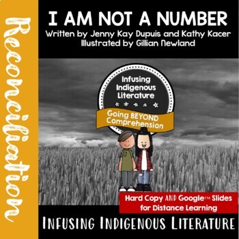
Preview of I AM NOT A NUMBER Lessons - Residential Schools Reading Response
I AM NOT A NUMBER Lessons - Residential Schools Reading Response

Supporting Indigenous Resources for Inclusive Learning for Elementary and Middle School Students This no-prep learning resource / reconciliation novel study, includes NINE different activities to support this authentic resource using comprehension strategies: Summarizing, Connection, Visualization, Questioning, Critical Thinking and Transformation Plus... an activity identifying Child Rights violations described in the book.This response unit supports in class learning as well as DISTANCE LEARNI
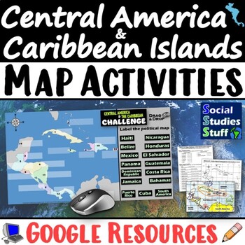
Preview of Geography of Central America and the Caribbean Map Practice Activities | Google
Geography of Central America and the Caribbean Map Practice Activities | Google

End the cycle of bored students copying from books to label maps! Your classes think critically with these digital, interactive, geography activities. First, students answer questions about Central America and the Caribbean Islands by analyzing various physical & political maps of the region. Then, a drag & drop challenge assesses their learning of the locations. This resource also includes a printable worksheet that takes labeling maps to the next level! They create a map using only abs
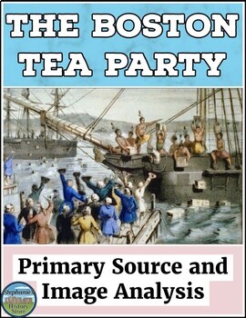
Preview of The Boston Tea Party Primary Source and Image Analysis
The Boston Tea Party Primary Source and Image Analysis

Students will read 2 primary sources on the Boston Tea Party from the American Revolution (Revolutionary War) and answer 12 questions for one and 17 for the other. They will analyze 5 images by responding to 7 prompts and completing a creative task. Lastly, there are 4 extension tasks to choose from. The answers are included where appropriate and this would be great for a sub! See the preview for a closer look! ***UPDATED to include 5 ideas for implementation.***Sample questions include:--
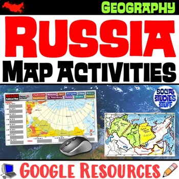
Preview of Geography of Russia Map Practice Activities | Print and Digital | Google
Geography of Russia Map Practice Activities | Print and Digital | Google

End the cycle of bored students copying from books to label maps! Your classes think critically with these digital, interactive, geography activities. First, students answer questions about Russia by analyzing various physical & political maps of the region. Then, a drag & drop challenge assesses their learning of the locations. This resource also includes a printable worksheet that takes labeling maps to the next level! They create a map using only absolute & relative location clues
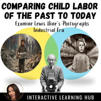
Preview of Child Labor: Compare Industrial Era to Present Day
Child Labor: Compare Industrial Era to Present Day

This lesson involves having students examine the impacts of the Industrial Era in the United States with a specific focus on child labor. It is recommended that students will have explored, to some degree, the Industrial era prior to this lesson. This resource will prompt students to analyze social activist Lewis Hines' photographs that depict the various jobs and working conditions that children experienced. The Slide Presentation is interactive, problem posing, and vicariously draws the studen
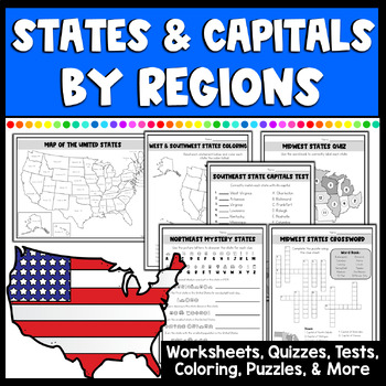
Preview of 50 States and Capitals Worksheets, Tests, Activities & More by Regions

50 States and Capitals Worksheets, Tests, Activities & More by Regions

Created by
Joyful 4th
Make learning all 50 states & capitals by regions fun & engaging with this amazing set full of multiple different activities. This NO PREP set has everything you will need with maps, study guides, matching states and capitals, mystery state pages with clues, coloring locations, crossword puzzles, quizzes, tests & more! 45 pages of fun activities for learning all about the United States by regions: Northeast, Southeast, Midwest, West, and Southwest state regions.What's included in the
Preview of President Thomas Jefferson Gallery Walk

President Thomas Jefferson Gallery Walk

Students will learn about Jefferson's presidency by reading 9 passages covering people and events related to his time in office (foreign and domestic). They will answer 42 questions based on the passages and 10 overarching questions. They will read two points of view on the Embargo Act of 1807 and answer 6 questions, complete a creative dialogue and advertisement activity, play true/false/fix, and write newspaper headlines with corresponding snippet previews. The answers and a teacher informa
Showing 1-24 of 1,624 results

Find Social Studies - History resources | TPT

Importance of learning social studies

Social studies offers valuable insights into history, geography, and much more. Social studies captivates students by providing them with perspectives from the past, present, and future, allowing them to understand history and navigate current events. It enables them to appreciate how previous generations have shaped their present reality. In essence, social studies opens their eyes to the vastness of life beyond their immediate surroundings.

Benefits of learning social studies

Learning social studies offers many benefits to students in terms of helping them develop a holistic understanding of the world. Namely, it helps them:

  • Learn about the achievements, challenges, perspectives, traditions, and customs of different societies
  • Evaluate information, analyze evidence, and make informed judgments about complex social, economic, and political issues
  • Become active, responsible, and engaged citizens
  • Comprehend global issues such as human rights, environmental sustainability, and economic disparities

By teaching social studies, teachers can help students develop critical thinking skills, foster civic engagement, and promote social awareness and responsibility.

Teaching with social studies resources

On TPT, social studies resources come in various formats, from worksheets to interactive notebooks to units. They can be used to enhance learning, assess a student’s mastery of social studies concepts, or to reteach a tricky topic. With plenty of TPT resources at your fingertips, teaching and learning social studies will be so much easier.

Discover printable and digital social studies resources

If you’re a teacher or parent looking for printable or digital social studies resources, TPT has an extensive array of instructional materials for every learning need, topic, or grade level. Whether you’re teaching students about America’s democratic process, the legacy of Dr. Martin Luther King, Jr., how to read maps, or World War II, we’ve got you covered.

Social studies resources on TPT offer informative lessons, engaging texts, intriguing facts, interactive puzzles, and enjoyable trivia games. These grade-specific resources ensure that all students can access age-appropriate materials that stimulate their minds and enhance their creative thinking abilities.

For instance, first graders can explore worksheets on senses and emotions, followed by a coloring page featuring Harriet Tubman. Older students can test their knowledge with quizzes on statistics and capital cities, then delve into the history of the Underground Railroad through an informational sheet or enjoy a word search focused on civil rights leaders. With such a wide variety of subjects and topics covered, our social studies pages provide endless opportunities for students to explore the world in captivating ways.

Frequently asked questions about teaching social studies

What types of social studies lessons are available on TPT?

There are many different types of history resources sold by Sellers on TPT. Some popular social studies lessons include U.S. history, world history, ancient history, geography, civics, and government.

How do I find social studies lessons on TPT?

Educators can save time preparing history lessons with resources created by experienced teachers. Simply start a search for social studies resources on the TPT marketplace, and filter by grade level, price, and/or resource type to find materials that've been proven to work in classrooms like yours. No matter what you’re teaching, there are plenty of social studies lessons and activities sold by Sellers on TPT that are tailored to meet your students' skill levels.