69 results
8th grade geography homework for Easel Activities
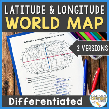
Latitude and Longitude Worksheet | Differentiated Activity | World Map
Do your students find latitude and longitude confusing? This resource will help make teaching this tricky skill a piece of cake! And, this resource comes with two differentiated versions to meet your students needs. Worksheet A has no labels, so students can practice identifying continents, oceans, and 2 (easily identifiable) countries as they follow the Latitude and Longitude coordinates! Worksheet B is similar, and perfect for ELL's or struggling learners! The map on this version is labeled, s
Subjects:
Grades:
4th - 8th
Types:
Also included in: Latitude and Longitude ACTIVITY BUNDLE!
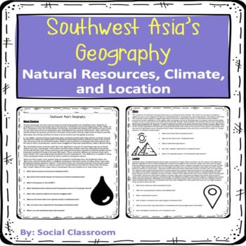
Southwest Asia Geography: Natural Resources, Climate, and Location (SS7G5)
Easy and no preparation needed to deliver this worksheet to your students. Chunked readings with a set of questions for natural resources, climate, and location to help your students comprehend and understand the information. ANSWER KEY INCLUDED!Different ways to use this: Class reading Independent reading Small group reading Introduction reading Homework Substitute work Remediation Assignment
Grades:
4th - 8th
Types:
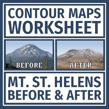
Simple Topographic and Contour Maps Worksheet Mount St. Helens
Earth's Changing Surface: Practice reading contour maps with a REAL LIFE volcano example! Supports NGSS Earth Science MS-ESS3-2 and MS-ESS2-2.In this activity, students are given a topographic map of Mt. St. Helens BEFORE and AFTER it erupted. Students analyze the maps for contour intervals, elevation, and how the volcano changed the topography of the mountain.This document has some companion resources:Mt. St. Helens Reading and QuestionsTopographic Maps Practice Contour Maps QuizTeacher Note
Grades:
6th - 8th
Types:
NGSS:
MS-ESS2-3
, MS-ESS3-2
, MS-ESS2-2
, MS-ESS2-1
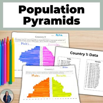
Create a Population Pyramid Project for Geography Population Growth and Decline
Are you looking for practice creating population pyramids? Then this is for you! These scaffolded population pyramids are great for helping all students access grade level content! Students are given two countries' population data to make a population pyramid. They will also create their own population for a country and can create a population pyramid using their data or switch with a peer and complete each others.This is a no-prep project! Just print and go! Students will make 3 population pyra
Grades:
8th - 11th
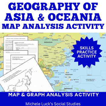
Asia and Oceania Geography Introduction Atlas Mapping Data Analysis Activity
Introduce the Geography of Asia and Oceania with a concise Atlas Activity. This is the activity I use to introduce my students to the physical geography of Asia and Oceania. Since Asia can be split into 3 smaller regions (South, East, and Southeast), it is the same activity form for each of the 3 regions plus one for Oceania, with a cumulative mapping assignment and essay prompt at the end. Assignment requires students to investigate the physical and human statistics and features of the conti
Grades:
6th - 10th
Types:
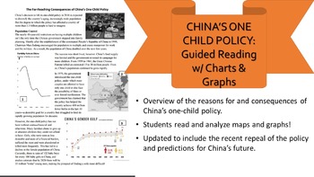
One-Child Policy Reading, Charts, & Questions Distance Learning
China's One-Child Policy and updates! This short reading gives a great overview of the causes and effects of China's one-child policy and the nation's reasons for loosening these restrictions. It covers China's gender imbalance, growing aging population, and shrinking labor force while asking students questions that test their comprehension skills and their ability to read maps and graphs. Useful for an in-class assignment or homework. I combined numerous articles and reduced the lexile level to
Grades:
6th - 12th
Types:
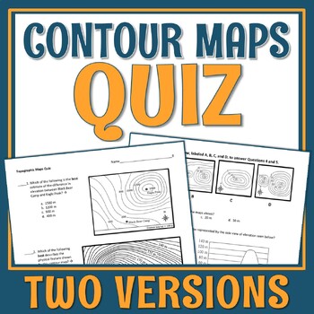
Topographic Map and Contour Map Quiz
VERY QUICK topographic map quiz.This is a quick 5-question quiz that assesses a students' basic ability to read contour maps. Each question provides a map(s) for analysis and then gives multiple choice answers to choose from. This quiz is middle school level.Concepts Included:Contour intervalsElevation differencesRecognizing what a topo map's side profile would beRecognizing the physical features represented on a topo mapThere are two print versions of the quiz provided. They appear to be ide
Subjects:
Grades:
7th - 10th
Types:
NGSS:
MS-ESS2-3
, MS-ESS2-2
Parts of a Map,Google Maps & Google Earth Scavenger Hunt
The perfect activity for young explorers! This product offers activities such as exploring and identifying parts of a map, using Google Maps and Google Earth to learn about new places and two map scavenger hunts. Includes:Parts of a Map Scavenger Hunt Exploring the United States Scavenger Hunt Using Google MapsDraw Your Own MapGoogle Earth Scavenger Hunt For other travel and geography inspired resources check out the following!Exploring Our Nation's National ParksMap Scavenger HuntAdventure/Moun
Grades:
5th - 8th
Types:
Also included in: Map Unit Bundle
The Treaty of Paris of 1783 Reading & Mapping Worksheet
Have students learn about the end of the Revolutionary War with this interactive worksheet! This worksheet addresses...- The end of the Revolutionary War- The outcomes of the Treaty of Paris- Drag & Drop Activities- short answer questionsand lastly, a before and after mapping activity! Easy to use, little prep for those days you are looking for a filler! Easel version included!
Grades:
3rd - 8th
Types:
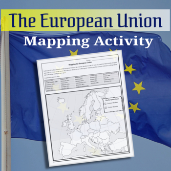
Mapping the European Union Activity
Map activity of the European Union countries. Students will locate, label and then color in the current countries of the EU.
Subjects:
Grades:
6th - 12th, Adult Education
Types:
CCSS:
A Case Study on Ethiopia Reading Handout & Questions
Are you teaching the Geography of Africa or simply need a no-prep lesson resource on Ethiopia?
This simple two-page reading and question handout introduces Ethiopia and discusses its challenges and opportunities for future generations.
Questions follow the reading, map and images.
Great for a homework assignment or for a quick mini-lesson in class.
CCSS Aligned.
This is also available in my Geography of Africa Complete Unit in my TpT Store.
Related Products
• Africa Unit Atlas Introduction
Grades:
5th - 11th
Types:
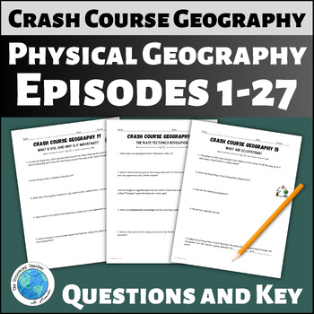
Guiding Questions for Crash Course Geography Episodes 1-27 Physical Geography
These questions go with episodes 1 to 27 (the physical geography episodes) of the Geography Crash Course video series available on YouTube. Included you will find 10 short answer and fill-in-the-blank questions with an answer key for each episode. This item is available as a printable PDF file, Google Slides™ files with typeable text boxes, and as digital Easel assignments. Use these questions as an in-class assignment or as an assignment for students to complete as homework. Included are questi
Grades:
8th - 10th
Types:
Also included in: Crash Course Geography Complete Bundle of Questions for Episodes 1-50
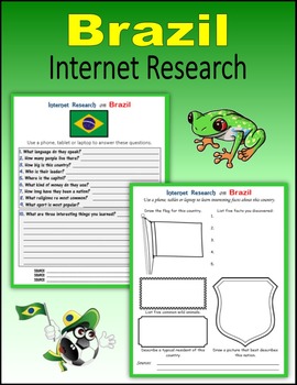
Brazil - Internet Research Activities
22 printable or digital pages to engage your students in Internet Research on Brazil. Students use a phone, tablet or laptop to search online about the people of Brazil:language,customs,flag,stamps,coat of arms,money (coins and currency),biggest mountains,major rivers and lakes,wild animals,history,national anthem,capitolsize (population and land), most popular sports,and more... PRINT: I created a PDF version that you can download on your computer and print for students to use in class or at h
Subjects:
Grades:
4th - 12th
Types:
Also included in: Back to School Global Awareness BUNDLE
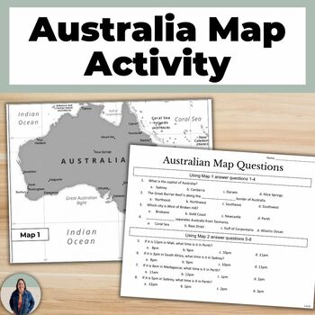
Australia Map Activity for Geography and Map Skills
Are you looking for a map skills activity? Then this is for you! These Australian map questions are great for helping all students access grade level content! Students are given two maps, one is a map of Australia and the second a map of time zones. They will answer 8 questions about the maps using their map skills. This is a no-prep activity! Just print, or show the maps on your classroom screen, and go! These Australia map questions can be used as a class activity, homework, or an assessment.
Grades:
8th - 11th
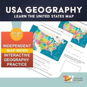
United States Geography Activity Worksheet print version
This is a great worksheet to give students an overview of the United States map. This works as an introduction or a review of the geography of the United States of America with an emphasis on states, borders, oceans and reading directions on a compass rose.Great for distance learning or remote learning as this is self-directed work. If you need this item in a format for Google Slides, please access that here.#TeacherToyShop #DistanceLearning #RemoteLearningYou may also be interested in t
Grades:
3rd - 8th
Also included in: United States Geography | Distance Learning
My Octopus Teacher - Movie Review. Writing Response
3 beautiful movie review templates for students to respond to the amazing documentary - My Octopus Teacher. Students can complete as homework or watch and report during class hours. Includes:1. Two general movie review organizers. Students complete one and report back about the movie, their learning and thoughts.2. One writing response movie review template. Students write and record their review of the movie.3. Research an ocean creature. Students watch a video about octopuses and fill in th
Grades:
4th - 12th, Higher Education, Adult Education
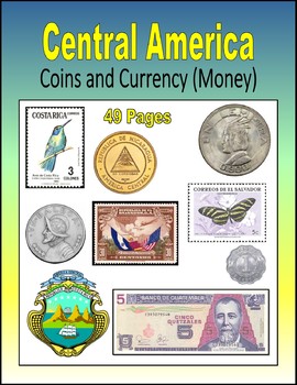
Central America - Coins and Currency (Money)
49 printable or digital pages to introduce your students to the coins, currency (paper money) and postage stamps of Central America: Belize, Costa Rica, El Salvador, Guatemala, Honduras, Nicaragua and Panama. Each page asks students to describe the words, pictures and numbers that they see on the stamp, coin or currency: centavos, centimos, colones, pesos, cents, dollars, cordobas, lempiras, quetzales.PRINT: I created a PDF version that you can download on your computer and print for students
Grades:
3rd - 10th
Early European Explorers to Arkansas
This is a worksheet/research sheet that students can use to learn more about Early Explorers to Arkansas. This pairs great with my De Soto video sheet. Students will learn about explorers to Arkansas and research several explorers. This also comes with an answer key. This is a great no-prep activity.
Grades:
4th - 12th
Types:
Ransom Notes: US Geographic Regions (Lesson 2)
Hey Teachers, Students, Home Schoolers, and Life Learners of every description, use these questions and activities along with the video lesson US Geographic Regions (https://bit.ly/3TlLeDz) aimed at helping students master the 8 US Geographic Regions.
Grades:
3rd - 12th
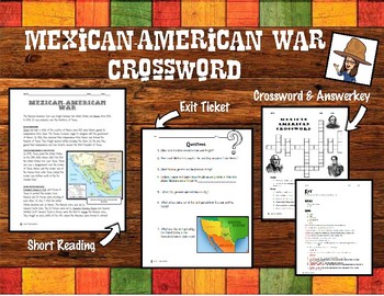
Mexican American War Reading and Crossword Puzzle
This is a very easy and enjoyable to review or introduce the Mexican American War. This product includes: -A short and easy reading -A crossword puzzle -An Exit Ticket/ Homework Questions-An Answer KeyEnjoy! :)
Subjects:
Grades:
4th - 12th
Honduras Word Search Puzzle - Honduras Independence Day - Honduras Word Search
The story behind this product : Honduras Independence from Spain came in 1821 and from Mexico in 1823, when Honduras joined in the formation of the United Provinces of Central America. Conservative and popular opposition to Liberal policies led to the collapse of the federation, and Honduras declared its absolute independence on November 5, 1838. This file contains 1 page of Honduras Word Search Puzzle with 50 Honduras Independence Day themed Words and 1 page with its solution.The 50 words are h
Subjects:
Grades:
3rd - 12th, Higher Education, Adult Education
Types:
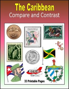
Compare and Contrast - The Caribbean
33 printable or digital pages about the Caribbean for students to compare and contrast: the Bahamas, Cuba, the Dominican Republic, Haiti, Jamaica, Puerto Rico and Trinidad and Tobago. Students notice and describe the similarities and differences between:two country's flags, two country's coat of arms, sports, birds, drums and guitars, hats and shirt, men and women, adults and kids, pirate ships and battleships, the sand and the ocean, volleyball and soccer, hiking and flying, food and drinks,
Subjects:
Grades:
3rd - 8th
Types:
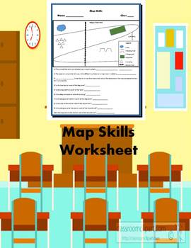
Map Skills Worksheet
You will receive one Map skills worksheet. The worksheet requires students to answer a question involving compass rose, scale and legend. Then it contains seven questions in which students have to tell the direction of a place on the map in relation to other places on the map.
Grades:
5th - 8th
Types:
Also included in: Map Skills Bundle (1 Crossword Puzzle & 1 Worksheet)
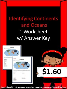
Identifying Continents & Oceans Worksheet w/ Answer Key
You will receive one worksheet in which students will find labels on continents and match them with their appropriate name.
Grades:
4th - 8th
Types:
Also included in: Continents & Oceans Bundle (2 Worksheets & 1 Word Search)
Showing 1-24 of 69 results


