5 results
Native Americans assessment images
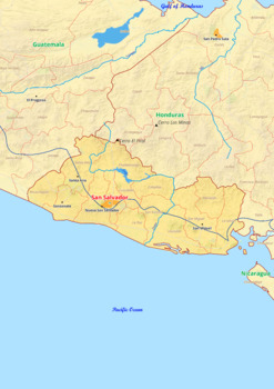
El Salvador map with cities township counties rivers roads labeled
El Salvador map with cities township counties rivers roads labeledEl Salvador map is a type of map that includes geographical features such as towns, communes, counties, rivers and roads. These features are labelled with their respective names, allowing the user to easily identify them.This type of map is useful for anyone wishing to explore the country or better understand its geography.This download contains files that may be printed and copied or used digitally._______________________________
Grades:
4th - 8th, Higher Education
Types:
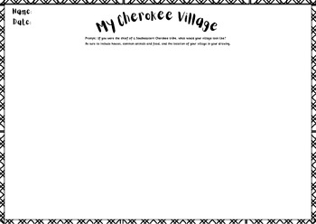
Create Your Own Cherokee Village Activity! *TNSS 3.19*
This resource is a fun way to bring creativity into your North American Indians unit! This activity can be used to assess student learning of the Indian tribes located in the southeastern region of United States.TN State Standard: 3.19 Compare and contrast the geographic locations and customs (i.e., housing and clothing) of the Northeast, Southeast, and Plains North American Indians
Grades:
3rd
Types:
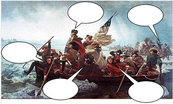
George Washington dialogue
Great for an intro activity or perhaps part of an exit procedure.
Grades:
5th - 12th
Types:
Showing 1-5 of 5 results

