17 results
5th grade asian studies poster microsofts
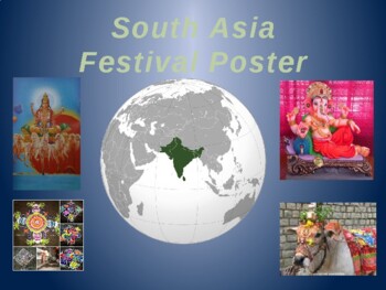
South Asia Festival Project
This is a simple Poster project that is a lot of fun. The Indian Sub-Continent is known for their festivals. It is said that on any given day their is a festival somewhere. This simple project allows the students to interact with this realty and exposes them to the diverse culture of South Asia. Student posters are presented to the class and then displayed in the classroom or in the hallway. In the classroom, these make some pretty awesome decorations but also a resource in your teachingIn th
Subjects:
Grades:
5th - 9th

Asian American and Pacific Islander Heritage Month Bulletin Board & Google Slide
Do you need a no-prep, interactive daily PowerPoint & Google Slides resource for Asian Pacific American Heritage Month and beyond? How about kid-friendly Asian American and Pacific Islander Heritage Month Bulletin Board biography posters to diversify your classroom or school walls? I know you want to save time planning all.the.things, so I made this slideshow with 100 slides PLUS 20+ accompanying posters to help you. I did everything for you - research, ready-to-go supplemental videos, quote
Grades:
3rd - 5th
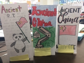
Ancient China Brochure
Students review everything they learned about Ancient China by creating a travel brochure. The lesson includes a brochure template with each labels for each topic to cover. Directions tell them specifically what to include in each section. The entire lesson is editable so you can adapt the topics to fit your textbook.
Grades:
5th - 8th
Types:
My Hometown TAIWAN (An introduction of Taiwan for International Fair)
Slides version: https://docs.google.com/presentation/d/1EnT1L5cfX8kaeQ8e6QTmRdyjloS-a9s8t85_JM8y9HU/copy
Subjects:
Grades:
PreK - 12th, Higher Education, Adult Education
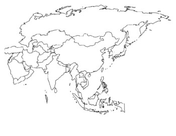
Global/U.S. - Maps Databank - Asia
33 pages of maps related to the continent of Asia. This databank of maps can be used for a variety of purposes depending on your lesson. Some examples of the types of maps included (but not limited to) are:- Political maps- Physical maps- Blank political maps- Vegetation Zone maps- Climate maps- Precipitation Rate maps- Satellite maps- Economic maps- Wealth / GDP maps- Resource / Land Use maps- Religion / language / ethnicity maps- Population density maps- Flag maps- Historical maps related to d
Grades:
1st - 12th, Higher Education, Adult Education, Staff
Asian American Pacific Islander Influential Person Profile
During the history of the United States there have been thousands of Asian Americans Pacific Islanders who have been pioneers and ground breakers in different fields including civil rights, education, arts & entertainment, government military, science and sports. Students will create a profile of one influential Asian American Pacific Islander. They can create their profiles on poster board, slideshows or using multimedia platforms. If students create a poster, these can be posted around
Grades:
5th - 8th
Types:
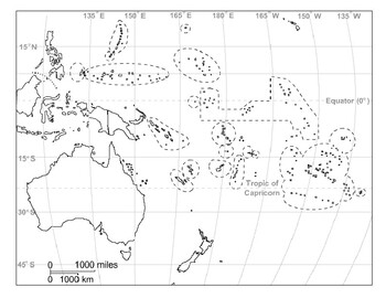
Global/U.S. - Maps Databank - Oceania / Australia
18 pages of maps related to the continent of Oceania / Australia. This databank of maps can be used for a variety of purposes depending on your lesson. Some examples of the types of maps included (but not limited to) are:- Political maps- Physical maps- Blank political maps- Vegetation Zone maps- Climate maps- Precipitation Rate maps- Satellite maps- Economic maps- Wealth / GDP maps- Resource / Land Use maps- Religion / language / ethnicity maps- Population density maps- Flag maps- Historical ma
Grades:
1st - 12th, Higher Education, Adult Education, Staff

Ancient China Invention Project
This is a project where students will research an Ancient Chinese Inventions. The project requires students to create a report, oral presentation, and poster. A rubric for the poster and oral presentation are included.
Subjects:
Grades:
5th - 8th
Ancient China: Visual Vocabulary
Ancient China: Visual Vocabulary
I use this PowerPoint as a resource when I teach about Ancient China. Students find pictures are useful for making sometimes abstract or unfamiliar terms clear and understandable.
The PowerPoint could also be printed out and the slides could be used as posters to decorate your walls!
Concepts Include:
Huang He River
Philosophy
Confucius
Legalism
Mandate of Heaven
Feudal System
And much more!
Grades:
5th - 12th
Also included in: Ancient China Bundle
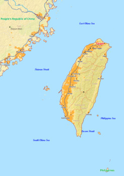
Taiwan map with cities township counties rivers roads labeled
Taiwan map with cities township counties rivers roads labeledTaiwan Asia map is a type of map that includes geographical features such as towns, communes, counties, rivers and roads. These features are labelled with their respective names, allowing the user to easily identify them.This type of map is useful for anyone wishing to explore the country or better understand its geography.This download contains files that may be printed and copied or used digitally.____________________________________
Grades:
4th - 8th, Higher Education
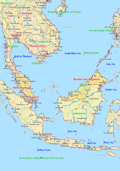
Malaysia map with cities township counties rivers roads labeled
Malaysia map with cities township counties rivers roads labeledMalaysia Asia map is a type of map that includes geographical features such as towns, communes, counties, rivers and roads. These features are labelled with their respective names, allowing the user to easily identify them.This type of map is useful for anyone wishing to explore the country or better understand its geography.This download contains files that may be printed and copied or used digitally.________________________________
Grades:
4th - 9th, Higher Education
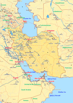
Iran map with cities township counties rivers roads labeled
Iran map with cities township counties rivers roads labeledIran Asia map is a type of map that includes geographical features such as towns, communes, counties, rivers and roads. These features are labelled with their respective names, allowing the user to easily identify them.This type of map is useful for anyone wishing to explore the country or better understand its geography.This download contains files that may be printed and copied or used digitally.________________________________________
Grades:
4th - 8th, Higher Education
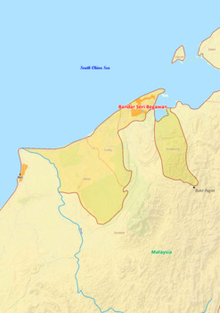
Brunei map with cities township counties rivers roads labeled
Brunei map with cities township counties rivers roads labeledBrunei Asia map is a type of map that includes geographical features such as towns, communes, counties, rivers and roads. These features are labelled with their respective names, allowing the user to easily identify them.This type of map is useful for anyone wishing to explore the country or better understand its geography.This download contains files that may be printed and copied or used digitally.____________________________________
Grades:
4th - 10th, Higher Education
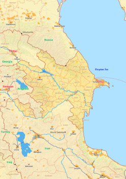
Azerbaijan map with cities township counties rivers roads labeled
Azerbaijan map with cities township counties rivers roads labeledAzerbaijan Asia map is a type of map that includes geographical features such as towns, communes, counties, rivers and roads. These features are labelled with their respective names, allowing the user to easily identify them.This type of map is useful for anyone wishing to explore the country or better understand its geography.This download contains files that may be printed and copied or used digitally.____________________________
Grades:
4th - 8th, Higher Education
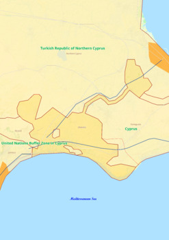
Dhekelia Cantonment map with cities township counties rivers roads labeled
Dhekelia Cantonment map with cities township counties rivers roads labeledDhekelia Cantonment Asia map is a type of map that includes geographical features such as towns, communes, counties, rivers and roads. These features are labelled with their respective names, allowing the user to easily identify them.This type of map is useful for anyone wishing to explore the country or better understand its geography.This download contains files that may be printed and copied or used digitally.__________
Grades:
4th - 9th, Higher Education
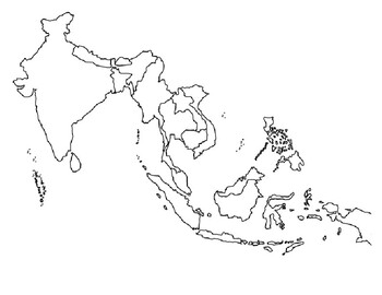
Global/U.S. - Maps Databank - Southeast Asia
11 pages of maps related to the region of Southeast Asia. This databank of maps can be used for a variety of purposes depending on your lesson. Some examples of the types of maps included (but not limited to) are:- Political maps- Physical maps- Blank political maps- Vegetation Zone maps- Climate maps- Precipitation Rate maps- Satellite maps- Economic maps- Wealth / GDP maps- Resource / Land Use maps- Religion / language / ethnicity maps- Population density maps- Flag maps- Historical maps relat
Grades:
1st - 12th, Higher Education, Adult Education, Staff
Types:
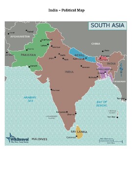
Global/U.S. - Maps Databank - India / Vietnam
15 pages of maps related to the nations of India and Vietnam. This databank of maps can be used for a variety of purposes depending on your lesson. Some examples of the types of maps included (but not limited to) are:- Political maps- Physical maps- Blank political maps- Vegetation Zone maps- Climate maps- Precipitation Rate maps- Satellite maps- Economic maps- Wealth / GDP maps- Resource / Land Use maps- Religion / language / ethnicity maps- Population density maps- Flag maps- Historical maps r
Grades:
1st - 12th, Higher Education, Adult Education, Staff
Types:
Showing 1-17 of 17 results


