26 results
12th grade geography activity interactive whiteboards
Livin’ La Vida Latina – Fun Facts about Spain Presentation in English
This 45 slide Spain Fun Facts Power Point in English is perfect for incorporating culture into your daily lessons. This best seller Spain presentation can be used as a virtual field trip, as daily warm-up activities or as a complete Spain unit. All of the Livin' La Vida Fun Facts presentations inspire students to make cultural comparisons and to think about dispelling cultural stereotypes. Use this presentation all at once to focus on Spain in a few mini lessons or for one complete Spain unit
Subjects:
Grades:
7th - 12th
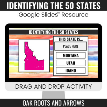
Identifying the 50 States : Google Slides™ Drag and Drop Activity
This product is a Google Slides™ resource. Students will drag and drop the correct state name to the box that says, "PLACE HERE." Each slide displays a different state and three options for students to choose from.You can assign this resource as an assignment to your students in your Google Classroom™. Students will complete the drag and drop activity and then turn it in through Google Classroom™. You will receive a ZIP file that includes a PDF file. There is a clickable link to the Google Slide
Grades:
3rd - 12th
Google form Video and Text in Spanish about Bananas / Exports / Types of Bananas
This is a 2 part lesson google form. It will take 45+ minutes. You could easily "chop" this google form into 2 (File --> Make a copy; then delete 1 half)The first part goes with a 7min Youtube video. The link is in the google form. The second part goes with a google slide lesson I made and posted in my shop titled "La comida Spanish Lesson about different types of Bananas"This is a super fun lesson for the end of the year when the students are having a hard time focusing. I do bring in BANANA
Subjects:
Grades:
5th - 12th, Higher Education, Adult Education
Also included in: BUNDLE Spanish Lesson Video Google Form Google slides BANANAS
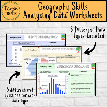
Geography Data Analysis Skills Work Booklet / Activities
Enhance your pupils’ geographical skills with a series of interpretation and analysis sheets and questions. This resource includes 8 PDF slides with corresponding questions all focused on a different data presentation method. Ideal for preparing your pupils for exams and revising analysis skills. The high quality slides include annotations, examples and five scaled-ability questions.The data presentation skills included in this resource are:Climate GraphsPopulation PyramidsChoropleth MapsScatter
Subjects:
Grades:
8th - 12th, Adult Education
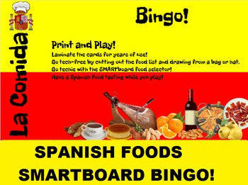
Spanish Food SMARTboard Bingo and SMARTboard Food Selector; Spain, Culinary
Spanish Foods Bingo and/or Famous Dishes Identification!
Practice reading, identifying foods, spelling, vocabulary, or just play for fun!
Included:
20 Different Bingo cards with 32 different Spanish dishes.
A low-tech food list to cut out and draw from a hat.
A SMARTboard food selector to bring in the technology; have students identify the dishes while you play bingo.
Try having a Spanish food tasting while you play!
French Food Bingo found here:
https://www.teacherspayteachers.com/Product
Subjects:
Grades:
7th - 12th, Higher Education, Adult Education
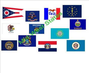
States and Capitals - Mid-West States
An interactive activity that provides your students a fun way to practice states, capitals, and abbreviations for the Mid-Western states. Great for social studies, center time, or mini-lessons. The Browns.
Grades:
2nd - 12th
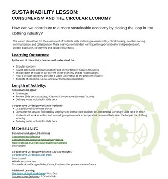
Sustainability Lesson: Consumerism and the Circular Economy
This full lesson plan facilitates the following learning outcomes: Circular economy, issues associated with sustainability and stewardship of natural resources, the problem of waste in our current linear economy and its repercussions, how a circular economy provides a viable alternative to the problem of waste, aspects of economic, social, and environmental cooperation.Includes all resources, links to videos, and worksheets (both printable and shareable through Google). With two lesson options p
Subjects:
Grades:
9th - 12th

Dred Scott Life Travel Mapping Activity
This is a chronology of Dred Scott's life. I had students draw on the locations of his movements on dry erase outline maps of the US. It is a short activity, taking about 20 minutes or so for my 8th graders, but it really helped them to understand how his life movement caused his court case. You could do this with regular paper copies as well. THIS DOES NOT COME WITH AN OUTLINE MAP--I can't provide because it would violate copyright. You can use with any US outline map.
Subjects:
Grades:
7th - 12th
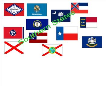
States and Capitals - Southern States
An interactive activity that provides your students a fun way to practice states, capitals, and abbreviations for the Southern states. Great for social studies, center time or mini-lessons. The Browns.
Grades:
2nd - 12th
Pays du Jour
French Smart Notebook project with the country of the day starting with Angola, Bangladesh and running through the alphabet. Includes video links with cultural dances, tourism videos and google street view for each of the 22 countries. After learning about each country there are 2 - 3 reflection questions. Projet sur Smart Notebook qui passe à travers de l'alphabet et présente un pays par jour. Les pays sont l'Angola, le Bangladesh, le Cambodge, le Danemark, etc. Chaque diapo inclus des vidéos d
Subjects:
Grades:
3rd - 12th
Types:
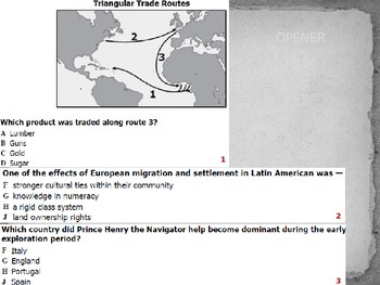
WHII.5 Global Trade Empires Unit - 4 Days of Presentations!
This presentation accompanies the Unit Plan and Materials (https://www.teacherspayteachers.com/Product/WHII5-Global-Trade-Empires-Unit-4-Days-Including-Unit-Plan-2126765). This presentation, along with the corresponding materials, will provide everything needed to teach a unit on Global Trade Empires that will help students master the Virginia SOL WHII.5. This PPT includes reading questions, visual organizers, instructions for activities, review questions, maps, and summarizing notes with visual
Subjects:
Grades:
8th - 12th
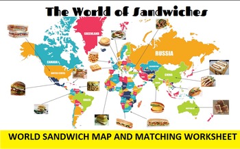
3 in 1: International Sandwich Bingo, SMARTboard Selector and Matching Worksheet
International Sandwich Bingo and/or SMARTboard Sandwich Identification PLUS Match the Sandwich to the Country Worksheet and Map!
Included:
20 Different Bingo cards with sandwich names and country names.
A low-tech list to cut out and draw from a hat.
A SMARTboard sandwich selector to bring in the technology; have students identify the sandwiches while you play bingo or just use the selector by itself for a fun bellringer game.
A World of Sandwiches map.
Match sandwiches to countries worksheet a
Grades:
6th - 12th, Higher Education, Adult Education

Guess the Country - Geography Flag Addition / with Facts!
Included is a fully functional Powerpoint of "Guess the Country" by Flag! Each country has a fact included with the answer for fun engagement! Also, at the end is a Guess the Country by Fact! My Students love this game, and it can be used in a variety of ways!
Grades:
6th - 12th
Jeopardy for US History 7th Grade New York Curriculum
This Jeopardy game is on Notebook software (for Smartboard)
The categories are:
1) Mapping
2) Aztecs and Incas
3) Gold, Glory, and God and Christopher Columbus
4) New England, Southern, or Middle Colonies
5) Miscellaneous (slave trade, triangular trade)
Great for a review day before a quiz or exam.
Grades:
6th - 12th
Types:
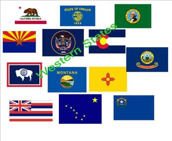
States and Capitals - Western States
An interactive activity that provides your students a fun way to practice states, capitals, and abbreviations for the Western states. Great for social studies, center time or mini-lessons. The Browns.
Grades:
2nd - 12th
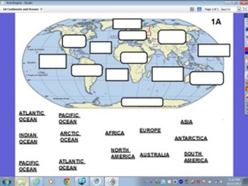
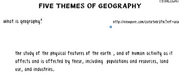
Five Themes of Geography w/ Formative Assessment- Social Studies Core Concept
The five Themes of Geography a Smart Notebook product that will provide teachers an interactive and cooperative learning activity to introduce the themes. Each page has the theme at the top, and then an area for students to show the their answers and space for them to be written on slide. Then the teacher is able to slide down the screen to see how similarly the students got to the themes definition. RECOMMENDATION: If are using an Interactive Notebook or a Note-Taking strategy, discuss with stu
Grades:
2nd - 12th
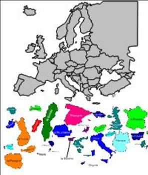
Une Famille en Or (Family Feud) L'Union Européenne (The E.U.)
This Smartnotebook activity features a map of Europe with drag-and-drop outlines of E.U. member countries, as well as a series of questions about when countries entered the EU. It is played along the rules of the famous Family Feud TV game show. The Smartnotebook file features pages with answers already revealed at the end that the teacher may print out to use as a guide while 'hosting' the game show.
Subjects:
Grades:
10th - 12th, Higher Education
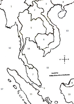
Southeast Asia Interactive Numbered Map, Smartboard, Interactive Map, ETC
This is another one my interactive maps. Open this file with paint on any computer and use with any smartboard, white board, polyvision board or eno board, etc. This a great numbered map of Southeast Asia that can be filled in with the "fill tool" in Paint. Also download the Worksheet Fill-in/follow-along. Another way to present the material is by printing copies of the map out and the students color in the map as you teach. This material can also be used with a projector on a wall with no s
Grades:
4th - 12th, Higher Education, Adult Education, Staff
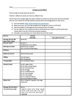
Life Around the World
A class activity to compare average net income and expenses in different countries around the world.
Subjects:
Grades:
4th - 12th

Geography - Mt. Everest foldable flipchart
This flipchart gives instructions and a visual model for the Mt. Everest foldable activity. Students will have to use outside sources to collect general information about Mt. Everest (Elevations, Cost, Sherpas, etc.). On the foldable itself, students will draw/attach several pictures, create a timeline, and draw the locations of the climbing camps, among other things.
Subjects:
Grades:
8th - 12th
Revolutionary War E-Notebook for Powerpoint / Terms, People, Maps, Study Guide
This is the digital version of my Revolutionary War Notes Packet (Version 1). This covers the American Revolution from the First Continental Congress to the surrender of Cornwallis at Yorktown and the Treaty of Paris (1783). Students will enjoy using this fun, colorful template to take notes on the War for America's Independence. Please make sure you check out the Revolutionary War Powerpoint Slideshow below:Revolutionary War Powerpoint Here!Revolutionary War Notes Packet (Version 1) HereRevolut
Grades:
5th - 12th

Smartboard Notebook: Put the Time Periods in their Proper Order
Students will rearrange time periods in order starting with the Stone Age up to the Information Age. They can check their answers to see if they are right.
Grades:
7th - 12th, Higher Education, Adult Education
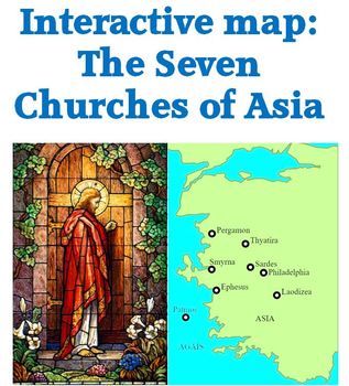
Interactive map of churches in Revelation 2 & 3
Interactive map of the 7 churches named in Revelations 2 and 3.
Mouse over the red triangle next to the circle locating the city and the corresponding scripture reference will pop up.
Mouse over the red triangle at the end of a city name for historical and modern information about that city.
Check out other geography and free products
World Geography: Human Impact Power Pont
Map of Paul's journeys freebie
Andean Mountain Geography 53 slide Power Point
Regions of the U. S. 63 slide Power Point
Subjects:
Grades:
4th - 12th, Adult Education
Showing 1-24 of 26 results


