14,782 results
Geography handouts by TpT sellers for TpT sellers
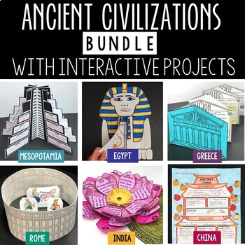
Ancient Civilizations Lessons, Activities, and Projects - Ancient History
This Ancient Civilizations Bundle includes 6 resources for teaching Mesopotamia, Ancient Egypt, Ancient China, Ancient India, Ancient Greece and Ancient Rome. Each resource includes learning activities to help students learn about each civilization’s geography, religion, achievements, politics, economy, and society. Designed to be engaging and interactive, these resources will make learning fun and exciting! Here’s a quick overview of each of the Ancient Civilization Resources: Ancient Mesopotam
Grades:
4th - 7th
Types:
CCSS:
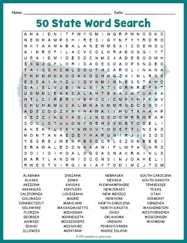
USA GEOGRAPHY Worksheet Activity - All 50 (Fifty) US States Word Search Puzzle
Review United States geography and have your students search for all 50 members of the Union with this challenging worksheet activity. Word search puzzles make great no prep activities for early finishers, bell ringers, morning work, handouts, homework, lesson plan supplements, sponge activities, introductions to new topics, and sub files.We consider this to be a challenging puzzle and it will require quite a bit of time to complete. Students will memorize the names of all fifty states withou
Subjects:
Grades:
4th - 7th
Types:
5 Themes of Geography Stations Activity | Five Themes of Geography Lesson
In this Five Themes of Geography stations and student activity, students analyze the five themes of geography (location, place, human-environment interaction, movement, and region) to understand how geographers study the world!This best-selling geography resource is included in the massive All Things Geography Bundle, as well as the American or the World History PLUS Curriculum!This lesson begins with students doing an introductory reading and activity on the five themes of geography. Then, stu
Grades:
5th - 9th
Types:
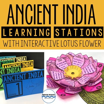
Ancient India Unit with Learning Stations and Interactive Project
This resource contains six ancient India learning stations that students can rotate through in small groups. Each learning station (or ancient history learning center) is designed to give students engaging and exciting learning experiences to practice, enrich, review, and enhance their learning. Students will visit each station with a small group and complete tasks and assignments. Check this out! Students will create a 3-D interactive lotus flower filled with their learning. They’ll add inform
Grades:
4th - 7th
Types:
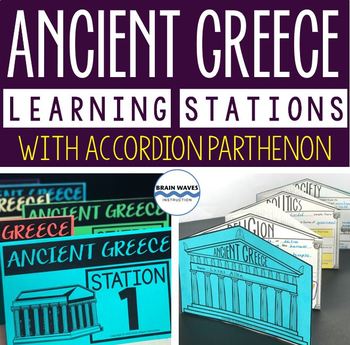
Ancient Greece Stations, Parthenon Accordion Book, Ancient Greece Activities
This resource contains six ancient Greece learning stations that students can rotate through in small groups. Each learning station (or center) is designed to give students engaging and exciting learning experiences to practice, enrich, review, and enhance their learning. Students will visit each station with a small group and complete ancient Greece activities. Here’s the fun part! During the learning stations, students will create an accordion book to showcase their learning. They’ll “build” f
Grades:
5th - 8th
Types:
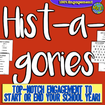
Histagories Social Studies End of Year Activity for US and World History
In this history review and conversation game, students are engaged with 8 short lists of information where they work with partners (or individually) to try to come up with answers based on the letter for the round. Included is a letter-choosing paper (students flip a coin and see where it lands!) plus 8 different lists geared toward History, Geography, Geology, and Social Studies themes! A condensed worksheet is also included to save space.Enjoy this fun way to spend the first few (or last few
Subjects:
Grades:
5th - 8th
Types:
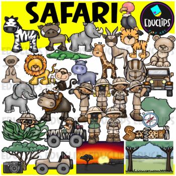
Safari Clip Art Set {Educlips Clipart}
We're on Safari! This set is packed with animals, kids and items you might need for a Safari. Images included are: buffalochimpmeerkatelephantzebrahippogiraffegazellelionlionesshippocrocodilevulturetigersafari kidsjeepscompasscamerabackpacktreemap of Africaevening and day time backgroundThis set contains all of the images shown.64 images (32 in color and 32 in B&W)Images saved at 300dpi in PNG files.For personal or commercial use.Download preview for TOU.This is a zip file. Before purchasing
Subjects:
Grades:
Not Grade Specific
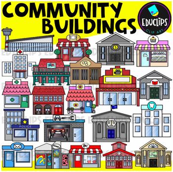
Community Buildings Clip Art Set {Educlips Clipart}
This is a set of buildings commonly found in the community. The buildings included in this set are: airportbakerybankcourthousedentistfirehousefloristgalleryhospitaljaillibrarymovie theatermuseumpharmacy or medical centerpolice stationpost officerepair shoprestaurantsalonschooltheaterThis set contains all of the images shown.42 images. (21 images in color and the same 21 images in B&W.)This set has been completely updated on 6/11/23Images saved at 300dpi in PNG files.For personal or commerci
Subjects:
Grades:
PreK - 6th
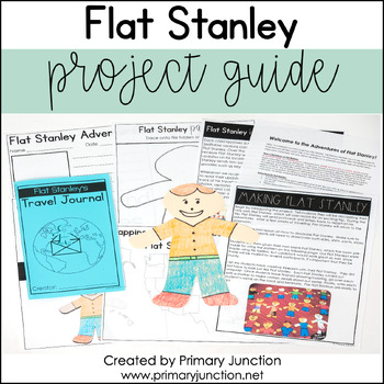
Flat Stanley Project Guide Template
Are you preparing to teach a unit on Flat Stanley with your class? Would you like to complete the Flat Stanley project with your class, but you’re not sure where to begin? Would you like to teach your students more about the world outside their town? If so, this Flat Stanley Project Guide has you covered!The Flat Stanley Project Guide contains everything needed to implement the Flat Stanley project in a classroom! Throughout the project, students will learn about cities, towns, states, and count
Subjects:
Grades:
2nd - 3rd
Types:
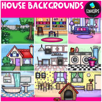
House Backgrounds Clip Art Set {Educlips Clipart}
Get creative with these colorful pictures of rooms in a house. Add people and/or other images to make them come to life! The set includes a living room, dining room, kitchen, bathroom, bedroom, laundry room, front of house, back yard, playroom and a dog house. This set contains all of the images shown.20 images (10 in color and the same 10 in B&W)Images saved at 300dpi in PNG files.For personal or commercial use.Download preview for TOU.©Educlips 2014Follow Educlips on FacebookFollow Educlip
Grades:
Not Grade Specific
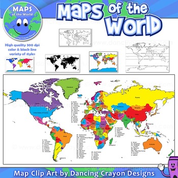
Maps of the World: Clip Art World Maps
Maps of the World: Clip Art World Maps
High quality color and black and white maps of the world.
This clipart map set contains the following commercial use graphics:
- Color maps of the world
- Black and white line art maps of the world
- Maps of the world with lines of latitude and without lines of latitude
- Maps of the world with larger countries labelled (color and black and white)
- Silhouette maps of the world
- A map of the world showing seven continents in color and black and white:
Grades:
3rd - 12th, Higher Education, Adult Education, Staff
Also included in: Maps of the World Clip Art - MEGA-BUNDLE
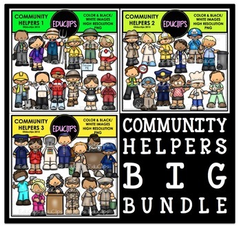
Community Helpers Clip Art Big Bundle {Educlips Clipart}
The sets in this collection were originally published in 2015. They have been consolidated into this one collection for convenience. Please don't purchase this if you already purchased any of the community helper sets.The images in each set are:Community Helpers 1businessman, business woman, farmer, fisherman, ranger, lifeguard, construction worker, waiter, ski guide, tour guide, waitress, oil workerCommunity Helpers 2detective, nurse, firefighter, doctor, mailman, garbage collector, crossing gu
Subjects:
Grades:
PreK - 5th, Staff
13 Colonies Regions New England, Middle, & Southern Colony Regions
In this 13 Colonies and Colony Regions activity, students compare the New England, Middle and Southern Colony Regions. Students read the included student-friendly article (either in a group, individually, or as a class), then fill in the details on the included graphic organizer. This serves as a great intro to the 13 Colonies, or as a great way to learn the varying characteristics of the New England, Middle, or Southern colony regions.This resource includes a paper in-class version and a 1:1
Grades:
5th - 8th
Types:
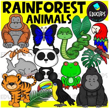
Rainforest Animals Clip Art Set {Educlips Clipart}
This is a set of animals of the rainforest.Images included in this set are:anacondaantgorillabutterflyorangutanpandaparrottoucanpiranhatigerred eyed tree frograinforest leaves32 images (16 in color and the same 16 in B&W)This set has been fully updated.Both the 2014 and 2024 versions have been included in this download.This set contains all of the images shown on the product cover image plus black and white versions of all of the images you can see. No other images are included. Images saved
Subjects:
Grades:
PreK - 2nd
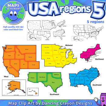
Regions of the USA: Five Regions - Map Clip Art
Regions of the USA: Five Regions - Map Clip Art
.............................................................................................
Please check the regions in this set before purchase. We offer a choice of THREE different US Region Map Sets:
USA divided into FOUR regions / NINE divisions (as set out by the United States Census Bureau)
USA divided into FOUR regions / TEN divisions (as taught in some states)
Please read on for more information about THIS region set:
............
Grades:
3rd - 12th, Staff
Also included in: Maps of the World Clip Art - MEGA-BUNDLE
Geography Unit for Maps, 5 Themes of Geography, Map Reading, Latitude Longitude
In this Geography Unit bundle, you receive 12 hands-on, engaging, and effective resources to teach the 5 themes of geography, map reading, map skills, and geography. This geography bundle was created to teach the whole range of geography: students learn how to read all different kinds of maps (climate maps, thematic maps, road maps), the five themes of geography, how to read latitude and longitude, and the locations of places all over the world! This bundle is priced to save you over 20% inste
Grades:
5th - 8th
Types:
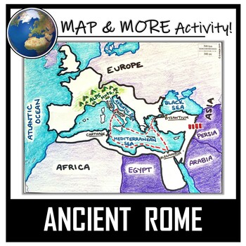
Ancient Rome Map Activity- Roman Empire (Label and Color!)
This Ancient Rome Map Coloring & Labeling Activity is a great resource to enhance your unit! Each student will make their own, personalized map of the Roman Empire, and learn about the geography and landmarks of the region. They will label and color their blank map, and answer follow-up questions related to the geography of Ancient Rome. A fun 'Make a Travel Brochure' project has also been added. It is a great way to connect this map activity to your lesson on Ancient Rome! A link to Goo
Grades:
4th - 11th
Types:
CCSS:
Also included in: Ancient Civilizations / World Maps BUNDLE- Color & Label Activities!
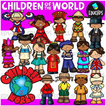
Children Of The World Clip Art Set {Educlips Clipart}
A collection of Children from different parts of the world: Africa, Brazil, Canada, USA, Germany, China, Holland, France, India, Italy, Japan, UK, Russia, Spain, Mexico and a 'Children Of The World' sign.These cartoon-like children are dressed in clothes that have some connection to their countries. This set has been designed for younger elementary children to give a brief, fun and colorful representation of each country.This is just a general set of images of children around the world. New imag
Grades:
PreK - 2nd, Staff
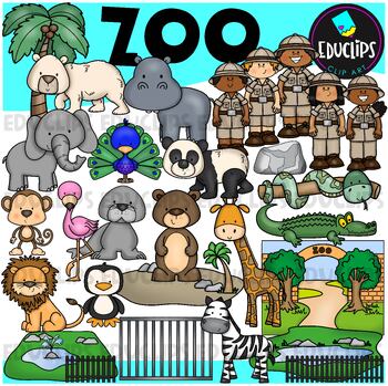
Zoo Clip Art Set {Educlips Clipart}
This is a set of zoo images.This set conatains all of the images shown on the product cover as well as B&W versions.The images in this set are:brown bearflamingopolar bearelephantpeacocksea lionpandasnakemonkeylionzebrapenguingiraffecrocodilerockenclosurescagetreezoo entrancezookeepersrailings58 images (29 in color and the same 29 in B&WThis set has been fully updated. All of the older images are included in this download.This set contains all of the images shown.Images saved at 300dpi i
Subjects:
Grades:
PreK - 6th, Staff
Introduction to Maps, Map Reading, Topography, and Geography Unit
In this maps skills and introduction to map reading, map features, and basic geography, students are introduced to the common elements that all maps have and a variety of different map styles, including climate maps, political maps, physical maps, road maps, topographic maps, and economic and resource maps! ✮✮ This resource is now Google 1:1 compatible! ✮✮Students first learn about map titles, keys, the compass, and the scale, then are engaged with learning about the variety of different maps
Grades:
4th - 7th
Types:
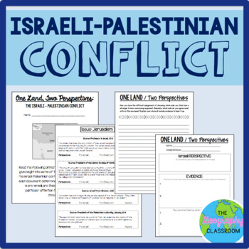
Israel Palestine Conflict History Set
This set includes several resources and activities to use when teaching the complicated Israeli-Palestinian conflict. This set includes:- A short reading on the "two-state solution"- Several primary source documents that help students understand the major issues preventing a two-state solution. As students read the documents, they have to decide whether each document has a pro-Israeli perspective, a pro-Palestinian perspective, or a neutral perspective. - 12 page PowerPoint slides for teachers t
Grades:
6th - 12th
Types:
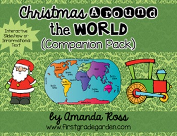
Christmas Around the World Interactive Slideshow or Informational Text
This is a companion pack to my best-selling "Christmas Around the World Scrapbook & Craft Pack".**Updated Sept. 12/16 -- slideshow is now 87 pages with 20 countries, including other winter holidays such as Kwanzaa, Diwali, and Hanukkah.**Updated Dec. 12/16 -- added an editable version of the slideshow pages so you may add your own countries. I will not be adding any more countries to the pack.**Updated Nov. 30/20 -- added a folder with separate PowerPoints for each country, to help with dist
Grades:
K - 3rd
Types:
Also included in: Christmas Around the World Bundle
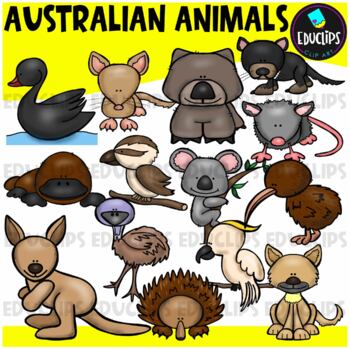
Australian Animals Clip Art Set {Educlips Clipart}
This set contains all of the images shown: animals found in Australia - bandicoot, black swan, cockatoo, dingo, echidna, emu, kangaroo, kiwi, koala, kookaburra, platypus, possum, tasmanian devil, wombat.14 images in color and the same 14 images in B&W.Images saved at 300dpi in PNG files.For personal or commercial use.CLICK HERE for TERMS OF USEThis is a zip file. Before purchasing, please check that you are able to open zip files and ensure that your zip opening software is updated.©Educlips
Subjects:
Grades:
PreK - 6th, Staff
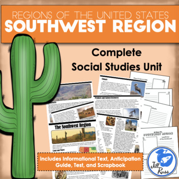
Regions of the United States: Southwest, Complete Unit (5 Regions)
Your students will enjoy reading this complex informational text about the Southwest region, home of the giant saguaro cactus, the Hoover Dam, and the Grand Canyon. This unit includes printable options only. If you would like a digital option using Google Drive, check out my Southwest Region Digital Only for Distance Learning with a Google Slides version of the reading text and questions, and a self-grading Google Forms version of the unit test, or get the bundle with both printable and digital
Subjects:
Grades:
3rd - 6th
Types:
Showing 1-24 of 14,782 results

