328 results
Adult education world history games by TpT sellers for TpT sellers
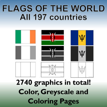
Flags of the World: 2740 World Flags - All 197 countries - Incl. Coloring Pages
Flags of the World: All 197 countries - 2740 graphics - Clip-art Set and Bonus PDF Document. Includes 197 colored flags that are identical in dimension to allow you to create uniform, clean looking resources!This clip art set contains 197 flags from around the world in both color, gray-scale and black and white outlined coloring pages. (A total of 2740 graphics!). A PDF document with the country name and large format flag is also included for easy printing and displaying.Every world flag is her
Grades:
PreK - 12th, Higher Education, Adult Education, Staff

Economics and History: Communism vs. Capitalism, the Rock, Paper, Scissors Game!
This highly interactive game gives students a hands-on, experiential understanding of the differences in between communism and capitalism. Students will learn more about the key components of communism, capitalism, and socialism.
Out of all of the activities that I do in my class, students probably have the most fun playing this game.
There is a reflection that follows the game, as well as a sheet that the students can fill out. After they have filled it out, allow for a discussion on the imp
Subjects:
Grades:
7th - 12th, Higher Education, Adult Education
Types:
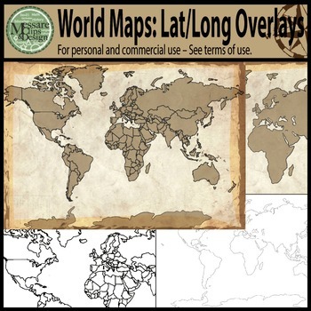
Maps: The World w/ Longitude & Latitude Overlays {Messare Clips & Design}
Sharpen your map skills!
This hugely diverse set of World Maps with Longitude and Latitude Overlays contains 25 individual high resolution graphics. All maps are shown in the thumbnail. There are 10 individual Latitude and Longitude Overlays that will provide you a wide range of uses.
There are two Latitude & Longitude scale variations used in the 10 overlays. One scale uses 30 degree intervals and the other uses 15 degree Latitude and 20 Degree Longitude intervals.
(Not all overlays de
Grades:
PreK - 12th, Higher Education, Adult Education
IMPERIALISM | Unit Test & Review Game | World History | Print & Digital
This 40-question test will assess your student’s knowledge of the Unit on New Imperialism in your secondary World History class. Questions include matching and multiple-choice. Key is included. Both print and Google Form are included.A jeopardy review game is also included. Fully editable PowerPoint. This product includes both a print and digital version compatible with Google Classroom. Both teacher and student directions are included. Simply share the resources with your students via Google o
Grades:
9th - 12th, Higher Education, Adult Education
Types:
Also included in: Imperialism | BUNDLE | World History | Secondary | Print & Digital
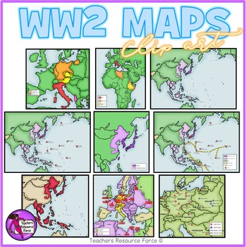
World War 2 Maps clipart
Get hold of this quality set of WW2 historical maps!Product includes:• Aggression in Africa• Aggression in Asia• Asia and the Pacific• Asia and the Pacific battles• Asia and the Pacific battles and allied advances• Expansion in Europe• Japanese expansion• Major battles in African and Europe• Nazi labor and death campsEach image is 300dpi png with transparent edges and closely cropped and each map comes in color as well as white and grey scale as seen in the previews.★ PSSSST: want to learn how t
Grades:
4th - 12th, Higher Education, Adult Education, Staff
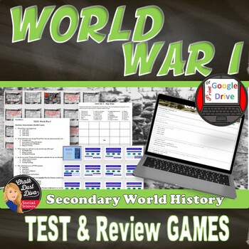
World War I | TEST & Review Games | World History | print & digital | WWI
This product includes a 35-question Test and two review games: “Who Wants to Be a Millionaire” and “Bingo” related to World War I. This will work well with any secondary World History class. Includes both print and digital versions of the test. This purchase includes:4-page Test (35 questions, multiple-choice and matching) KEY is included. PDF and WORD (editable) Includes print and Google Form2-page BINGO sheet with a list of 25 questions related to the test62-slide PowerPoint presentation BINGO
Subjects:
Grades:
9th - 12th, Adult Education
Types:
Also included in: World War I BUNDLE Unit | World History | Print & Digital | Grades 8-12
Europe Geography — Eastern & Western Europe Scavenger Hunt (Intro Activity)
This lesson is easy enough for 5th graders to understand yet works well with students up to grade 12. Modifications can be made as needed. Get the Scavenger Hunt Bundle and Save HereStudents will find this Eastern and Western Europe Scavenger Hunt activity fun and motivating, and it will encourage students to examine the physical, political, economic, and cultural characteristics of Eastern & Western Europe, along with the geographical themes. This is the perfect activity to introduce and be
Subjects:
Grades:
5th - 12th, Adult Education
Types:
Also included in: NEW! Geography Scavenger Hunt Bundle + 2 Freebies

Geography: Halloween Around The World
Need a fun, interactive Halloween geography and social studies activity, for ages 6th grade through high school? Study how different cultures celebrate and practice Halloween. This lesson is for you and can be adapted to both middle and high school classrooms. Your students will have a great time playing the Halloween Jeopardy Powerpoint game and learning about beliefs, values, practices, and customs around the world. Every moment is a teaching moment. Make each count!Includes:Detailed teacher i
Grades:
6th - 12th, Adult Education
Also included in: BUNDLE FOR ALICE
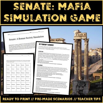
Senate: A Roman Society Simulation Game
Senate! Is a Roman take on the popular team building game Mafia. I typically use this activity to reinforce some of the vocabulary after students have learned about the structure of the Roman republic. It's also a lot of fun. The game is set in a Roman town during the early period of the Roman republic. Plebeians, consuls, a dictator, and an orator due battle against the conspiring Senate to restore peace to the town. The Senate is keen on "removing" their political rivals from the game.
Grades:
6th - 12th, Higher Education, Adult Education, Staff
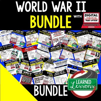
World War II BUNDLE, WWII (American History Bundle), Print & Digital
World War II BIG BUNDLE, Print & Digital Distance LearningWWII Part A: Dictators Threaten Peace, War in Europe, The Holocaust, America Moves Toward WarWWII Part B: Mobilization on the Home Front, The War for Europe and North Africa, War in the Pacific, Impact of the War This unit includes links to engaging resource in Dropbox and Google Format as well as direct PDF downloads. INCLUDED: World War II Unit Lesson Plan Guide, American History BACK TO SCHOOLWorld War II Game Cards (I Have, Who H
Grades:
6th - 12th, Higher Education, Adult Education
Types:
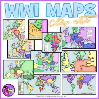
World War 1 maps clipart
Get hold of this quality set of WW1 historical maps!
Product includes:
• Germany fighting 2 war fronts
• Post WW1 Europe and Middle East areas lost
• Post WW1 Europe and Middle East
• The Schlieffen Plan
• WW1 Africa 1914
• WW1 Allied and Central Powers 1914
• WW1 Colonial Powers 1914
• WW1 Europe and Middle East 1914
• WW1 Europe
• WW1 World at War
Each image is 300dpi png with transparent edges and closely cropped and each map comes in color as well as white and grey scale as seen in the pre
Subjects:
Grades:
5th - 12th, Higher Education, Adult Education, Staff
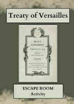
ESCAPE ROOM: The Treaty of Versailles - WWI - Primary Source Analysis - NO PREP
Let's face it....analyzing primary sources can be tough (and boring). Why not add an element of competition to it and make it FUN!!!In this activity, students will try to 'escape' by answering over 15 questions which require them to analyze various parts of the Treaty of Versailles in order to understand the terms, their long-term impact and catastrophic legacy.The activity is on a google form which can be edited to meet your specific needs and goals. Or, just post and go! No prep required!!!To
Subjects:
Grades:
7th - 12th, Higher Education, Adult Education
Types:
IRAN HOSTAGE CRISIS -- A "WHAT WOULD YOU DO?" HISTORY GAME / SIMULATION
IRAN HOSTAGE CRISIS - "What Would You Do?" Game **PLEASE TAKE A LOOK AT THE PRODUCT PREVIEW ABOVE**To learn more about my simulations and their structure, please watch this short video here.Welcome to my exciting Iran Hostage Crisis simulation! Immerse your students in the historical challenges of this tumultuous time, where they'll face six critical scenarios and make real-world decisions to deal with the conflict. With each choice, they'll step into the shoes of historical fig
Grades:
7th - 12th, Higher Education, Adult Education
Types:
NEW! Geography — Regions Simplified: Formal, Functional & Perceptual Regions
Please Note: The instructor/teacher will need to know and understand the concept of REGIONS as this is a concept difficult for young brains to grasp. Even though we simplify it for students, we will need to be ready to verbally or visually explain the concept. Not all students are ready for this high-level concept. This lesson simplifies it as much as possible, but the concept, no matter how simplified, still requires high-level thinking skills and teacher guidance. It takes practice to identif
Grades:
7th - 11th, Higher Education, Adult Education
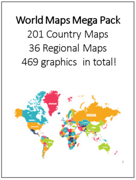
World Maps Mega Pack 201 Country Maps, 36 Regional Maps - 469 graphics in total!
This clip art set contains all 201 Country Maps and 36 regional maps color. Maps are in both PDF and JPEG format. These maps are perfect for educational projects and teaching resources. This comprehensive collection is ready to print.All map files have been named for convenience.Regional Maps:1. Africa2. Africa 23. Africa Political 19934. Africa Political 19955. Africa Political 19976. Africa Political 19987. Africa Political 20008. Africa Political 20019. Africa Political 200310. Arctic Regio
Grades:
3rd - 12th, Higher Education, Adult Education
World War I Jeopardy Review Game
This WWI Jeopardy is very effective for a test review session or a general, comprehensive lesson on the "War to End All Wars."
The game includes 50 questions in total, and covers every major event of the first world war. There is a Jeopardy and Double Jeopardy round, as well as a Final Jeopardy question. There are two PowerPoints included with this purchase.
Go to this URL to find this lesson along with several others in a discounted bundled unit on WWI: http://www.teacherspayteachers.com/Pr
Grades:
7th - 12th, Higher Education, Adult Education
Types:
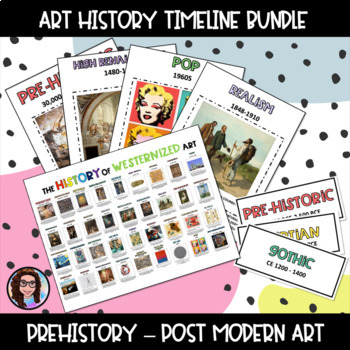
History of Art Timeline
** Update for July 2023. Hi teachers, it has come to my attention that this product had spelling errors. These errors have been corrected. I also included a PowerPoint of the poster with video links for all of the movements featured in the poster as a bonus. These videos are not mine and are not mentioned in the product. I hope this is helpful; please let me know if I can help you with this product.What's new in 2023-Movement tags (To create a timeline)-Individual movement posters (over 40 A4-s
Subjects:
Grades:
1st - 12th, Higher Education, Adult Education
BINGO: US Presidents (100+ printable boards, caller's sheets, and markers)
PRINT AND PLAY!Print as many unique game boards as you want (up to 100).Print and cut as many markers as you'd like, or use pieces of paper, supplies, dobbers, markers, or chips.Use the provided questions sheet to play multiple unique games. Ask one question, or ask many to help your students along.This set will play multiple unique games! It contains 100 bingo boards and over 400 questions (over 10 each per president) to ask your students.Play short, long, or unique games.A rule guide is provid
Grades:
4th - 12th, Higher Education, Adult Education
Types:
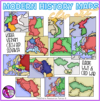
World War 2 and The Cold War Modern History Maps
Get hold of this quality set of modern History maps for the late 20th Century including WW2 and The Cold War. Product includes:• Europe after World War II that is colored to show the countries that were Soviet satellites.• Germany 1948-49• Berlin 1948-49• North & South Korea• North & South Vietnam• Yugoslavia as a nation • Yugoslavia as separate countries#• Czechoslovakia• Czech Republic & Slovakia• Blown up view of Berlin to show the occupational zones within the city.• Map of Europ
Grades:
4th - 12th, Higher Education, Adult Education
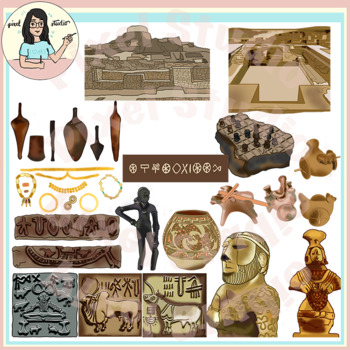
Ancient Civilizations: Indus Valley, Mohanjo Daro, Harappa Clip Art
Included here are 32 images of Indus Valley/Saraswati Valley Civilization - Mohanjo Daro and Harappa artifacts, architecture, cultural and lifestyle objects. The clipart has lot of authentic details!Your product/worksheet/presentation is going to standout!The images have 300 dpi resolution and are at least 8 inches in length at the longest edge. The images scale well without losing quality.There are 16 colored images, and 16 black line art.You will get: * The Board Game at Indus Valley made of S
Grades:
4th - 12th, Higher Education, Adult Education, Staff
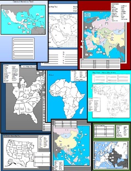
World Map Tests
12 World Map Tests included in this packet covering United States, Central America, South America, Western Europe, Central Europe, Middle East, and the Pacific Rim. This packet includes blank study maps, Tests, and Keys.
Grades:
5th - 12th, Higher Education, Adult Education
1918 SPANISH FLU EPIDEMIC -- A "WHAT WOULD YOU DO?" HISTORY GAME / SIMULATION
THE 1918 SPANISH FLU EPIDEMIC - "What Would You Do?" Game **PLEASE TAKE A LOOK AT THE PRODUCT PREVIEW ABOVE**To learn more about my simulations and their structure, please watch this short video here.Welcome to my exciting 1918 SPANISH FLU EPIDEMIC game! Immerse your students in the historical challenges of this tumultuous time, where they'll face six critical scenarios and make real-world decisions to deal with the crisis. With each choice, they'll step into the shoes of histo
Grades:
7th - 12th, Higher Education, Adult Education
Types:
THE MONGOL INVASIONS -- A "WHAT WOULD YOU DO?" HISTORY GAME / SIMULATION
THE MONGOL INVASIONS - "What Would You Do?" Game **PLEASE TAKE A LOOK AT THE PRODUCT PREVIEW ABOVE**To learn more about my simulations and their structure, please watch this short video here.Welcome to my exciting THE MONGOL INVASIONS game! Immerse your students in the historical challenges of this tumultuous time, where they'll face six critical scenarios and make real-world decisions to deal with the crisis. With each choice, they'll step into the shoes of historical figures, l
Grades:
7th - 12th, Higher Education, Adult Education
Types:
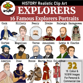
16 Famous Explorers History Clipart Set -color and Black and White (32 images)
This is a bundle of clipart images of important and famous Explorers in history in a realistic style.This collection contains 16 portrait color images of famous explorers (as in the preview), 16 in B&W of the same images.Also included are the same images in B&W with the composer’s nametag. This is perfect for creating worksheets or assignments.Portraits of famous explorers included:1. Americo Vespucio2. Bartolomeu Dias3. Captain James Cook 4. Christopher Columbus5. Daniel Boone6. Ferdina
Grades:
4th - 12th, Adult Education, Staff
Showing 1-24 of 328 results


