12 results
Geography Common Core RI.4.9 microsofts
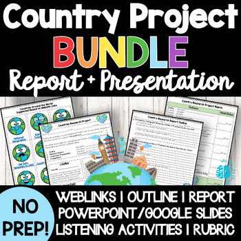
COUNTRY RESEARCH PROJECT BUNDLE Report PowerPoint Presentation Around the World
***BUNDLE & SAVE!*** Easily incorporate THEMATICALLY RIGOROUS LEARNING into your classroom routine with this no-prep, print-and-go, 22-page Countries Around the World Online Research Project for Middle Grades (Grades 4-8) Unit. In this Countries Research Project, students will be assigned or choose a country. They will research the land, people, a current event, and compare/contrast their own traditions to that country using a variety of provided internet sources. They will use the informati
Subjects:
Grades:
3rd - 12th
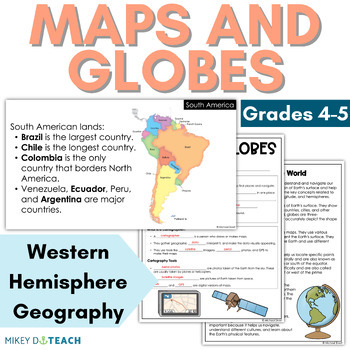
Maps and Globes - Geography of the Western Hemisphere - Latitude Longitude
Are you in need of a fun and engaging lesson plan and activities for the geography of the Western Hemisphere? Help your students learn all about latitude and longitude, the four hemispheres, the Arctic and Antarctic Circles, the North and South Pole, and more. This unit includes two lessons that come with an interactive PowerPoint presentation and guided notes.Lesson 1 is a 2-day unit about maps, globes, hemispheres, latitude, longitude, circles, and poles.Lesson 2 is a 1-day unit about major pl
Subjects:
Grades:
4th - 5th
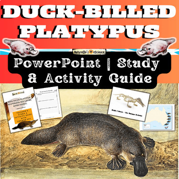
Platypus PowerPoint with Activity and Study Guide
Get ready to explore the world of the Duck-billed platypus, one of the most bizarre and mysterious mammals in the world from eastern Australia and Tasmania. Platypus facts include that they sport a tail like a beaver, bill and feet like a duck, and lay eggs like a bird! Platypuses give birth to furless babies called puggles. What's Included:One Quick Start GuideOne 23-slide animated PowerPoint (both PPTX and PDF file types)One 20-page fillable student activity and study guideOne 26-page EDITABLE
Subjects:
Grades:
3rd - 8th
NGSS:
4-LS1-1
, MS-LS1-4
, 4-LS1-2
NYCDOE Passport S.S. Grade 4 Unit Plan Unit: 1 The Geography of NY State
This Grade 4 Unit Plan includes Essential Questions, CCSS, Vocabulary, Skills, Evaluation, Performance Task, Teaching Points with a Focus Question, Content Understandings, and Learning Experiences for every lesson, Enrichment Activities, Ell's and IEP opportunities, and Multiple Entry Points for: Unit 1: The Geography of New York State
Subjects:
Grades:
4th
Types:
Also included in: Passport SS GRADE 4 (ALL 5 UNITS) (5) Unit Plans & (52) Lesson Plans
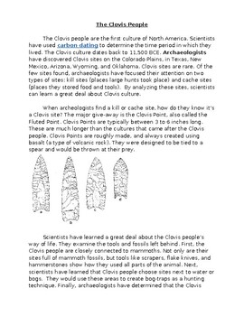
Paleo Indians: Clovis, Folsom, Plano, Close Reading with Comprehension #2
Aligning with Colorado History standards, these texts take a closer look into the similarities and differences of the Clovis, Folsom, and Plano people. The texts analyze how the groups' daily lives and traditions, as well as technologies and resources changed over time.These texts can be used in conjunction with the overview text, named Paleo Indians: Clovis, Folsom, Plano, Close Reading with Comprehension #1 in my class store.
Grades:
3rd - 6th
Types:
Music Passport: South Africa
Take your class on a trip around the world with Changing Meter's interactive MUSIC PASSPORT! Learn about native instruments, language, culture, and folk songs from 8 diverse nations. Each nation can be taught as a stand-alone lesson or you may combine multiple lessons for a multi-week unit.All 8 Music Passport Nations:South AfricaJapanMexicoIsraelRussiaIrelandIndiaUnited States***Get All the lessons, plus a PDF passport for students in the Music Passport Bundle***South Africa lesson includes:1.
Subjects:
Grades:
3rd - 4th
Also included in: Music Passport Bundle
NYCDOE Passport to S.S. Grade 4 Unit 1: Geography of New York State Lesson #9
This is a Grade 4 complete and detailed lesson plan covering all of the components from the NYCDOE Passport Social Studies Program. In addition, I have added; student learning targets, vocabulary preview, additional questioning, and ENL/IEP support. Unit 1: Geography of New York State Lesson #9
Grades:
4th
Types:
Also included in: Passport SS GRADE 4 (ALL 5 UNITS) (5) Unit Plans & (52) Lesson Plans
NYCDOE Passport to S.S. Grade 4 Unit 1: Geography of New York State Lesson #10
This is a Grade 4 complete and detailed lesson plan covering all of the components from the NYCDOE Passport Social Studies Program. In addition, I have added; student learning targets, vocabulary preview, additional questioning, and ENL/IEP support. Unit 1: Geography of New York State Lesson #10
Grades:
4th
Types:
Also included in: Passport SS GRADE 4 (ALL 5 UNITS) (5) Unit Plans & (52) Lesson Plans

NYCDOE Passport to S.S. Grade 4 Unit 1: Geography of New York State Lesson #11
This is a Grade 4 complete and detailed lesson plan covering all of the components from the NYCDOE Passport Social Studies Program. In addition, I have added; student learning targets, vocabulary preview, additional questioning, and ENL/IEP support. Unit 1: Geography of New York State Lesson #11
Grades:
4th
Types:
Also included in: Passport SS GRADE 4 (ALL 5 UNITS) (5) Unit Plans & (52) Lesson Plans

Cultural Heritage Project
Students will complete an at home project that will help them understand their own family history. They will then share information about their family with the class and learn about their classmates through short presentations.
Grades:
4th - 6th
Types:

Ancient Civilizations Venn Diagram
This product includes two pages for students to compare and contrast the Inca, Mayan, and Aztec civilizations. The first page is a triple venn diagram and the second is a table. I used this in my classroom along with National Geographic videos and articles that I found about the civilizations on the internet. It can be used as independent work or even as group work. I had students complete this individually and then discuss with a group their findings. As a group they posted a large triple diagr
Grades:
4th - 10th
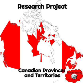
Canadian Provinces and Territories
Google Slides template formatted for students to input information found through independent research about the Canadian provinces and territories. Further assessment can be done through oral and visual presentations.
Grades:
4th - 6th
Showing 1-12 of 12 results


