664 results
Geography activboard activities
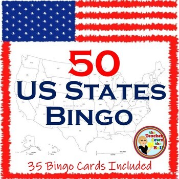
US Bingo I Know the 50 States Group Activity w/ 35 Bingo Cards!
Need a fun way to review the 50 States? Print the Bingo Cards, and show the slides!! Students will see: the shape of each state, where it is located in the US, its state flag, and its state motto.Their job is to identify it and cover it on their Bingo Cards! A great review and there are enough slides to play at least twice. Then play a game where students race each other to identify the states. Both games are great reviews of our US states! **************************************************
Grades:
4th - 7th
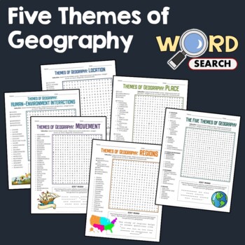
5 Themes of Geography, Terms Word Search Puzzle Activity Bundle Worksheets
This word search puzzle worksheet is perfect if you need something to keep your students occupied. This worksheet will help your students learn more and improve their vocabulary.After searching for the words, your students should be able to solve the secret message by filling out the blanks with the unused letters. The words are hidden in various directions - horizontally across or backward, vertically up or down, diagonally up, down or backward. Some words will also overlap or intersect, which
Grades:
4th - 7th
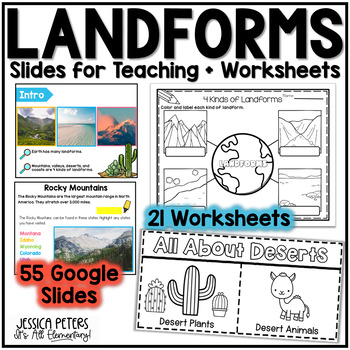
Landforms | Mountains Valleys Deserts Coasts Activities, Slides & Worksheets
Landforms Activities including Flip Books, Google Slides lessons, and worksheets to learn Mountains, Valleys, Deserts, and Coasts - This is an interactive Google Slides Lesson (55 slides) with 21 accompanying B&W printable worksheet activities. Google Slides include the following:14 slides to teach Mountains8 slides to teach Valleys13 slides to teach Deserts15 slides to teach CoastsGraphic Organizer to Show All LandformsThis product includes a Google Slides file that can be used for teaching
Subjects:
Grades:
K - 2nd
Georgia Social Studies | Me on the Map | City, County, State, Country, Continent
My Place on the Map - lessons for identifying and locating city, county, state, country, and continent - This geography unit is an interactive Google Slides Presentation (76 slides) with 18 accompanying B&W printable worksheet activities.This product is ideal for the early grades. This product includes an interactive Google Slides file that requires no extra materials for students to complete, though I have included black & white printable worksheets to go along with the slides. I plan t
Subjects:
Grades:
K - 3rd
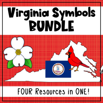
Virginia State Symbols Bundle - Cardinal, Dogwood, Capitol, Flag (SOL 1.12)
Teach your first grade students about Virginia's state symbols: the Virginia capitol building, dogwood (state flower), cardinal (state bird), and the Virginia state flag! This bundle includes printable posters with images and vocabulary, fill-in-the-blank activities, student books, a graphing activity, and an I Spy interactive board activity. 1.12 The student will recognize the symbols and traditional practices that honor the Commonwealth of Virginia by a. identifying the Virginia flag, sta
Grades:
1st
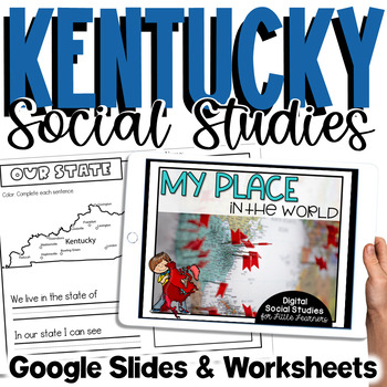
Kentucky Social Studies | Me On the Map |City, County, State, Country, Continent
My Place on the Map - lessons for identifying and locating city, county, state, country, and continent - This is an interactive Google Slides Presentation (76 slides) with 18 accompanying B&W printable worksheet activities.This product is ideal for the early grades. This product includes an interactive Google Slides file that requires no extra materials for students to complete, though I have included black & white printable worksheets to go along with the slides. I plan to teach these l
Subjects:
Grades:
K - 3rd
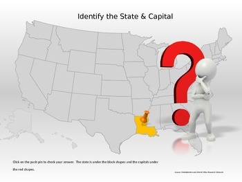
50 States & Capitals Interactive Power Point
Students can practice their 50 states and capitals, locations and abbreviations in this interactive Power Point. If the student does not know the state, they can click to reveal the abbreviation of the state for a second guess.This would be great for a whole class game, small group, or individual practice.
Grades:
4th - 7th
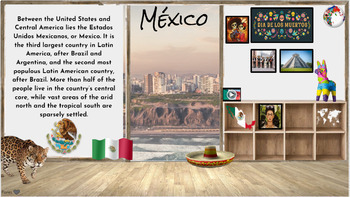
Hispanic Heritage Month~ Virtual Field Trip to Spanish Speaking Countries
I have collected a comprehensive collection of resources, activities, and read alouds intended to celebrate Hispanic Heritage through virtual field trip to each country. These animated Google Slides are great for online, in-person class learning and/or communication. This is an awesome way to keep your audience engaged and allows students of all levels to access. Also a great resource to share with parents to encourage/engage students in reading at home. Currently there are over 50+ resources li
Grades:
PreK - 5th
Types:
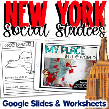
New York Social Studies | Me On the Map |City, County, State, Country, Continent
My Place on the Map - lessons for identifying and locating city, county, state, country, and continent - This is an interactive Google Slides Presentation (76 slides) with 18 accompanying B&W printable worksheet activities.This product is ideal for the early grades. This product includes an interactive Google Slides file that requires no extra materials for students to complete, though I have included black & white printable worksheets to go along with the slides. I plan to teach these l
Subjects:
Grades:
K - 3rd
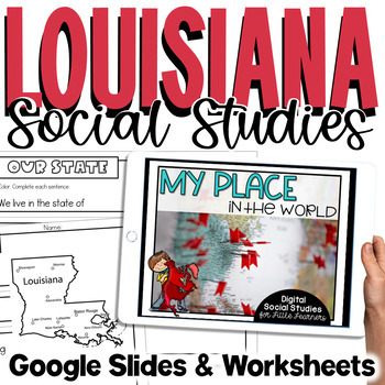
Louisiana Social Studies | Me On the Map | City, Parish, State, Country, Cont
My Place on the Map - lessons for identifying and locating city, parish, state, country, and continent - This is an interactive Google Slides Presentation (76 slides) with 18 accompanying B&W printable worksheet activities.This product is ideal for the early grades. This product includes an interactive Google Slides file that requires no extra materials for students to complete, though I have included black & white printable worksheets to go along with the slides. I plan to teach these l
Subjects:
Grades:
K - 3rd
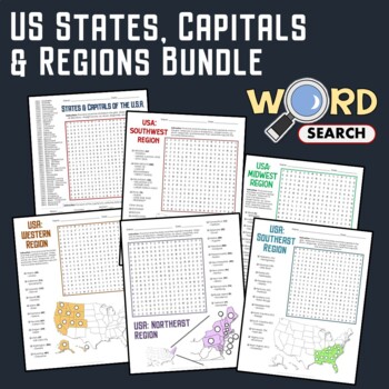
US Regions, States, Capitals Matching Geography Word Search Puzzle Bundle
Keep your students busy with this United States Geography word search. This is a good activity to help develop their knowledge about the states, capitals, regions, and geography of the USA.The words are placed in various directions - horizontally across or backward, vertically up or down, diagonally up, down, or backward. Some words will also overlap or intersect, which makes the puzzle more fun.You can use this as homework or extra work to be done in the classroom.Contents of this BundleHere's
Grades:
4th - 7th
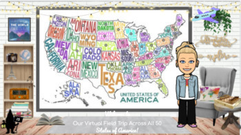
Travel the 50 States: Resources & Activities
This is United States Resource is a visually appealing, highly engaging, and completely editable resource with everything needed to research and study each of the 50 states. All videos are youtube.embeded or video.link so they are safe for students to access independently. This interactive google slide show can be used as a school resource, guided or independent learning or shared with parents to encourage/engage students learning at home. Best of all, this resource will continue to grow as I a
Subjects:
Grades:
K - 5th
Types:
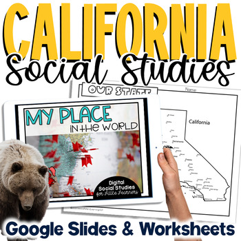
California Social Studies | Me on the Map | City, County, State, Country, Cont
My Place on the Map - lessons for identifying and locating city, county, state, country, and continent - This is an interactive Google Slides Presentation (76 slides) with 18 accompanying B&W printable worksheet activities.This product is ideal for the early grades. This product includes an interactive Google Slides file that requires no extra materials for students to complete, though I have included black & white printable worksheets to go along with the slides. I plan to teach these l
Subjects:
Grades:
K - 3rd
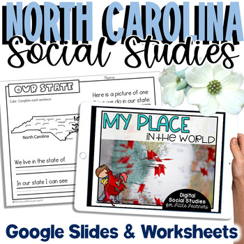
North Carolina Social Studies | Me On the Map |City, County, State, Country, Con
My Place on the Map - lessons for identifying and locating city, county, state, country, and continent - This is an interactive Google Slides Presentation (76 slides) with 18 accompanying B&W printable worksheet activities.This product is ideal for the early grades. This product includes an interactive Google Slides file that requires no extra materials for students to complete, though I have included black & white printable worksheets to go along with the slides. I plan to teach these l
Subjects:
Grades:
K - 3rd
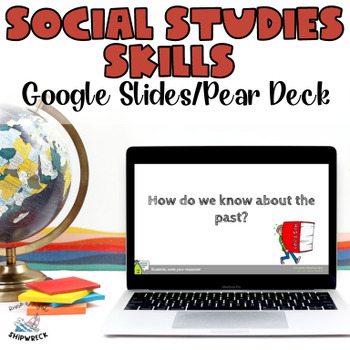
Middle School Geography Timeline Map Skills Interactive Google Slides Pear Deck
Introduce your students to essential social studies skills with this interactive and engaging Pear Deck lesson on Geography, Timelines, and Primary and Secondary Sources! This Google Slides presentation includes mixed-level questions to guide instruction, and students will practice important ELA skills such as identifying and applying domain-specific vocabulary, composing clear written responses, and other writing and reading comprehension skills. This lesson is perfect for whole group instructi
Grades:
6th - 8th
Types:
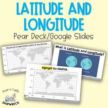
Latitude and Longitude Map Geography Skills Google Slides Pear Deck
Improve your students' map skills with these interactive and engaging Pear Deck slides! Teach your students how to identify lines of latitude and longitude, the Equator, and the Prime Meridian with ease. These slides are a great addition to your geography lesson plans, and can be used as a formative assessment or review activity. The slides come with a brief video tutorial to explain these concepts, followed by an activity where students will pin and label locations on a map using either Google
Grades:
6th - 8th
Types:
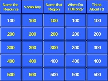
5th Grade History Alive Chapter 3 Jeopardy (Native Americans)
This is an easy to navigate Jeopardy PowerPoint used to review the content presented in Chapter 3 (Native American Cultural Regions) of History Alive: America's Past.
Thank you for viewing!
Ronda Wilson
Grades:
5th
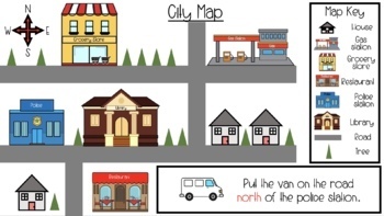
Map Skills & Cardinal Directions Google Slides
These slide are packed full of interactive map activities. It includes the following slides.1 Definitions page1 Fill in the compass rose4 Holiday follow the cardinal directions4 use cardinal directions on a map4 map key questions3 map questions3 Fairytale use the arrows to find the wayThese slides meet many of the geography standards for elementary students.
Subjects:
Grades:
PreK - 2nd
Types:
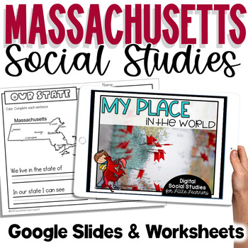
Massachusetts Social Studies | Me On the Map | City, County, State, Country, Con
My Place on the Map - lessons for identifying and locating city, county, state, country, and continent - This is an interactive Google Slides Presentation (76 slides) with 18 accompanying B&W printable worksheet activities.This product is ideal for the early grades. This product includes an interactive Google Slides file that requires no extra materials for students to complete, though I have included black & white printable worksheets to go along with the slides. I plan to teach these l
Subjects:
Grades:
K - 3rd
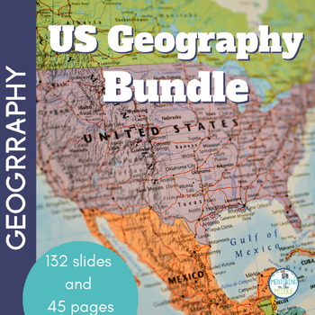
U.S. Geography with BOOM Cards - Social Studies - Map Skills Activities
Your 4th, 5th, 6th, and 7th grade students will enjoy reviewing and learning from the geography of the United States with this all-encompassing Social Studies bundle. Use this as a preview to see what students know, as a review to see what they've learned, or as an active learning and planning unit about the U.S.A.With this US Geography bundle, your students will:Practice and review geography vocabularyIdentify locations of statesIdentify state abbreviations and capitals Determine locations of
Grades:
4th - 7th
CCSS:
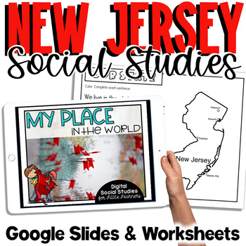
New Jersey Social Studies | Me on the Map | City, County, State, Country, Contin
My Place on the Map - lessons for identifying and locating city, county, state, country, and continent - This is an interactive Google Slides Presentation (76 slides) with 18 accompanying B&W printable worksheet activities.This product is ideal for the early grades. This product includes an interactive Google Slides file that requires no extra materials for students to complete, though I have included black & white printable worksheets to go along with the slides. I plan to teach these l
Subjects:
Grades:
K - 3rd
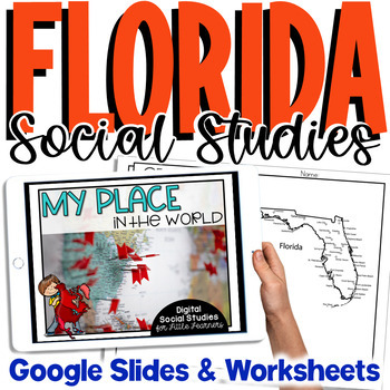
Florida Social Studies | Me on the Map | City, County, State, Country, Continent
My Place on the Map - lessons for identifying and locating city, county, state, country, and continent - This is an interactive Google Slides Presentation (76 slides) with 18 accompanying B&W printable worksheet activities.This product is ideal for the early grades. This product includes an interactive Google Slides file that requires no extra materials for students to complete, though I have included black & white printable worksheets to go along with the slides. I plan to teach these l
Subjects:
Grades:
K - 3rd
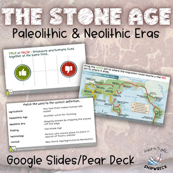
Stone Age Paleolithic Era and Neolithic Era Interactive Google Slides Pear Deck
Dive into the fascinating world of the Stone Age with these interactive Pear Deck slides! Explore the evolution of human civilization through topics such as hunter-gatherer societies, early human migration, technological advancements, and the transition to agriculture. Delve into the lifestyles, tools, and innovations that defined the Paleolithic and Neolithic eras. Engage students in active learning as they participate in discussions, analyze primary sources, and explore the significance of ar
Subjects:
Grades:
6th - 8th
Types:
Also included in: Early Humans Stone Age BUNDLE Pear Decks, Google Docs, and more!
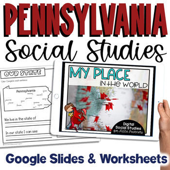
Pennsylvania Social Studies | Me On the Map | City, County, State, Country, Cont
My Place on the Map - lessons for identifying and locating city, county, state, country, and continent - This is an interactive Google Slides Presentation (76 slides) with 18 accompanying B&W printable worksheet activities.This product is ideal for the early grades. This product includes an interactive Google Slides file that requires no extra materials for students to complete, though I have included black & white printable worksheets to go along with the slides. I plan to teach these l
Subjects:
Grades:
K - 3rd
Showing 1-24 of 664 results

