1,051 results
Middle school geography outlines for Montessori
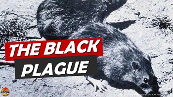
Bubonic Plague The Black Death PowerPoint Slides Outline Notes & YouTube Videos
This was recently re-mastered to be AWESOME! This PowerPoint has some fantastic visuals of the black death/bubonic plague. It also shows the spread of the disease throughout Medieval/Feudal Europe with a great map. There are several key questions that encourage discussion. This PowerPoint is sure to grab your student's attention!The last slide has 2 YouTube links from the History Channel, including a fun song that my class thought was hilarious.We also have an Oh Rats! Black Death storyboard pos
Grades:
5th - 9th
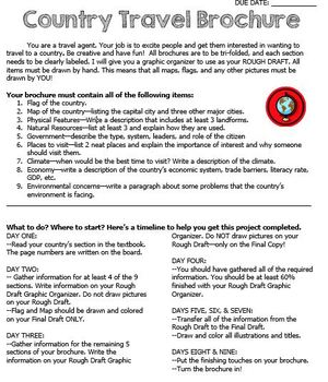
Country Travel Brochure Project
This is a fun project activity where students create a travel brochure for a chosen (or teacher-assigned) country. This project works well because the students know exactly what information that they need and where to put it on the brochure. It makes researching so much easier for everyone! There are directions, a brainstorm sheet, and a rough draft graphic organizer. I like the students to complete the final draft on large white construction paper, but the rough draft graphic organizer could be
Grades:
4th - 12th
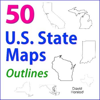
GEOGRAPHY | 50 U.S. State Maps Outlines (K-12)
GEOGRAPHY | 50 U.S. State Maps Outlines (K-12). Map outlines for all American occasions: history, physical, political, or specialty. Ideal for reports, labeling, or patriotic projects. Unfortunately, maps will not create a scaled puzzle. Preview same as Download.About the collection:Files are 8.5" x 11" in PDF & PNG. Product purchase is for organizational services. Maps are compiled from various free online sources and clarity is not always consistent. Please view Preview to see if maps mee
Grades:
K - 12th
Types:
Also included in: Top 20 Best Sellers
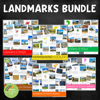
Landmarks Around the World Bundle Pack
This is a MEGA Montessori Bundle Pack, a big collection of landmarks around the world, which contains the following learning materials:✴ Landmarks of Australia/Oceania✴ Landmarks of Africa✴ Landmarks of Asia✴ Landmarks of Europe✴ Landmarks of North America✴ Landmarks of South America Be sure to check the individual files if you are just looking for one specific continent. We always use our printables at home in our homeschool journey. To see how it works, you are more than welcome to follow
Grades:
PreK - 6th
Types:
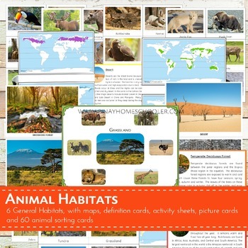
Montessori Inspired Animal World Habitats Learning Pack
I created this file for our geography and animal studies at home. We use this to study the different biomes (habitats) of the world and the animals that thrive on it. This printable is suitable for SORTING ACTIVITIES as well. The pictures I provided are big and clear enough for classroom discussion or for private use.
This file contains the following:
- 6 pictures of habitats (desert, temperate deciduous forest,
grassland, tundra, taiga, rainforest)
- 60 picture cards of animals (10 animals
Subjects:
Grades:
PreK - 6th
Types:
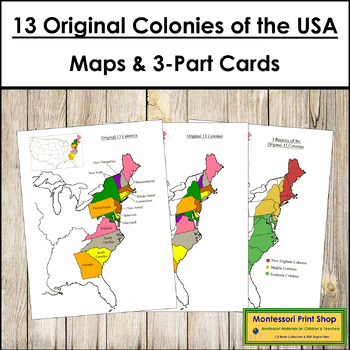
13 Original Colonies of the United States Maps, 3-Part Cards & Information
13 Original Colonies of the United States Maps & Information -Includes the following maps of the 13 original colonies of the USA as the states are divided today. The color maps are colored using the traditional Montessori map colors.Includes:1 black and white blank map1 black and white labeled map1 colored blank map1 colored and labeled map3 regions of the 13 colonies (includes maps for each of the 3 regions)It also includes the following maps of the 13 original colonies of the USA as the st
Grades:
3rd - 6th
Types:
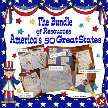
The Bundle of America's 50 Great States
This gigantic bundle is an awesome addition to your US states unit. Five separate resources are all contained in the bundle. Your kids will have fun with the activities, have knowledge of state facts and geography, learn the state capitals, and have a spatial awareness of where states are located on a US map.Most of the bundle is print-and-go with the exception of puzzles that must be cut out. Two map puzzles of the United States are included giving you a choice of two sizes.For a better look a
Subjects:
Grades:
3rd - 6th
Types:
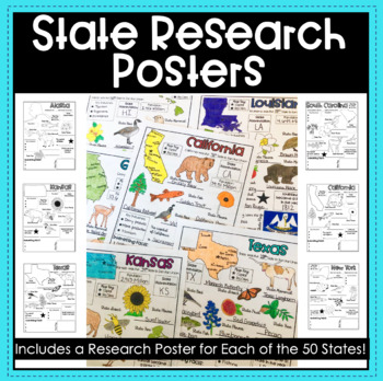
State Research Report Posters - A Template for ALL 50 States!
Get your students excited about learning the 50 states with these amazing report posters! These state research report posters provide your students with an easy to use graphic organizer while they conduct their state research! They can stand alone, be used in conjunction with a larger scale report or project, or used as a decorative display around the classroom! The options are endless!Materials Included:Blank State Research Posters for ALL 50 states
Subjects:
Grades:
4th - 8th
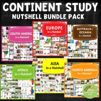
Continent Study Nutshell Geography Series Bundle
It contains all the learning materials in my Nutshell series.NORTH AMERICA IN A NUTSHELL (2022 UPDATED!)⭐ Montessori North America Continent Maps in blue and white background⭐ North American country locator maps and in the blackline format⭐ Countries Fact Cards for North America and in blank format⭐ 24 Country Flags of North America3 Part Cards FormatBlackline Masters⭐ Parts of American Alligator Nomenclature Cards with activity sheets⭐ 10 North America Plants in 3 Part Cards formatMap Locations
Subjects:
Grades:
K - 6th
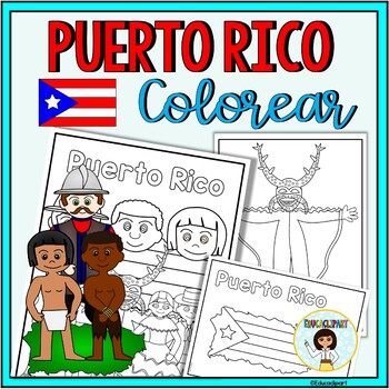
Puerto Rico
This is a .pdf file with 12 coloring pages. It include all pages shown on the preview. The images are:1. Puerto Rico cover coloring page2. Flag - La bandera3. Map - el mapa de Puerto Rico4. Flag in map form - bandera con la forma del mapa5. Race - nuestra raza6. Old San Juan "La garita"7. National flower "La maga" - Flor "La maga"8. Music instruments - instrumentos musicales9. National dance "La plena" dancers10. National dance " La bomba" dancers11. "Vejigante"12. "Vejigante" mask - máscara ve
Subjects:
Grades:
PreK - 12th
Also included in: Puerto Rico Coloring Bundle
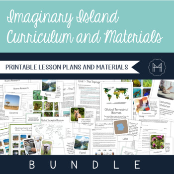
Imaginary Island Curriculum and Materials Bundle!
The beauty of Montessori lessons can be seen in how seamlessly they build on one another, guiding the child to true comprehension. Though this is generally highlighted in the Montessori math and language curricula, a beautiful sequence can be seen as the child makes their way through the cultural curriculum as well. Preparation for the Imaginary Island Study begins in the Children’s House. It is here that they are introduced to basic land and water forms, the complexity of which extends as they
Subjects:
Grades:
3rd - 7th
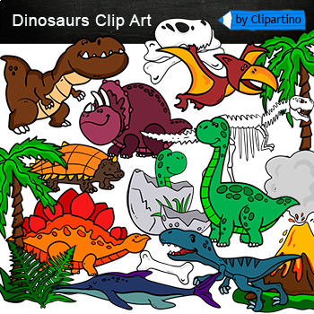
Dinosaurs Clip Art Commercial use
Cute Dinosaur Clip Art Commercial use/ Dino Clipart includes: fern * dino egg* volcano* Bones with skull Dinosaur* bone *dinosaur skeleton* ankylosaurus* apatosaurus* ichthyosaurus* pterodactyl* stegosaurus* triceratops* tyrannosaur* tyrannosaurus rex *tyrannosaurus rex.Download preview with free clipart inside license included!All18 png files transparent background+jpgand 17 png black-white coloring outlines files+jpgFor personal and small commercial use!!!! See more animals clipartDinosaurs of
Grades:
PreK - 12th, Higher Education, Adult Education, Staff
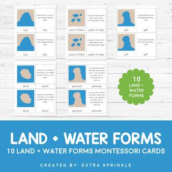
Land and Water Forms Montessori Cards
Check out my other MONTESSORI CARDSDear Educator,Thank you for purchasing the Land and Water Forms Montessori Cards. This set of nomenclature cards is an engaging way to teach your children about the various land and water forms.Included in this packet you will find 10 land and water forms represented:- bay- cape- gulf- peninsula- strait- isthmus- systems of lakes- archipelago- lake- islandFor each type or land and water form, there are TWO types of Montessori nomenclature cards. One card featur
Subjects:
Grades:
2nd - 6th
Types:
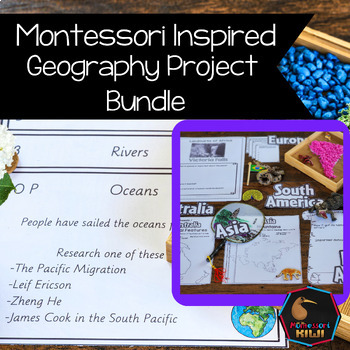
Geography Projects Bundle
Elementary Geography Projects and research tasks. This bundle of Geography tasks are the perfect supplement to Social Studies programs to help extend cultural and physical knowledge of countries and continents.These activities and task cards will extend your students knowledge and allow opportunities for students to integrate their knowledge and connect between curriculum areas. This bundle includes-21 task cards with projects for students to do related to Geography Curriculum-50+ pages of Conti
Subjects:
Grades:
3rd - 6th
Types:
ISIS (ISIL or IS) Unit with PowerPoint, Notes, & Activities {EDITABLE}
This unit introduces students to ISIS (IS, IL, IS, Daesh). The editable PowerPoint provides the history of the terrorist organization, covers the geographic region of Iraq and Syria, and analyzes the current situation. Everything is editable, so you can continue to revise the files to suit your timeline/age group and as the situation in the Middle East and around the globe evolve. This current event unit is intended for use with middle and high school students.
***Information is current thro
Grades:
7th - 12th
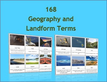
168 Geography and Landform Terms Flash Cards / 3 Part Montessori Cards
These cards align with most state standards and Classical Conversations Challenge A program. Additionally, these cards include terms specifically related to Hawaii's geography features such as windward, lava tube, etc. (Please see list below for a full list of terms.)The cards contained in this packet can be used as traditional flashcards or 3 Part Cards. The 3-Part Cards are Montessori inspired. Rote memorization can be difficult for children with dyslexia. The purpose of these cards is to as
Subjects:
Grades:
3rd - 12th
Also included in: Geography Terms Classical Conversations Aligned Bundle
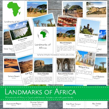
Montessori Inspired Landmarks of Africa 3 Part Cards and Fact Cards
This educational resource includes 20 real and high-quality images of famous landmarks in Africa, presented in a 3-part card format. The file is in a .zip format and includes two PDF files: (1) Landmarks of Africa with a green border, and (2) Landmarks of Africa without borders. Each file includes:- 20 control cards (picture and label)- 20 picture cards- 20 labels- title cards- 20 fact cards- added pin flagsTHIS FILE IS PART OF A BIGGER BUNDLE, which includes all LANDMARKS in continents of Asia
Subjects:
Grades:
PreK - 6th
Types:
Also included in: Landmarks Around the World Bundle Pack
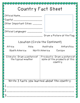
Country Fact Sheet
A fact sheet that can be used as students research countries of the world. Includes space for students to write the official name, capital, important cities, official languages, flag, climate, products, and three facts.
Subjects:
Grades:
1st - 7th
Types:
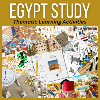
EGYPT Activity BUNDLE Hands-on Activities, Ancient Experiments, Models & Culture
Travel through educational activities with this fresh interactive educational bundle of activities featuring EGYPT! Included is an informational placemat poster and country flag, as well as major landmarks, three-part cards and geographical pinning work. Learn fun facts about this amazing country as well as the fauna. See major historical events of Egypt and color a digital rendition of an ancient Egyptian calendar. Create your own 3D paper diorama of the Giza Plateau, complete with the three gr
Grades:
K - 6th
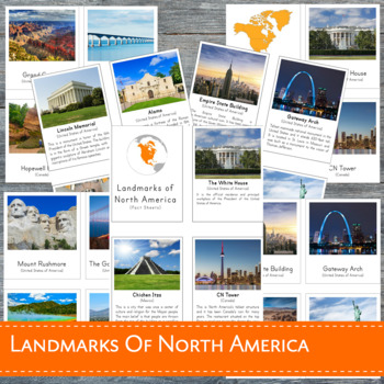
Montessori Landmarks of North America 3 Part Cards
This learning material features 23 high-quality REAL images of known landmarks in North America in 3-part cards format. This file is in a .zip form and contains 2 PDF files: (1) Landmarks of North America with BORDER (2) Landmarks of North America without border. Each file includes:- 23 control cards (picture and label)- 23 picture cards- 23 labels- title cards- 23 fact cards- added pin flagsDOES NOT INCLUDE A NORTH AMERICA MAPTHIS FILE IS PART OF A BIGGER BUNDLE, which includes all LANDMARKS i
Subjects:
Grades:
PreK - 6th
Types:
Also included in: Landmarks Around the World Bundle Pack
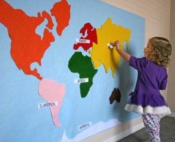
World Continent Map - Interactive on Felt or Paper, 3x5 ft.
Make an interactive 3 ft by 5 ft map on felt or paper.
File includes full 3x5' image, as well as tiles to print on 11x17" paper. Print right on colored paper, or on white paper as template to create felt map. Continents are colored for Montessori.
Not a DIYer? Buy the product and skip the template: https://www.etsy.com/listing/217193390/felt-map-of-world-continents-kid-baby
Pairs well with this spinning wheel and worksheet:
https://www.teacherspayteachers.com/Product/Montessori-Continents-Sp
Subjects:
Grades:
PreK - 6th
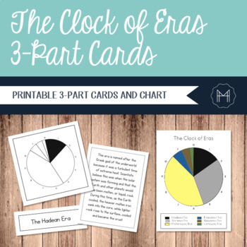
The Clock of Eras 3-Part Cards
Time can be an incredibly abstract topic for children to really grasp. For this reason, many Montessori cultural materials begin with an impressionistic lesson involving a timeline. Whether the students are creating a timeline of their own lives or diving into a study of the history of writing, a physical representation can make the abstract far more concrete.The Clock of Eras work is introduced after the First Great Lesson has been presented. The children have started their independent research
Grades:
2nd - 6th
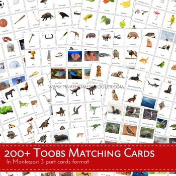
300+ Toobs Matching Cards Bundle Pack
IMPORTANT NOTICE: I am currently updating the files, so please pardon me if some of the Safari Toob Sets you are looking for are missing. They will be included. Remember that purchasing this bundle allows you to access to ALL OF OUR SAFARI TOOB PRINTABLES 3 PART CARDS. If you are looking for a missing file and need it immediately, (based on the previous old pack) please send me an email at pinayhomeschooler@gmail.com.============================================================================
Subjects:
Grades:
PreK - 6th
Types:
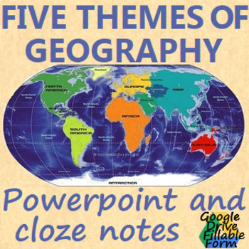
Five Themes of Geography
5 themes of Geography 24 slide powerpoint and one page cloze notes sheet(all items are editable)This product includes:- A PowerPoint Presentation to use in class or use for distance learning- Cloze notes in a printable and editable word document- Fillable PDF of the close notes- Links to google slides and a google doc students are able to fillThis product is also available bundled at a discount:WORLD HISTORY POWERPOINT BUNDLEAlong with:BYZANTINE EMPIRE: powerpoint, cloze notes sheet, chart, &
Subjects:
Grades:
6th - 9th
Also included in: WORLD HISTORY POWERPOINT BUNDLE
Showing 1-24 of 1,051 results


