264 results
5th grade geography guided reading books for GATE
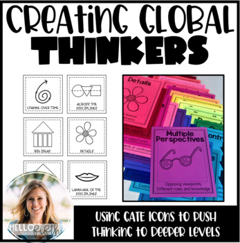
Creating Global Thinkers with Depth and Complexity Icons
Do you want your students learning globally, using higher level thinking, and learning geography... all in twenty minutes a day? I did too so I created this easy way to challenge your students from the moment they walk in the door.This product is easy to print and can be seamlessly implemented into your morning routine. It is recommended that you use the icons of depth and complexity (included) to push and extend student thinking.Included in this product:-Explanation, sample lesson plan, real
Subjects:
Grades:
3rd - 6th
Types:
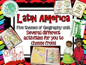
Latin America (Mexico, Central/South America) Geography Research Unit
This Latin America unit includes:
Several different activities/project layouts for you to chose from or use all! :)
As you teach about the geography of Latin America and all the countries in it, use these in their interactive notebooks!
Perfect for students to research and discover information about all of Latin America or just a country there on their own!
GREAT mini research project for GT students or early finishers to work on!
Grades:
2nd - 8th

Travel Agent Research Project | No Prep | Digital & Printable
This open-ended research project turns students into travel agents as they plan a trip! They will conduct research and select a destination, then use the internet to figure out flights, hotels, activities, and more! Students will also use addition, and maybe a bit of multiplication, to determine the total cost of their trip!This Resource Includes:Digital PowerPoint VersionDigital Google Slides VersionPrintable Black & White PDF VersionCompleted in 6 Steps!1. Location Research2. Select a Loca
Subjects:
Grades:
4th - 6th
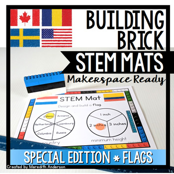
Flags of the World STEM Mats - STEM Center for Building Bricks
If you are looking for a STEM and geography resource, or are celebrating any international sporting events, this is a great set to add to your toolbox!STEM Mats are SO easy to set up in your classroom! If you were thinking of trying STEM Fridays or Maker Mondays, or you need something more engaging for your early finishers than worksheets or reading, this is the resource for you. Not only will your students be working creatively to solve problems, they will be reading, writing, and using math sk
Subjects:
Grades:
1st - 5th
Also included in: STEM Activities and Challenges for K-2 - Whole Year Bundle
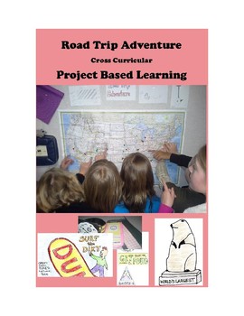
Road Trip Adventure PROJECT BASED LEARNING for GATE and 3rd - 8th Grades
Come along on a fun project-based adventure as students practice different forms of writing, geography skills, computer and internet technology skills, engineering and design skills, math skills, public speaking, creativity, and art.
Here is your Gold Medal Standard project based learning unit ready to go. Because this project-based unit relies heavily on student creativity and invention, the key knowledge, understanding, and success skills can be scaffolded across many grade levels. This un
Grades:
3rd - 8th
Types:
Also included in: SIMULATIONS Real-World Projects GATE Bundle Gifted
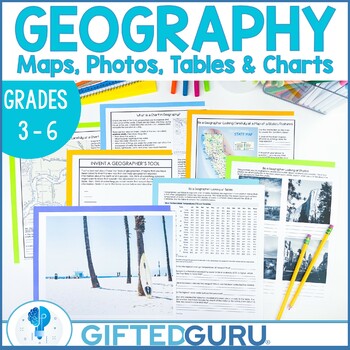
Geography Activities Geographer's Tools Upper Elementary Social Studies
Looking for an engaging upper-elementary geography lesson? This resource is chock-full of activities you can use to teach the geographer's tools of maps, tables, photographs, and charts! You'll get four activities that explore the different tools geographers use to organize geographic information. You'll love the quality graphics and original articles. Your students will love how interesting geography can be!You'll get four low-prep activities that can be used together or individually. Each acti
Subjects:
Grades:
3rd - 6th
Types:
Also included in: Geography Lessons and Activities | Critical and Creative Thinking BUNDLE
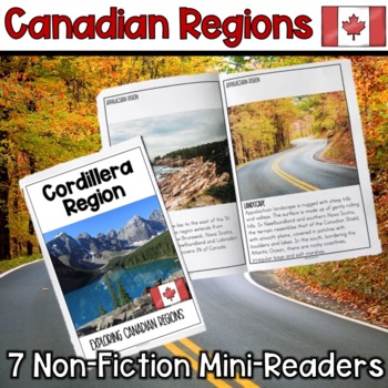
Canadian Regions Mini-Readers
Canadian Regions Mini-ReadersThis resource includes 7 Canadian Region non-fiction mini-readers. Each mini-reader contains student friendly reading passages about the different geographical regions in Canada. Students will learn about the following 7 regions:Cordillera RegionInterior PlainsCanadian ShieldArctic RegionSt. Lawrence-Great Lakes Lowlands Hudson Bay LowlandAppalachian RegionContent covered includes:Geography (regions physical location on a map) LandscapeClimatePeopleLifestyleResource
Grades:
4th - 7th
Also included in: Canadian Regions: Geography, Landforms, Resources, People
Geography Lessons and Activities | Critical and Creative Thinking BUNDLE
If you're looking for fabulous lesson plans about many aspects of geography, this bundle is for you! They're the perfect way to build geography skills, critical thinking skills, and creativity skills, all at once! You'll love the super high quality graphics, original articles, and the super clear teacher instructions for every single lesson.Ten different lessons/activities are included, and all of them align with National Geography Standards. Every resource has more than one activity, so this is
Subjects:
Grades:
2nd - 9th
Life Skills | Plan a Vacation PBL | Project Based Learning
This PROJECT-BASED LEARNING resource is a great way to have students use real-life reading and writing skills as they plan their own overseas vacation.In this unit, students will have the opportunity to plan a trip and persuade others to join along and make memories with them!This is an easy and enriching End of Year Project. Grab basic materials, PRINT, and GO!What's the challenge? Students must find and research a foreign city to travel to. The exciting twist is that the city must start with t
Subjects:
Grades:
4th - 7th
Types:
Also included in: Project Based Learning | Design Process | Life Skills Travel Planning
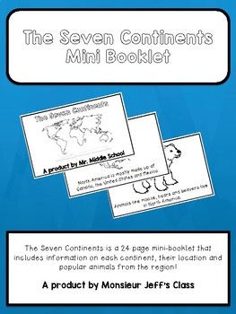
The Seven Continents Mini-Booklet
The Seven Continents is a 24 page mini-booklet for primary grades or English learners.
The booklet includes information on all seven continents offering maps with locations, a fact about each continent and animals from those regions.
Perfect for social studies, language class, primary and junior grades, and English learners.
Booklet is in black and white and made to be coloured by the students. The final page includes a blank map for students to label with their new found knowledge!
Sample
Subjects:
Grades:
PreK - 5th
Travel Agent Project- A Geography PBL
Incorporate authentic learning into your classroom by having your students complete this PBL as you teach geography content for your state or country. The project is organized around the central question: How can you as a travel agent plan a trip to a state or country for a family?
Students will plan a trip with stops in different regions or cities, mark their trip on a map, keep within a budget, and create a persuasive presentation to share their plan. They will not only practice geography con
Subjects:
Grades:
3rd - 8th
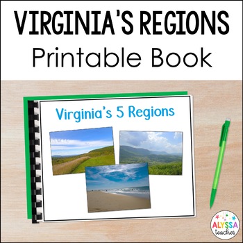
Virginia's Regions Book VS.2a-c | Virginia's Geography
Support student learning with this colorful, printable book about Virginia's five regions! This is a great resource to support English language learners and any students who can benefit from extra visual support and simplified language of the standards. This is a helpful resource to use during your Virginia geography unit or to use for SOL test review!Print, laminate, and bind a copy of the PDF for long-term use or have students view the book on a laptop or iPad!Each region's location, geographi
Subjects:
Grades:
4th - 5th
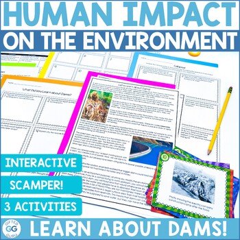
Human Impact on the Environment: Learn about Dams and Human Adaptation
Human adaptation of the environment is a critical standard, but it's not always the most exciting. Learning about dams and their impact on the environment can be fun and engaging! If you're looking for a powerful geography activity your students will remember all year, this is the one. This resource will guide your students through an understanding of how dams work, and also the effects of human adaptation of the environment. Using the GATE creativity tool of SCAMPER, task cards, and an explorat
Subjects:
Grades:
4th - 7th
Also included in: Geography Lessons and Activities | Critical and Creative Thinking BUNDLE
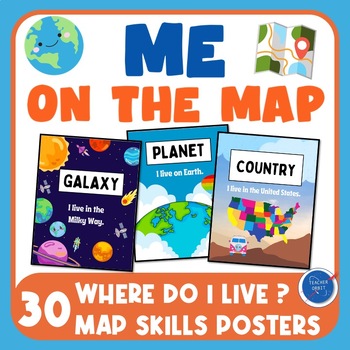
Me on the Map Posters | Back to School Map Skills | Where do I live | Geography
Looking for posters to go along with your Me on the Map read aloud or Back to School map skills lessons? This poster pack includes 30 colorful informational posters that introduce your students to basic geographic descriptions and cardinal directions. Location Posters include Galaxy, Planet, Continent, Hemisphere, Country, State, City, and Town. What's included?10 Where do I live posters? Posters are designed for U.S. locations. Teachers can handwrite their own state, city or town.8 Skill and In
Subjects:
Grades:
1st - 5th
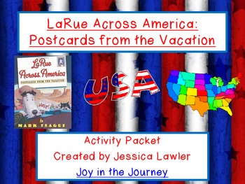
LaRue Across America by Mark Teague Activity Packet (CC-Aligned)
"LaRue Across America: Postcards from Vacation" by Mark Teague is a hilarious book about our favorite dog, Ike LaRue, as he travels across the continental United States on a road trip.
This 47-page FUN and ENGAGING packet is the perfect supplement to a reading unit using the book and/or a study of the geography of the United States, especially when reviewing the placement of the states in the country, as well as a state and capital match-up activity.
Activity packet includes:
Beginning-Middle-
Subjects:
Grades:
2nd - 6th
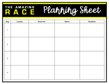
Amazing Race Printable Templates
This file is a PowerPoint file with Amazing Race templates to create challenges, detours and roadblocks in any content area. These templates can be used digitally or as printables. Just click inside the editable text boxes to add your content.Template includes: planning pageschallenge folderroute information carddetour cardroadblock cardplayer name tagsPowerPoint slides template
Subjects:
Grades:
K - 12th, Staff
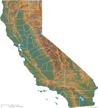
Salt Dough California Regions Map for Distance Learning
This is a grab and go, self-directed project. Students will create a salt-dough topographical map of California. They will label the regions. This slide presentation has detailed instructions to allow students to do this from home. The ingredients are listed. Instructions go step by step. It is a STEM project that they can work on from home with their parents.
Subjects:
Grades:
3rd - 5th
CCSS:
NGSS:
K-ESS3-1
, 4-ESS3-2
, 4-ESS3-1
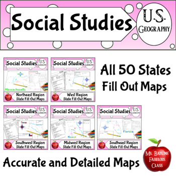
50 States Map Skills US Geography Project Bundle United States Activity
Engage your students with this geography project where they research and fill out the maps for the different states in the United States. Great for a state project. They need to use an atlas (or maps online) to find and label the major cities, capital, rivers, lakes, major water features, mountains, or national parks and then tell some facts about each state. They create their own compass rose and legend for the map. They use a check off sheet that is specific to each state and check their work
Subjects:
Grades:
3rd - 5th
Types:

Grades 3-8: A World of Cookies for Santa - Christmas around the world Read Aloud
Take a trip around the world as we learn about all the delicious treats Santa eats, and unique Christmas traditions celebrated around the world! This printable PDF is a companion for M.E. Furman's book A World of Cookies for Santa! This package can be used with grades 3-8 as the depth of discussion and length of writing assignments can vary depending on the age group. Always preview the books and activities before assigning to ensure they are appropriate for your learners.About This Product:3 PD
Grades:
3rd - 8th
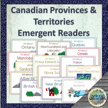
Canadian Provinces & Territories non-fiction emergent readers
14 easy-to-read non-fiction emergent readers are included here, one for each of Canada's provinces/territories as well as the country of Canada. Each emergent reader provides key information such as climate, natural resources, symbols, population, and capital city in simplified language. These books are perfect for use in the regular and special education classrooms, for integrated social studies and language programs, guided reading, early learners, and more!Topics included in each emergent r
Subjects:
Grades:
2nd - 5th
Safe As Houses: Eric Walters - Novel Study Unit
Novel Study Unit
- Comprehension: before, after reading
- Challenges: grammer, connections, activities
- Maps, photos
- History / geography connections
Units Contains:
Pre Reading
- 5 questions and discussions
Chapters
- Each has a Before, After and Challenge (preview). 5-10 questions per chapter.
Extension
- 12 extension questions, activities and discussions
Total of 17 pages of questions, activities, discussions
Images, Geography, Links, History
- 15 pages of images and maps
I am addin
Subjects:
Grades:
5th - 9th
Types:
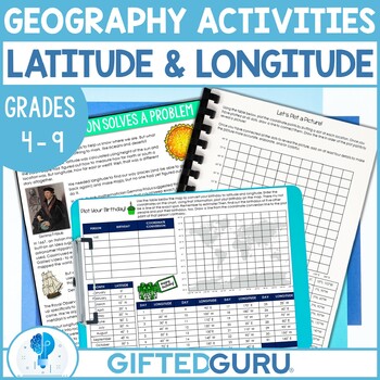
Geography Latitude and Discovery of Longitude Activities Plotting Coordinates
The discovery of longitude is so fascinating! Your students will love reading or listening to the story of how the mystery was solved and engaging in super fun activities to practice their coordinate grid latitude and longitude plotting. There's an original article about the discovery of longitude written especially to keep the attention of students. Do you love making geography come alive? I made this especially because my own students got so easily bored with latitude and longitude. I knew the
Subjects:
Grades:
4th - 9th
Types:
Also included in: Geography Lessons and Activities | Critical and Creative Thinking BUNDLE
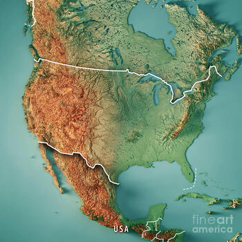
Topographical Salt Dough Map of the United States
It's ready for Distance Learning! This is a turn-key project. Assign it to your students and let the parents work with them. They can present it with pictures or video. The format is Google Slides, so you can alter it any way you see fit. There is a list of features that students must label. From mountains to bodies of water, basins to rivers, the goal is to get them familiar with the landscape of the United States. I am using this as a GATE enrichment project. But, it can be used with a
Grades:
4th - 12th
Types:
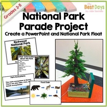
National Park Distance Learning Research Project: Report, PowerPoint, and Float
This project-based activity is designed to let students research, design a PowerPoint presentation, and parade a float representing a National Park for an audience of your choice. Easy to use because there are teacher tools to track assigned Parks and a rubric to score it all! Students LOVE this project and you will too! Inside You Will Find1 Parade of National Parks General Information Page1 How to Host the Parade Page1 Parent Information Page for Book Project1 Parent Information Page for Boo
Showing 1-24 of 264 results


