351 results
5th grade geography guided reading books for parents
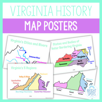
Virginia Studies Map Posters SOL
Print out these colorful posters for your students to visualize the maps of Virginia! Attach them to your Google Classroom or Schoology Courses for students to study during distance learning virtually. These are a great study tool!Posters included:VS.2a Virginia StateVS.2a Virginia on US MapVS.2a Virginia's Bordering States and Bodies of WaterVS.2b Virginia's 5 RegionsVS.2b Virginia's GeographyVS.2c Virginia's Water FeaturesVS.2c Virginia's Cities and RiversVS.2d Virginia's Native American Langu
Grades:
4th - 5th
Types:
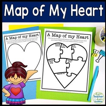
Map of My Heart Template | 5 Heart Options | Use as Writing or Drawing Activity
This Map of My Heart activity can be used in many ways! Use this Heart Map for writing and/or drawing so your students can show you what is most important to them. This is a perfect back to school Getting to Know You activity, use as an introduction to a Mapping unit, or even as a Valentine’s Day activity. This Map of My Heart is geared towards Kindergarten, 1st, 2nd, 3rd & 4th grade students, but may be used at any age as the teacher deems relevant.Multiple Heart options are included. Pick
Subjects:
Grades:
1st - 5th
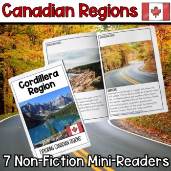
Canadian Regions Mini-Readers
Canadian Regions Mini-ReadersThis resource includes 7 Canadian Region non-fiction mini-readers. Each mini-reader contains student friendly reading passages about the different geographical regions in Canada. Students will learn about the following 7 regions:Cordillera RegionInterior PlainsCanadian ShieldArctic RegionSt. Lawrence-Great Lakes Lowlands Hudson Bay LowlandAppalachian RegionContent covered includes:Geography (regions physical location on a map) LandscapeClimatePeopleLifestyleResource
Grades:
4th - 7th
Also included in: Canadian Regions: Geography, Landforms, Resources, People
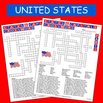
States & Capitals Crossword Part 1 of 2 FREE
This is part 1 of my States & Capitals Crossword worksheet set. Part 2 is also available on TPT. I use these as review and homework assignments. Answer key included. Two versions, one version has a word bank the other version does not.See also:States & Capitals Crossword Part 2 of 2
Subjects:
Grades:
4th - 8th
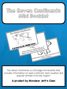
The Seven Continents Mini-Booklet
The Seven Continents is a 24 page mini-booklet for primary grades or English learners.
The booklet includes information on all seven continents offering maps with locations, a fact about each continent and animals from those regions.
Perfect for social studies, language class, primary and junior grades, and English learners.
Booklet is in black and white and made to be coloured by the students. The final page includes a blank map for students to label with their new found knowledge!
Sample
Subjects:
Grades:
PreK - 5th
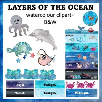
Layers of the Ocean (zones) {Earth Science and Marine Biology ClipArt}
::::::::::::::: Description :::::::::::::::This is an earth science based watercolour clip art set with Black and white images included in the set. The images included in this set are: the five ocean layers (sunlight, twilight, midnight, abyss & trench), boats, ocean waves, ocean plants, seaweeds, ocean rocks, various ocean animals, marine creatures (whale, whale tail, dolphin, octopus, jellyfish, scallop, starfish, crab, anglerfish, turtle, eerl, pearlfish. ::::::::::::::: + 60 image
Subjects:
Grades:
3rd - 5th
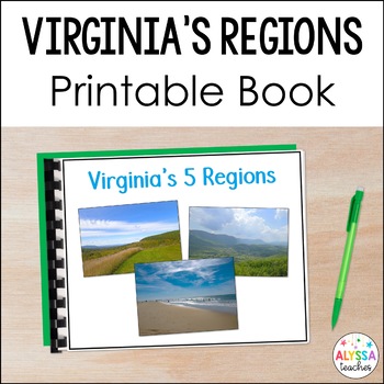
Virginia's Regions Book VS.2a-c | Virginia's Geography
Support student learning with this colorful, printable book about Virginia's five regions! This is a great resource to support English language learners and any students who can benefit from extra visual support and simplified language of the standards. This is a helpful resource to use during your Virginia geography unit or to use for SOL test review!Print, laminate, and bind a copy of the PDF for long-term use or have students view the book on a laptop or iPad!Each region's location, geographi
Subjects:
Grades:
4th - 5th
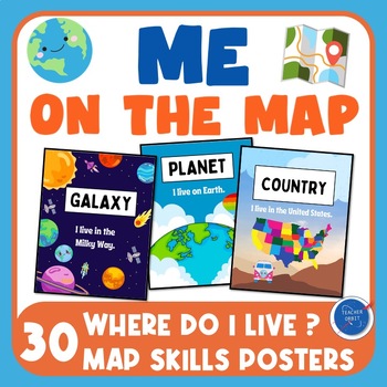
Me on the Map Posters | Back to School Map Skills | Where do I live | Geography
Looking for posters to go along with your Me on the Map read aloud or Back to School map skills lessons? This poster pack includes 30 colorful informational posters that introduce your students to basic geographic descriptions and cardinal directions. Location Posters include Galaxy, Planet, Continent, Hemisphere, Country, State, City, and Town. What's included?10 Where do I live posters? Posters are designed for U.S. locations. Teachers can handwrite their own state, city or town.8 Skill and In
Subjects:
Grades:
1st - 5th
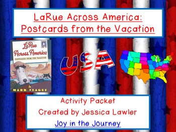
LaRue Across America by Mark Teague Activity Packet (CC-Aligned)
"LaRue Across America: Postcards from Vacation" by Mark Teague is a hilarious book about our favorite dog, Ike LaRue, as he travels across the continental United States on a road trip.
This 47-page FUN and ENGAGING packet is the perfect supplement to a reading unit using the book and/or a study of the geography of the United States, especially when reviewing the placement of the states in the country, as well as a state and capital match-up activity.
Activity packet includes:
Beginning-Middle-
Subjects:
Grades:
2nd - 6th
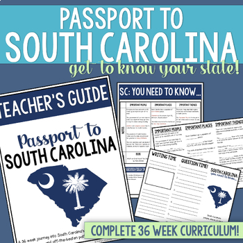
South Carolina History & Geography Homeschool Curriculum | Explore SC Bundle
This homeschool focused South Carolina History curriculum for elementary students is perfect for families who want to explore South Carolina while learning together!If you're homeschooling in South Carolina, chances are you've wanted to experience all of the history that this state has to offer, but have been overwhelmed with where to start. Look no further! After enjoying a semester of South Carolina adventures with my three homeschooled children, I knew we had to share what we had been up to w
Grades:
4th - 6th
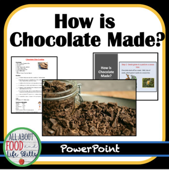
How Is Chocolate Made?
Have you ever wondered how chocolate is made around the world? Cookie tips, how chocolate is made, five video links, and a chocolate chip cookie recipe are included.Recommended ResourceFoods Unit- Comparing Food Products~~~~~~~~~~~~~~~~~~~~~~~~~~~~~~~~~~~~~~~~~~~⭐ Check out the other 300+ resources that I sell! ✔️ Free Newsletter✔️ Free Resources✔️ Resources in My Store✔️ Facebook Great Videos and Resources to Use in Class ✔️ Pinterest❤️️ I would love to hear from you! I value customer reviews s
Subjects:
Grades:
5th - 8th
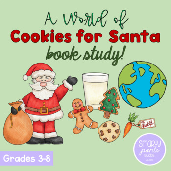
Grades 3-8: A World of Cookies for Santa - Christmas around the world Read Aloud
Take a trip around the world as we learn about all the delicious treats Santa eats, and unique Christmas traditions celebrated around the world! This printable PDF is a companion for M.E. Furman's book A World of Cookies for Santa! This package can be used with grades 3-8 as the depth of discussion and length of writing assignments can vary depending on the age group. Always preview the books and activities before assigning to ensure they are appropriate for your learners.About This Product:3 PD
Grades:
3rd - 8th
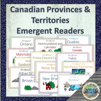
Canadian Provinces & Territories non-fiction emergent readers
14 easy-to-read non-fiction emergent readers are included here, one for each of Canada's provinces/territories as well as the country of Canada. Each emergent reader provides key information such as climate, natural resources, symbols, population, and capital city in simplified language. These books are perfect for use in the regular and special education classrooms, for integrated social studies and language programs, guided reading, early learners, and more!Topics included in each emergent r
Subjects:
Grades:
2nd - 5th
Safe As Houses: Eric Walters - Novel Study Unit
Novel Study Unit
- Comprehension: before, after reading
- Challenges: grammer, connections, activities
- Maps, photos
- History / geography connections
Units Contains:
Pre Reading
- 5 questions and discussions
Chapters
- Each has a Before, After and Challenge (preview). 5-10 questions per chapter.
Extension
- 12 extension questions, activities and discussions
Total of 17 pages of questions, activities, discussions
Images, Geography, Links, History
- 15 pages of images and maps
I am addin
Subjects:
Grades:
5th - 9th
Types:
Road Trip - Activities that Promote Learning While on Vacation
This packets includes meaningful activities that will ease boredom during a long drive, but still address writing, math, and geography skills. If you have a vacation planned but want to make sure that your child's brain stays active, this is for you. Many of the activities can be repeated on each day/stop of your journey. This packet contains:Lodging Review (1 page)Restaurant Review (1 page)License Plate Math Activity (3 pages)License Plate Cross-off Activity (1 page)Daily Travel Log (1 page)R
Subjects:
Grades:
2nd - 5th
Types:
Also included in: Custom Bundle for Viet
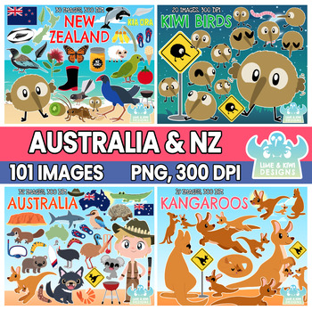
Australia and New Zealand Clipart Bundle 1 (Lime and Kiwi Designs)
::::: WE VALUE YOUR FEEDBACK! :::::At Lime and Kiwi, we strive to make the best possible clipart to help you produce engaging resources for your students! If you have any feedback or suggestions on how we can make our products better for you, please email us at contact@limeandkiwidesigns.com!::::: CONTENT WITHIN PACKAGE :::::► Images saved individually at approximately 6.8” x 6.8” at 300 dpi. Please note that each image varies in size depending on its shape. ► Supplied in both color and black an
Grades:
PreK - 5th
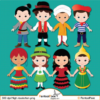
Children of the World clipart, World Children, ethnic clipart - PART 4
Our Children around the world clipart is created with an intention of educating our students about world cultures, traditional dressing, and more which will be our main focus in creating more content. Stay tuned!--------------------------------------------------------------------------------------19 total images (10 vibrant, colored images, 9 BW versions)All images are saved as PNG formats with transparent backgrounds and are of High resolution - 300 dpi.-----------------------------------------
Grades:
PreK - 8th, Higher Education, Adult Education, Staff
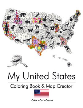
My United States. Black & White Coloring Book & Map Creator.
My United States is a coloring book for adults & children alike.
Children can work with their teacher or parent to cut out each of the pages once colored and assemble their unique map. The finished coloring book is a fun educational tool to help children understand their country, including what animal, flower or object is represented by that state. Patterns range from beginner to intermediate. This is an excellent tool for both geography teachers and parents.
End Map Dimensions: 30" x 25"
Subjects:
Grades:
K - 9th
Types:
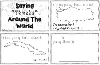
Saying "Thanks" In Languages Around The World Booklet
This Thanksgiving, as we celebrate giving thanks, learn how to say "thanks!" in 10 different languages around the world. The countries are: Cuba (Spanish), Brazil (Portuguese), Italy (Italian), Germany (German), France (French), Vietnam (Vietnamese), Japan (Japanese), Turkey (Turkish), and Russia (Russian). On the last page, you can either add your own language, or research a different language.
This entire booklet is in black and white.
Enjoy!
Subjects:
Grades:
K - 5th
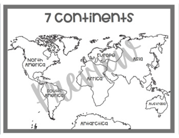
Black and White World Map | Coloring Sheet
This black and white map shows all 7 continents accurately labeled. This is a printable map that would be great in a simple and minimalist classroom. This map can also be printed off, copied, and be used for coloring sheets for students. *The first page is the world map*The second page is the credits page
Grades:
PreK - 9th
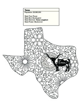
Black & White Texas Map Coloring Sheet. Contains State Facts
This Texas coloring sheet is part of a set of 20 of the United States. Some of the sets contain between 1 and 7 states.
Once colored children can cut out each of the pages and assemble their unique map. The finished coloring book is a fun educational tool to help children understand their country, including what animal, flower or object is represented by that state. Patterns range from beginner to intermediate. This is an excellent tool for geography teachers and parents alike.
Thank you for
Subjects:
Grades:
K - 9th
Types:
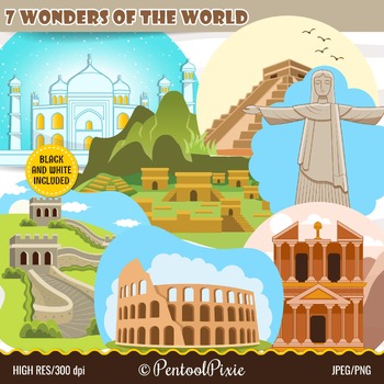
Seven Wonders of the World clipart, New Seven wonders, 7 wonders, travel clipart
Our New Seven Wonders of the World clipart is created to be used in making educational resources to introduce and educate our students about these beautiful monuments.--------------------------------------------------------------------------------------14 total images (7 vibrant, colored images, 7 BW versions)All images are saved in PNG formats with transparent backgrounds and in JPEG formats and are of High resolution - 300 dpi.-------------------------------------------------------------------
Subjects:
Grades:
PreK - 8th, Higher Education, Adult Education, Staff
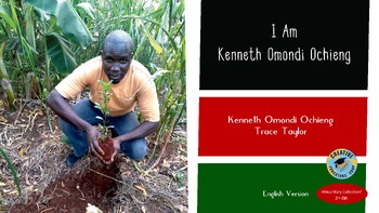
I Am Kenneth Omondi Ochieng
The English version of our 3rd to 5th-grade reader, a story told by Kenyan Native resident Dr. Kenneth Omondi Ochieng about his life in Kenya and how he became a food forester working to reforest Kenya and other countries and how he works to revitalize the Lake Victoria ecosystems. This book is also available in Dr. Kenneth Omondi Ochieng's native language of Omondi and told in his own voice in the audio link included in both the English and Omondi versions. 50% of all sales on this title are do
Subjects:
Grades:
3rd - 6th
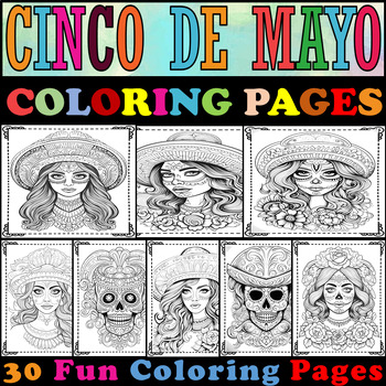
Cinco De Mayo Coloring Pages|Cinco De Mayo Coloring Sheets|For all the princesse
"This collection of pages is crafted to commemorate Cinco de mayo, delve into Mexican culture, and highlight your princess's artistic talents through coloring." ▸ 30 Cinco De Mayo Coloring Pages.Total Pages "30".A4 paper (210 x 297 mm).Black & White.High-resolution images.
Subjects:
Grades:
PreK - 10th
Types:
Showing 1-24 of 351 results


