332 results
4th grade geography printables on sale
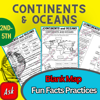
Continents And Oceans | Maps & Globes 7 Continets & Oceans | Facts Activities
Learning about continents and oceans on a map is a great way to engage students and help them remember all seven continents and major oceans in geography. This resource provides tons of practice on maps to help your kids identify the continents and oceans, as well as learn fun new information about each continent and ocean.The facts about continents and oceans are designed in different interactive formats to help your kids engage and have fun while completing them.As there are many questions reg
Subjects:
Grades:
2nd - 5th
Types:
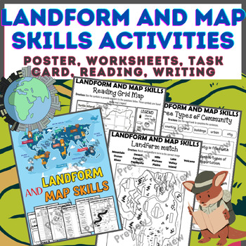
Landform & Map Skills Activity (Poster, Worksheets, Task card, Reading, Writing
Let's spice up your landform and map skills lessons and make learning super fun for your second, third, and fourth-grade students. This Landform & Map Skills Activity (Poster, Worksheets, Task card, Reading, Writing resource covers cool topics like maps, globes, continents, oceans, landforms, suburban, urban, rural areas, directions, and more!The best part? You can use these map skills and landform activities during whole group instruction, independent work, or center time. It's all about fl
Grades:
3rd - 5th
Types:
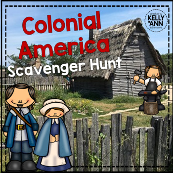
Colonial America Activity for 13 Colonies; 13 Colonies Activities
13 Colonies {New England, Middle, Southern} Scavenger Hunt Activity: A content-rich and fun way to engage students and introduce your unit! ♥You have to see the preview! OVER 600 sold and LOVED!♥This is part of my Colonies BUNDLE {3 Activities!} Let intermediate-middle grade students get up and MOVE while you introduce them to Colonial America!! In this activity, they will complete a scavenger hunt to find important information about the 13 original colonies, the New England, Middle, and Souther
Grades:
4th - 7th
Types:
Also included in: 13 Colonies Activity BUNDLE for Colonial America
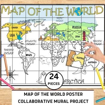
World Map Collaborative Poster Mural Project - Geography Unit , Classroom Decor
⭐️⭐️World Map Mural Collaborative Project Poster⭐️⭐️Transform your classroom with the Collaborative World Map Mural, a captivating and educational poster set. Consisting of 24 6x7 inch square pieces, students can contribute to this engaging bulletin board project. The mural promotes teamwork, critical thinking, and geographical awareness as students research and add drawings, facts, and experiences to represent different regions, countries, and landmarks. This visually stunning display fosters a
Grades:
1st - 4th
Also included in: 21 Collaboration Posters Mural Project - Classroom Decor ,Craft, BUNDLE
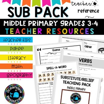
Grade 3-4 Sub Plans for Emergency Teaching days and Relief Teachers
⭐Being a relief teacher and a substitute teacher can come with its own set of challenges. This Relief Teacher Survival Kit is your one-stop resource for handling a job assignment with confidence and ease! Your students will LOVE all of the easy-to-use activitiesIf you are just starting out in your teaching career, or if you need a spark of new ideas, this resource is jam-packed with activities you can use with your students. It includes hundreds of fun, authentic, and engaging activities that I
Subjects:
Grades:
3rd - 4th, Staff
Types:
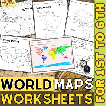
World Map with Countries | Continents and Oceans Blank Map | 1st to 12th Grade
These printable maps will be useful whether you are studying geography, world history, countries around the world, or you are just trying to show your kids the route you are taking on your next vacation! For kids learning about states, we've included a printable map of the world, as well as maps of North and South America, Europe, Asia, Australia, Africa, and Antarctica. Furthermore, the world map printable set comprises labeled and blank options for printing. To print the printable map PDF file
Grades:
K - 12th
Types:
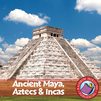
Ancient Maya, Aztecs & Incas Gr. 4-6
This thematic, integrated unit about the Mayas, Aztecs, and Incas will provide both the teacher and the students with a broad understanding of the topic.
About this Resource:
The unit starts off with core teaching lessons to build a base for knowledge, followed by student worksheets that compliment the core lessons. Optional lessons are included to add a degree of flexibility and possible enrichment activities to the lesson. The unit finishes off with a major project that allows students to de
Subjects:
Grades:
4th - 6th
Types:
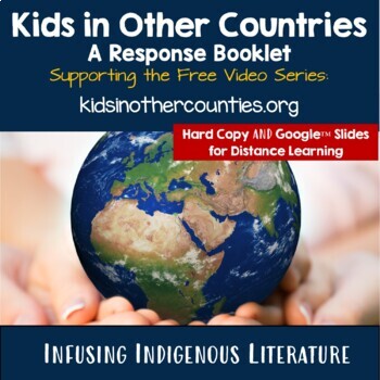
Kids in Other Countries Lessons: Free Video Series: Distance Learning
Supporting Inclusive Resources to create Inclusive Classrooms for Elementary School ChildrenOne of my best discoveries this year, is the FREE on-line video series: Kids in Other Countries This free video series has been instrumental in developing global awareness while creating an atmosphere of appreciation within my grade two class. My goal in creating this resource was to support the video series by having students, reflect, connect, challenge and transform their thinking about social standar
Subjects:
Grades:
2nd - 6th
Types:
Mapping Skills with Google Earth™ Gr. 3-5
Extend the basic knowledge of map reading to give your elementary students a thorough understanding of maps. Our resource allows students to learn in-depth how to read and create maps.About this Resource: Explore all the elements on a map, such as scale, index, grid system, and surrounding area. Take your understanding of a grid system one step further by examining lines of latitude and longitude. Compare the different times zones found in your country. Learn about topographic maps before explo
Grades:
3rd - 5th
Types:
Also included in: Mapping Skills with Google Earth BIG BOOK - BUNDLE
Early Finishers ACTIVITIES PUZZLES,History,Geography,Landmarks,Economics BUNDLE
Introducing the Ultimate Educational Resource Bundle! Packed with a diverse range of topics spanning subjects like History,Geography ,Social studies, Science, Reading, and Novel Study, as well as special occasions and holidays. Ideal for early finishers, morning exercises, writing prompts, vocabulary expansion, and much more. Elevate your teaching toolkit with this versatile collection designed to engage learners year-round!(100 % Digital Download)This resource is useful for:Vocabulary and
Grades:
3rd - 10th
Types:
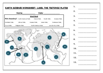
Earth Science worksheets: Label the tectonic plates
Earth Science worksheets: Label the tectonic platesStudents have to identify and label the major tectonic plates Word bank providedWorksheet aimed at higher elementary science lebel
Subjects:
Grades:
3rd - 8th
Types:
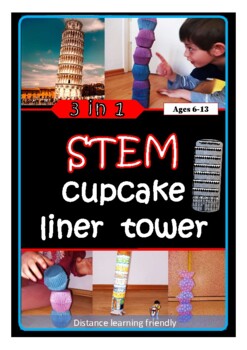
Geography STEM challenge no prep activity build tower architecture printables
The Leaning Tower of Cupcakes :)This multi-level activity requires only cupcake liners!All levels: students try to build a tower using cupcake liners. They can race each other, measure the height, and see if their towers are leaning.Intermediate: The cupcake tower is then compared to the leaning tower of pisa. Ridges are like supportive pillars. Tilting is caused by irregularities in the base.Going deeper:Easy: Students print, color and roll a model of the tower of Pisa into a cylinder.Advanced:
Subjects:
Grades:
1st - 7th
Types:
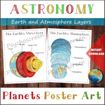
Earth Structure and The Earth's Atmosphere • Layers of the Earth • Posters
֎ ABOUT THE PRODUCT ֎Handmade watercolor print, instant download. Great material for learning about the layers of the Earth and about Atmosphere in homeschooling or in classroom. The product includes:· The Earth's Structure - poster + diagram + parts (labels)· The Earth's Atmosphere - poster + diagram + parts (labels)֎ DIGITAL DOWNLOAD ֎· PDF file in Letter size, with 5 pages. Size: Letter - 2550px x 3300px, 8.5" x 11", 21,59cm x 27,94cm. You can fit it on A4 size. Lamination extends the duratio
Subjects:
Grades:
PreK - 5th
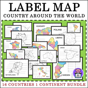
Labeling Map Quiz Countries Around the World - BUNDLE
Labeling Map Around the World 16 Countries and 1 Continent16 Countries Included:MexicoAustraliaFranceItalyGermanyCanadaSpainGreeceJamaicaIcelandLiberiaPolandSwedenHungaryNetherlandsUnited States (2versions) - 4 Regions - 5 Regions1 Continent Included:South America3 Labeling Versions Included:Numbered Label- with word bankIdentify LabelBlank Map for Writing and ColorAlso Includes:PosterColor and BW VersionsAnswer keyTHANK YOU!I appreciate you purchasing my teaching resources, and
Subjects:
Grades:
3rd - 6th
Types:
US States & Territories: 55 Reading Comprehensions w/ Questions & Answer Key
One reading comprehension for every state and territory! That's 55 reading comprehensions!Each state and region has a rich history and offer something unique to the country. How did the state form? How did it become part of the country? What significant events happened there? What's unique about it? These passages answer these questions and can help teach your students about the importance of each US state and the history behind it. Additionally, you'll find information about heritage, traditio
Subjects:
Grades:
4th - 12th, Higher Education, Adult Education
Types:
Valentines Day Love in Many Languages Bulletin Board Set
Here you have an ideal product to reinforce the geography skills, with a "Lovely touch". These Set will liven up any room or any school hall. You can even decorate a door or a quick Bulletin Board (Bunting, posters, decorative paper, borders and ready!) Also you can create a multilingual activity with your students with the black and white version, ready to color!It Includes:Children of 31 countriesNew!! Children of 31 countries coloring pages (black and white)2 Borders designsHappy Valentines
Subjects:
Grades:
PreK - 12th, Higher Education, Adult Education, Staff
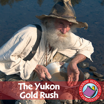
The Yukon Gold Rush Gr. 4-6
In the Yukon Gold Rush, students journey North into the "Land Of The Midnight Sun" and learn about the famous Yukon Gold Rush of 1896.
About this Resource:
Our unit is divided into three parts with teachers choosing to do all three sections or simply selecting the parts that best meet the needs of each individual class. Part one is a structured section focusing on the historical facts of the Yukon Gold Rush. Students learn about the discovery of gold in 1896, and the explosion of events that
Grades:
4th - 6th
Types:
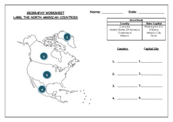
Geography worksheet: Label the North American Countries
Geography worksheet: Label the North American Countries and Capital Cities2 VERSIONS OF WORKSHEET EXIST IN THIS DOCUMENT (Worksheet with a word bank, Worksheet with no word bank)Students have to identify the 4 main countries and their capital cities- found in North American (Greenland, Canada, USA, Mexico)Students can then color in the map of North AmericaAnswer Key included on 3rd page
Grades:
2nd - 7th
Types:
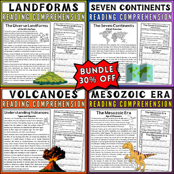
Reading Comprehension Bundle: Landforms, Volcanoes, Dinosaurs, Continents
Elevate your Earth science curriculum with this comprehensive reading comprehension bundle! Perfect for educators seeking engaging resources to captivate students' interest, this bundle features four high-quality nonfiction reading passages accompanied by quizzes to assess comprehension.Dive into the world of landforms with detailed passages exploring various geological formations. From mountains to valleys, students will enhance their understanding through informative text and thought-provoking
Subjects:
Grades:
1st - 6th
Types:
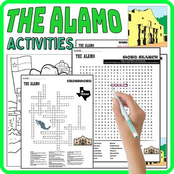
THE ALAMO Worksheets,Vocabulary,Coloring,Wordsearch & Crosswords, Texas History
"The Alamo" activity pack offers a diverse set of engaging worksheets and puzzles that delve into the history of this iconic Texas landmark. Through coloring pages, word scrambles, word searches, and crosswords, it brings to life the significance of The Alamo in the context of Texas history and its place among prominent USA landmarks. It's an interactive and informative resource that makes learning about this historic site both enjoyable and educational.(100 % Digital Download)Files includ
Grades:
4th - 7th
Types:
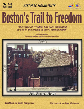
Boston's Trail to Freedom
Learn about each stop on the historic Freedom Trail and meet famous figures from the American Revolution, too. Topics include facts and review questions. Also includes maps, internet research ideas and multiple intelligence activities.
Subjects:
Grades:
4th - 8th
Types:
Canada Eh! Gr. 4-6
Canada — the land of boundless natural beauty and untapped resources.
About this Resource:
In our unit, students will adventure into Canada, exploring the geographical, geopolitical and industrial make-up of the nation. Our unit starts off with a knowledge-based section, where students are expected to know the names and locations of the provinces, territories and capital cities. Student notes and a map activity are used in correlation with this section. Students then study the main landforms o
Grades:
4th - 6th
Types:
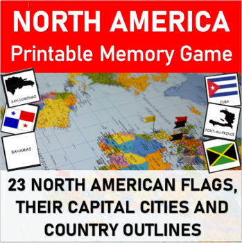
MEMORY MATCHING GAME: The flags, capital cities and countries of NORTH AMERICA
Matching Memory Game: NORTH AMERICA (Flags, Capital Cities and Countries).Have fun learning about the 23 countries of North America with this all-inclusive memory game packet. In this activity, students will match up the names of the North American countries with their respective flags, capital cities and/or country outlines.This 6-in-1 printable MATCHING GAME is a FUN way for students of all ages to learn about the North American continent The memory game works well for both individuals and sma
Subjects:
Grades:
2nd - 4th
Types:
Mapping Skills with Google Earth BIG BOOK - BUNDLE
Gain a complete understanding of map reading with our Mapping Skills with Google Earth™ 3-book BUNDLE. About this Resource: Start off by giving your PK-2 students the building blocks to be successful map readers. Make a map of your classroom with a title, compass rose, legend, date, and author. Find your continent and the countries and lakes within it. Then, extend this basic knowledge to give your 3-5 students a thorough understanding of maps. Compare the different times zones found in your cou
Grades:
PreK - 8th
Types:
Showing 1-24 of 332 results


