68 results
Middle school St. Patrick's Day geography resources for Microsoft Excel

Regions of Texas Poster
This basic poster of the Regions of Texas is editable and can be scaled to fit whatever size you need. Directions for scaling the poster are included. This is a great resource for 4th and 7th grade Texas History classes or any Texas elementary classroom.
Grades:
K - 7th
Types:
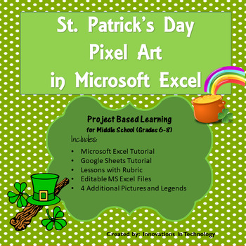
St. Patrick's Day Pixel Art Microsoft Excel or Google Sheets | Distance Learning
Need a fun way to introduce Microsoft Excel to upper elementary or middle school students? This great lesson incorporates St. Patrick's Day themed art as students learn the basics of Microsoft Excel or Google Sheets. First, they'll create a quick pixel art from a given example and then they'll create their own! These are also fun lessons to use if you just need something for a one day lesson.This lesson is great for distance learning/remote learning. You can upload it to your school's learni
Grades:
6th - 8th
Types:
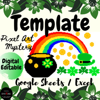
DIGITAL St. Patrick's Day | March activity | Pixel Art Mystery Picture Template
Saint Patrick's Day - Pixel Art Mystery Picture - Template - EDITABLE in Google Sheets/ **Excel. It can be used for Math or any subject area, content, or grade level.It is a perfect spring activity for distance learning, morning work, math centers, early finishers, substitutes, and homework.Answers can be numbers or words.This is a self-checking activity.If your answer is correct, a Mystery Picture will show up.If the answer is incorrect, the answer will turn red and a black cat will come. This
Subjects:
Grades:
1st - 9th
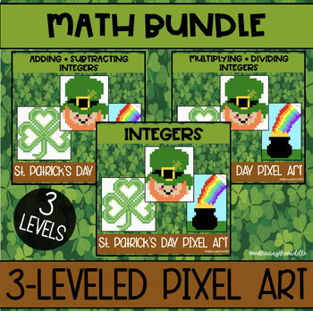
St. Patrick's Day Themed Pixel Art BUNDLE for Middle School Math
This bundle will provide you with 5 pixel art activities that can help deepen student understanding of middle school math concepts. These pixel art activities have three different levels of knowledge. Gives teachers more flexibility to support individual student needs. This resource can be used in the classroom as a formative assessment, independent classwork, homework, or much more! Students will solve 10 integer problems to reveal a mystery image. Gives students automatic feedback and is no pr
Subjects:
Grades:
6th - 8th
Types:
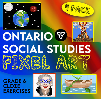
Ontario Grade 6 Social Studies Pixel Surprise Pack
4 cloze exercises explicitly linked to the grade 6 curriculum for social studies. Students fill in the correct answers on Google Sheets to reveal a surprise picture. Topics covered in this pack:Canada's fur tradeNGOs and CanadaChinese workers on the CPR, Chinese head tax and Chinese Exclusion ActNatural DisastersThe pack contains sheets for students and an answer key for teachers. Students receive letter spacing cues to indicate the length of the missing word. This resource was designed to match
Grades:
5th - 7th
Types:

Plan a Family Vacation--$5,000 Budget
Students will have fun with this real life budgeting lesson as they plan their very own family vacation. Students must budget for the family members that live in their household, and must stay with a $5,000 limit. There is a Presentation to discuss all the rules and an excel sheet to help with their totals. As they plan their trip students can create a PowerPoint or a Google Slide that documents their itinerary. The presentation needs to include all expenses and their total cost of the trip
Subjects:
Grades:
4th - 12th
Types:
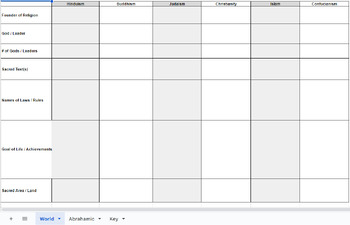
World Religion Comparison Chart
World Religion Comparison ChartFounder, God, # of Gods, Sacred of Text, Rules/Laws, Goal of Life, & Sacred SitesReligions: Islam, Christianity, Judaism, Hinduism, Confucianism, & BuddhismAnswer Key Included
Subjects:
Grades:
7th - 10th
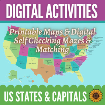
Learning Capital Cities of US by Regions Maps & Activities - Digital and Print
Make learning the states and their capitals easy and fun! This bundle includes 12 printable maps of the entire United States as well as maps of the regions by themselves. There are also 8 digital, self-correcting activities to help your students practice connecting the states with their capitals. Students love the colorful matching and maze activities to learn their capitals! You can use the maps in any way you would like. There are fully labeled maps as well as blank maps with stars in the loca
Subjects:
Grades:
4th - 6th
Types:

Global Trade Simulation - Teacher Mastersheet + National Wealth Spreadsheet
This file is the Trade Simulation master sheet that has all of the program data. The rules, scenarios and guiding principles for the simulation are all here. I have created them based on some of the realities of world systems so that the students can take part in an authentic learning experience. This will allow you to govern the world that is created in your classroom and oversee the economy that is created. In addition, you function as the World Bank so you need so this will be your guide rega
Grades:
6th - 12th
Types:
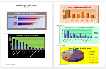
Continent Table Ver3 All Continents Full Pack Tech Lesson Plans&Mat.
A great way to learn about all the continents!
This lesson is in my Level 5 Curriculum Progression.
Recommended for Fifth through Twelfth Grade
Uses Microsoft Excel, but can be adapted for other spreadsheet software.
Summary of Creation: Students use the CIA World Factbook website to find information about all the countries of a specified continent and display the data in a table in an Excel spreadsheet.
Summary of Analysis: Using the table created in Continent Table Version 3 Creation or the
Grades:
5th - 12th
Types:
Travel Planner
Included: .pdf and .doc files, evaluation rubric, Excel spreadsheet. 8 pages, in 2 formats. This unit involves planning a vacation (or tour or trip or adventure) to a country of your choice, somewhere outside North America. Assume that you have two weeks and $5000 at your disposal. You can go wherever you like, but you can’t stay in all-inclusive resorts. You can travel at any time of the year. When you get to your destination you must go to at least two towns or cities and visit their most famo
Subjects:
Grades:
8th - 11th
Types:
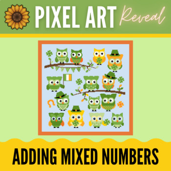
Adding Mixed Number Fractions (unlike) - St. Patricks Day Digital Pixel Art
Digital Pixel Art Mysteries are a great way to get students engaged! In this activity they will practice mixed number fractions with the same denominators. Every correct answer results in pieces of the image appearing, a few pixels at a time. Students get so excited to see and love to guess what the new picture will be! They really like the immediate feedback that allows them to correct their answers if needed. Engaging, self-checking and motivating - doesn’t get much better than that! Here’s t
Subjects:
Grades:
4th - 6th

Demographics- compare your class the the U.S. Census!
This demographic project starts with a class survey which is used to collect census style data for the households represented in your class. The class is then divided into groups to research different demographic characteristics of their town, state and country using the U.S census data available online as well as the data collected form the class. The areas researched include employment, size of household, age, race and ethnicity and where we live and how we move. After researching and findi
Subjects:
Grades:
8th - 12th
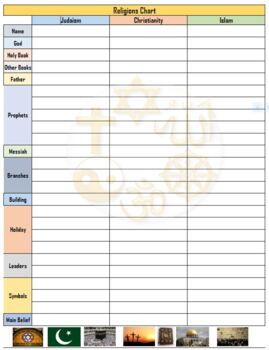
3 Religions of the Middle East Chart w/ Answers - Excel
Compare and contrast chart for Islam, Christianity and Judaism
Subjects:
Grades:
6th - 12th
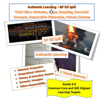
Social Studies _Authentic _BP Spill_Maps_Graphs_Primary Sources_Historian
In this Unit, we will be integrating different types of technology into your Social Studies curriculum! The goal is to gain insight into how to better utilize and understand Social Studies concepts and tools through the study of a real-life authentic catastrophe, the BP Oil Spill.
In this Unit, we will be exploring:
• “Why is History important?"
o Thinking like a historian
o Understanding historical context and perspective
o Examining Primary vs Secondary Sources
• "How does Geography influence
Grades:
6th - 9th
Types:
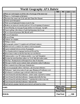
World Geography APA Research Paper Rubric
Are you a world geography teacher looking for a comprehensive and user-friendly APA research paper rubric to streamline the assessment process for your students' projects? Look no further! Our "World Geography APA Research Paper Rubric" is designed to help you evaluate and guide your students' research papers with ease.Key Features:Alignment with APA Guidelines: This rubric is meticulously crafted to align with the American Psychological Association (APA) formatting and citation style. It ensure
Grades:
8th - 12th, Higher Education, Adult Education
Also included in: APA Research Paper Template/Example Paper & APA Grading Rubric

Ratio Tables - Green LOVE Gnome Digital Pixel Art
Digital Pixel Art Mysteries are a great way to get students engaged! In this activity they will practice working with nested parenthesis and order of operations. Every correct answer results in pieces of the image appearing, a few pixels at a time. Students get so excited to see and love to guess what the new picture will be! They really like the immediate feedback that allows them to correct their answers if needed. Engaging, self-checking and motivating - doesn’t get much better than that! He
Subjects:
Grades:
5th - 7th
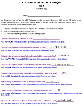
Continent Table Ver 3 Analysis Pack Tech Lesson Plans and Materials
A great way to learn about all the continents!
Summary: Using the table created in Continent Table Version 3 Creation or the Continent Table Version 3 Analysis Optional Student File, students use formulas and data sorting to analyze and answer questions about the countries of the continent.
This lesson is in my Level 5 Curriculum Progression.
Recommended for Fifth through Twelfth Grade
Uses Microsoft Excel, but can be adapted for other spreadsheet software.
Files Included:
Teacher Instructio
Grades:
5th - 12th
Types:
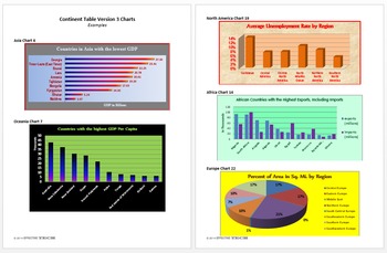
Continent Table Ver 3 Charts Pack Technology Lesson Plans and Materials
A great way to learn about all the continents!
Summary: Using the table created in Continent Table Version 3 Creation or the Continent Table Version 3 Analysis Optional Student File, students create charts to display selected information about the countries of the continent.
This lesson is in my Level 5 Curriculum Progression.
Recommended for Fifth through Twelfth Grade
Uses Microsoft Excel, but can be adapted for other spreadsheet software.
Files Included:
Teacher Instructions (pdf)
Studen
Grades:
5th - 12th
Types:
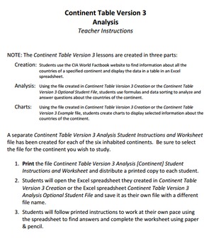
Continent Table Ver 3 Asia Pack Tech Lesson Plans & Materials
A great way to study Asia!
Summary of Creation: Students use the CIA World Factbook website to find information about all the countries of a specified continent and display the data in a table in an Excel spreadsheet.
Summary of Analysis: Using the table created in Continent Table Version 3 Creation or the Continent Table Version 3 Analysis Optional Student File, students use formulas and data sorting to analyze and answer questions about the countries of the continent.
Summary of Charts: Using
Grades:
5th - 12th
Types:
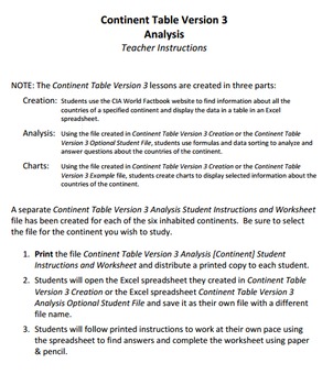
Continent Table Ver 3 South America Pack Tech Lesson & Materials
A great way to study South America!
Summary of Creation: Students use the CIA World Factbook website to find information about all the countries of a specified continent and display the data in a table in an Excel spreadsheet.
Summary of Analysis: Using the table created in Continent Table Version 3 Creation or the Continent Table Version 3 Analysis Optional Student File, students use formulas and data sorting to analyze and answer questions about the countries of the continent.
Summary of Char
Grades:
5th - 12th
Types:
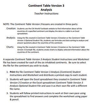
Continent Table Ver 3 Oceania Pack Tech Lesson & Materials
A great way to study Oceania!
Summary of Creation: Students use the CIA World Factbook website to find information about all the countries of a specified continent and display the data in a table in an Excel spreadsheet.
Summary of Analysis: Using the table created in Continent Table Version 3 Creation or the Continent Table Version 3 Analysis Optional Student File, students use formulas and data sorting to analyze and answer questions about the countries of the continent.
Summary of Charts: Us
Grades:
5th - 12th
Types:
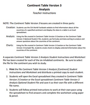
Continent Table Ver 3 North America Pack Tech Lesson & Materials
A great way to study North America!
Summary of Creation: Students use the CIA World Factbook website to find information about all the countries of a specified continent and display the data in a table in an Excel spreadsheet.
Summary of Analysis: Using the table created in Continent Table Version 3 Creation or the Continent Table Version 3 Analysis Optional Student File, students use formulas and data sorting to analyze and answer questions about the countries of the continent.
Summary of Char
Grades:
5th - 12th
Types:
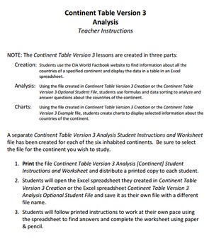
Continent Table Ver 3 Europe Pack Tech Lesson & Materials
A great way to study Europe!
Summary of Creation: Students use the CIA World Factbook website to find information about all the countries of a specified continent and display the data in a table in an Excel spreadsheet.
Summary of Analysis: Using the table created in Continent Table Version 3 Creation or the Continent Table Version 3 Analysis Optional Student File, students use formulas and data sorting to analyze and answer questions about the countries of the continent.
Summary of Charts: Usi
Grades:
5th - 12th
Types:
Showing 1-24 of 68 results


