1,085 results
High school geography resources for Easel under $5
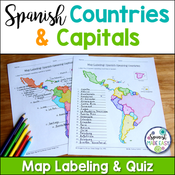
Spanish-Speaking Countries and Capitals Maps and Quiz
This is a map labeling activity and matching quiz over the 21 Spanish-speaking countries and capitals. Students will label and identify the 21 Spanish-speaking countries and capitals in Spanish. This is a great activity when reviewing Spanish-speaking countries and capitals or Spanish geography. Makes a great coloring page. Answer keys are included.
Countries included:
España, México, Costa Rica, El Salvador, Guatemala, Honduras, Nicaragua, Panamá, Cuba, La República Dominicana, Puerto Rico, Ar
Subjects:
Grades:
6th - 12th
Also included in: Spanish Countries and Capitals Geography Bundle
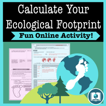
My Ecological Footprint: Fun Online Activity and Worksheet about Climate Change
Take your class to the computer lab for a fun and engaging activity! Students will use an interactive website to find out how their lifestyle determines their ecological footprint and impacts our planet. This activity is the first step in a fun lesson that spans two classes and gets your students learning about the environmental impact of the choices we make every day. This lesson fits perfectly into a unit or course about climate change, environmentalism, geography or world issues. There is lit
Subjects:
Grades:
9th - 12th
Types:
Also included in: Climate Change and Environmental Sustainability Bundle for High School
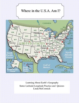
Latitude and Longitude Worksheets and Quizzes - U.S.A. Geography
This collection of worksheets and a printable map provide excellent lessons for learning latitude and longitude. • This package contains 9 pages. • A printable map with the necessary information to answer the questions regarding latitude and longitude.• Includes practice and two quizzes in the “Where Am I” format•Answer KeyThis lesson is google classroom ready.Please e-mail me with any questions about this resource or suggestions for future resources at: ljmccormick33@yahoo.com. If you are diss
Subjects:
Grades:
5th - 9th
Types:
Also included in: U.S.A. Geography- Bundle
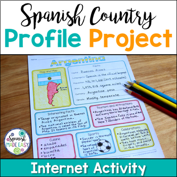
Spanish Country Profile Project
This is a country profile project over the 21 Spanish-speaking countries. Students will research important geographical and cultural facts about each country. This activity includes a blank country profile template, a template for each country, a list of Spanish-speaking countries, and a grading rubric in both English and Spanish. Research topics include: Countries flag, map, capital, language(s), population, area, currency, climate, interesting facts, tourism and attractions, cuisine, sports, a
Subjects:
Grades:
2nd - 12th
Types:
Also included in: Spanish Countries and Capitals Geography Bundle
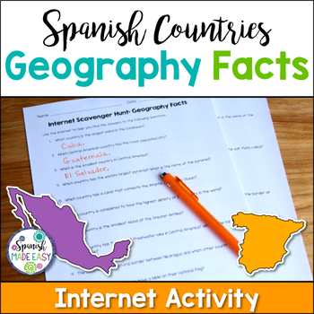
Spanish Countries Geography Facts Internet Scavenger Hunt
This is an internet scavenger hunt over geography facts of the Spanish-speaking world. This activity provides students with one geographical fact about each of the 21 Spanish-speaking countries. Students research each question online to find out which country is being described. The answers to this activity are the 21 Spanish-speaking countries. All the answers may be found online at www.wikipedia.org. Answer key is included.
Students may complete this activity using the internet in a computer
Subjects:
Grades:
6th - 12th
Types:
Also included in: Spanish Countries and Capitals Geography Bundle
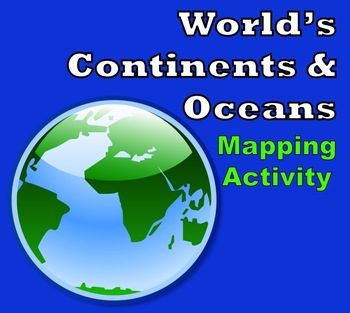
World Map - World's Continents & Oceans Mapping Activity
Map Activity – World’s Continents & OceansIn this activity, students must locate and identify the world’s continents and oceans. When students are finished with this, they may spend time coloring the various continents and oceans if so desired. This activity could also easily be used as an assessment piece as well (i.e. test, quiz, etc.) thus has multiple uses!Included in this package is a ready-to-copy blackline master world map along with a separate answer key.Preview file is available for
Subjects:
Grades:
3rd - 10th
Types:
Also included in: Map Activity Bundle
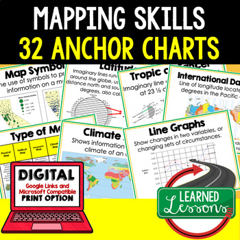
Mapping Skills Anchor Charts (World Geography Anchor Charts), Posters, Google
Mapping Skills Anchor Charts (Great as Bellringers, Word Walls, and Concept Boards), Mapping Skills Posters, Geography Review Pages, Digital Activity via Google Classroom This bundle will take your through the entire Geography curriculum. It will include all components of Geography. This is perfect for traveling around the world in style. THIS IS ALSO PART OF World Geography MEGA BUNDLE, Mapping Skills BUNDLE, Geography ANCHOR CHART BUNDLE Anchor charts are great for representing the topics
Grades:
6th - 12th

Christmas Cities in the USA Geography Map Activity Worksheets
Christmas Cities in the USA Geography Map Activity WorksheetThis United States Christmas map features cities whose names are associated with the holidays in some way. Students use a blank U.S. map to locate and label each city. Great to reinforce state names, regions, and writing proper nouns. Both the map and city checklist contain fun graphics which enhance the activity. An answer key is included.This activity is part of my Fun Christmas Language Arts Activities Bundle.I also
Grades:
2nd - 9th
Types:
Also included in: Christmas Language Arts Activities Webquests, Fact or Fiction, and More
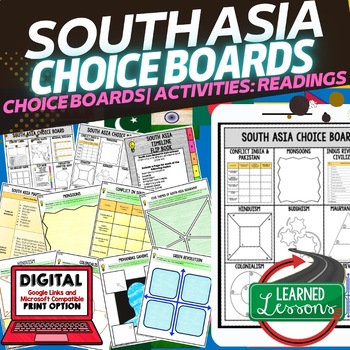
South Asia Activities, Choice Board, Google Geography, Distance Learning
World Geography South Asia Choice Board Activities (Paper and Google Drive Versions), Digital Distance Learning & PrintSOUTH ASIA GEOGRAPHY Activities, CHOICE BOARD, World Geography Graphic Organizers, World Geography Digital Interactive Notebook, World Geography Summer School, World Geography Google Activities THIS IS ALSO PART OF SEVERAL BUNDLES World Geography MEGA BUNDLEWorld Geography Choice Board Activity BUNDLEIncluded: 2 Choice Boards18 Activities60 Activity Pages (B/W and color) Pap
Grades:
7th - 12th
Types:
Also included in: World Geography Activities, Readings, Choice Boards, Geography Bundle
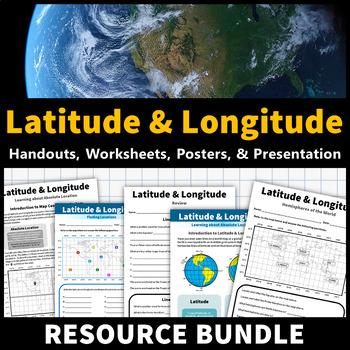
Latitude and Longitude Activities | Map Skills Worksheets Posters Presentation
Learning about latitude and longitude is fun and easy with this resource bundle! This ready-to-use no prep value bundle teaches students about latitude and longitude, the hemispheres of the world, major lines of latitude and longitude (Equator, Prime Meridian, Tropic of Cancer and Capricorn, Arctic and Antarctic Circle), and finding locations using geographic coordinates! This bundle includes: Four handouts introducing latitude and longitude, the world's hemispheres, absolute and relative locati
Grades:
5th - 9th
Types:
CCSS:
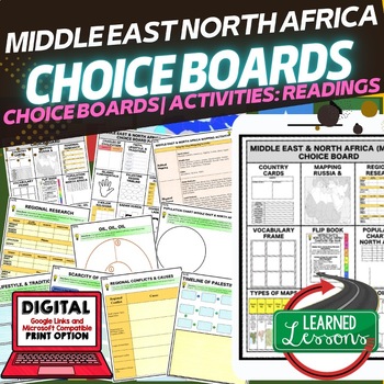
Middle East & North Africa (MENA) Activities, Choice Board, Print & Google
World Geography Middle East and North Africa (MENA) Choice Board Activities (Paper and Google Drive Versions), Digital Distance Learning & PrintMIDDLE EAST and NORTH AFRICA GEOGRAPHY, CHOICE BOARD, World Geography Graphic Organizers, World Geography Digital Interactive Notebook, World Geography Summer School, World Geography Google Activities THIS IS ALSO PART OF SEVERAL BUNDLES World Geography MEGA BUNDLEWorld Geography Choice Board Activity BUNDLEMENA BUNDLE Included2 Choice Boards18 Activ
Grades:
7th - 12th
Types:
Also included in: Middle East and North Africa MENA BUNDLE (World Geography Bundle)
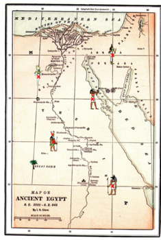
Latitude Longitude Worksheets and an Ancient Egyptian Map -Geography
This resource is a two worksheet lesson on latitude and longitude using a map of Ancient Egypt. It provides map reading practice as well as background information on Ancient Egypt. There is a Key provided. Good geography practice for all middle school students.This lesson is google classroom ready.Please e-mail me with any questions about this resource or suggestions for future resources at: ljmccormick33@yahoo.com. If you are dissatisfied in any way, please contact me right away by email or
Grades:
5th - 9th
Types:
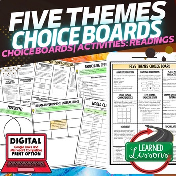
Five Themes of Geography Activities, Choice Board, Print & Digital, Google
Geography Five Themes Choice Board Activity Pages, Google Classroom, Print & Digital Distance LearningWorld Geography Graphic Organizers, World Geography Digital Interactive Notebook, World Geography Summer School, World Geography Google Activities THIS IS ALSO PART OF SEVERAL BUNDLES -World Geography MEGA BUNDLE-World Geography Choice Board Activity BUNDLE-Five Themes BUNDLE Includes: 2 pages of choices--15 Activities55 Activity Pages (1/2 Black/White and 1/2 Color) Paper and Link for Googl
Grades:
6th - 12th
Types:
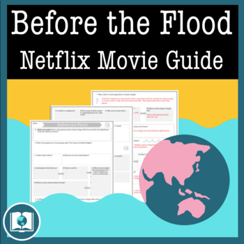
Before the Flood Movie Questions: Climate Change and Global Warming Documentary
Before the Flood is an important documentary on Climate Change presented by National Geographic and starring Leonardo DiCaprio. Climate Change is quickly becoming one of the most important issues of our time. It's our job as educators to make sure students are aware of the impact that climate change might have on their futures. Before the Flood is the perfect way to introduce the topic of climate change and environmentalism in your classroom!This resource contains four pages of questions about t
Subjects:
Grades:
9th - 12th
Also included in: Climate Change and Environmental Sustainability Bundle for High School
Layers of the Atmosphere Build an 8-foot Scaled-Down Model of our Atmosphere
Create an 8-foot-tall (2.4m), scaled-down model of our atmosphere and discover cool information about our atmosphere at the same time! Students will also learn a little history about humankind's ventures into our atmosphere.Includes Troposphere, Tropopause, Stratosphere, Stratopause, Mesosphere, Mesopause, Thermosphere, and Exosphere. No prep.The only way to get a true sense of atmospheric scale is with a model this big!Crosscutting concepts: scale, proportion, & quantity, systems & sy
Subjects:
Grades:
6th - 12th, Adult Education
Types:
CCSS:
Also included in: Ecology, Environmental Studies, and Earth Science Activities Bundle
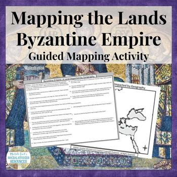
Mapping the Lands of the Byzantine Empire Activity - Geography of Empire
Mapping the Lands of the Byzantine Empire Activity (Part of my Geography IN History Series) is a great lesson for setting the foundation for your unit on the Byzantine Empire and the rule of Justinian and Constantine.This mapping activity guides students through mapping the physical features of the Byzantine Empire (Early Christian Civilization) by researching 15 different questions and topics on the region. Students can use an atlas with a physical map of the region or online sources to comple
Grades:
6th - 10th
Types:
Also included in: Mapping the Lands of the Ancient & Early World Activity Bundle
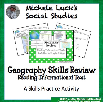
Geography Skills Review Centers Activity
Need to review basic Geography skills? Looking for an engaging resource to review those Geography skills?Use this 26 page Geography Skills Review Centers Activity to help your students review the basic Geography skills that are so vital for any Social Studies course. Open the Preview to see the complete product.Set includes 4 skills review cards on each of the following topics:ChartsGraphsMapsInformational TextsEach card provides 5 questions to guide students in the analysis of the informationa
Grades:
3rd - 12th
Types:
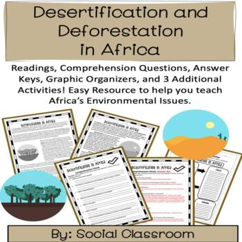
Environmental Issues in Africa- Desertification and Deforestation (SS7G2)
This can be a one day lesson or you can stretch this out for a whole week. This product contains all the resources you will need to help your students understand the environmental issues in Africa. Check out my store for other great products!This Product Includes:One page reading on Desertification 8 Comprehension Questions for Desertification Reading- Answer Key Included One page reading on Deforestation8 Comprehension Questions for Deforestation Reading- Answer Key Included Reading Comprehensi
Subjects:
Grades:
6th - 12th
Types:
Also included in: BUNDLE: Africa Resources
Roman Geography Digital Task Cards
These digital task cards are the perfect way to kickstart your Ancient Rome unit! In this activity, students will tackle five different tasks to explore the geography of Italy and the Ancient Romans. With venn diagrams, maps, and drag-and-drop features, the Roman Geography Digital Task Cards will engage your students and encourage them to think critically about the impact of geography on the lives of the Romans.This lesson includes:- Teacher lesson plan- Link to Google Slides- Five task card act
Grades:
6th - 10th
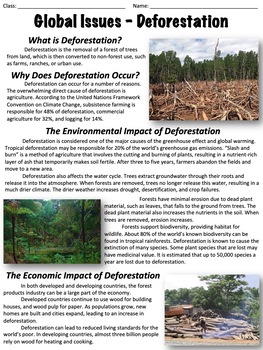
Deforestation - Global Issues
This worksheet covers the issue of deforestation. An optional, ten-question multiple-choice worksheet is included. The worksheet is divided into the following sections:What is deforestation?Why does deforestation occur?The environmental impact of deforestationThe economic impact of deforestationDeforestation ratesHealth concernsCan deforestation be slowed or stopped?There are two extended response questions:What do you think the best method is to reduce deforestation and why? What can individual
Grades:
6th - 9th
Types:
Also included in: Global Issues Bundle
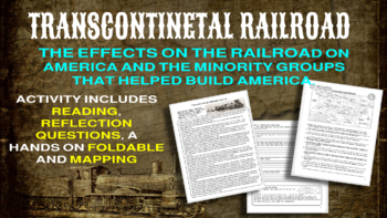
Transcontinental Railroad Activity
This activity looks at the Transcontinental Railroad and how it shaped America and Americans including the contribution of the minority groups that helped build and expand America but were also displaced. This looks at the Chinese immigrant railroad workers and the Native Americans that the railroad line displaced. Three parts to this activity:Reading and Reflection QuestionsFoldable Hands on ActivityMapping Activity
Grades:
8th - 12th

Travel Brochure Research Project with Brochure Templates Project Based Learning
This Travel Brochure Project has differentiated options to best fit your students' needs. Brochure templates are included. Students will research specific facts about a popular world destination and create a travel brochure for it. This is great for helping all students access grade level content! This assignment will help students learn about different destinations around the world. TEACHERS LIKE YOU SAID…"This was such an engaging resource!!! I will definitely be using this in the future. Both
Grades:
8th - 10th
Create a Population Pyramid Project for Geography Population Growth and Decline
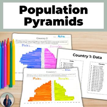
Are you looking for practice creating population pyramids? Then this is for you! These scaffolded population pyramids are great for helping all students access grade level content! Students are given two countries' population data to make a population pyramid. They will also create their own population for a country and can create a population pyramid using their data or switch with a peer and complete each others.This is a no-prep project! Just print and go! Students will make 3 population pyra
Grades:
8th - 11th
An Inconvenient Truth (2006): Complete Video Guide & Graphic Organizer
Filmmaker Davis Guggenheim follows Al Gore on the lecture circuit, as the former presidential candidate campaigns to raise public awareness of the dangers of global warming and calls for immediate action to curb its destructive effects on the environment.This 22-question video guide will help your students get the most out of this powerful and insightful movie. This movie guide comes with an answer key. This movie also comes with a graphic organizer (it is up to the teacher to decide) that allow
Subjects:
Grades:
8th - 12th
Types:
CCSS:
Also included in: An Inconvenient Truth 1 & 2: Discounted Bundle
Showing 1-24 of 1,085 results


