438 results
7th grade geography classroom form activboard activities
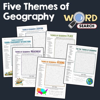
5 Themes of Geography, Terms Word Search Puzzle Activity Bundle Worksheets
This word search puzzle worksheet is perfect if you need something to keep your students occupied. This worksheet will help your students learn more and improve their vocabulary.After searching for the words, your students should be able to solve the secret message by filling out the blanks with the unused letters. The words are hidden in various directions - horizontally across or backward, vertically up or down, diagonally up, down or backward. Some words will also overlap or intersect, which
Grades:
4th - 7th
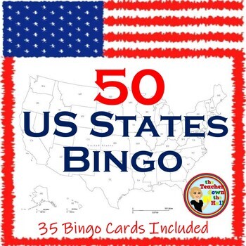
US Bingo I Know the 50 States Group Activity w/ 35 Bingo Cards!
Need a fun way to review the 50 States? Print the Bingo Cards, and show the slides!! Students will see: the shape of each state, where it is located in the US, its state flag, and its state motto.Their job is to identify it and cover it on their Bingo Cards! A great review and there are enough slides to play at least twice. Then play a game where students race each other to identify the states. Both games are great reviews of our US states! **************************************************
Grades:
4th - 7th
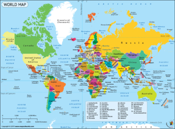
Google Form Map Tests/Assignments Bundle! 8 Different Maps and Tests!
This is a bundle of 8 quizzes/assignments, all on Google Forms. These include:Continents and OceansNorth and Central AmericaCaribbeanSouth AmericaAfricaAsiaEurope25 Countries I want my students to knowThese are all done on Google Forms. They are editable if you want to change them. I have included the answer key, a copy of the map, and a blank copy of the map for each if you want to prepare a study guide. You can access these through Google Drive. Please let me know if you have any question
Grades:
3rd - 12th
Types:
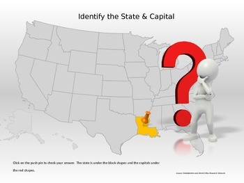
50 States & Capitals Interactive Power Point
Students can practice their 50 states and capitals, locations and abbreviations in this interactive Power Point. If the student does not know the state, they can click to reveal the abbreviation of the state for a second guess.This would be great for a whole class game, small group, or individual practice.
Grades:
4th - 7th
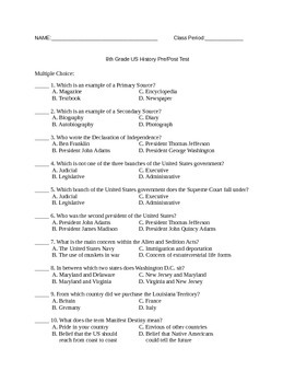
8th Grade US History Pretest/Posttest
This is a pretest for US History until the 20th century. It is a 50 question, multiple choice test and includes an answer key. If you would like to give this test through Google Forms, let me know and I will share it with you!
Subjects:
Grades:
7th - 12th
Types:
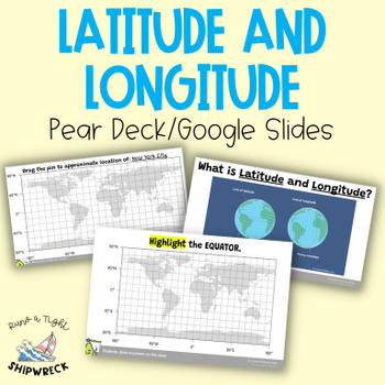
Latitude and Longitude Map Geography Skills Google Slides Pear Deck
Improve your students' map skills with these interactive and engaging Pear Deck slides! Teach your students how to identify lines of latitude and longitude, the Equator, and the Prime Meridian with ease. These slides are a great addition to your geography lesson plans, and can be used as a formative assessment or review activity. The slides come with a brief video tutorial to explain these concepts, followed by an activity where students will pin and label locations on a map using either Google
Grades:
6th - 8th
Types:
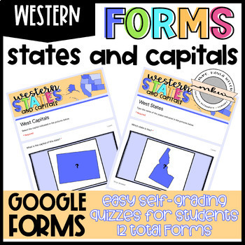
Western States and Capitals Quizzes
After your students have studied their states and capitals, test their knowledge with these Google Forms. Assign these on Google Classroom to easily collect student data. These are perfect for distance learning!Why Should you use Google Forms?Self-Grading/Checking Automatically Collects & Organizes DataFully Editable (add/delete/edit questions)Online Testing PracticeWhat’s Included:This resource includes 12 West Region Google Forms - 6 Multiple Choice and 6 Fill In. See the Instructions PDF
Grades:
2nd - 12th
Types:
Also included in: Western States and Capitals BUNDLE!
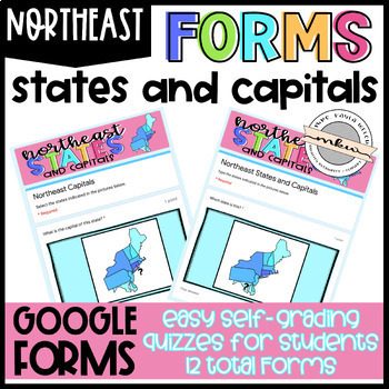
Northeast States and Capitals Quizzes
After your students have studied their states and capitals, test their knowledge with these Google Forms. Assign these on Google Classroom to easily collect student data. These are perfect for distance learning!Why Should you use Google Forms?Self-Grading/Checking Automatically Collects & Organizes DataFully Editable (add/delete/edit questions)Online Testing PracticeWhat’s Included:This resource includes 12 Northeast Region Google Forms - 6 Multiple Choice and 6 Fill In. See the Instructions
Grades:
2nd - 12th
Types:
Also included in: States and Capitals MEGA BUNDLE!
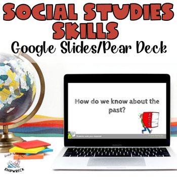
Middle School Geography Timeline Map Skills Interactive Google Slides Pear Deck
Introduce your students to essential social studies skills with this interactive and engaging Pear Deck lesson on Geography, Timelines, and Primary and Secondary Sources! This Google Slides presentation includes mixed-level questions to guide instruction, and students will practice important ELA skills such as identifying and applying domain-specific vocabulary, composing clear written responses, and other writing and reading comprehension skills. This lesson is perfect for whole group instructi
Grades:
6th - 8th
Types:
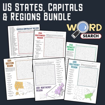
US Regions, States, Capitals Matching Geography Word Search Puzzle Bundle
Keep your students busy with this United States Geography word search. This is a good activity to help develop their knowledge about the states, capitals, regions, and geography of the USA.The words are placed in various directions - horizontally across or backward, vertically up or down, diagonally up, down, or backward. Some words will also overlap or intersect, which makes the puzzle more fun.You can use this as homework or extra work to be done in the classroom.Contents of this BundleHere's
Grades:
4th - 7th
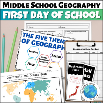
World Geography First Day of School Activities for Middle School Geography
Be prepared on the first day of school with these Middle School World Geography activities and classroom items. This comes as a printable PDF file. The map quiz and Crash Course questions have Google options for digital assignment. Included you will find:A Student Survey "My Personal Flag" ActivityMap the Classroom ActivityWorld Geography Dominoes Group ActivityBasic World Geography Quiz in Color and Black and WhiteThe Five Themes of Geography Printable Posters in Black & White and ColorA Cl
Grades:
6th - 7th
Types:
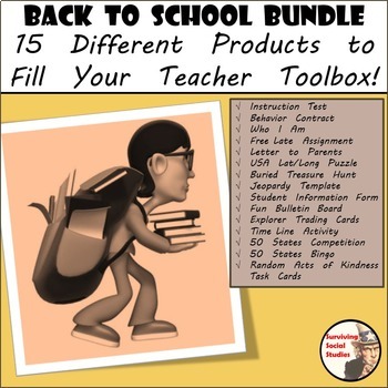
Beginning of the Year Starter Kit Bundle - 15 Social Studies Products
Back to School - Beginning of the Year Starter Kit. When I first started teaching I remember feeling overwhelmed because I didn't have any resources to start with. Whether you are just starting out with teaching or looking to add to your teacher toolbox here is a starter pack for the beginning of your school year. Included in this purchase is a five-pack of printable materials such as:1. An introduction letter to parents regarding you, your class, and your background. There is a template se
Grades:
5th - 8th
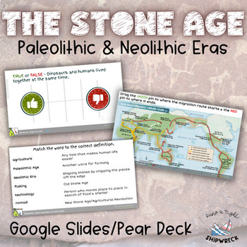
Stone Age Paleolithic Era and Neolithic Era Interactive Google Slides Pear Deck
Dive into the fascinating world of the Stone Age with these interactive Pear Deck slides! Explore the evolution of human civilization through topics such as hunter-gatherer societies, early human migration, technological advancements, and the transition to agriculture. Delve into the lifestyles, tools, and innovations that defined the Paleolithic and Neolithic eras. Engage students in active learning as they participate in discussions, analyze primary sources, and explore the significance of ar
Subjects:
Grades:
6th - 8th
Types:
Also included in: Early Humans Stone Age BUNDLE Pear Decks, Google Docs, and more!
U.S. Geography with BOOM Cards - Map Skills Activities - 4th, 5th, 6th grades
Your 4th, 5th, 6th, and 7th grade students will enjoy reviewing and learning from the geography of the United States with this all-encompassing Social Studies bundle. Use this as a preview to see what students know, as a review to see what they've learned, or as an active learning and planning unit about the U.S.A.With this US Geography bundle, your students will:Practice and review geography vocabularyIdentify locations of statesIdentify state abbreviations and capitals Determine locations of
Grades:
4th - 7th
CCSS:
States and Capitals MEGA BUNDLE!
Help your students achieve states and capitals mastery with these cute, fun, flashcard style slides! After your students have studied their states and capitals, test their knowledge with these Google Forms. This BUNDLE includes Google Slides and Google Forms - both of which can easily be posted to Google Classroom, Canvas, etc. Once posted, your students can access the slides whenever they have free time. The quizzes allow you to easily collect student data. These are perfect for distance learni
Grades:
2nd - 12th
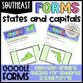
Southeast States and Capitals Quizzes
After your students have studied their states and capitals, test their knowledge with these Google Forms. Assign these on Google Classroom to easily collect student data. These are perfect for distance learning!Why Should you use Google Forms?Self-Grading/Checking Automatically Collects & Organizes DataFully Editable (add/delete/edit questions)Online Testing PracticeWhat’s Included:This resource includes 12 Southeast Region Google Forms - 6 Multiple Choice and 6 Fill In. See the Instructions
Grades:
2nd - 12th
Types:
Also included in: States and Capitals MEGA BUNDLE!
Water in the world: Water Scarcity Assignment
Curriculum context: Australian curriculum for Geography.Investigating water scarcity.- Do All Countries Have Equal Access to Water? Students create a graph to compare average water consumption among a variety of countries.- Investigate how water impacts the liveability of people in Australia and another country of your choice.- Includes Assessment Rubric that corresponds to Australian Curriculum Standards.- Socrative revision quiz/test also available in another listing.
Subjects:
Grades:
6th - 9th
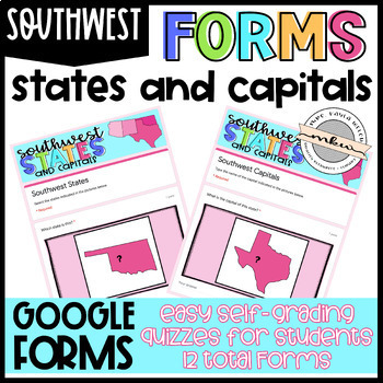
Southwest States and Capitals Quizzes
After your students have studied their states and capitals, test their knowledge with these Google Forms. Assign these on Google Classroom to easily collect student data. These are perfect for distance learning!Why Should you use Google Forms?Self-Grading/Checking Automatically Collects & Organizes DataFully Editable (add/delete/edit questions)Online Testing PracticeWhat’s Included:This resource includes 12 Southwest Region Google Forms - 6 Multiple Choice and 6 Fill In. See the Instructions
Grades:
2nd - 12th
Types:
Also included in: Southwest States and Capitals BUNDLE!
World Geography Word Search Puzzle Continents, Region, Map Activity Worksheets
Keep your students occupied with this World Geography word search puzzle. These are nice activity worksheets to help them learn more and improve their knowledge. Apart from finding the hidden words, your students are given an extra challenge to solve the secret message.The words are placed in various directions - horizontally across or backward, vertically up or down, diagonally up, down or backward. Some words will also overlap or intersect, which makes the puzzle more fun.This can be used befo
Grades:
4th - 7th
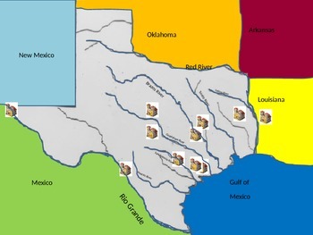
Spanish Missions in Texas
This is a map of the major mission in Texas click by click. Print the second slide and use the interactive mission map to label the major rivers, surrounding principalities, ↦ main missions of TexasTypos have been corrected and an answer key has been updated, previously Fort St. Louis was too far north 10/12/ 2017
Grades:
4th - 7th
Types of Maps Activities
This product is helpful for introducting maps, in particular physical and political maps. Inside this file you will find:-Intro to maps questions-Classroom Map activity-Political vs. Political maps notes and Venn Diagram-Political vs. Political maps printable sorting activity-Promethean Board sorting activity over political and physical maps-Create your own country's maps projectThis are mostly hands-on activities that will have your students demonstrate their knowledge of maps to you. It is a g
Subjects:
Grades:
5th - 8th
Egyptian Pyramids Powerpoint and Assignment
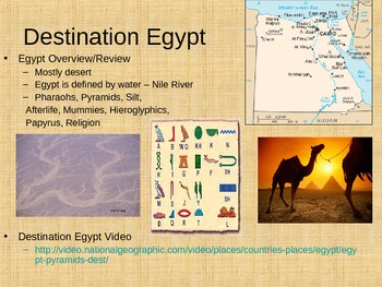
I created a Powerpoint for theEgyptian Pyramids. This item was originally created for a 6th grade class, but it could be used with students that range from 4th grade to 8th grade depending on academic levels. The Powerpoint includes many different pictures and videos that go along with each slide. The lesson took my students about 60 minutes to complete everything and talk about all of the slides in detail. The lesson also corresponds with the NYS standards and Common Core for grade 6 Social Stu
Grades:
4th - 8th
Landforms
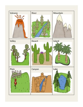
This awesome packet incorportates geography and bits of writing. Students will really enjoy the following worksheets and activities...
1. A cut, glue, and stick landform clip art matching activity.
2. Draw a picture to match the definition of landforms.
3. Make a list of natural resources and write about what you know about them.
4. Rock hunt page where students hunt for 3 different rocks, write their observations, and illustrate their rocks.
5. Matching page with 10 different landfor
Subjects:
Grades:
PreK - 9th
FREEBIE Latitude and Longitude Map Geography Skills Google Slides Pear Deck
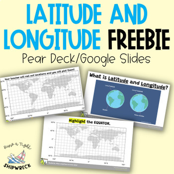
Looking to teach your students the basics of latitude and longitude? Look no further than these interactive Pear Deck slides! This engaging lesson will teach students how to identify lines of latitude and longitude, as well as the Equator and Prime Meridian. With activities that challenge students to determine the definitions of Longitude and Latitude, and opportunities to create and call out a list of locations on a world map using Google Earth or an atlas (not included), this lesson is designe
Grades:
5th - 9th
Types:
Showing 1-24 of 438 results


