🎉 Teacher Appreciation: Save up to 25% using promo code THANKYOU24. Sale ends in 6 hrs 19 min. Learn more
23,678 results
4th grade other (social studies) resources
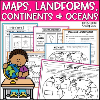
Maps & Globes Continents Oceans Map Skills Worksheet World Map Activity Landform
Interactive Notebooks are a wonderful tool for providing hands-on experiences for learners. This Maps, Continents, and Landforms Interactive Notebook is no exception! The packet is easy to use for both student and teacher. ✅ Click HERE to SAVE 20% on this resource with the Maps, Continents, and Landforms unit and poster bundle!✅ Click HERE to SAVE even more by buying ALL 15 Social Studies Interactive Notebooks and Mini Units in one Year-Long Bundle.Click on the PREVIEW button above to see all t
Grades:
3rd - 5th
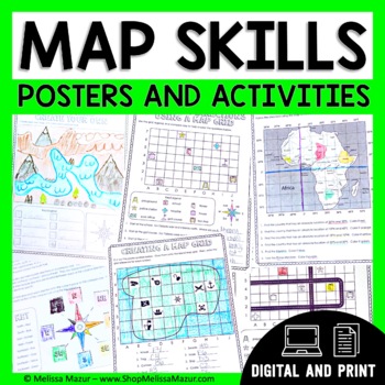
Map Skills Unit - Maps & Globes Activities - Types of Maps
This no-prep map skills unit includes both vocabulary reference posters and activity pages on many different topics. These activities are an engaging way for students to develop their skills and practice reading maps. *UPDATE* You can now share this with your students digitally!This resource was created using Google Slides. You must have a Google email for use. Each section can be assigned in Google Classrooms. It is ideal for distance learning. I also include the print file so you can have a
Grades:
2nd - 4th
Types:
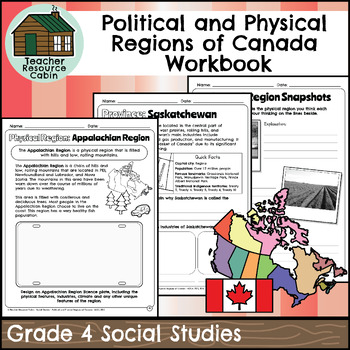
Political and Physical Regions of Canada Workbook (Grade 4 Social Studies)
This workbook covers the Grade 4 Political and Physical Regions of Canada unit in the current 2018 Ontario Social Studies curriculum (People and Environments).In this workbook, students will learn about various aspects of Canada's political and physical regions. They will explore political regions through maps, cardinal directions, and individual provinces and territories, including their flags and key facts. The workbook also covers physical regions, such as the Canadian Shield, Great Lakes-St.
Grades:
4th
Also included in: Grade 4 Ontario Social Studies Workbook Bundle
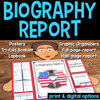
Biography Research Project Graphic Organizer, Templates, Rubrics, Report Writing
Biography Report templates that can be used as a graphic organizer, lap book, or template for a biography project, such as writing a biography research report or summary on any historical person. It's a great resource for Black History Month, Women's History Month, and to make a wax museum project for second grade, third grade, fourth grade, or fifth grade.Students use graphic organizers, activities, and various report options for a biography report presentation or to complete a genre study of
Grades:
2nd - 5th
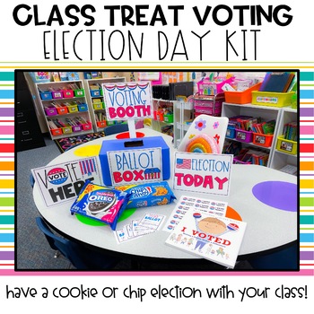
Class Election Day Kit | Election Day | Voting | Mock Election
Have your own Election Day with your students in your classroom without any controversy! This election day activity kit covers several areas of learning (elections, making choices, persuasive writing, graphing, tallying). This PDF resource is ready for you to print and go! What's Included? -Election Today Sign -Vote Here Sign-Voting Booth Sign -Ballot Box Sign -"I Voted Today" stickers to print on Avery 5160 Labels -Cookie Ballot (Oreo vs. Chocolate Chip), Chip Ballot (Wavy Lays vs. Thin Lays),
Grades:
K - 5th
Types:
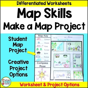
Map Skills Make Your Own Map Project with Map Worksheets and Map Activity
Create your own map using this fun, creative activity to learn about reading maps. Students love designing maps with towns, cities, parks, and islands. They complete practice worksheets and create their maps. This project based learning activity is a hands-on way to interact with maps.You receive:4 map worksheets - becoming progressively more difficult2 compass rose pages for students to complete (choose the level you need)6 different "Make Your Own Map" project pages to choose from3 differentia
Grades:
2nd - 4th
Types:
American Revolution | Revolutionary War | U.S. History Causes of War
Teach the American Revolution with this extensive REVOLUTIONARY WAR BUNDLE, including three units combined into a chronological unit.★ Revolutionary War Causes- Road to Revolution★ Revolutionary War Battles and Events★ Revolutionary War PeoplePLUS an added POSTER PROJECT AND INFORMATIONAL TEXT BOOKLETS!!!Detailed lesson plans take you through 8 weeks of teaching the Revolutionary War. Having it bundled together, you save, save, save! There is no need for a textbook. It is all you need with the
Grades:
3rd - 6th
Types:
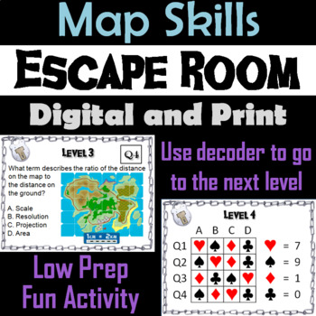
Map Skills Activity Escape Room (Geography Unit: Latitude & Longitude, Map Types
This breakout escape room is a fun way for students to test their skills with maps.Important: (How to Make Completely Digital)This product normally requires the printing of the questions to accompany a digital form for students to input answers. But if you follow a couple simple steps, this can be made entirely digital! Just use the following tool:https://smallpdf.com/split-pdf(choose "extract pages")to extract the pages containing the questions into its own PDF. You can then upload that PDF t
Grades:
4th - 8th
Types:
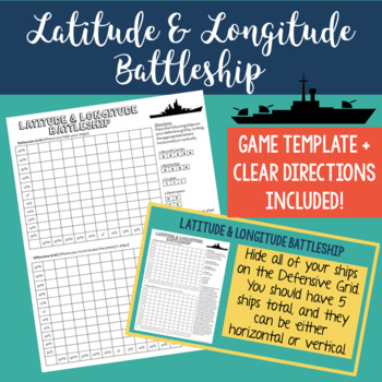
Latitude and Longitude Battleship Game
Help your students practice their latitude and longitude skills in a fun and engaging way using this no-prep latitude and longitude battleship game! The directions are included right on the template, so this is a no prep activity that comes ready to play. I've also provided PowerPoint directions so you can show students how to play as a class. Students will become well-practiced with using a grid and making sure they always give latitude coordinates first. I've used this every year and my studen
Grades:
4th - 8th
Types:
Also included in: Latitude and Longitude Practice Puzzle Review Activities Bundle
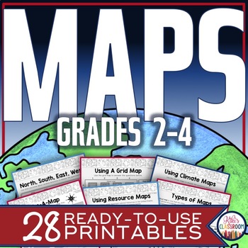
Map Skills Worksheets - Types of Maps, Cardinal Directions, Scale, Reading Maps
This pack of activities for Grades 2 - 4 includes 28 pages of thoughtfully designed printables to engage your students while they practice these basic concepts. You’ll find these ready-to-use pages to be easy to implement and thorough in scope. This resource includes opportunities for your students to acquire information from a variety of maps, to use map elements including the compass rose and scale, and to create their own maps within a defined (and easy to use) set of directions. There’s j
Grades:
2nd - 4th
Types:
Number the Stars Novel Study | Distance Learning | Google Classroom™
This is a complete and engaging novel study for the book Number the Stars by Lois Lowry. This print and go book study is great to use in your classroom when teaching across the curriculum during a World War II unit! It is divided into 3 sections as follows: Chapters 1 - 6, 7 - 12, 13 - End. This unit includes the following:★ Title page for students★ Meet the Author★ Prediction page★ Character notes – 12 main/minor characters (3 optional longer note pages included for 6 of the main characters)★ C
Grades:
4th - 7th
Types:
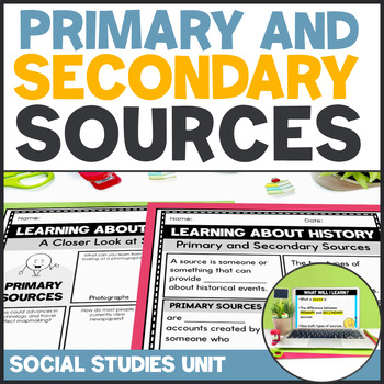
Primary and Secondary Sources Activities - Social Studies Unit 3rd 4th 5th Grade
This extensive Primary and Secondary Sources unit is great for teaching, reinforcing, practicing, and assessing student understanding of this important social studies concept. Your students will learn how to analyze primary and secondary source material through guided lessons, worksheets, sorts, and activities, with a fun project at the end!This best-selling unit is:Comprehensive - can be a standalone resource or a supplement to your existing curriculumEasy-to-Use - includes lesson plans as well
Grades:
3rd - 5th
Types:
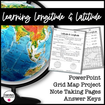
Latitude & Longitude Worksheet for Latitude & Longitude Practice with PowerPoint
This interactive Social Studies lesson engages your students in note-taking of important concepts and lets them use their creativity to show what they have learned!▁▁▁▁▁▁▁▁▁▁▁▁▁▁▁▁▁▁▁▁▁▁▁▁▁▁▁▁▁▁▁▁▁▁▁▁▁▁WHAT IS INCLUDED IN THIS RESOURCE?⇨ 10-page PowerPoint Presentation: Show a vibrant Powerpoint to your students to introduce concepts like longitude, latitude, grid map, coordinates, Prime Meridian, International Dateline, and Equator. ⇨ Accompanying Worksheets: As you engage them in this powerp
Grades:
2nd - 5th
Country Travel Brochure Research Social Studies - Templates and Digital
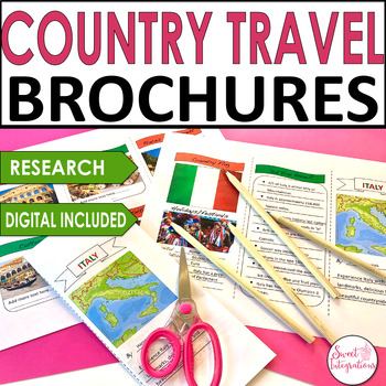
For a great addition to any country research project, try implementing this fun Digital Country Travel Brochure activity. This digital brochure is an engaging way to learn informational text skills or for use in a presentation of country research. Their striking, professional-looking brochures will impress everyone!IN THIS RESOURCE:I've included front and back trifold Powerpoint templates. Country resource websites and graphic organizers. Editable so you can add your own headings.Students resear
Grades:
3rd - 5th
Types:
Constellations Greek Mythology and Zodiac Reading Passages
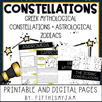
#bestsellerof2023 Greek Mythology and Zodiac Constellation Reading Passages for the Intermediate Grades! This 43-page packet is full of great resources to make planning meaningful academic discussions around Greek Mythology and the Zodiac constellations easy. Students will love the exciting approach, too! This packet includes the following:Greek Mythological Constellations:Andromeda, Canis Major, Cassiopeia, Hercules, Orion, Pegasus, Ursa Major, and Ursa MinorZodiac Constellations:Capricorn, Ari
Grades:
4th - 6th
Types:
Colonial America & 13 Colonies EDITABLE Interactive Notebook U.S. History
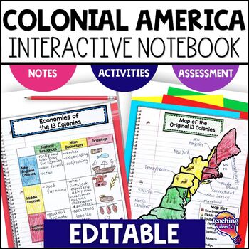
Support upper elementary students’ reading skills with this Colonial America Interactive Notebook. This editable unit is a complete study of the 13 Colonies in American history. It includes interactive activities, maps, timeline, vocabulary, graphic organizers, and assessment.Students study early English Settlements, such as Roanoke, then learn about the development and history of the colonies in the three Colonial regions. This interactive notebook includes activities, maps, and organizers on
Grades:
4th - 6th
50 States Fact Sheets: Templates for all 50 States w/Answer Keys
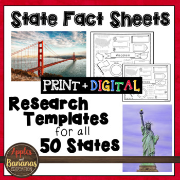
**This product now contains a digital format in addition to a printable (PDF format), perfect for distance learning or paperless classrooms. Looking for a way to get your students to organize the information that they are learning about the 50 states? This little packet is for you. You can bind all 50 sheets to create a "50 State Fact Book" or just have your students use these handy fact sheets to organize their notes. The packet includes a template for each of the 50 states. A "how-to" use thi
Grades:
3rd - 6th
Types:
50 States and Capitals: Maps, Tests, Activities, Google Classroom & Google Forms
Help your students know all 50 states and capitals of the United States with this huge, MEGA-Pack of resources! This product is available in printable PDF, Google Classroom, and Google Forms. A crossword puzzle, word search, test blanks, word banks, and so many more options are also included in this MEGA-Pack! You will even get a mini-research project template for students to research their favorite state, as well as a creative writing template. Whether it be for a civics unit, history class, cl
Grades:
4th - 12th
Types:
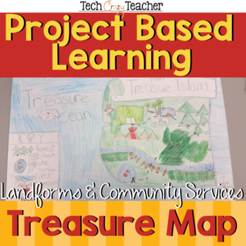
Map Skills Project Based Learning Pirate Treasure Map w/ Landforms & Communities
Need to assess your students' map skills in a fun engaging way? This project-based learning activity assesses elementary student map skills by having them bury their pirate treasure! Students become actively engaged in designing their own island and mapping the route to X Marks the Spot! A great resource for teaching and assessing basic map skills in your social studies classroom! This pirate project includes landforms and community services to make a comprehensive map assessment.This map skill
Grades:
2nd - 5th
Types:
EACH KINDNESS Book Study: Social Emotional Learning Lesson on Kindness + Empathy
The Each Kindness Game Show is an interactive, quiz-show style book study lesson on empathy and kindness. Based on Jacqueline Woodson's beautiful book, "Each Kindness".Now includes both Google Slides™ and Power Point Presentation files, which allows you to use for SEL distance learning, teletherapy, virtual counseling groups, school counseling guidance and in person lessons.***Please note: Jacqueline Woodson's book, "Each Kindness" is not included in this resource.Ways to Use☀️ Social emotional
Grades:
3rd - 6th
Types:
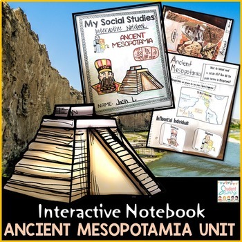
Ancient Mesopotamia Interactive Notebook 6th Grade Ancient History Activities
This comprehensive Social Studies Interactive Notebook enhances your students' understanding of Ancient Mesopotamia. Containing both print and digital versions, this resource covers Sumer, city-states, ziggurats, Hammurabi's Code, and the Epic of Gilgamesh. Engage your students with interactive cut and paste activities, maps, timelines, and more.Ancient Mesopotamia for Interactive Social Studies Notebook {Paper & Digital Versions Included!}***Important Update - Now includes additional, colo
Grades:
4th - 7th
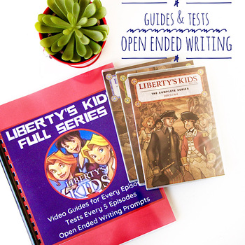
Liberty's Kids BUNDLE 1-40 Video Response Forms, Tests, AND Reflection Questions
Looking for DIGITAL GOOGLE FORMS AND ACTIVITIES for online learning? Click here.Quizzes, Tests, and Thinking Questions -Basic 10 question quiz/ video response form for EVERY episodemultiple choice, T/F, fill in the blank for episodes 1-40-Answer key for each quiz/video response form and test-3 thinking response questions per episode Great to use as discussion questions too.- Additional separate review TESTS provided every 5 quizzes.This is a PDF download but we also have a link to our Google Doc
Grades:
4th - 7th
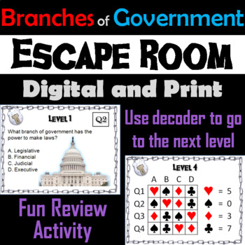
Branches of Government Activity Escape Room: Civics, Constitution Bill of Rights
This breakout escape room is a fun way for students to test their knowledge with the three branches of government. Important: (How to Make Completely Digital)This product normally requires the printing of the questions to accompany a digital form for students to input answers. But if you follow a couple simple steps, this can be made entirely digital! Just use the following tool:https://smallpdf.com/split-pdf(choose "extract pages")to extract the pages containing the questions into its own PDF
Grades:
4th - 9th
Types:
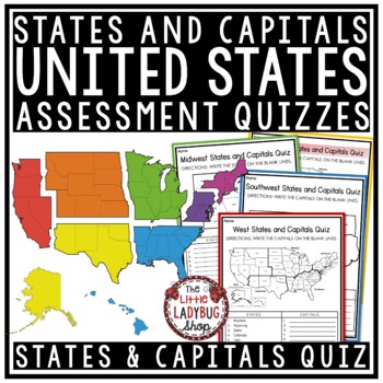
50 US States and Capitals by Region Test Quiz Regions of The United States
These States and Capitals by Region Test/ Quizzes are great for your students to use as they master their memorization. There are several versions to meet your students needs. Kindly Note: If you own my US Research Bundle, this set was added to it for free as a bonus, yay!States and Capitals by Region Test/ Quiz Include:Quiz/ Test: Several options provided & Answer KeyLarge US Map labeled version #1Regions with State labeled Version #2Region with state and no label version #3Version #4- 6: w
Grades:
3rd - 4th
Types:
Showing 1-24 of 23,678 results

