95 results
8th grade geography clip arts $5-10
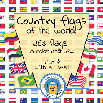
Country flags of the world: 263 Country flags - clip art bundle (1052 clips!)
Country flags of the world: 263 Country flags. HUGE clip art BUNDLE!
This clip art contains 263 flags, in 2 forms (flat and with mast) in color and black & white line art.
Contains all the flags of the countries of the world : 195 Countries.
Look at the complete list of flags by downloading the preview
A total of 1052 clips!
Included:
263 color flag (flat) clip art flag set- PNG format
263 B&W flag (flat) clip art set- PNG format
263 color flag (with mast) clip art set- PNG format
Grades:
PreK - 12th, Higher Education, Adult Education
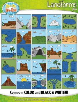
Landforms Clipart {Zip-A-Dee-Doo-Dah Designs}
Enhance your geography or science resources with these Landform clip art graphics. The images would look great on posters around your classroom. You could also use them to create task cards or a matching activity. Students would enjoy coloring the black and white versions as well!
The set includes a total of 50 images (25 Color and 25 B&W). Please see all preview images and list below for all graphics included in this set. The images are high resolution (300 DPI) which means high quality pr
Grades:
PreK - 8th
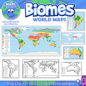
Biomes - Maps of the World and Continents Clip Art
Biomes World MapsHigh quality color and black and white maps of biome regions of the world. This clipart map set contains the following commercial use graphics:- Color maps of the world biome areas- Black and white line art maps of the world biome areas to color (with blank legend / key to also color)- Maps with and without the equator and geographic lines- Maps of continents showing biome regions- Maps of the world showing individual biome regions (for example: maps showing where the worlds tem
Grades:
3rd - 12th, Higher Education, Adult Education, Staff
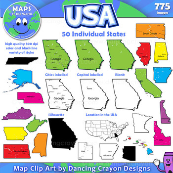
Maps of US States: Clip Art Map Set
Maps of US States: Color and Black and White States of the USAMap Collection: US StatesA huge colorful collection of clip art maps of the 50 states of the USA! 775 images!The set includes both color and black and white line art. Both labelled and blank. Perfect for creating projects and worksheets.This clipart map set contains the following commercial use graphics:- Black and white line art maps of each of the 50 states of America- Colorful clip art maps of the 50 US states- Map
Grades:
3rd - 12th, Staff
Also included in: Maps of the World Clip Art - MEGA-BUNDLE
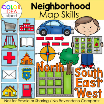
Neighborhood Map Skills
This set contains 64 images files as shown on preview pages wich includes 32 color images and 32 black line versions. Images saved at 300 dpi in png files.Check out these related clipart sets:Map Skills Clip ArtMap PointersTypes of Maps Clip Art (USA)I also have quite a complete selection of clipart in the following bundle:USA Maps - BUNDLEUS Regions BundleLandforms Bundle☆ Click to follow me to get freebies and updates on new products!☆ Follow Color Idea Clipart on Pinterest☆ Follow Color Ide
Grades:
PreK - 12th
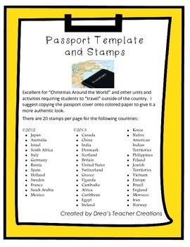
"Around the World" Passport Template and Stamps
This set jam-packed with a template for a passport and destination stamps for 40 countries. More stamps here.
The passport template includes the outer cover and inside cover with your choice of 2 reflections prompts to be completed at the end of your "travels".
There are 20 stamps per page for the following countries in full color:
• Japan
• Australia
• Israel
• South Africa
• Italy
• Germany
• Russia
• Spain
• Holland
• Sweden
• France
• Saudi Arabia
• Mexico.
• Canada
• China
• India
• Denm
Grades:
1st - 12th
CCSS:
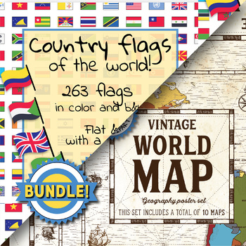
Country flags of the world & World map and continent - School Clip Art - BUNDLE
BUNDLE! Country flags of the world & World map and continent Product #1: Link to the productCountry flags of the world: 263 Country flags. HUGE clip art BUNDLE!This clip art contains 263 flags, in 2 forms (flat and with mast) in color and black & white line art.Contains all the flags of the countries of the world : 195 Countries.Look at the complete list of flags by downloading the previewA total of 1052 clips!Included:263 color flag (flat) clip art flag set- PNG format263 B&W flag
Grades:
PreK - 12th, Higher Education, Adult Education, Staff
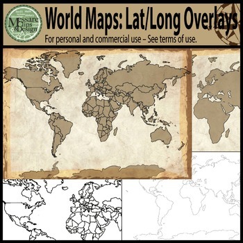
Maps: The World w/ Longitude & Latitude Overlays {Messare Clips & Design}
Sharpen your map skills!
This hugely diverse set of World Maps with Longitude and Latitude Overlays contains 25 individual high resolution graphics. All maps are shown in the thumbnail. There are 10 individual Latitude and Longitude Overlays that will provide you a wide range of uses.
There are two Latitude & Longitude scale variations used in the 10 overlays. One scale uses 30 degree intervals and the other uses 15 degree Latitude and 20 Degree Longitude intervals.
(Not all overlays de
Grades:
PreK - 12th, Higher Education, Adult Education
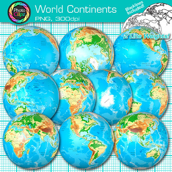
World Continent Clipart: Earth Seven Continents Map Geography Clip Art PNG
World Continent Clip Art: Explore the seven continents with your buddying social studies students using this pack of globe clipart. Create exciting visuals to teach about the seven continents of planet Earth. Design posters to illustrate the difference between the four hemispheres for your world geography unit. Make worksheets to instruct your students on learning map skills, longitude and latitude, as well as cardinal directions.WHAT IS CLIP ART?Clip art (or "clipart") are digital images that c
Grades:
PreK - 12th
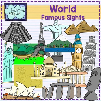
World Famous sights - landmarks clipart Social studies clip art
Introducing our remarkable "Famous Landmarks Around the World" clip art set! This collection showcases an array of iconic landmarks, offering both line art and colored images that are perfect for a variety of creative projects. From historical sites to architectural marvels, these graphics are sure to add a touch of global charm to your designs.Included in this set are the following landmarks:Big BenTaj MahalGreat Wall of ChinaChrist the Redeemer (statue)Eiffel TowerMount FujiNazca LinesPartheno
Grades:
PreK - 12th, Staff
Also included in: World Social Studies clip art {Bundle} over 500 graphics
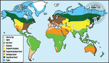
Maps: Biomes of the World {Messare Clips & Design}
This custom request set of World Biomes contains 20 individual high resolution (300 dpi) maps. All maps are shown in the thumbnail/preview. There are 10 full color and black and white maps depicting the following biomes:
- Alpine
- Tundra
- Rain Forest
- Taiga (Boreal Forest)
- Polar Ice Cap
- Subtropical Desert
- Temperate Grasslands
- Temperate Deciduous Forest
- Shrubland
This set is exported in both PNG and JPEG formats.
If you have questions, or you're looking for additions or specific
Subjects:
Grades:
PreK - 12th, Higher Education, Adult Education
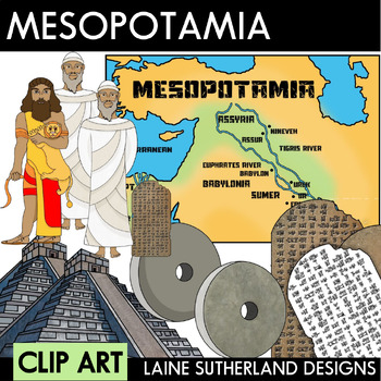
Mesopotamia Clip Art Set
This requested set is done in a more realistic style and includes the following (in colour, b&w, and blacklines): Gilgamesh (holding a lion)Hammurabi (with & without stele)A stele (with & without cuneiform)A wheelA zigguratA map of Mesopotamia (b&w and colour only)3 Mesopotamia headingsYou may also like myDandelion Clip Art SetWater Cycle Clip Art SetWant to use my clip art as moveable pieces in digital products? You can purchase my Entire Store Moveable Pieces License here.This
Subjects:
Grades:
4th - 12th
Also included in: BUNDLE - Clip Art Sets
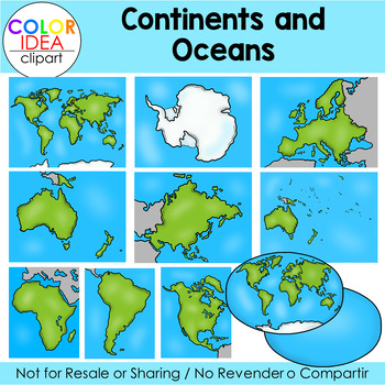
Continents and Oceans
Teach your students all about Continents and Oceans with this clipart set.This set contains 36 images as shown on preview pages, which includes 18 color images and 18 black line versions. Images saved at 300 dpi in png files.Check out these related clip art set:Weathering, Erosion and DepositionTypes of Maps Clip Art (USA)I also have quite a complete selection of clipart in the following bundle:Earth Science - Geology Mega BundleLandforms BundleUSA Maps - BUNDLE☆ Click to follow me to get freebi
Subjects:
Grades:
PreK - 12th
Also included in: Science Mega Growing Bundle 1
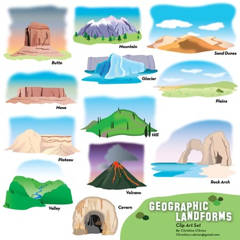
Geographic Features and Landforms Clip Art Set
Colorful and detailed illustrations of various landforms and geographic features.
This set includes images of the following:
- Butte
- Mesa
- Plateau
- Valley
- Mountain
- Glacier
- Hill
- Volcano
- Cavern
- Sand Dunes
- Plains
- Natural Bridge / Rock Arch
** Note: I've only included the labels on the product thumbnails and PDF preview file. They are NOT on the actual .png clip art file. **
Includes 24 images: .png format, 300 dpi.
- 12 full color images
- 12 black and white
- PDF preview f
Subjects:
Grades:
PreK - 12th
Types:
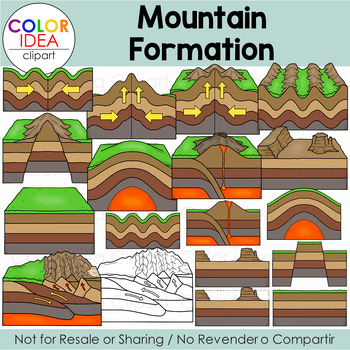
Mountain Formation
This clipart set will help your students learn about the types of mountains and how they formed. Included in this set: fault-block, volcanic, fold, dome and residual.This set contains 34 images as shown on preview pages, 17 color images and 17 black line versions. Images saved at 300 dpi in png files.Check out these related clip art set:Layers of the EarthIgneous Rocks FormationSedimentary Rocks FormationEarthquakesVolcano Clip ArtWeathering, Erosion and DepositionLandslidesI also have quite a
Subjects:
Grades:
4th - 12th
Also included in: Changes to Earth's Surface Bundle

Maps of South America: Black and White BUNDLE
Maps of South America: Black and White BUNDLE
Map Collection: South America BW Bundle
VALUE-PACK: This is a money-saving bundle containing black and white maps of the South American continent along with multiple maps of each South American country.
If you don't need the color maps, this is the ideal pack for you!
If you're looking for a set that includes the color maps as well, please see the following link:
Click here for full bundle with color maps included!
This clipart map set contai
Grades:
3rd - 12th, Staff
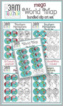
World Maps Clip Art: Mega Bundle Savings!!
This set includes over 80 beautifully detailed graphics in full color and black and white! Perfect for Common Core aligned lessons and resources!!
Included in this Bundle Savings:
Northern Hemisphere Set
Southern Hemisphere Set
Eastern Hemisphere Set
Western Hemisphere Set
Flat World Maps Set
Save over 40% when you purchase the Bundle!!!
All images are in PNG format (translucent background)
300 DPI (Perfect resolution for printing and re-sizing)
Thank you for your support & stopping by
Grades:
PreK - 12th, Higher Education, Adult Education, Staff
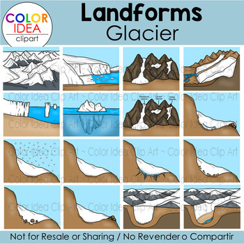
Landforms - Glacier
This set contains 38 images as shown on preview pages, wich includes 19 color images and 19 plack line versions. Images saved at 300 dpi in png files.Check out these related clip art set:Weathering, Erosion and DepositionWater CycleLandforms - RiverLandforms - CanyonLandforms - ValleyI also have quite a complete selection of clipart in the following bundle:Earth Science - Geology Mega BundleLandforms Bundle☆ Click to follow me to get freebies and updates on new products!☆ Follow Color Idea Clipa
Subjects:
Grades:
PreK - 12th
Also included in: Science Mega Growing Bundle 1
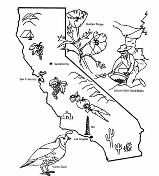
50 State Outline and Vacation Postage stamps for Coloring and Fun Information
50 United StatesA collection of 100 state outlines and postage stamps. A great way for students to learn about our 50 States. Each image is ready for coloring and contains information about each State. The images will fill an 8.5 x 11 sheet of paper and are conveniently labeled as portrait or landscape for easy printing.This is a fun and informative task for your students to do and would look great on the walls of your room!
Subjects:
Grades:
5th - 8th
Types:
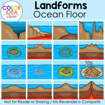
Landforms - Ocean Floor
This set contains 34 images as shown on preview pages, 17 color images and 17 black line versions. Images saved at 300 dpi in png files.Check out these related clip art set:Layers of the EarthContinents and OceansWater CycleLandforms - Delta RiverLandforms - CanyonVolcano Clip ArtMountain FormationI also have quite a complete selection of clipart in the following bundles:Landforms BundleEarth Science - Geology Mega Bundle☆ Click to follow me to get freebies and updates on new products!☆ Follow C
Subjects:
Grades:
PreK - 11th
Also included in: Science Mega Growing Bundle 1
Children of the World clipart, World Children, ethnic clipart - PART 4
Our Children around the world clipart is created with an intention of educating our students about world cultures, traditional dressing, and more which will be our main focus in creating more content. Stay tuned!--------------------------------------------------------------------------------------19 total images (10 vibrant, colored images, 9 BW versions)All images are saved as PNG formats with transparent backgrounds and are of High resolution - 300 dpi.-----------------------------------------
Grades:
PreK - 8th, Higher Education, Adult Education, Staff
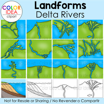
Landforms - Delta River
This set contains 32 images as shown on preview pages, wich includes 16 color images and 16 plack line versions. Images saved at 300 dpi in png files.Included in this set:Amazon DeltaDanube DeltaFly DeltaGanges DeltaGrijalva DeltaMississippi DeltaNile DeltaRiver DominatedTide DominatedWave DominatedHybridGilbert type delta diagramDelta Formation (3 images)Check out these related clip art set:Continents and OceansWeathering, Erosion and DepositionWater CycleLandforms - RiverLandforms - CanyonLand
Subjects:
Grades:
3rd - 12th
Also included in: Science Mega Growing Bundle 1
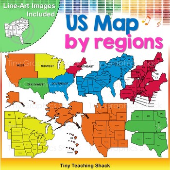
USA Map by Regions Clip Art
This is a complete set of maps by regions: Midwest, Northeast, Southeast, Southwest, and West. There are three sets for each region. One with full names (ex: Georgia), one with abbreviations (ex: GA), and one with no writing or inside lines. There are black and white images for each of the colored ones.
All of the images are shown on the cover page.
The images will have high resolution, so you can enlarge them for your teaching materials. They are in .png format, so you can easily layer the
Subjects:
Grades:
2nd - 8th
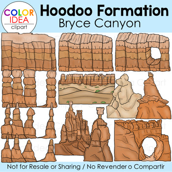
Hoodoo Formation - Bryce Canyon
This set contains 24 images as shown on preview pages, wich includes 12 color images and 12 plack line versions. Images saved at 300 dpi in png files.Check out these related clip art set:Weathering, Erosion and DepositionCanyon FormationLandforms - CanyonSedimentary Rocks FormationMountain FormationI also have quite a complete selection of clipart in the following bundles:Landforms BundleSoil Clip Art BundleForms of Energy Clip ArtEarth Science - Geology Mega BundleEarth Science - Geology Mega
Subjects:
Grades:
3rd - 12th
Also included in: Changes to Earth's Surface Bundle
Showing 1-24 of 95 results


