492 results
Free geography posters
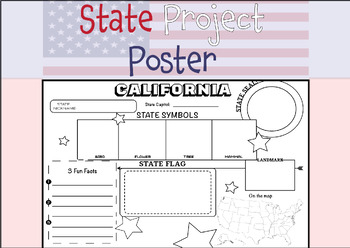
50 STATE RESEARCH PROJECT
These State Report poster templates are a fantastic resource that includes over 50 eye-catching posters to showcase your research project on any of the fifty United States. They are perfect for use throughout the year and are an excellent complement to social studies lessons, helping students to better organize their research. These state posters are not only useful for helping students to organize their research, but they also make great bulletin boards or hallway displays. Your students will b
Subjects:
Grades:
3rd - 12th, Higher Education, Adult Education
Types:
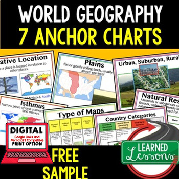
Geography Anchor Charts Sampler Free, World Geography Posters
Geography Free Anchor Charts (Great as Bellringers, Word Walls, and Concept Boards)(Great as Bellringers, Word Walls, and Concept Boards), Mapping Skills Posters, Geography Review Pages, Digital Activity via Google Classroom This bundle will take your through the entire Geography curriculum. It will include all components of Geography. This is perfect for traveling around the world in style. Sign up for email updates and follow me on TPT for updates.Anchor charts are great for representing
Grades:
6th - 12th
Types:
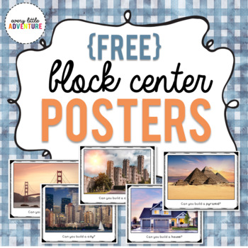
Block Center "Can You Build It" Posters
This freebie includes 5 signs for your classroom's block center. Your students can challenge themselves to see if they can build a house, a pyramid, a castle, a city, and a bridge!ALL IMAGES USED WITH PERMISSION.*****************************Looking for more ways to keep your preschoolers engaged? Try these hands-on activities! Bye Bye Fly We're Going on a Leaf Hunt!Apple Shape Sort GameBee Interactive Emotions Chart
Subjects:
Grades:
PreK - K
Types:
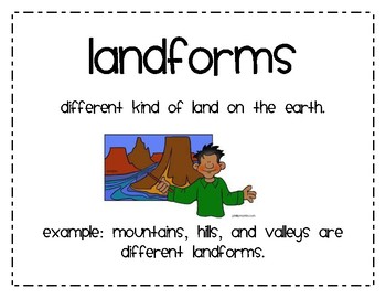
Landforms Second Grade
10 Word Cards that explain major types of landforms Made for a second grade social studies lesson on landforms.
Cards include a definition of landform as well as definition for 4 types of landforms:
Mountain
Hill
Valley
Plain
Ocean
Lake
Pond
River
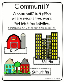
Rural, Urban, Suburban Communities Poster
Social Studies poster includes the definition of Community, plus image samples of 3 types of communities (Rural, Urban and Suburban). Also includes mini-posters with Rural, Urban and Suburban definitions.
By Patricia Morin
Subjects:
Grades:
Not Grade Specific
Types:
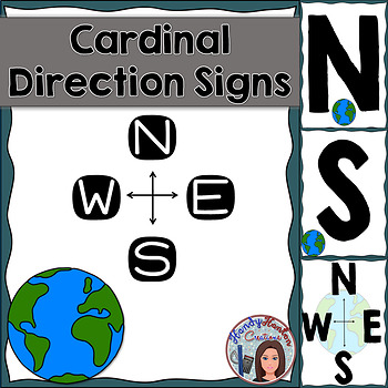
Cardinal Directions Geography Signs Blue
Hang cardinal direction and compass rose signs in your classroom to visually help your students with mapping concepts.
Product includes:
• North
• South
• East
• West
• Compass Rose with North, South, East, and West
• Compass Rose with N, S, E, and W
You might also be interested in:
The United States and Capitals Geography Review Activities and Assessment BundleThe United States and Capitals Geography Northeast Region Freebie SampleThe United States and Capitals Geography Review Activities
Subjects:
Grades:
K - 12th
Types:
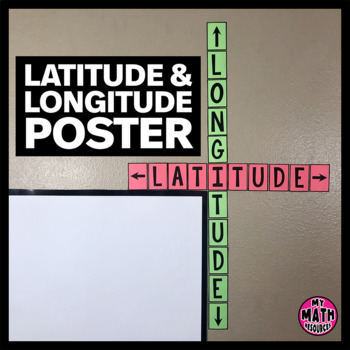
FREE Latitude & Longitude Poster - Classroom Decor
These simple latitude and longitude posters are a cute addition to ANY classroom! Wrap them around the corner of your whiteboard or bulletin board and they hardly take up any space at all.These posters will help your students remember the difference between latitude and longitude. And they are free!This is a black & white DIY poster. Print the pieces you want to use, cut them out, and assemble your poster. If you want your poster to look like mine, you'll need to print it on Astrobrights
Subjects:
Grades:
Not Grade Specific
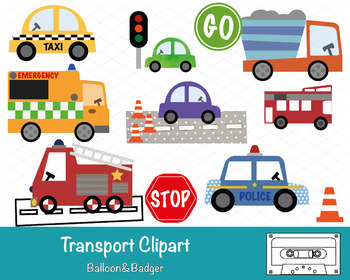
Transport Clipart
This pack of clipart contains 14 images including; Taxi, Ambulance, Fire Engine, Police Car, Bus, Stop & Go Signs, Construction Truck, Road textures and traffic lights.Each clipart illustration is included separately as a high resolution PNG file with a transparent background.Each object is provided at a size of approximately 12 Inches on its longest side and is at a high resolution (300 dots per inch). The PNG format allows it to be scalable to any size required. No watermarks will appear o
Subjects:
Grades:
PreK - K
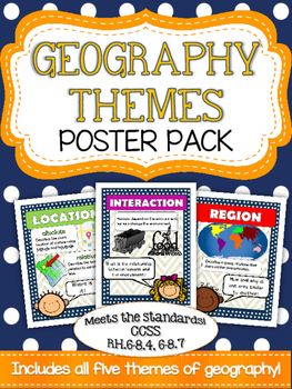
Five Themes of Geography Poster Pack
Mrs. K in the Middle brings you yet another quality product targeting essential vocabulary! Anchor your geography unit with these five basic themes posters! Bright and colorful graphics highlight place, location, region, movement and interaction. Use these posters to introduce a topic and to reinforce as you build your unit!
Subjects:
Grades:
5th - 8th
Types:
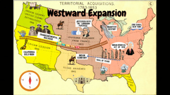
Westward Expansion Visualizer GIF
GIF (moving animated picture) showcasing major topics during the Westward Expansion unit. Based on NYS Social Studies standards, topics in GIF include Gold Rush, Indian Removal Act, Trail of Tears, Transcontinental Railroad, Louisiana Purchase, Erie Canal, and Manifest Destiny.Totally FREE for YOU!
Grades:
5th - 12th
Types:
CCSS:
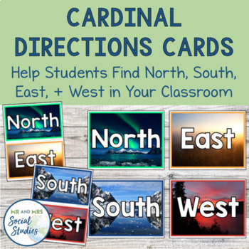
Cardinal Directions Cards | North South East West
This FREE cardinal directions printable is a must for your social studies classroom! The presence of these North, South, East, and West cards in your classroom helps students apply what they are learning about cardinal directions and helps them get their bearings.With three different designs and three different sizes included, you can choose the option that is best for you and place those North, South, East, and West cards up on your walls! Simply print and attach to your walls!The 3 designs inc
Grades:
6th - 9th
Types:
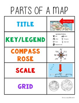
Parts of a Map Anchor Chart
Hang in your classroom or glue into student notebooks for a quick visual reminder of the parts of a map.
Subjects:
Grades:
Not Grade Specific
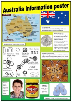
Australia - Information posters
These 2 posters contain simple information about Australia to support learning more about my beautiful country!
These posters can be used for displays in the classroom.
The pictures have been obtained using 'google' images.
Grades:
PreK - 4th
Types:
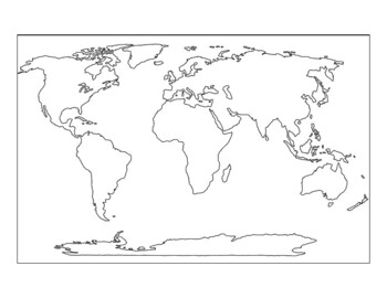
9-piece printable world map for the wall
If you have ever wanted to print a world map for your wall, or a big map for students to color, this map prints on 9 sheets of paper (3x3) to give a final map of 21x30 inches. It has dashed lines to show you where to cut and solid edges around the border. The files is 10 pages total, and the last page is the original map that I expanded. The world map is royalty-free and downloaded from Niche Gallery. I love the huge maps from Owl and Mouse maps (check them out!) but my printer does not print to
Grades:
Not Grade Specific
Types:
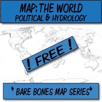
**Free** World Political & Hydrography Blank Map **Barebones Map Series**
**Geography Bare Bones Map Series**This blank WORLD MAP is ready for students to color, label, or use at the teacher's whim. This item was created using open-source maps, Adobe Illustrator, and Autodesk Sketchbook by the Human Imprint. This bare bones series is inspired by the teacher's never-ending quest to find the perfect blank map.Files are in .png format so that you can bring in to Word and stretch to your needs. I've found that .3'' margins (all sides) within Word's page setup, is the furt
Grades:
Not Grade Specific
Types:
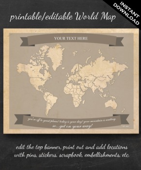
World Map Printable - Printable Editable Map Instant Download - Geography
The perfect printable for:
- geography lessons,
- plotting character's journeys in books,
- marking the regions you learn about throughout the year,
- tracking family history,
- practicing country and continent memorization,
- reviewing current events,
- and more!
ABOUT THE MAP
Printable on US Letter size paper (8.5"x11" or 21.59cm x 27.94cm) you'll need a pdf reader to open. Opened with Adobe, you'll be able to edit the top banner with your name, child's name, year, book title, "Our Advent
Grades:
3rd - 12th, Higher Education
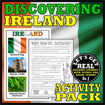
IRELAND: Discovering Ireland Activity Pack
Enrich your study of the Emerald Isle with this FREE Discovering Ireland Activity Pack that includes six cross-curricular printables and an 11 x 17 inch photo poster. Printables and Posters Included:All Things Irish challenges students to sort fifteen Irish vocabulary words into the five categories of Famous Irish Americans, Foods, Products, Places, and Folktales and Legends.Emerald Isle is a Word Search puzzle that highlights eighteen words associated with Ireland.Ireland or Northern Ireland? i
Subjects:
Grades:
1st - 5th
Also included in: DISCOVERING COUNTRIES AND CULTURES AROUND THE WORLD GROWING BUNDLE
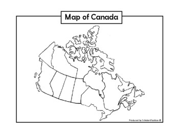
Blank Map of Canada
Use this blank map of Canada to help your students learn Canadian geography. Students can colour, label, and learn all the provinces and territories. This eye-catching map is sure to be a hit in your classroom!For other exciting educational packs and free printables, be sure to visit our TpT store. Follow us to to make sure never miss out on upcoming freebies and other materials.*As printer settings may vary, we recommend selecting the 'fit' option before printing this material.*
Subjects:
Grades:
K - 2nd
Types:
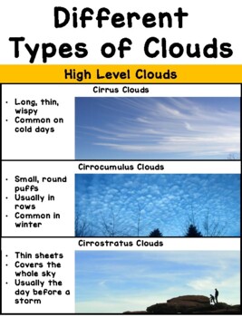
Types of Clouds Poster
Printable poster perfect for aspiring meteorologists! Print, assemble, and post on near your windows to help students identify (and characterize) the different types of clouds in our sky. I'd recommend printing it out on card stock paper with laminating for extra durability! The full size poster measures about 30" in length, but it can be made smaller by adjusting the printing size on your printer options. Works well as a personal cloud chart when printed 2 pages per sheet, then assembled in the
Subjects:
Grades:
PreK - 8th
Types:
NGSS:
K-ESS2-1
, 3-ESS2-1
, K-ESS3-2
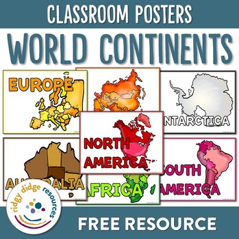
Continents of the World Classroom Posters
Familiarise your students with the continents around the world using these brightly coloured classroom posters. Including posters for each of the 7 continents as well as letters to form the word continents, they are bound to support your students as they explore these diverse continents!If you liked the look of this resource, you may also like:- Continents of the World Lapbook Templates- Australian Geography and Landmarks Worksheets- Australian Landmarks PostersFAQCan I share this resource with
Subjects:
Grades:
1st - 3rd
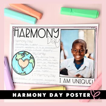
Harmony Day | Poster | Class Display
Harmony Day | Poster | Class DisplayElevate your classroom's ambiance with our interactive Harmony Day Poster, fostering unity and creativity. Each student's unique touch, whether a 4x6 photo or a self-portrait, transforms it into a captivating class display. Embrace diversity while instilling values with this comprehensive pack, complete with a Harmony Day certificate. Empower young minds to understand and contribute to a harmonious world.Check out these other celebrations resources:Valentine's
Subjects:
Grades:
1st - 3rd
Types:
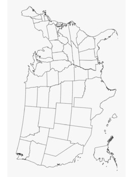
3 blank maps, printable maps of U.S.A. and North America
Blank map poster of the U.S.A. and 50 statesMap of North America with major citiesBlank map poster of 13 colonies for proclamation of 1763 Print and Laminate Maps for reusable map work in your social studies classroom
Grades:
5th - 12th
Compass Directions, North East South West - ZisforZebra Freebie
Another freebie! Get your compass directions to hang on the wall to help students know which way is north, south, east, and west. Note real compass is not included.
This is a zip file with 4 transparent pngs for you to print out and use in your classroom.
Grades:
PreK - 8th
Types:
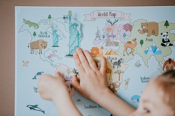
World Exlporer Set
Hands on activity to learn about geography and animals.Become a traveler and explore the whole world by painting, cutting, gluing and learning. Create Your own collage for each continent. Find the animals and their home. World map use for coloring, learning or play room decor.Develop creativity and fine motor skills by designing world map. Creative Workshop for all family: 1. World map - colored/ uncolored2. World map with animals - colored/ uncolored3. World map puzzle - colored/uncolored3. C
Subjects:
Grades:
PreK - 3rd
Types:
Showing 1-24 of 492 results


