98 results
Higher education geography poster pdfs
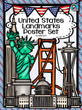
United States Landmarks Facts & Poster Set
If you are looking to improve your students skills in Geography here is the resource you need. I had so much fun researching these Landmarks and sparkle my skills also with the new facts on the most famous landmarks of the United States. Lots of information, but cool things you can use in class. Here is a set of Posters with their Fact Sheet. You can print it on card stock with double sided with the facts or separated to create your own activities for your students. The will have fun with ge
Grades:
PreK - 12th, Higher Education, Adult Education, Staff
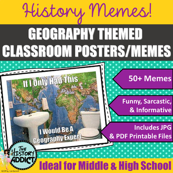
Geography Themed Classroom Posters (Memes)
What is a meme? Students will no doubt know exactly what a meme is, but probably have a hard time defining one. Essentially memes are humorous images or a piece of text that is spread rapidly by Internet users. Yep. That’s the basic definition. But who cares about that? Well, your students, of course. They create and distribute memes to their friends all the time. Why not take advantage of what they love doing and incorporate it in your classroom? One of my favorite ways to connect with students
Grades:
5th - 12th, Higher Education, Adult Education
Also included in: Middle Grade Geography Instructional Bundle
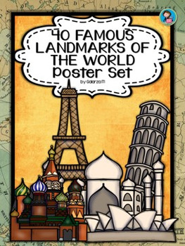
40 Famous Landmarks of the World Poster Set
If you are looking to improve your students skills in Geography here is the resource you need. I had so much fun researching these Landmarks and sparkle my skills also with the new facts on the most famous landmarks of the World. Lots of information, but cool things you can use in class. Here is a set of Posters each with a Fact Sheet. You can print it on card stock with double sided with the facts or separated to create your own activities for your students. The will have fun with geography
Grades:
PreK - 12th, Higher Education, Adult Education, Staff
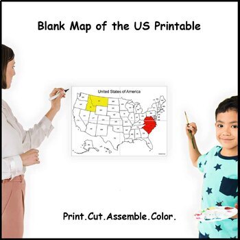
Large Blank US Map With States Labeled (4 sheets)
Instant download print at home blank map of the United States with states labeled.4 sheets of paper designed to interlock with each other.Fun way to learn about the country and its states.Involves activities like cutting, assembling, and coloring that help develop motor coordination, creativity, concentration, and organization.Size after assembled (approximately):4 sheets: 19 x 13.5 in (47.5 x 34.5 cm)More sizes available:9 sheets - Click here16 sheets - Click here
Grades:
K - 12th, Higher Education, Adult Education
Types:
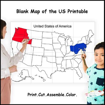
Giant Blank US Map Without States Labeled (16 sheets)
Instant download print at home blank map of the United States without states labeled.16 sheets of paper designed to interlock with each other.Fun way to learn about the country and its states.Involves activities like cutting, assembling, and coloring that help develop motor coordination, creativity, concentration, and organization.Size after assembled (approximately):16 sheets: 38 x 27 in (95 x 69 cm)More sizes available:4 sheets - Click here9 sheets - Click here
Grades:
K - 12th, Higher Education
Types:
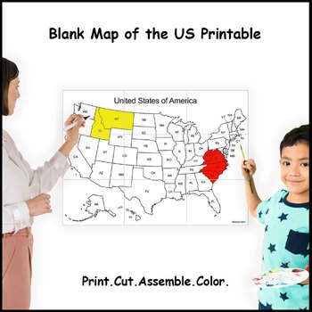
Giant Blank US Map With States Labeled (9 sheets)
Instant download print at home blank map of the United States with states labeled.9 sheets of paper designed to interlock with each other.Fun way to learn about the country and its states.Involves activities like cutting, assembling, and coloring that help develop motor coordination, creativity, concentration, and organization.Size after assembled (approximately):9 sheets: 28 x 20 in (71.5 x 51.5 cm)More sizes available:4 sheets - Click here16 sheets - Click here
Grades:
K - 12th, Higher Education
Types:

Giant Blank US Map Without States Labeled (9 sheets)
Instant download print at home blank map of the United States without states labeled.9 sheets of paper designed to interlock with each other.Fun way to learn about the country and its states.Involves activities like cutting, assembling, and coloring that help develop motor coordination, creativity, concentration, and organization.Size after assembled (approximately):9 sheets: 28 x 20 in (71.5 x 51.5 cm)More sizes available:4 sheets - Click here16 sheets - Click here
Grades:
K - 12th, Higher Education
Types:
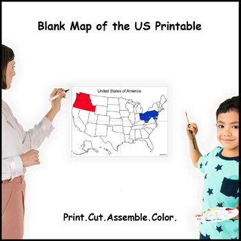
Large Blank US Map Without States Labeled (4 sheets)
Instant download print at home blank map of the United States without states labeled.4 sheets of paper designed to interlock with each other.Fun way to learn about the country and its states.Involves activities like cutting, assembling, and coloring that help develop motor coordination, creativity, concentration, and organization.Size after assembled (approximately):4 sheets: 19 x 13.5 in (47.5 x 34.5 cm)More sizes available:9 sheets - Click here16 sheets - Click here
Grades:
K - 12th, Higher Education
Types:
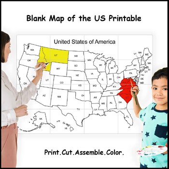
Giant Blank US Map With States Labeled (16 sheets)
Instant download print at home blank map of the United States with states labeled.16 sheets of paper designed to interlock with each other.Fun way to learn about the country and its states.Involves activities like cutting, assembling, and coloring that help develop motor coordination, creativity, concentration, and organization.Size after assembled (approximately):16 sheets: 38 x 27 in (95 x 69 cm)More sizes available:4 sheets - Click here9 sheets - Click here
Grades:
PreK - 12th, Higher Education
Types:

Understanding Discrimination Around the World
Check out the examples of student work in the thumbnails! Dive into the complexities of discrimination with this engaging and thought-provoking project, "Understanding Discrimination Around the World." In today's interconnected world, fostering empathy, awareness, and critical thinking skills in students is more crucial than ever. This project offers a unique opportunity to explore the multifaceted nature of discrimination across diverse cultures and regions, empowering students to become inform
Grades:
10th - 12th, Higher Education
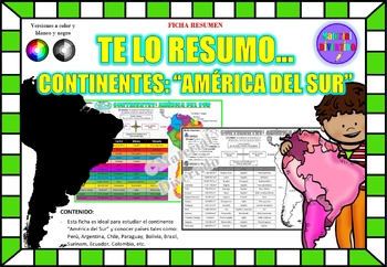
FICHA RESUMEN - Te lo Resumo... "América del Sur" (IMPRIMIBLES) |GEOGRAFÍA|
A sus estudiantes les encantará esta ficha resumen sobre "Los Continentes: América del Sur". Esta hoja incluye pequeños datos del hombre de: Perú, Chile, Argentina, Brasil, Paraguay, Venezuela, etc. Esta hoja resumen es perfecta para revisión, una actividad rápida, un proyecto de investigación, un organizador gráfico, centros, proyectos de toda la clase o proyectos de equipo. Los estudiantes pueden divertirse mientras aprenden todo sobre el continente de América del Sur. ¡Esta hoja resumen es pe
Grades:
PreK - 12th, Higher Education, Adult Education
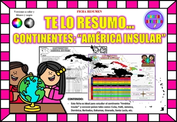
FICHA RESUMEN - Te lo Resumo... "América Insular" (IMPRIMIBLES) |GEOGRAFÍA|
A sus estudiantes les encantará esta ficha resumen sobre "Los Continentes: América Insular (Antillas)". Esta hoja incluye pequeños datos del hombre de: Cuba, Haití, Jamaica, Dominica, Barbados, Bahamas, Granada, Santa Lucía, etc. Esta hoja resumen es perfecta para revisión, una actividad rápida, un proyecto de investigación, un organizador gráfico, centros, proyectos de toda la clase o proyectos de equipo. Los estudiantes pueden divertirse mientras aprenden todo sobre el continente de América In
Grades:
PreK - 12th, Higher Education, Adult Education
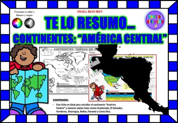
FICHA RESUMEN - Te lo Resumo... "América Central" (IMPRIMIBLES) |GEOGRAFÍA|
A sus estudiantes les encantará esta ficha resumen sobre "Los Continentes: América Central". Esta hoja incluye pequeños datos del hombre de: Guatemala, El Salvador, Honduras, Nicaragua, Belice, Panamá y Costa Rica. Esta hoja resumen es perfecta para revisión, una actividad rápida, un proyecto de investigación, un organizador gráfico, centros, proyectos de toda la clase o proyectos de equipo. Los estudiantes pueden divertirse mientras aprenden todo sobre el continente de América Central. ¡Esta ho
Grades:
PreK - 12th, Higher Education, Adult Education
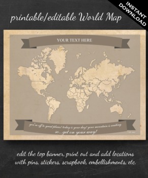
World Map Printable - Printable Editable Map Instant Download - Geography
The perfect printable for:
- geography lessons,
- plotting character's journeys in books,
- marking the regions you learn about throughout the year,
- tracking family history,
- practicing country and continent memorization,
- reviewing current events,
- and more!
ABOUT THE MAP
Printable on US Letter size paper (8.5"x11" or 21.59cm x 27.94cm) you'll need a pdf reader to open. Opened with Adobe, you'll be able to edit the top banner with your name, child's name, year, book title, "Our Advent
Grades:
3rd - 12th, Higher Education
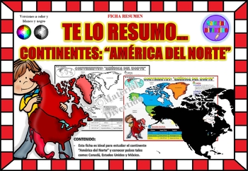
FICHA RESUMEN - Te lo Resumo... "América del Norte" (IMPRIMIBLES) |GEOGRAFÍA|
A sus estudiantes les encantará esta ficha resumen sobre "Los Continentes: América del Norte". Esta hoja incluye pequeños datos del hombre de: Canadá, Estados Unidos y México. Esta hoja resumen es perfecta para revisión, una actividad rápida, un proyecto de investigación, un organizador gráfico, centros, proyectos de toda la clase o proyectos de equipo. Los estudiantes pueden divertirse mientras aprenden todo sobre el continente de América del Norte. ¡Esta hoja resumen es perfecta para presentar
Grades:
PreK - 11th, Higher Education, Adult Education
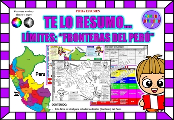
FICHA RESUMEN - Te lo Resumo... "Fronteras del Perú" (IMPRIMIBLES) |GEOGRAFÍA|
A sus estudiantes les encantará esta ficha resumen sobre "Los Tratados Limítrofes del Perú". Esta hoja incluye pequeños datos de los tratados limítrofes: Protocolo de Rio de Janeiro, Tratado Salomón-Lozano, Tratado Velarde-Rio Branco, Tratado Rectificación de Fronteras “Polo-Bustamante” y Tratado de Lima. Esta hoja resumen es perfecta para revisión, una actividad rápida, un proyecto de investigación, un organizador gráfico, centros, proyectos de toda la clase o proyectos de equipo. Los estudiant
Grades:
1st - 12th, Higher Education, Adult Education
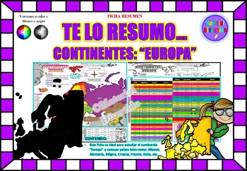
FICHA RESUMEN - Te lo Resumo... "Europa" (IMPRIMIBLES) |GEOGRAFÍA|
A sus estudiantes les encantará esta ficha resumen sobre "Los Continentes: Europa". Esta hoja incluye pequeños datos del hombre de: Albania, Alemania, Bélgica, Croacia, Francia, Italia, etc. Esta hoja resumen es perfecta para revisión, una actividad rápida, un proyecto de investigación, un organizador gráfico, centros, proyectos de toda la clase o proyectos de equipo. Los estudiantes pueden divertirse mientras aprenden todo sobre el continente de Europa. ¡Esta hoja resumen es perfecta para prese
Grades:
PreK - 12th, Higher Education, Adult Education
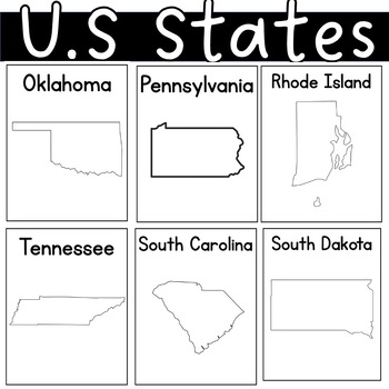
US state United States of America Outline Worksheets Posters Coloring Sheet
I had students illustrate the charateristics of each state. By the end of our unit, each student had their self-made posters. I also added some black pages with only the state's name.
Grades:
PreK - 12th, Higher Education, Adult Education
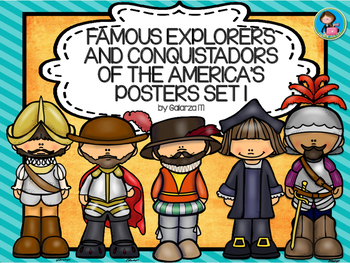
Famous Explorers and Conquistadors of the America’s Posters set 1
Looking forward to reinforce your teachings in Geography or History? Here is the Famous explorers and conquistadors of the America’s posters set 1. It will do more than just decorate.
Can be used reinforce a lesson, as a review or as an introduction aid.
This Product includes the following explorers and conquerors:
1. Leif Eriksson
2. Christopher Columbus
3. Francisco Coronado
4. Francisco Pizarro
5. Hernan Cortés
6. Henry Hudson
7. Jacques Cartier
8. Samuel de Champlain
9. John C
Subjects:
Grades:
PreK - 12th, Higher Education, Adult Education, Staff
Types:
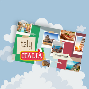
Italy - a Country Study Presentation
This Country Presentation can be used for a very basic country study in lower elementary grades! Each page contains a basic fact and related illustration! You may NOT modify or edit in any way.You may NOT resell or distribute in any way.You CAN share it if you indicate the credits.You MAY purchase an additional license for each colleague who wishes to share.
Subjects:
Grades:
PreK - 12th, Higher Education, Adult Education
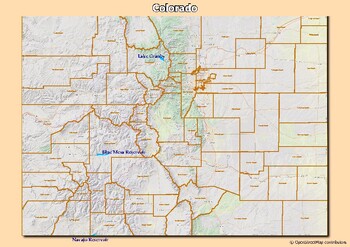
Map of rivers and map of lakes in the state of Colorado, USA
Map of rivers and map of lakes in the state of Colorado, USAThis material gives you two specific maps, one for rivers and one for lakes, which provide an engaging way of learning about geography.Rivers Map: This map shows the major rivers in Colorado. Using a blank map, students can fill in river names on the blank map, developing their geography and mapping skills.Lakes Map: Discover the largest lakes in the state of Colorado. Using this blank map, students will be able to identify and mark imp
Grades:
5th - 12th, Higher Education
Types:
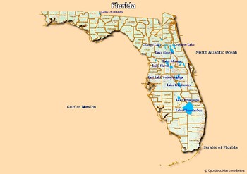
Map of rivers and map of lakes in the state of Florida, USA
Map of rivers and map of lakes in the state of Florida, USAThis material gives you two specific maps, one for rivers and one for lakes, which provide an engaging way of learning about geography.Rivers Map: This map shows the major rivers in Florida. Using a blank map, students can fill in river names on the blank map, developing their geography and mapping skills.Lakes Map: Discover the largest lakes in the state of Florida. Using this blank map, students will be able to identify and mark import
Grades:
4th - 12th, Higher Education, Adult Education
Types:
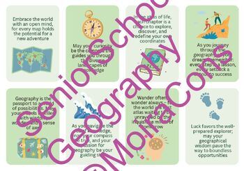
16 x Geography Themed Farewell Quotes
I love gifting my senior school Geography students something small at the end of the year to say thank you, well done and good luck. These Geography themed quote cards are super easy to stick to a chocolate or slide into a card for them. Could also be used as bookmarks or even displayed on your classroom wall! Pink watermark removed upon download.PDF contains 2 pages x 8 quote cards."Geography teachers, your passion maps the way to global understanding. Keep inspiring, and guiding minds to explo
Subjects:
Grades:
7th - 12th, Higher Education
Types:
Cardinal Direction Posters Freebie
Need posters for the 4 cardinal directions? This freebie is for you!
Use them as references in your classroom, or use them for a game. It's up to you!
Thanks,
Sarah Moellering
**Updated to include intermediate directions
Subjects:
Grades:
PreK - 12th, Higher Education, Adult Education
Showing 1-24 of 98 results


