2,921 results
Middle school geography project pdfs
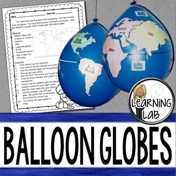
Geography - Balloon Globes - World Maps
World Geography can be boring for students but you can make it FUN! Your kiddos will LOVE creating their own globe using a balloon and cut-outs.This set includes: Student materials list and directions, detailed continent shapes, more broad continent shapes (easier cutting), compass graphic, continent labels, ocean labels, North Pole labels, reference map of the world. Balloon Suggestion (affiliate link): 12"latex balloons (100 count), Royal BlueDon't want to use a balloon? Some teachers hav
Subjects:
Grades:
3rd - 6th
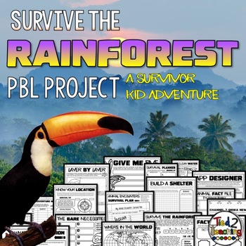
Rainforest Project Based Learning PBL Habitats ELA Math Writing Activity
Using this Rainforest Project Based Learning in your classroom is the perfect way to have your students incorporate reading, writing, science, math, critical thinking, and problem solving skills in a fun, real-life context. In this PBL unit, your kids will love being SURVIVOR KID as they try to survive 5 days and nights in the rainforest! As they work to survive the rainforest, they will need to plan and budget, design a shelter, design a water filtration device, plan for animal and insect enco
Subjects:
Grades:
3rd - 6th
Types:
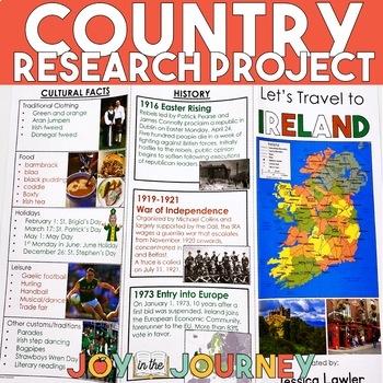
Country Research Project (Print & Digital)
Send your students on a world-wide tour with this print-and-go Country Research Travel Brochure Project! This fun and engaging project includes everything you need to assign the travel brochure, stay organized, guide the students in their research, and assess the final projectDownload includes:Brochure Sample Country Research Project Instructions“My Country Choices” – 4 per page (give one to each student)Student Country Choices Tracking SheetTravel Brochure Layout DirectionsResearch Log Student
Grades:
4th - 6th
Types:
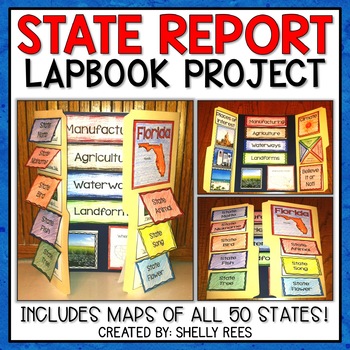
State Report | A State Research Project for ANY U.S. State! | 50 States
Your students will love researching and learning about ANY state with this lap book project! Everything you need to easily set up and implement a fun, hands on state research project in your classroom is included.
This packet includes separate map pages of ALL 50 states, so that you can either assign all students to research the same state (usually the one you reside in) or assign students to each create a lap book for a different state. The finished projects make a wonderful display!
If yo
Grades:
3rd - 6th
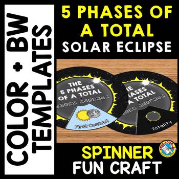
5 PHASES OF A TOTAL SOLAR ECLIPSE 2024 ACTIVITY CRAFT SPINNER SCIENCE PRINTABLE
TOTAL SOLAR ECLIPSE 2024 CRAFTS WHEEL PRINTABLE ACTIVITY (THE 5 PHASES OF A TOTAL SOLAR ECLIPSE SPINNER CRAFTIVITY)Are you looking for fun Total Eclipse activities? Kids will love making and spinning this eclipse crafts wheel/ spinner. This craft wheel is a fun way for kids to learn about the 5 phases of a total solar eclipse: First Contact, Second Contact, Totality, Third Contact and Fourth Contact. I have provided 2 versions of the wheel: color and black and white version. Each wheel con
Subjects:
Grades:
PreK - 6th
Types:
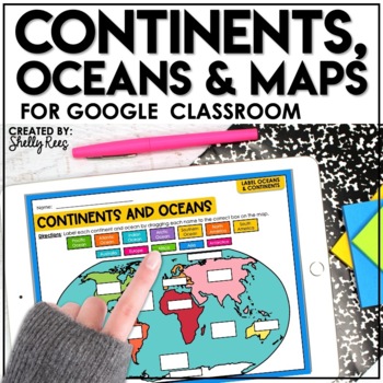
Continents and Oceans Activities for Google Classroom | Types of Maps
Are you looking for a different way to learn and reinforce Continents, Oceans, and Maps? Your students will love these easy-to-use Google Drive Activities! Students can practice and master identifying the continents and oceans of the world and also explore different types of maps by using the provided activities on Google slides. Click HERE to save 20% with the complete Maps, Continents, and Oceans Bundle!This engaging Google Drive resource includes:Continents, Oceans, and Maps Guide (a list of
Grades:
3rd - 6th
Types:
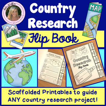
Country Research Project
Scaffolded printable flip book that can be used for ANY country research project!This resource is now available as a bundle with the matching Google Slides version! Click here to view and save $$$. Perfect for distance learning and hybrid teaching. This resource is also available in a bundle that includes 5 of my best-selling flip book resources! Click here to view and save $$$!Click here to view the digital Google Slides version. This ready-to-print flip book template can be used to scaffol
Grades:
3rd - 6th
Also included in: Country Research Project Bundle
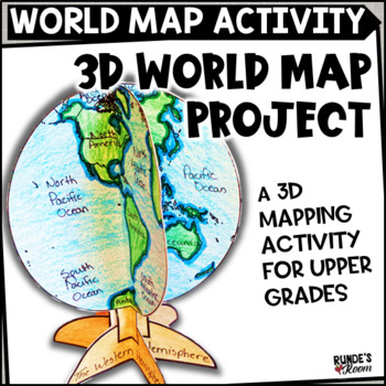
Mapping Activity World Map Project
Make Social Studies come alive with this fun 3D world map activity for world geography. This craftivity can be used to help students study and learn the continents and oceans of the world. There are two different views of the world map: the Western hemisphere and the Eastern hemisphere. This craftivity first has the students coloring the globe outline, then labeling the continents and oceans, equator, and tropic lines, then locating major cities, including the city in which students live
Subjects:
Grades:
4th - 6th
Types:
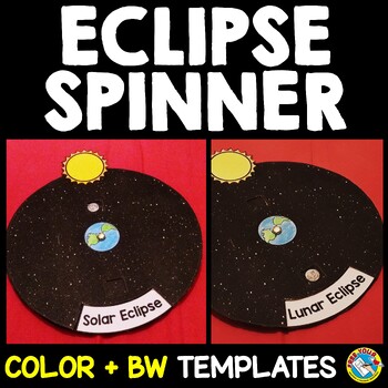
SOLAR AND LUNAR ECLIPSE CRAFTS WHEEL ACTIVITY SPINNER PRINTABLE SCIENCE
SOLAR AND LUNAR ECLIPSE CRAFT ACTIVITY SPINNER SCIENCE PRINTABLE (Perfect for the upcoming annular eclipse on October 14 and the following lunar eclipse)Are you looking for fun solar and lunar eclipse activities? Kids will love making and spinning this eclipse crafts wheel/ spinner. This eclipse wheel is a fun way for kids to visualize the position of the moon in relation to the sun and Earth during solar and lunar eclipses.I have provided 3 versions of the eclipse wheel: color, black and white
Subjects:
Grades:
PreK - 6th
Types:
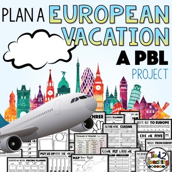
Plan a Vacation Project Based Learning PBL Design Projects Activities
Using Project Based Learning in your classroom is the perfect way to have your students incorporate reading, writing, math, critical thinking, and problem solving skills in a fun, real-life context. In this PBL unit, students will plan a vacation to Europe for them and their family! As they prepare for their adventure, they will create a realistic budget for their vacation. Give your students choice! As they work through this PBL, they will have the opportunity to make lots of decisions that
Subjects:
Grades:
3rd - 6th
Types:
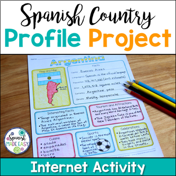
Spanish Country Profile Project
This is a country profile project over the 21 Spanish-speaking countries. Students will research important geographical and cultural facts about each country. This activity includes a blank country profile template, a template for each country, a list of Spanish-speaking countries, and a grading rubric in both English and Spanish. Research topics include: Countries flag, map, capital, language(s), population, area, currency, climate, interesting facts, tourism and attractions, cuisine, sports, a
Subjects:
Grades:
2nd - 12th
Types:
Also included in: Spanish Countries and Capitals Geography Bundle
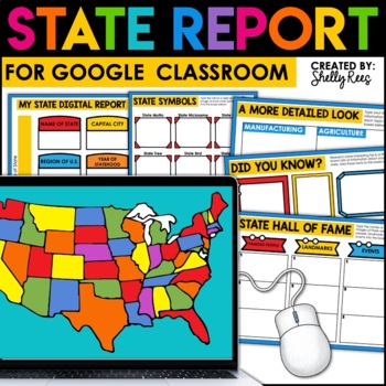
State Research Project | State Report for Google Classroom | 50 States Project
Your students will love completing a state research report with this easy-to-follow digital U.S. State Report Project! Students can research any state and use the provided slides to complete their report. A great option is to print the reports when students are finished to create an eye-catching display for your classroom!Click the PREVIEW button above for a closer look at everything included!This engaging Digital State Report Packet includes:State Research Resource Guide (a list of student-frie
Grades:
3rd - 6th
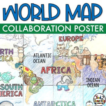
World Map Geography Collaboration Collaborative Coloring Poster and Art
This World Map Collaborative Poster is a fun collaborative way to get your kids working together and learning about the continents of the world during your geography unit!Show off your learning of the continents of the world with this beautiful World Map collaborative poster. Collaborative poster activities are so much fun because they combine group work, with creativity, color and so much fun! Perfect to display throughout the year, this collaborative project includes one 18-Panel World Map c
Subjects:
Grades:
2nd - 6th
Types:
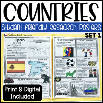
Country Research Project Posters Set ONE - Printable & Digital
Country Research Project Posters are a fun and simple way for your students to research countries around the world. These project posters are student friendly and help guide your students in what exactly to research. These posters are perfect for students to display their research! And they look fabulous on a bulletin board or hallway display!This is set one. Here is the BUNDLE including all my country research project posters. COUNTRY RESEARCH PROJECT POSTERS BUNDLE This is part of my HUGE GROW
Grades:
3rd - 6th
Types:
Also included in: Country Research Project Posters BUNDLE - Printable & Digital
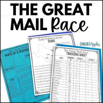
Friendly Letter Writing Paper & Template - Great Mail Race How to Write a Letter
The Great Mail Race is an excellent way for students to learn letter writing, geography, research skills, data collection, and graphing skills, and much more! Students send letters and questionnaires to schools in all 50 states. You can use the responses any way you want - mark the schools on a map, graph data from their surveys, etc. This packet has everything you need but the stamps and envelopes! Includes:Teacher instructions for the projectEditable introductory letter Class questionnaireStud
Subjects:
Grades:
2nd - 8th
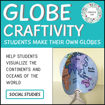
Mapping Craft Activity - 3D Globe World Map
If you would like to purchase the 100% EDITABLE version of this product, click here! Great for differentiation!Make Social Studies hands-on and engaging with this globe craftivity!A 3D model of the globe can help students visualize the distribution of land and water on Earth. Students also learn about the correct shape, size and location of the continents and oceans. For this activity, students are guided through the process of constructing a model of planet Earth. Have fun!This Project Package
Subjects:
Grades:
3rd - 7th
Types:
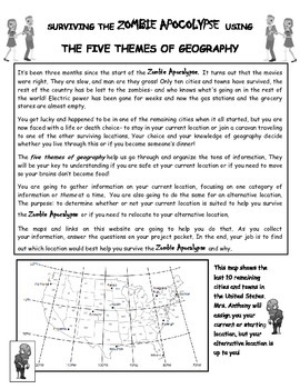
Surviving the Zombie Apocalypse using the Five Themes of Geography!
Students will use a website created for this project to analyze maps and gather information about different locations. The students will then interpret that information using the 5 Themes of Geography to decide if the locations benefit them during the Zombie Apocalypse. The students will finish off their research with a short essay explaining their choices and how the information they gathered from the maps helped them make their decision.This is a great way to get students to use their mapping
World Geography Curriculum Editable and Differentiated to Support All Students
This is a complete full year geography curriculum for middle and high school. Be prepared to teach World Geography with these projects, activities, and assessments that have been designed to support ALL students in World Geography classes! These resources are no-prep and great for students of multiple levels. This geography curriculum is editable, digital, and printable. This geography curriculum provides everything you need to make sure all students thrive in your classroom from scaffolded teac
Grades:
7th - 10th
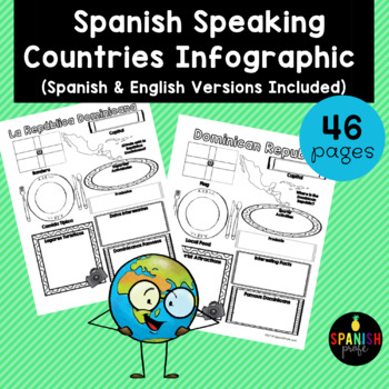
Spanish Speaking Countries Infographic (Los paises hispanohablantes)
Spanish Speaking Countries Infographic (Inforgrafica de los paises hispanohablantes) This products would be great for Spanish class, Latin American History or Spanish Heritage class, or a Spanish or Dual Immersion class. You could use an infographic about each country all throughout the school year or have students do a research project and have 1-2 students do each country and present to the class. This could also be an independent research center for grades 2-6 in the Spanish Immersion setting
Subjects:
Grades:
2nd - 12th
Types:
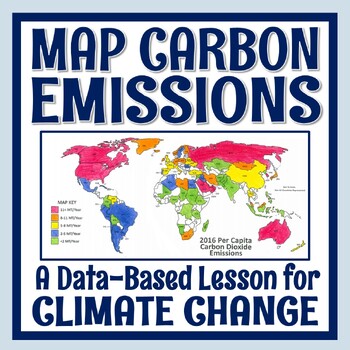
Climate Change Activity Mapping Carbon Emissions NGSS MS-ESS3-5 ESS3-4
Students use real data to color-code a map of 68 countries based on their per capita carbon emissions. In this activity, students will:READ a 1-page article about greenhouse gases, carbon dioxide, what per capita means, and the activity directions. CONSTRUCT a World Map by attaching 2 provided pages (it's easy!).COLOR CODE countries on the map according to their per capita carbon emissions. ANSWER 11 analysis questions focusing on the greenhouse effect, sources of carbon emissions, and how de
Subjects:
Grades:
7th - 10th
Types:
NGSS:
MS-ESS3-5
, MS-ESS3-4
, HS-ESS3-5
, HS-ESS3-4
Also included in: Global Warming Climate Change Activity Bundle NGSS MS-ESS3-5 ESS3-4
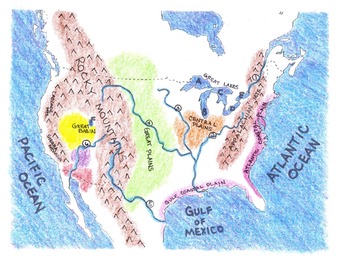
Geography: Make-Your-Own US Physical Map Project
This project includes the following:
*Lesson plan --two or three days to complete.
*I CAN statements identifying the major water and landforms in the United States. Check boxes are included as bullet points in front of statements.
*Student project title cards to put on top of each map (glue finished product on large piece of 12"x 18" construction paper).
*Project title strips for students --four per page to save paper.
*Map legend template.
*Outline map of the mainland United States for student
Subjects:
Grades:
3rd - 6th
Types:
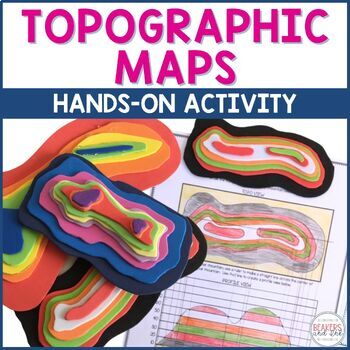
Topographic Map Project | Topographic Map Activity
Teaching topographic maps is a breeze with this hands-on activity! This topographic map activity will help your students to understand the connection between contour lines, the profile view and three dimensional views. In this topographic map activity, students will draw contour lines to create a topographic map. Then they will use inexpensive craft foam to create a three dimensional model and a profile view. Templates are provided to help differentiate for students of varying abilities. See t
Subjects:
Grades:
4th - 8th
Types:
NGSS:
4-ESS2-2
Also included in: Topographic Map Activity and Topographic Map Worksheets Bundle
European Explorers Research Template for Google Slides™
Use these research templates to enhance your students' understanding of the Age of Exploration (with a few Vikings thrown in for good measure). Includes resource pages for seventeen explorers and two blank templates to add explorers of your choice. Also includes a map for students to identify each explorer's route. All resources are available on Google Drive and saved in multiple formats to provide flexibility when assigning to students. Explorers include: Amerigo VespucciVasco Nunez de BalboaJo
Subjects:
Grades:
3rd - 6th
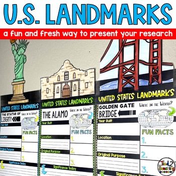
United States US Landmarks Research Report Template Project Report Writing
Introducing our captivating "United States Landmarks Research Report Pennant Banners"! Designed to elevate your classroom experience, this comprehensive set features 15 visually stunning pennants that will showcase your students' landmark research projects in a remarkable way. From coast to coast, these pennants showcase iconic landmarks from around the United States, providing an engaging and educational tool that seamlessly integrates with your social studies curriculum. With these pennants, y
Subjects:
Grades:
3rd - 6th
Showing 1-24 of 2,921 results


