7 results
8th grade geography project images
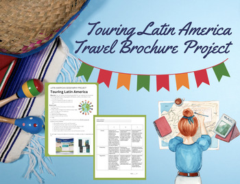
Touring Latin America Pamphlet Project
Project guidelines and specifications for students to create a travel brochure for a selected country in Latin America. I typically allow the students to select their own country of interest because they truly enjoy their research! This project can be assessed using my project rubric and is sold as a bundle as well!
Grades:
8th - 12th
Types:
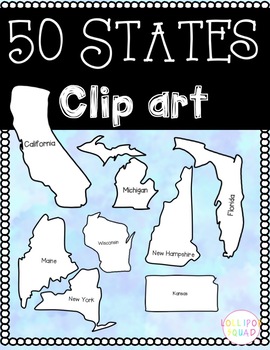
50 States Clip art
These PNG images of the 50 states are perfect for any social studies unit! All states come with black and white images. The states also include a blank state or a state with the name of it on it!Great for learning about individual states, learning about different states, or other activities!
Grades:
PreK - 12th, Higher Education, Adult Education, Staff
Types:
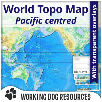
World Topographic Map Pacific-centered
Topographic maps of the world with the Pacific Ocean at the center of the map. Versions include:American English spellingBritish English spellingComplete composite mapsLayered transparent maps for overlaying map features The map displays:The extent of the world in a Mercator projection mapElevation scaleColour coordinated topographic map of landmass height and bathymetry (ocean depths) Layered maps include:Composite (USA English spelling) mapComposite (British English spelling) mapOutline map f
Subjects:
Grades:
6th - 9th

Create a Civilization Project Bundle
Description:This is a multidisciplinary project designed to help students creatively think about the factors involved in the formation of civilizations. It is specifically designed to help students see the link between Geography and culture in a hands-on way. This project incorporates each of the skills below. This product includes the Google Slides Presentation I used with my Grade 6 Geography students at an international school in Southeast Asia.This bundle includes: - The Google Slides Prese
Subjects:
Grades:
5th - 8th

MYP Individuals and Societies unit Imperialism formative/summative task sheets
This bundle includes all of the formative/summative task sheets you will need to assess all of the criteria. It includes a response prompt, presentation, and an essay. All of the links, resources, criteria and task specifics are included in this bundle package.
Grades:
7th - 10th
Types:
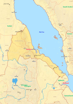
Eritrea map with cities township counties rivers roads labeled
Eritrea map with cities township counties rivers roads labeledEritrea map is a type of map that includes geographical features such as towns, communes, counties, rivers and roads. These features are labelled with their respective names, allowing the user to easily identify them.This type of map is useful for anyone wishing to explore the country or better understand its geography.This download contains files that may be printed and copied or used digitally._______________________________________
Grades:
4th - 9th, Higher Education
Types:
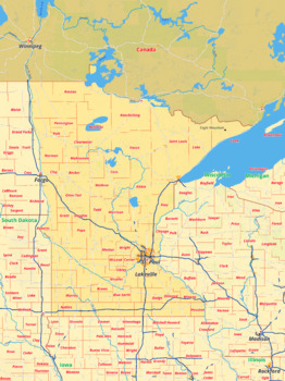
Minnesota map with cities township counties rivers roads labeled
Minnesota map with cities township counties rivers roads labeledThis download contains files that may be printed and copied or used digitally.___________________________________________________________________World City MapsBooksPinterestInstagramFacebookTikToK
Grades:
5th - 12th, Higher Education
Types:
Showing 1-7 of 7 results


