345 results
High school geography center pdfs
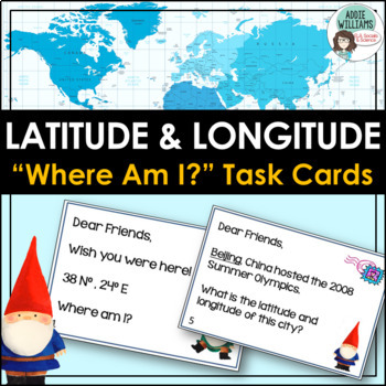
Latitude and Longitude Task Cards - World, US, and Canadian Capital Cities
LATITUDE & LONGITUDE - Three sets of task cards to help students practice finding locations with a set of latitude and longitude coordinates. Using gnomes as a theme (thinking of gnomes who have traveled the world and sent home notes) each task card is written like a postcard. Set 1 - students are given a set of coordinates and must locate the world capital city. (12 cards)Set 2 - students are given a world capital city and must figure out the latitude and longitude of the city. (12 card
Subjects:
Grades:
6th - 9th
Types:
Also included in: Latitude and Longitude Bundle - Activities, Task Cards, & Posters
GEOGRAPHY BASICS Study Unit with Essential Lessons
For direct instruction or learning centers, this 29 page unit (see Preview), which includes DETAILED directions for teacher guided lessons and high-quality, attractive handouts for students, is ideal for anyone teaching or reviewing -- WORLD GEOGRAPHY basics and terminology;- continents and oceans, - equator, hemispheres, and cardinal directions,- and now capital city definition and worksheet of capitals of most populous countries.It has classroom tested handouts that include maps, a word search
Grades:
4th - 10th
Types:
CCSS:
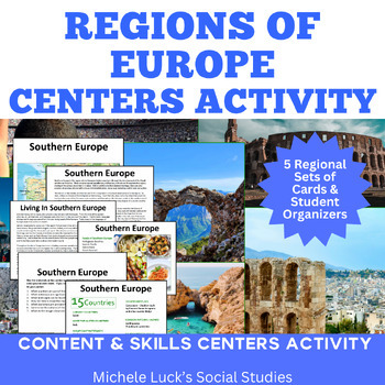
Regions of Europe Centers Activity for European Geography or Culture Study
Introduce your students to the regions of Europe with this easy to prep Centers or Stations Activity. At each regional center, students will read geographic information on the region, view maps and discover physical features and statistics, view data from the region on cultural and human characteristics, and read current articles on the regions of Europe (using internet links provided in teacher directions). Included:Reading Cards on each RegionImage Cards on each RegionMap Cards on each Regi
Subjects:
Grades:
6th - 10th, Higher Education
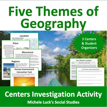
Five Themes of Geography Centers Investigation Activity
Investigate the Five Themes of Geography with this interactive centers activity. Each center invites students to further investigate one of the themes (Location, Place, Movement, Regions, Human-Environment Interaction) through mapping, reading, and skills practice. All materials (except atlases) are provided (print on card stock and laminate for repeated use!). Resources include recent articles on various world events, maps, charts and other content-filled sources and require students to use
Grades:
6th - 10th, Higher Education
Types:
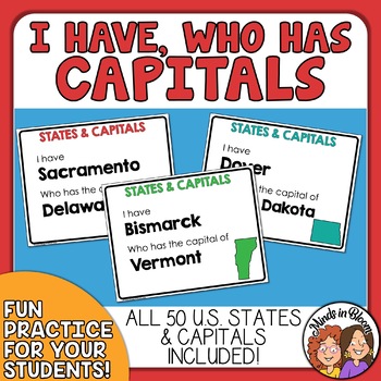
State Capitals I Have, Who Has Game - Engaging Classroom Game for U.S. Capitals
Use this I Have, Who Has game to practice matching U.S. states with their capitals!To play, distribute the cards more or less evenly to your students. The order does not matter as long as the cards have been mixed up. Then have a student read the bottom half of his or her card. The student that has the answer to the question (the name of the capital) then reads his or her entire card. Continue playing until all the cards have been read. If played correctly, the last answer will be the first half
Subjects:
Grades:
3rd - 9th
Types:
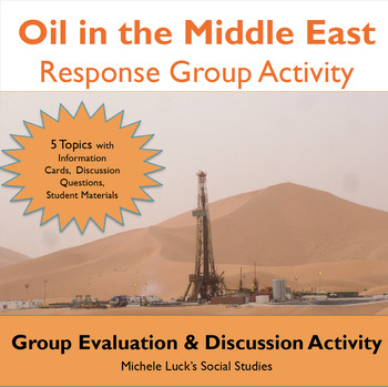
Oil in the Middle East Response Group Activity - Geography
In this response group activity, students learn about the benefits and costs of the Oil in the Middle East. A number of implementation ideas are provided along with the 23 page set to allow students to investigate 5 topics.Content Topics CoveredGeography of the Middle EastThe Processing of OilThe Human ImpactThe Export BusinessWorld ConnectionsAbout this ResourceAll materials are provided and include reading cards for each center, primary sources such as images, charts, and graphs to analyze, a
Grades:
6th - 12th
Types:
Also included in: Modern World History Interactive Lessons Bundle Walking Tours & More
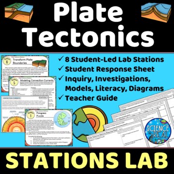
Plate Tectonics Lab Stations - Student-Led Stations Lab
⭐ ⭐ ⭐ ⭐ Student-led lab stations are a great way to get your kids moving and interacting with content in a variety of fun ways! Students will learn, interact, investigate, analyze, and engage with plate tectonics and continental drift! These eight stations focus on plate tectonics, convection currents, sea-floor spreading, continental drift, plate boundaries, types of crust, and tectonic plates. All stations are neatly presented, have easy to understand directions, and require minimal prep from
Subjects:
Grades:
8th - 12th
Types:
NGSS:
MS-ESS2-3
, HS-ESS2-3
, HS-ESS2-1
, MS-ESS2-2
, HS-ESS1-5
Also included in: Earth Science Stations Labs Growing Discount Bundle
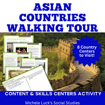
Asia Walking Tour on History, Culture, Physical Geography, Economy More!
Introduce your students to Asia and examine the countries of the continent with an easy to prep and content-filled Walking Tour that will be engaging and fun for your whole class!Investigate one Asian country or region at a time or complete as a multi-day activity where student examine and compare all 8 countries included.Use as a lesson for the Geography of Asia or to introduce the region for a History lesson or Book setting.In this 78+ page Walking Tour or Gallery Walk Activity and Interactive
Subjects:
Grades:
6th - 10th
Types:
Also included in: Modern World History Interactive Lessons Bundle Walking Tours & More
Layers of the Atmosphere Build an 8-foot Scaled-Down Model of our Atmosphere
Create an 8-foot-tall (2.4m), scaled-down model of our atmosphere and discover cool information about our atmosphere at the same time! Students will also learn a little history about humankind's ventures into our atmosphere.Includes Troposphere, Tropopause, Stratosphere, Stratopause, Mesosphere, Mesopause, Thermosphere, and Exosphere. No prep.The only way to get a true sense of atmospheric scale is with a model this big!Crosscutting concepts: scale, proportion, & quantity, systems & sy
Subjects:
Grades:
6th - 12th, Adult Education
Types:
CCSS:
Also included in: Ecology, Environmental Studies, and Earth Science Activities Bundle
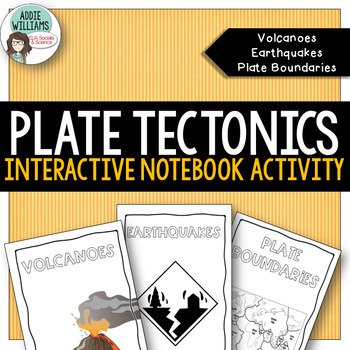
Plate Tectonics Interactive Notebook- Volcanoes, Earthquakes, Plate Boundaries
Plate Tectonics Interactive Notebook Fold Out Books - looking for some easy to use interactive notebook templates for volcanoes, earthquakes and plate boundaries? These three fold-out books require no scissors or cutting and can be used in an interactive notebook or as a stand-alone activity.Each fold-out book covers the major content ideas for each topic - includes diagrams, vocabulary, and student questions. Volcanoes - includes strata/composite, shield, and cinder cone as well as basic voca
Subjects:
Grades:
6th - 9th
Types:
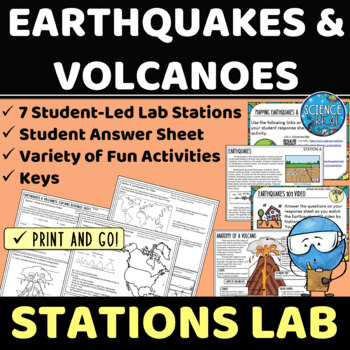
Earthquakes and Volcanoes Lab Stations
⭐ ⭐ ⭐ ⭐ Student-led lab stations are a great way to get your kids moving and interacting with content in a variety of fun and engaging ways! Students will learn, interact, and engage with new content of earthquakes and volcanoes! These seven stations focus on volcanic and earthquake activity, parts of a volcano and earthquake, seismic waves, types of volcanoes, mapping volcanoes and earthquakes, and more! All stations are neatly presented, have easy to understand directions, and require minimal
Subjects:
Grades:
8th - 12th
Types:
NGSS:
MS-ESS3-2
, HS-ESS2-1
Also included in: Earth Science Stations Labs Growing Discount Bundle
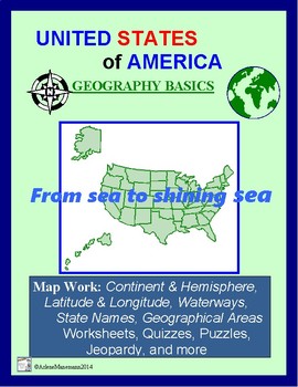
United States Geography Basics: Lessons, Worksheets, Puzzles
Designed for direct instruction or for learning centers, here is a document for U S Geography. Detailed teacher instructions start this 25 page file and include handouts and worksheets as students learn and review:- oceans, continents, adjoining country names,- facts about their own state and their choice of another state, - latitude & longitudeand more.Lots of enrichment worksheets and puzzles are here too.US States Jeopardy included.See Preview for a detailed table of contents.
Grades:
4th - 11th
Types:
CCSS:
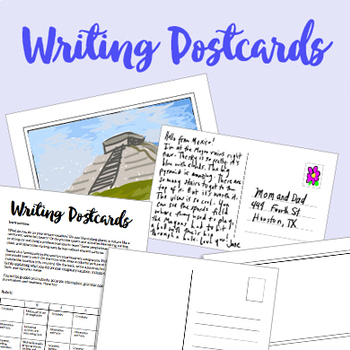
Kid's Geography: Writing Postcard Activity + Rubric
Creative geography activity for kids: designing and writing postcards! Students do research about a famous site in a certain country, and create a postcard about it. On the front side, they will draw a colorful picture of the site and include the location (city, country). On the back, they write a postcard to friends or family explaining what they did on their imaginary vacation, including 4 interesting facts.
SUPER easy to adapt to different grade levels!
Wonderful for Spanish, French, ESL
Subjects:
Grades:
2nd - 12th
Types:
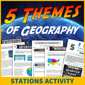
5 Themes of Geography Stations Activity Social Studies Themes Lesson
Students learn the five themes of geography in this interactive stations activity! Traveling to five exhibit stations, students analyze the themes of location, place, human-environment interaction, movement, and region. Students will have a blast learning about the five themes, and this resource has everything you need for an engaging and educational no-prep lesson! A graphic organizer, student and teacher instructions, response worksheets with questions for each station, and answer keys are inc
Grades:
5th - 9th
Types:
Also included in: 5 Themes of Geography Unit Activity and Poster Value Bundle

NEW! GEOGRAPHY: WORLD RELIGIONS PHOTO GALLERY WALK | WORLD RELIGION
A photo gallery walk is a fun and engaging way to get your student actively involved in the learning process. Students will work together in teams or cooperative groups and will travel through 12 picture galleries learning about the different world religions: Christianity, Islam, Judaism, Hinduism, Buddhism, Taoism, Confucianism among other religions. This is a great activity for an introductory lesson or for a reinforcement activity!Covers the traditions and practices of the world’s most influe
Subjects:
Grades:
7th - 12th, Higher Education
Atlas Scavenger Hunt / Map Skills for Grades 5-11
Do your students need to practice map skills? This atlas scavenger hunt will assist your students improve their map skills and will free some time for you as this is an independent activity and each student can learn at their own pace. You may have students working in pairs or individually to complete the task. Students will use 8 sections of the atlas to find answers. There is variety of questions type, such as finding a location of a landform, explaining vocabulary, analyzing a graph or a map,
Grades:
5th - 11th
Types:
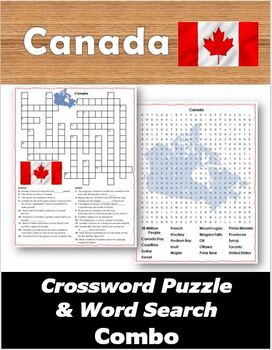
Canada Crossword Puzzle & Word Search Combo
Ready to print and go!Fun and engaging ways to learn about Canada! Includes a crossword puzzle with an optional word bank, a word search and answer keys for both. Great for morning work, fast finishers, and sub days!Covers the following 20 words and phrases:38 Million PeopleCanada DayCoastlineDollarForestFrenchHockeyHudson BayInuitMapleMount LoganNiagara FallsOilOttawaPolar BearPrime MinisterProvincesSyrupTorontoUnited States (border)Get this puzzle combo plus a bonus PowerPoint for just $1.75 b
Subjects:
Grades:
4th - 12th
Types:
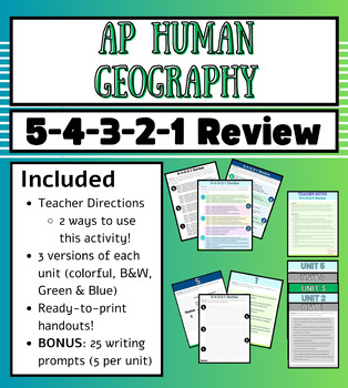
AP Human Geography Unit 1-6 Review (Stations)
It's AP Exam season, and if you're on the lookout for a variety of review activities - this is the bundle for you!In this activity students will work in groups, compile information from the entire unit to answer questions, move around, and strategize; and will have multiple choices the entire time!This activity can be used as one station in a stations review activity with other activities OR can be the entire review activity. Directions for both are included.This activity is ready to print NOW a
Grades:
9th - 12th
Types:
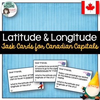
Latitude and Longitude Task Cards - Canadian Capitals
LATITUDE and LONGITUDE - Use this set of task cards to help students practice finding locations with a set of latitude and longitude coordinates. Using gnomes as a theme (thinking of gnomes who have traveled the world and sent home notes) each task card is written like a postcard. Students are given a province and must determine both the capital and the city's latitude and longitude. - includes all provinces, territories, and OttawaIncludes student data sheet, answer key, and a Canada map f
Subjects:
Grades:
6th - 9th
Types:
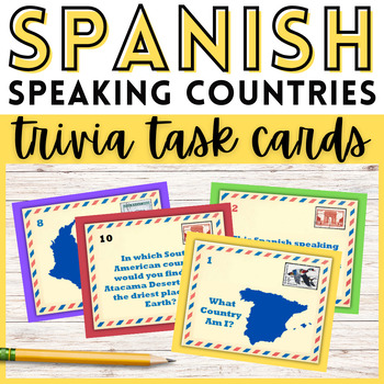
Spanish Speaking Countries Trivia Task Cards Activity Hispanic Heritage Month
72 Spanish speaking countries task cards! Teach the Spanish speaking countries and capitals with these trivia task cards that feature geography, culture, and history facts! Perfect for Hispanic Heritage Month, or throughout the school year, these task cards are engaging and fun. Your students will have a blast learning about Spanish speaking countries and traveling the world from their desks! This resource includes 72 task cards with a fun travel postcard theme. Task cards can also be used to pl
Grades:
4th - 9th
Types:
CCSS:
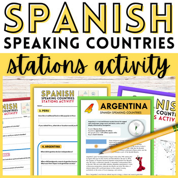
Spanish Speaking Countries Stations Activity | Hispanic Heritage Month
Explore the culture and history of Spanish speaking countries with this stations activity! Perfect for Hispanic Heritage Month, or throughout the school year, this activity will make learning about the Spanish speaking world engaging and fun. Your students will have a blast learning about Spanish speaking countries and traveling the world from their desks! In this stations activity your students will explore eight unique Spanish speaking countries! This activity is designed to take your students
Grades:
5th - 10th
Types:
CCSS:
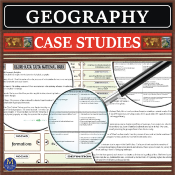
Geography: Case Studies
Embark on a geographical journey with our captivating Geography Case Studies. Explore a collection of 8 case studies, each thoughtfully designed to shed light on pivotal concepts within the dynamic field of geography.Tailored for students eager to navigate the intricacies of our planet's diverse landscapes and cultures, these studies offer rich insights into key principles and strategies essential for understanding the complexities of our world in today's global landscape.Please Note: The case s
Grades:
7th - 11th
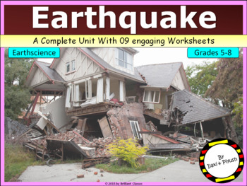
Earthquake - Its causes, impacts & effects (with engaging worksheets)
Earthquake - Its causes, impacts & effects (with engaging worksheets):This unit in the form of pdf file and covers basic concepts of causes of earthquake, its impacts and effects, plate tectonics, line of faults, various terminologies like epicenter, seismic waves etc.This will be a great source for the teachers and students of grades 5th to 8th.It also includes numerous worksheets to hands on practice and review of knowledge for the students. Please view the preview to get an idea of what t
Subjects:
Grades:
5th - 9th
Types:
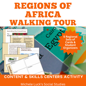
Regions of Africa Walking Tour Gallery Walk or Centers Activity for Geography
Teach the Regions of Africa with ease as your students take a walking tour or gallery walk from North to East to West to Central to Southern Africa and collect data in their walking tour organizer.In this walking tour or centers activity, students learn about the physical and human geography of the regions of Africa. A number of implementation ideas are provided along with the location information cards and student materials to allow students to investigate 5 regions.Content Topics Covered:Poli
Grades:
6th - 11th
Showing 1-24 of 345 results


