2,952 results
Adult education geography printables for staff
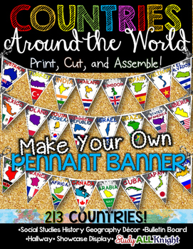
Countries Around the World Classroom Decor Make Your Own Pennant Banner
Worldwide Countries Classroom Decor Make Your Own Pennant BannerGrades K-12 social studies, history, geography, Model UN, global studies, world history Celebrate our world! Teachers can decorate their classrooms, hallway, gymnasium, media center, or anywhere in their building. You'll get 213 pennants to choose from. Pick pennants that represent your student's heritage, ethnicities, backgrounds, ancestry. They are colorful and awesome to look at. The countries pennant will bring enthusiasm and un
Grades:
PreK - 12th, Higher Education, Adult Education, Staff
Also included in: English Teacher Activities and Fun Bundle
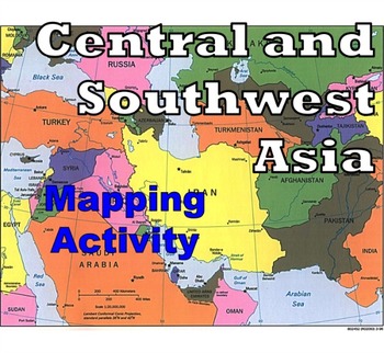
Central and Southwest Asia (Middle East) - Mapping Activity
Map Activity – Central and Southwest AsiaIn this activity, students must locate and identify the countries (and capital cities if so desired) of Central and Southwest (or Middle Eastern) Asia. When students are finished with this, time can be spent coloring in the various countries.Included in this package is a ready-to-copy blackline master map of Central and Southwest Asia along with a separate answer key.This product can also easily be used as a test or quiz.Preview file is available for down
Subjects:
Grades:
4th - 12th, Higher Education, Adult Education
Types:
Also included in: Map Activity Bundle
Compass Rose Map and Globe Skills Activity Worksheets
Kindergarten and 1st First Grade Social Studies Worksheets- Map and Globe skillsI have recently updated this product to include more worksheets as well as a colored version of the easel activity. Each activity can be printed in black and white or can be seen in color on Easel. This product currently includes 11 activities:1. Color and label the land and water on a picture of a map and globe.2. Map and Globe Sort- Cut and Paste Flap book Activity (Contains 3 sheets) Sort pictures of maps and glob
Subjects:
Grades:
K - 1st, Staff
Types:
Also included in: 1st Grade GA Social Studies MEGA BUNDLE
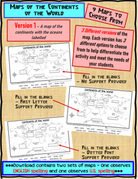
Maps of the Continents of the World For Students to Label and Colour/Color
This download contains 9 maps of the continents of the world (11 x 17 paper) to allow you differentiate your instruction to help meet needs of all students in your classroom as they learn to identify and locate the continents of the world. ***Please note that there are 2 sets of each of the 9 maps – one set observes English Spelling and one set observes U.S. spelling.***This download contains: 1. A map of the continents with the oceans labelled and the continents left blank for students to fill
Subjects:
Grades:
2nd - 7th, Adult Education
Types:
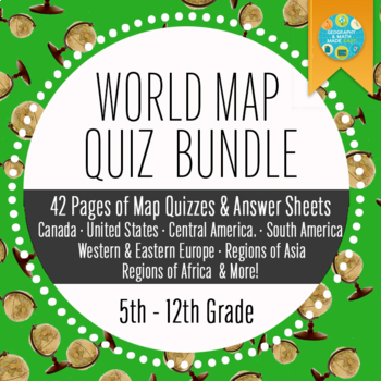
Geography and World History, World Map Quizzes, Quiz Bundle
These 8 pre-numbered maps and 16 quizzes will save you hours upon hours of creation and make preparation for assessing students on geographic locations effortless. Each has been designed with a numbered map, reproducible answer sheet and teacher’s answer key. When the class reaches the larger continents such as Europe, Asia, and Africa, it is suggested that the instructor assess the student in sections or regions before assessing them over the entire continent. This will allow students to learn
Grades:
5th - 12th, Higher Education, Adult Education
Types:
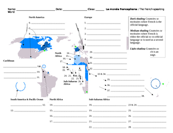
Monde Francophone World Map French-Speaking Countries
Overview: Printable map to label French-speaking countries. Includes answer key. Thirty-seven countries and/or territories listed. Objective: Identify French-speaking countries and territories by labeling a world map.Estimated Time: 10 to 30 minutes (depending on how the teacher would like to enrich it)Suggested/Possible Sequence:1. Students brainstorm or make a list of countries they already know. Teacher verifies student lists.2. Students then use textbooks or maps to identify the countries sh
Subjects:
Grades:
5th - 12th, Higher Education, Adult Education
Types:
Interactive Notebook Bundle - GEOGRAPHY and MAP SKILLS (Social Studies)
I love interactive notebooks! Using them means I always have something meaningful for my students to complete or do. Lesson planning becomes much easier! Students have no choice but to become involved in the learning. What did we do without them all these years?
This ultimate interactive notebook covers social studies GEOGRAPHY and MAP SKILLS. It is listed at an absolute awesome price! This item includes land and water forms, specific land and water forms, man-made features, latitude and long
Grades:
3rd - 5th, Staff
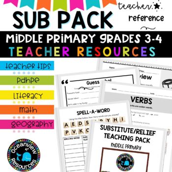
Grade 3-4 Sub Plans for Emergency Teaching days and Relief Teachers
⭐Being a relief teacher and a substitute teacher can come with its own set of challenges. This Relief Teacher Survival Kit is your one-stop resource for handling a job assignment with confidence and ease! Your students will LOVE all of the easy-to-use activitiesIf you are just starting out in your teaching career, or if you need a spark of new ideas, this resource is jam-packed with activities you can use with your students. It includes hundreds of fun, authentic, and engaging activities that I
Subjects:
Grades:
3rd - 4th, Staff
Types:
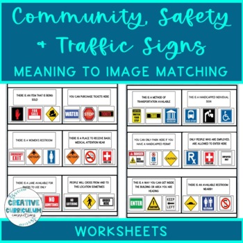
Community, Safety & Traffic Signs Sign Definition to Image Matching Worksheets
For this community instruction based lesson, students are presented with varying community, traffic, or safety signs visually/in word form. Students will work on their functional vocabulary skills by identifying the sign's name and image. Students are asked to review the provided sign meaning or definition and match it to its image, out of an array of three. Students will work on identifying sign based vocabulary words, reading signs, defining signs/understandings purpose and more!There are 15 w
Subjects:
Grades:
1st - 12th, Higher Education, Adult Education
Types:
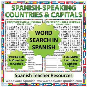
Spanish-speaking Countries and Capitals Word Search
Spanish-speaking Countries and Capitals Word Search
Word Search Worksheets in Spanish about the 21 Spanish-speaking countries and their capital cities.
One worksheet contains the following countries (in Spanish): Argentina, Bolivia, Chile, Colombia, Costa Rica, Cuba, Ecuador, El Salvador, España, Guatemala, Guinea Ecuatorial, Honduras, México, Nicaragua, Panamá, Paraguay, Perú, Puerto Rico, República Dominicana, Uruguay, Venezuela.
Another worksheet contains the following capital cities of th
Subjects:
Grades:
5th - 12th, Adult Education
Types:
Also included in: Spanish Bundle – Spanish-speaking Countries and Capitals
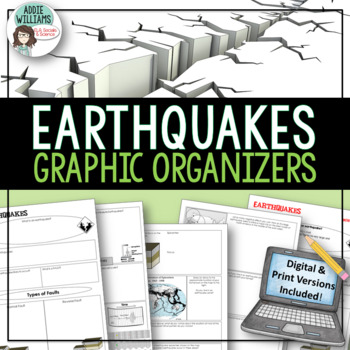
Earthquakes / Faulting Graphic Organizer | Print & Digital
Earthquakes / Faulting Graphic Organizer - A great way for students to organize information on earthquakes and faulting. Instead of asking students to take traditional notes, they fill in the graphic organizer - either as review or instead of standard question and answer in a textbook. Excellent for review or group work. Includes 4 pages of organizers and all answer keys!Also includes a link to a Google™ Slides version of the organizers so students can add text, images, color and more while wo
Subjects:
Grades:
8th - 10th, Higher Education, Adult Education
Also included in: Plate Tectonics / Earthquakes / Volcanoes Organizers | PRINT & DIGITAL
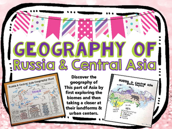
Russia & Central Asia Biome and Geography Hunt
Introduce your unit over RUSSIA with this mapping activity. Students use globes, atlases, and/or the internet to discover more about the geography of this region!
Countries included:
Russia
Kazakhstan
Uzbekistan
Kyrgyzstan
Tajikistan
Turkmenistan
Students create maps over:
-Biomes
-Geography (landforms, countries, bodies of water, urban centers)
**BUNDLE AND SAVE**
check out my bundled GEOGRAPHY MAPS in my TpT store!
SAVE MONEY, and buy ALL THE GEO. HUNTS here:
https://www.teacherspaytea
Subjects:
Grades:
3rd - 12th, Adult Education
Types:
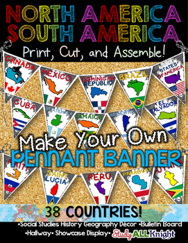
North America South America Classroom Decor Make Your Own Pennant Banner
North America South America Classroom Decor Make Your Own Pennant Banner
Grades K-12 social studies, history, geography, Model UN, global studies, world history
Celebrate our world! Teachers can decorate their classrooms, hallway, gymnasium, media center, or anywhere in their building. You'll get 38 pennants to choose from. Pick pennants that represent your student's heritage, ethnicities, backgrounds, ancestry.
They are colorful and awesome to look at. The countries pennant will bring enthu
Grades:
PreK - 12th, Higher Education, Adult Education, Staff
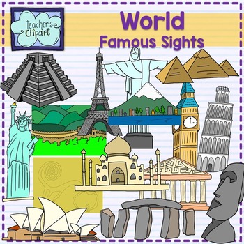
World Famous sights - landmarks clipart Social studies clip art
Introducing our remarkable "Famous Landmarks Around the World" clip art set! This collection showcases an array of iconic landmarks, offering both line art and colored images that are perfect for a variety of creative projects. From historical sites to architectural marvels, these graphics are sure to add a touch of global charm to your designs.Included in this set are the following landmarks:Big BenTaj MahalGreat Wall of ChinaChrist the Redeemer (statue)Eiffel TowerMount FujiNazca LinesPartheno
Grades:
PreK - 12th, Staff
Also included in: World Social Studies clip art {Bundle} over 500 graphics
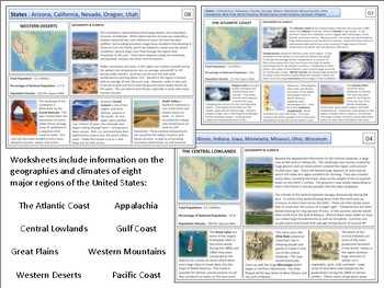
United States - Geography Unit
This product is designed to teach students about the major regions of the United States. I've often found it worthwhile to start any U.S. history course with a quick overview of the geography of the country. These materials are designed to accomplish this within a 1-2 week period depending on how much detail you wish to go into. Included in the file are reading sheets about eight major regions as well as a variety of maps and project materials. Please view the preview sheet for more details
Grades:
8th - 12th, Adult Education
Types:
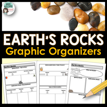
Rock Types Graphic Organizer - Igneous, Sedimentary and Metamorphic
Teaching the different types of rocks? These graphic organizers are a great way for students to learn the differences between igneous, sedimentary, and metamorphic rocks as well as their sub-categories. This resource includes 4 pages of graphic organizers that can be used with notes or while working through a PowerPoint, as review, or for group work. This resource also includes a set of review questions and answer keys.Covers Igneous (intrusive/extrusive), Sedimentary (mechanical/clastic, organ
Subjects:
Grades:
7th - 10th, Adult Education
Also included in: Rocks and Minerals - Types of Rocks, Rock Cycle, Minerals and More!
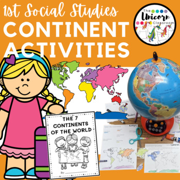
1st Grade Continent Activities | First Grade Printable Continents Worksheets
1st First Grade Social Studies Worksheets and Booklet- Map and Globe skills, 7 continents of the WorldThis product currently includes 8 worksheets and 1 booklet (each with 2 different versions for differentiation and 1 with more support and 1 with less support):1. Label the continents- one version with pictures, one with just words.2. Color the continents- one version with pictures of the continents, one with just directions.3. Cut and paste the continents- one version with background lines, one
Subjects:
Grades:
1st - 2nd, Staff
Types:
Also included in: 1st Grade GA Social Studies MEGA BUNDLE
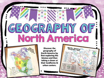
North America Biome and Geography Hunt
Introduce your unit over North America with this mapping activity. Students use globes, atlases, and/or the internet to discover more about the geography of this region!
Countries Included:
U.S.A.
Canada
Mexico
Bahamas
Dominican Rep.
Cuba
Haiti
Belize
Honduras
Nicaragua
Guatemala
El Salvador
Costa Rica
Panama
Greenland
Students create maps over:
-Biomes
-Geography (landforms, countries, bodies of water, urban centers)
**BUNDLE AND SAVE**
check out my bundled GEOGRAPHY MAPS in my TpT store!
Subjects:
Grades:
3rd - 12th, Adult Education
Types:
Interactive Notebook - Map and Globe Skills (Social Studies)
I love interactive notebooks! Using them means I always have something meaningful for my students to complete or do. Lesson planning becomes much easier! Students have no choice but to become involved in the learning. What did we do without them all these years?
This interactive notebook covers social studies MAP and GLOBE SKILLS. This item includes latitude and longitude, (including the equator and prime meridian), hemispheres, compass rose (cardinal and intermediate directions), map keys, sc
Grades:
3rd - 5th, Staff
Kids Printable Passport Template
Didn’t you always desire to travel the world? Travel to distant locations to learn about diverse cultures and taste new foods?Keep track of the nations you learn about with this printable passport for kids. As you stamp their passport, make them feel as if they’re traveling to another country.You can use this printable as a part of your 'Airport Dramatic Play' or any of your social studies projects. While physically visiting those nations may be challenging, specifically a time like today with t
Grades:
PreK - 5th, Staff
Types:
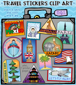
Travel Stickers - 12 Locations Around the World Clip Art by DJ Inkers
Use these fun Travel Stickers to connect and share smiles around the world! Perfect for anyone with a travel bug, this set includes 12 different location designs! These fabulous digital stickers can help you create projects for a fun travel theme, trip planning, luggage tags, country reports, scrapbooks, travel journals and more. Stickers include: Asia, Australia, Mexico, Paris, UK, USA, beach, snow, airplane, bon voyage, safari and national park. Each included individually (24 total) and on
Subjects:
Grades:
K - 4th, Staff
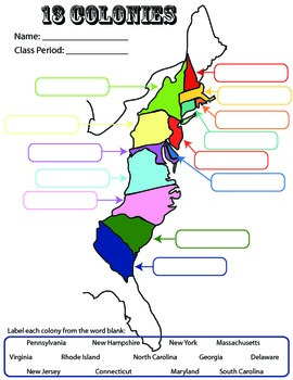
13 Colonies: Student Worksheet/Printable: Map
This can be a single assignment, or you can do what I do. I break this into a three-day assignment that I pair with the three PowerPoints: "13 colonies: southern," "13 colonies-middle," and "13 colonies-New England." All three PowerPoint lessons are for sale. At the end of each PowerPoint/lecture, I have students complete the corresponding part of this worksheet.
13 colonies
colonization
US History
Socials Studies
Exploration
Map
Activity
Homework
printables
worksheet
Label
Southern, Middle,
Grades:
4th - 12th, Adult Education
Types:
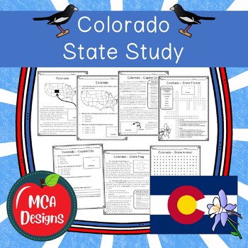
Colorado State Study
Are your looking for an affordable social studies curriculum? Check out my new social studies collection! This unit focuses on the state of Colorado and includes a variety of activities and reading passages to deepen your students understanding of this great state.The following topics are covered in this unit:HistoryGeographyState CapitalState FlagState FlowerState AnimalState BirdThis unit includes the following:Reading PassagesWorksheets (2 styles - one with primary handwriting lines and one w
Grades:
2nd - 5th, Staff
Types:
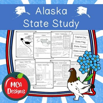
Alaska State Study
Are your looking for an affordable social studies curriculum? Check out my new social studies collection! This unit focuses on the state of Alaska and includes a variety of activities and reading passages to deepen your students understanding of this great state.The following topics are covered in this unit:HistoryGeographyState CapitalState FlagState FlowerState AnimalState BirdThis unit includes the following:Reading PassagesWorksheets (2 styles - one with primary handwriting lines and one wit
Grades:
2nd - 5th, Staff
Types:
Showing 1-24 of 2,952 results


