137 results
Geography classroom decors for Easel and for special education
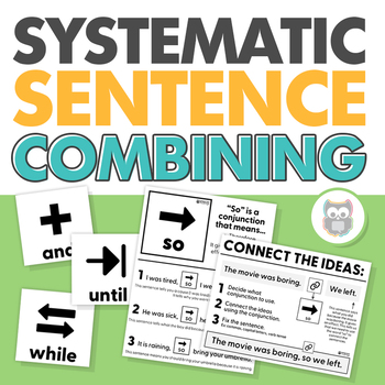
Systematic Sentence Combining | Syntax, Conjunctions, Grammar | Speech Therapy
Work on creating compound and complex sentences with this easy-to-use, systematic resource targeting sentence combining!Sentence combining is a research-supported skill for improving writing skills and reading comprehension in speech and language therapy. I loved using sentence combining in my therapy sessions but wanted a way to progress through the different ways to combine sentences more systematically (and with more visuals!). So, I created this resource! In this packet, I have included 5 le
Grades:
4th - 6th
Types:
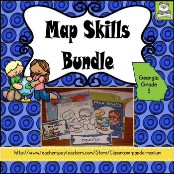
Map Skills Georgia Grade 3 (Task Cards Included) Meets New GSE's
This bundle is ideal for Georgia third grade teachers teaching US Rivers (St. Lawrence, Hudson, Ohio, Mississippi, Rio Grande, and Colorado), US Mountain Ranges (Rocky Mountains and Appalachian Mountains), Equator, Prime Meridian, and Lines of Latitude and Longitude. The set addresses all the Map Skills standards for third grade social studies GSE's SS3G1-SS3G2.Click Here to Save 30%!Topics include:Major Rivers-Mississippi, Ohio, Rio Grande, Colorado, St. Lawrence, and HudsonMountain Ranges-Rock
Subjects:
Grades:
3rd
Types:
Also included in: Georgia Third Grade Social Studies BIG Bundle (Meets New GSE's)
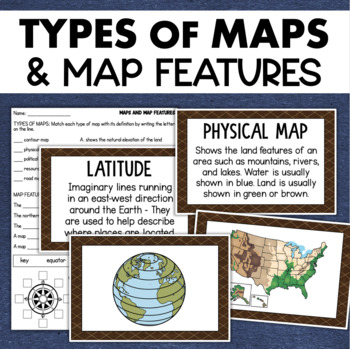
Types of Maps Map Features Skills Geography Posters Social Studies Assessment
Students will learn about different types of maps and common map features with this social studies resource. It includes 17 visuals/posters plus a worksheet/assessment.MAPS POSTERSThese can be kept together as a single page or cut apart into separate cards for display or a matching activity. The top of each card has the title and definition, and the bottom has a full-color illustration. WORKSHEETThis activity requires students to match the types of maps to their purpose, know the function of var
Subjects:
Grades:
3rd - 6th
Types:
Also included in: Geography Landforms & Bodies of Water Types of Maps Map Elements Posters
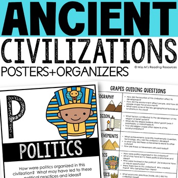
Ancient Civilizations GRAPES Posters Ancient Greece Ancient Rome Ancient China
Help your students learn and organize info about ancient civilizations with these G.R.A.P.E.S. posters, guiding questions, and graphic organizers! The GRAPES Ancient Civilizations Poster and Graphic Organizer Set is an easy acronym to organize information for the basic traits of ancient civilizations. G.R.A.P.E.S. is an acronym for:G- GeographyR- ReligionA- AchievementsP- PoliticsE- EconomicsS- Social StructureGRAPES is an effective way to learn and organize information about different civilizat
Grades:
6th - 8th
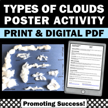
Types of Clouds Activity Craft Science Anchor Charts 4th 5th 6th Grade Posters
You will download a types of clouds craft activity for your 4th, 5th, and 6th grade science students. They work well as bulletin board posters.Your students will create types of clouds using of cotton balls. An anchor chart and types of clouds descriptions are provided. Grading rubrics are also provided.➥ Click HERE to go back to my storefront and browse the categories on the left.▶︎ TERMS OF USE: Single classroom use only. Password protected classroom websites only, not to be found on Google
Grades:
4th - 6th
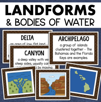
Landforms and Bodies of Water Posters Geography Skills Vocabulary Worksheet
Give your landforms and bodies of water unit a visual boost with this set of illustrated examples! Students will get to SEE what each landform or water body looks like and better understand their features.WHAT YOU WILL GETThis resource contains 24 visuals plus a digital assessment. Each page includes an illustration of the landform or body of water along with the title and definition. Includes:archipelagobaybeachbuttecanalcanyoncavecliffdeltaduneglacierhillislandisthmuslakemesamountainoceanpenin
Grades:
4th - 7th
Also included in: Geography Landforms & Bodies of Water Types of Maps Map Elements Posters
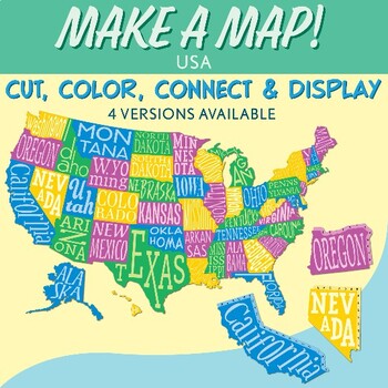
Interactive Bulletin Board United States Map Activity
Transform your classroom into a vibrant learning space with this Interactive Bulletin Board United States Map Activity. This engaging project invites students to actively participate in constructing a colossal wall map of the USA, fostering a collaborative and hands-on approach to learning United States geography. Assign each student a state and watch as the United States comes together, state by state, on your bulletin board! The finished map is an impressive 73 inches in length and 55 inches i
Grades:
4th - 7th
Also included in: USA Geography MEGA Bundle
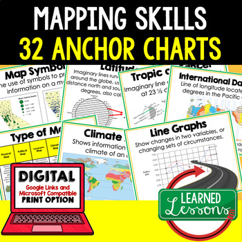
Mapping Skills Anchor Charts (World Geography Anchor Charts), Posters, Google
Mapping Skills Anchor Charts (Great as Bellringers, Word Walls, and Concept Boards), Mapping Skills Posters, Geography Review Pages, Digital Activity via Google Classroom This bundle will take your through the entire Geography curriculum. It will include all components of Geography. This is perfect for traveling around the world in style. THIS IS ALSO PART OF World Geography MEGA BUNDLE, Mapping Skills BUNDLE, Geography ANCHOR CHART BUNDLE Anchor charts are great for representing the topics
Grades:
6th - 12th
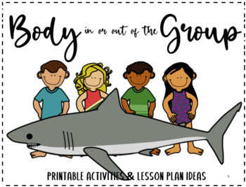
Body IN or OUT of the Group
Activities, posters and lesson plan ideas were developed to help students gain the social skills needed to be part of a group by understanding how to keep their body in the group. Acknowledgements:All illustrations by Michelle MooreheadThis file is an independent product and is not affiliated with, nor has it been authorized, sponsored, or otherwise approved by Think Social Publishing, Inc. or the authors of the We Thinkers Curriculum or Storybooks Vol 1 or Vol 2 © (2013 and 2016) by Ryan Hendri
Subjects:
Grades:
PreK - 1st
Types:
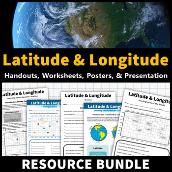
Latitude and Longitude Activities | Map Skills Worksheets Posters Presentation
Learning about latitude and longitude is fun and easy with this resource bundle! This ready-to-use no prep value bundle teaches students about latitude and longitude, the hemispheres of the world, major lines of latitude and longitude (Equator, Prime Meridian, Tropic of Cancer and Capricorn, Arctic and Antarctic Circle), and finding locations using geographic coordinates! This bundle includes: Four handouts introducing latitude and longitude, the world's hemispheres, absolute and relative locati
Grades:
5th - 9th
Types:
CCSS:
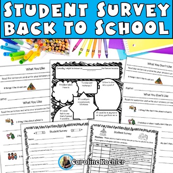
Student Interest Survey Beginning of the School Learning Inventory Elementary
5 unique printable student interest surveys for back to school time. Useful for elementary, middle school, high school, and students in special education. This no-prep activity will have you ready for the first day or week of school and armed with valuable information about your students. Included in this Student Interest Survey Set are ★ Traditional Student Survey (write out) (1 page)★ Student Survey Yes/No Grid (1 page)★ Fun Get to Know You Page (1 page)★ What You Like (2 pages)★ What You D
Grades:
2nd - 12th
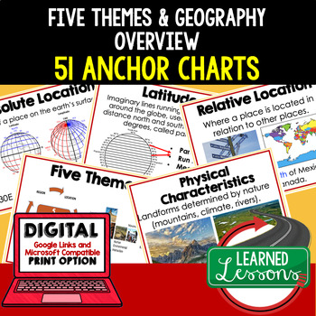
Five Themes of Geography Anchor Charts (World Geography Anchor Charts), Posters
Five Themes and Geography Anchor Charts (Great as Bellringers, Word Walls, and Concept Boards), Five Themes Posters, Geography Review Pages, Google Classroom, Print & Digital Distance Learning This bundle will take your through the entire Geography curriculum. It will include all components of Geography. This is perfect for traveling around the world in style. THIS IS ALSO PART OF World Geography MEGA BUNDLE, Five Themes BUNDLE, Geography ANCHOR CHART BUNDLE Anchor charts are great for
Grades:
6th - 12th
Types:
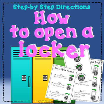
Step-By-Step Directions: How to Open a Locker
Do you have students that are struggling with how to open their lockers or combination locks?This product includes 3 different versions:1 x How to open a locker (clear step-by-step directions)1 x How to open a locker (clear step-by-step directions/4 small sheets)1 x How to open a combination lock (clear step-by-step directions)1 x How to open a combination lock (clear step-by-step directions/4 small sheets )1 x How to open a locker (short version)1 x How to open a locker (short version/4 small s
Grades:
Not Grade Specific
Types:
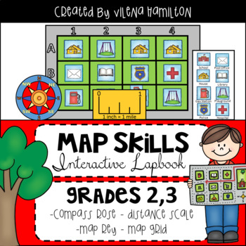
Maps. Map Skills. Compass Rose. Distance Scale. Map Key. Map Grid.
Social Studies Map Skills. Compass Rose. Map Scale. Map Key. Map GridThis resource includes Informational Posters, Lapbook Activities, Quiz, and Answer Keys for everything. Please download the Preview for a better view. Here is what’s included:1) 6 Full Page Lesson Posters:-All About Maps- Types of Maps- Compass Rose- Map Scale- Map Key- Map Grid2) Fun Interactive Lapbook Activities: -Detailed 2-page Lapbook Instructions with photos- Vocabulary: match the words with their definitions - Compass R
Subjects:
Grades:
2nd - 3rd
Types:
Also included in: Social Studies Bundle
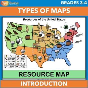
Types of Maps Anchor Charts (Posters), Cards, and Worksheet
Support your map skills unit with anchor charts, cards, and a worksheet. You can project them for instruction, print 8.5 x 11" versions as posters for your classroom bulletin board, or use the smaller set (1/4 page) for activities.Open the preview to take a closer look.Eight maps are included in two sizes. You can use the full-sized pages as anchor charts or posters. The smaller set work well for kids to use in social studies activities.ClimateElevationPhysicalPoliticalResourceRoadWeatherSpecial
Subjects:
Grades:
3rd - 5th
Types:
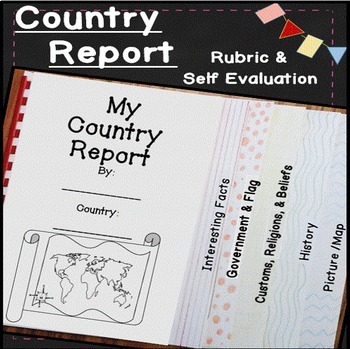
Country Research Projects Template | Countries Around the World | Country Report
Make learning about other countries exciting with this easy to use country report! Students will explore other cultures around the world with these open-ended research pages and create a 6 page flip book country research project. I've included directions, country report blacklines, a country report rubric, and a student self evaluation. Everything you need to teach and organize country reports is included in this time-saving unit!✅ What's included: ✅interesting factsgovernment and the flagcustom
Subjects:
Grades:
4th - 7th
Geography: Who's The Boss? Comparing World Government Types (Easel Activity)
Students will have a blast with this assignment! As students put their thoughts together to decide which world government types and systems — democracy, direct democracy absolute monarchy, consituational monarchy, oligarchy, etc — work best in various scenarios, they will become familiar with how government systems work. Encourage your students to think outside the box to problem solve and to do their best! Acquiring higher-level thinking skills is a process and a skill that has to be developed
Grades:
6th - 10th
Also included in: NEW! Geography: Types of World Governments Bundle + FREE RESOURCE
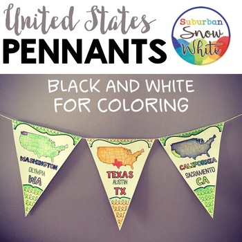
5 Regions of the United States Map | Pennants Banners |
Grab this gorgeous, welcoming, and instructive decoration for your classroom or hallways! Feast your eyes on the Preview to see all the goodies you get!People who have purchased this product have said ..."My students loved decorating these and they made for a great decoration for our hallway!""Cannot say enough positive things about this resource. These flags are the most beautiful addition to our classroom, the kids had so much fun decorating them, and they are constantly referring to them when
Subjects:
Grades:
4th - 5th
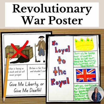
Revolutionary War Poster Project for Loyalists and Patriots US History Project
Looking for an American Revolution project? Students will create a poster for the American Revolution to convince people to join the Loyalists or Patriots. Students will research about the Revolutionary War to create their posters in your US History class. With this project, your class create meaningful artwork, while also engaging with important historical events. Make history fun with this Revolutionary War Poster Project!*No Prep Necessary* This project has clear directions for the poster, a
Grades:
8th - 11th
Types:
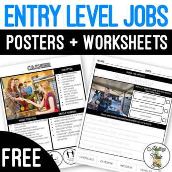
Entry Level Jobs Posters & Worksheets FREEBIE
FREE Career posters with simplified descriptions highlighting job sites, what they do, and skills needed along with visuals. Simplified reading comprehension questions highlighting job sites, what they do, skills needed, preferences and job interest. These are great for special education students looking to explore career interest options. The pictures depict individuals of different genders, ethnicities, and with disabilities!Want the full version of these activities? Check out:ENTRY-LEVEL JOB
Grades:
6th - 12th, Higher Education, Adult Education
Also included in: Entry Level Job Posters & Worksheets BUNDLE Distance Learning
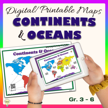
Continents and Oceans World Maps Poster Digital & Printable Handouts+ Boom Cards
"Continents and Oceans" is a set of digital and printable world maps and the individual continent maps: Europe, Asia, Africa, Australia, North America, South America, and Antarctica maps. It is perfect for traditional classroom settings, 1:1 schools, or distance learning in your Science and/ or Social Studies classrooms. These diverse maps are an excellent way to supplement your existing Science and/ or Social Studies curriculum. In no way it is intended or designed to replace it. It is about gi
Subjects:
Grades:
1st - 12th
Types:
Also included in: Social Studies United States Geography US History Growing BUNDLE
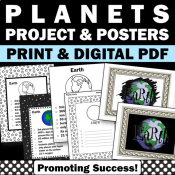
Planets of the Solar System 3rd 4th 5th Grade Science Posters Research Project
Astronomy Unit Supplement: You will download a planets poster packet for your 3rd, 4th, 5th, and 6th grade science students to research and review fun facts and information about the planets of the solar system. This planets of the solar system packet includes the following:8 planet posters in color with fun facts8 planet posters in black and white to use a planet coloring pages8 page (8.5x11") planet coloring book with planet facts8 page (8.5x11") coloring book with blank lines to use as a plan
Grades:
4th - 6th
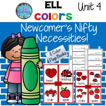
ESL Back to School Color Words Flap Books | Newcomer Activities
This activity is to help our new ELL's learn color names in English as well as simple singular and plural sentence structures. There are 16 posters that the children can use to make 8 Flap Books for 8 colors. Detailed Lesson Plans are included based on WIDA standards.DIGITAL COMPATIBLE: Through Easel Activities, this product contains an INTERACTIVE PDF. You will be able to annotate and customize it for your distance learning needs. Underlying content is not editable. Your students will complete
Subjects:
Grades:
PreK - 2nd
Finding Mean, Median, Mode, and Range
Simple worksheets (5 problems each) to introduce and practice finding the mean, median, mode, and range of a data set. Have students complete with or without calculator, depending on their instructional level. Product includes:-Reference posters for mean, median, mode, and range. Each poster includes the measures' definitions and directions for how to find them with an example.-5 worksheets about finding the mean.-5 worksheets about finding the median.-5 worksheets about finding the mode.-5 work
Subjects:
Grades:
1st - 12th
Types:
Showing 1-24 of 137 results

