251 results
Not grade specific geography workbooks for Montessori
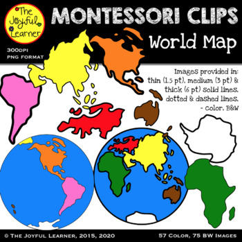
Clip Art: Montessori World Map & Continents
Thank you for your interest in the Montessori World Map Clip Art set! This set includes images for the 7 continents and the Eastern and Western and Hemispheres. Images are provided in:* traditional Montessori colors and B&W, * thin (1.5 pt), medium (3 pt) & thick (6 pt) solid lines, and * dotted & dashed lines.There are a total of 57 color images and 75 BW images. These images are high resolution (300dpi), vector drawn, so they can be enlarged or made smaller without losing resolutio
Subjects:
Grades:
Not Grade Specific
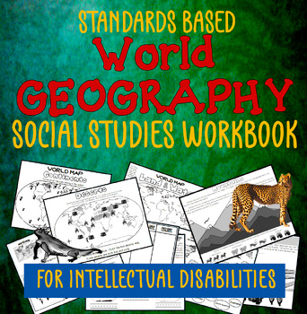
Social Studies Workbook: World Geography for SPED & Intellectual Disabilities
This is a stand-alone workbook that teaches students standards-based (Social Studies) Geography. It covers many geography standards through the 5th grade and is tailored to students labeled as having “intellectual disabilities”. The workbook attempts to ‘teach’ the concepts through repetition. It is also designed to support the teacher as much as possible: there is NO PREP necessary. Please take a minute to check out the PREVIEW. It shows you every page in this workbook; you'll be able to determ
Grades:
Not Grade Specific
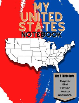
My 50 States NoteBook: Learn and Fill the Facts!
This is a workbook that helps children journey through the 50 states, learning all the facts in each state. There is a page for every state where the child fills in these facts:-Capital-Date Founded-Abbreviation-Bordering States-Motto-Famous Person-State Bird-State Flower- Fun FactsWhen they are done, they find the state on the map and color in its location. This is a fun interactive way to learn all the information about the 50 states. When they are done they will have completed a wonderful not
Grades:
Not Grade Specific
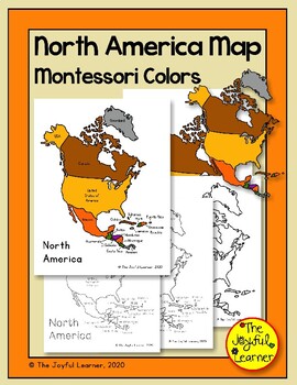
North America Map (Montessori Colors) Printable - Includes tracing sheets
Thank you for your interest in the North America Map printable set! This material will help children learn about North America. The map is colored in traditional Montessori colors which match the puzzle map.The set includes:Color map labeled with country namesBlack/white map labeled with country namesColor map unlabeledBlack/white map unlabeledBlack/white map with dotted country labels (for tracing)Black/white map with dotted lines and labels (for tracing)The purchase of one license of this prod
Subjects:
Grades:
Not Grade Specific
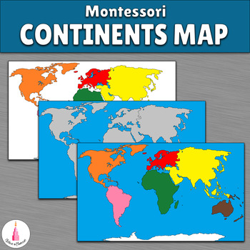
Montessori Continents Map
This map is a wonderful substitution or a variation for the Montessori continents puzzle.How can you use it:✔ use colored map for learning about the continents ✔ use colored map for placing animals figurines or little cards of animals, plants, landmarks, and other ✔ cut out the continents from the white map and use them with the gray map as a matching workThe maps have the A4 size.You can use this map for sorting the animals from Animal figures for the continents map setIf you plan to work with
Subjects:
Grades:
Not Grade Specific
Types:
Beginner's Japanese Course || 10-Weeks || Nihongo || No-Prep 300+ Pages
A 10-week, no-prep beginner's Japanese course that teaches the basics of introductions, numbers, colors, animals, days of the week, hiragana, katakana, school and family life!*This bundle is now complete :3*An example of what each week includes:Week 1Making and exchanging Meishi (business cards)Finding Japan on a world mapResearching Japan's key factsIdentifying Japanese vocabulary in the English languageSpeaking activitiesAn 18-slide Teaching PowerPoint'How to use this product' explanation with
Subjects:
Grades:
Not Grade Specific
Types:
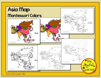
Asia Map (Montessori Colors) Printable - Includes tracing sheets
Thank you for your interest in the Asia Map printable set! This material will help children learn about Asia. The map is colored in traditional Montessori colors which match the puzzle map.The 12 page set includes:The set includes:Maps labeled with country names and unlabeledMontessori puzzle map colorsBlack & white (thick and thin lines)Dotted lines (heavy and light dots) for tracingDashed lines for tracingThe purchase of one license of this product allows for single teacher, single classro
Subjects:
Grades:
Not Grade Specific
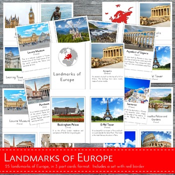
Montessori Landmarks of Europe 3 Part Cards and Fact Cards
This learning material features 26 high quality REAL images of known landmarks in Europe in 3 part card format. This file is in a .zip form and contains 2 sets of PDF files: (1) Landmarks of Europe with BORDER (2) Landmarks of Europe without border. ⭐Each file includes:- 26 control cards (picture and label)- 26 picture cards- 26 labels- title cards- 26 fact cards⭐THIS FILE IS PART OF A BIGGER BUNDLE, which includes all LANDMARKS in continents of Asia, Africa, North America, South America and Eu
Subjects:
Grades:
Not Grade Specific
Types:
Also included in: Landmarks Around the World Bundle Pack
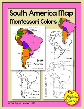
South America Map (Montessori Colors) Printable - Includes tracing sheets
Thank you for your interest in the South America Map printable set! This material will help children learn about South America. The map is colored in traditional Montessori colors which match the puzzle map.The set includes:Color map labeled with country namesBlack/white map labeled with country namesColor map unlabeledBlack/white map unlabeledBlack/white map with dotted country labels (for tracing)Black/white map with dotted lines and labels (2 versions; for tracing)The purchase of one license
Subjects:
Grades:
Not Grade Specific
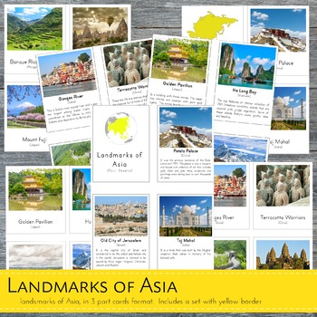
Montessori Landmarks of Asia 3 Part Cards and Fact Cards
This learning material features 19 high quality REAL images of known landmarks in Asia in 3 part card format. This file is in a .zip form and contains 2 sets of PDF files: (1) Landmarks of Asia with BORDER (2) Landmarks of Asia without border. ⭐Each file includes:- 19 control cards (picture and label)- 19 picture cards- 19 labels- title cards- 19 fact cards⭐THIS FILE IS PART OF A BIGGER BUNDLE, which includes all LANDMARKS in continents of Asia, Africa, North America, South America and Europe
Subjects:
Grades:
Not Grade Specific
Types:
Also included in: Landmarks Around the World Bundle Pack
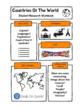
Research A Country Of The World. Presentation. Geography. Culture. Project. ESL.
50 templates for students to research one country of the world and then report back to the class their findings. Includes a blank template to use with any other country not included. Students research basic information, label a map, list interesting facts, design the flag and list famous landmarks. Also, includes access to 100s of professionally designed Quizlet sets (click the logo to go to the folder) for studying world countries, flags, cities. ESL, EFL, ESOL, project, worksheets, research,
Grades:
Not Grade Specific
Types:
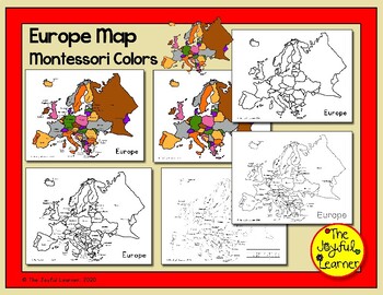
Europe Map (Montessori Colors) Printable - Includes tracing sheets
Thank you for your interest in the Europe Map set! This material will help children learn about Europe. The map is colored in traditional Montessori colors which match the puzzle map.The 8 page set includes:Labeled color mapUnlabeled color mapLabeled black/white map (thick and thin lines)Unlabeled black/white map (thick and thin lines)Dotted maps with labels (heavy dots and light dots). Because of the small size of many of the countries, it was not possible to include maps with dotted country na
Subjects:
Grades:
Not Grade Specific
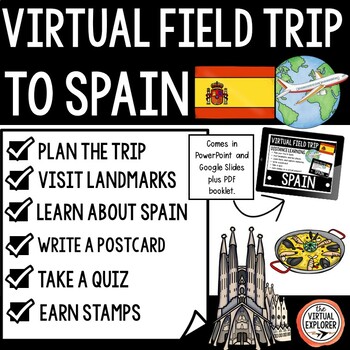
Virtual Field Trip to SPAIN Country Study - Cultures Around the World
Explore Spain from your classroom with this virtual field trip to Spain! This interactive journey will immerse your students in an engaging Spain country study and expose them to the Spain's unique geography, culture, language, and flavors. Virtual field trips make exploring cultures around the world easy!✔ Check out the preview for a closer look!Kick off your Spain country study with the included trip planner; students will make some predictions after being given a few hints, and then they'll c
Grades:
Not Grade Specific
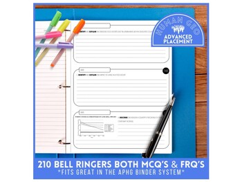
Daily Bellringer | 210 Question Slides | AP Human Geography | Year-Long Resource
Set yourself up for success with this year long resource. Included is a slide deck with 210 FRQ and MCQ bellringers. Questions have been sourced from past APHG exams. Each bellringer includes a slide with the answer options. Slide Deck - 419 SlidesEach slide is labeled with a question number. Slides can be moved around to suit your needs. Questions are loosely grouped based on units. Each unit has a minimum of 25 bellringers, with some having more, depending on the source availability. There are
Subjects:
Grades:
Not Grade Specific
Also included in: Everything AP Human Geography Bundle
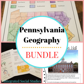
Pennsylvania Geography Bundle
Teaching Pennsylvania geography can now be your favorite part of the year because I've created three awesome PA-specific geography resources that can be used in a variety of grades and learning levels. Pennsylvania Geography Workbook: Students will learn about PA's mountains, rivers, state parks, and the National Forest as well as learn to differentiate between physical and human geography.Pennsylvania Regional Geography Workbook: PA Regional Geography focuses on where you and your students liv
Grades:
Not Grade Specific
Types:
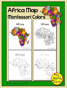
Africa Map (Montessori Colors) Printable - Includes tracing sheets
Thank you for your interest in the Africa Map printable set! This material will help children learn about Africa. The map is colored in traditional Montessori colors which match the puzzle map.The 14 page set includes:The set includes:Maps labeled with country names and unlabeledMontessori puzzle map colorsBlack & white (thick and thin lines)Dotted lines (heavy and light dots) for tracingDashed lines for tracingThe purchase of one license of this product allows for single teacher, single cla
Subjects:
Grades:
Not Grade Specific
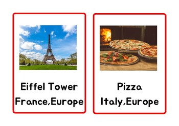
Montessori Geography Cards
Montessori Geography cards cover a wide range of topics, from continents and landmarks to glacier parts, providing children with valuable insights about their planet! Presenting 10 parallel images for each of the seven continents, these photo cards provide a diverse representation of life, landscapes, and cultures across the globe. The purpose of parallel images is to cultivate an equitable and well-rounded understanding, empowering children to compare and contrast elements like clothing, food,
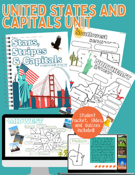
United States and Capitals Unit with Slides
This Teachers Pay Teachers product is a comprehensive unit designed to teach students about the United States and their capitals. The unit includes a detailed student packet where students can fill in the capitals for each state, helping them to actively engage and reinforce their learning. Additionally, the unit is divided into five regions, with quizzes provided for each region to assess students' understanding and retention of the material. There are multiple quiz options available, allowing
Grades:
Not Grade Specific
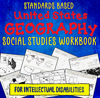
Social Studies Workbook: U S Geography Standards-Based Intellectual Disabilities
This is an 80 page standards-based U.S. Geography workbook designed for students labeled as having an “Intellectual Disability” and/or students that may be in special education. It addresses multiple Geography standards from Kindergarten through the 5th grade. Take a look at the PREVIEW. It shows you every page of the workbook! This workbook is visually focused. Many pages have a narrative, but definitions have very few words, if any. Many pages have larger print and larger pieces to cut or m
Grades:
Not Grade Specific
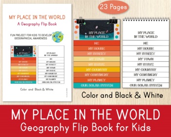
My Place in the World Flip Book, Geography Activity, Craft Activity
♥♥♥ Manage the educational needs of children at home or in school with this Geography Flip Book. Our My Place in The World, Geography Flip Book is a fun project for kids to develop geographical awareness. Kids can draw and write about themselves, their planet, continent, country, town, etc. By developing a sense of place, children can begin to understand and build their relationships with other people and the environment.♥♥♥ You will get 23 PDF pages: 1 cover page and 22 worksheets.******You wil
Subjects:
Grades:
Not Grade Specific
Types:
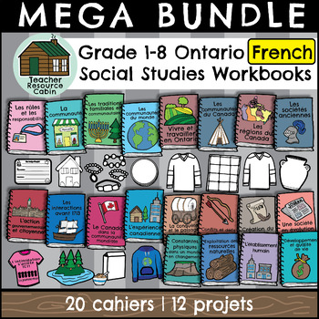
MEGA BUNDLE: Grade 1-8 Ontario FRENCH Social Studies Workbooks/Projects
This FRENCH MEGA BUNDLE contains workbooks for ALL Grade 1-8 Ontario Science Units and projects for Grade 1-6. Each workbook meets the Ontario Curriculum expectations for an ENTIRE Social Studies unit in FRENCH.This product is PERFECT for a prep coverage teacher who teaches social studies to multiple grade levels. All workbooks are no-prep. Just print and go! Note: This bundle is intended for use by one teacher only. Additional licenses for schools can be purchased at a reduced cost. All workboo
Subjects:
Grades:
Not Grade Specific
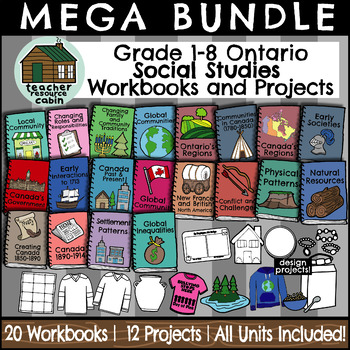
MEGA BUNDLE: All Grade 1-8 Ontario Social Studies Unit Workbooks
This MEGA BUNDLE contains workbooks for ALL Grade 1-8 Ontario Science Units and projects for Grade 1-6. Each workbook meets the Ontario Curriculum expectations for an ENTIRE Social Studies unit.This product is PERFECT for a prep coverage teacher who teaches Social Studies to multiple grade levels. All workbooks are no-prep. Just print and go! Note: This bundle is intended for use by one teacher only. Additional licenses for schools can be purchased at a reduced cost. All workbooks together total
Grades:
Not Grade Specific
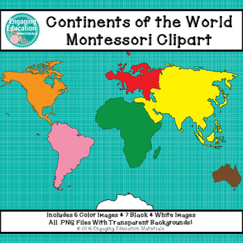
Continents of the World Montessori Clipart
This set of Continents of the World clipart corresponds to the Montessori continent colors. The clipart is separated by continents and does not include a world map image. There is a total of 13 images (6 color images and 7 black & white images). All images are .png files with a transparent background. This download is saved as a zip file. This clip art can only be used to create educational resources for small business use (Teachers Pay Teachers, Teachers Notebook, or Etsy). This clip art
Subjects:
Grades:
Not Grade Specific
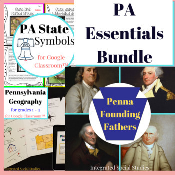
Pennsylvania Essentials Bundle
To teach Pennsylvania social studies one must focus on three essential elements: geography, state symbols, and the founding fathers. All three are included in this bundle and now you know you will meet all of your PA state social studies requirements. PA Geography: This workbook is 10-pages of basic PA geography that helps students understand the difference between physical and human geography, rural and urban, weather, and cardinal directions. Both Google Classroom™ and print version. PA Symbol
Grades:
Not Grade Specific
Types:
Showing 1-24 of 251 results


