16,692 results
Geography worksheets for homeschool under $5
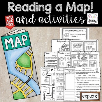
Map Skills- Reading a Map and Activities
✅⭐️Are you studying maps in your primary classroom? If so, then you will love this all inclusive NO PREP set! Not only does it go over cardinal directions and how to read a map, it also reviews parts of a map such as the map key, title, and compass rose. It is a perfect lesson to include in your social studies geography unit!⭐Please know that this resource is a PDF. It is great for distance learning if you are sending home packets or are able to transfer it to Google Slides™ to use in Google Cla
Subjects:
Grades:
K - 5th
Types:
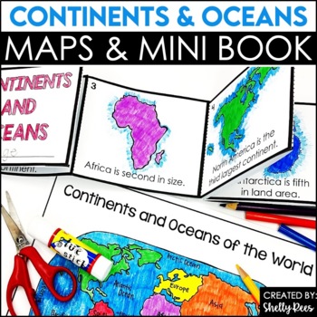
Label Continents and Oceans Activities | Blank World Map Printable 7 Continents
Students LOVE learning about the Continents and Oceans of the World with these fun hands-on activities, including a 7 continents mini-book, blank world map, coloring pages, and even a label continents and oceans quiz. This NO PREP packet is easy for teachers and engaging and hands-on for students!Please click on the preview button above to take a look at everything included.This resource includes:7 Continents Mini-BookColoring Pages/Posters of Each ContinentBlank World MapLabeled World MapPost-U
Subjects:
Grades:
2nd - 5th
Types:
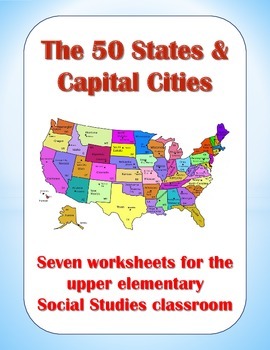
50 States and Capital Cities Worksheets for Upper Elementary Students
These worksheets are good tools for teaching students about the fifty states and their capital cities. In this packet, you will find the following worksheets and visual aids:
(1) State Capitals – Students must find all 50 state capitals and write them down on the blanks provided.
(2) The 50 States & Their Capitals – Students must write down the name of each state on the blanks provided.
(3) State Abbreviations – Teach students the proper postal abbreviations for all 50 states.
(4) State Nick
Grades:
3rd - 6th
Types:
Also included in: Creative Geography Assignments Bundle about the United States of America
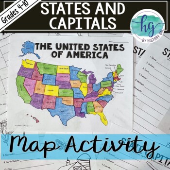
50 States and Capitals Map Activity with printable worksheets & digital map game
Do your students need to know the state capitals and the location of each state on a map? This engaging map set for the 50 states and their capitals will guide your students through labeling a blank map and learning the capitals. Print and digital options plus access to online self-checking map and flashcards let you easily customize the lesson to best fit the needs of your students. Students will label a blank map of the United States with the names of the 50 states and then record the capital
Subjects:
Grades:
4th - 10th
Types:
Also included in: American History Map Activities Bundle for U.S. History Units & Lessons
Map Skills Mapping - Design Your Own Amusement Park
Review the basics of mapping with this fun and engaging activity! Using map skills learned in class, students must design a map of their own amusement park and include mapping elements such as scale, a legend, symbols, and more! They must also write about and explain their "best" or most amazing ride. This activity has always been one of my students' favorite projects! It's a fun and unique way to wrap up a mapping unit or a fun project for social studies!I encourage the students to pick a them
Subjects:
Grades:
6th - 9th
Types:
7 Continents And 5 Oceans Activity Printables & Project - Cut, Paste, Label, Map
Are you looking for an engaging way to teach your students about the 7 continents and 5 oceans? These printables and fun continent activities will keep your kids engaged while they label, color, cut, and paste as they learn about the world. This mini-book is full of informational text about each continent organized into bite-sized chunks. You'll also find interactive pages to help your students comprehend and retain the information they read.In addition to the interactive mini-book, you'll also
Subjects:
Grades:
2nd - 3rd
Types:
Five Themes of Geography Reading Comprehension Worksheet and Activities
Several Social Studies' Pacing Guides call for review or teaching of the Five Themes of Geography. I found that even though my students had seen this information in the past, they were still confused about some of the differences. This product gives students an informational passage (800-900 Lexile Level) on the history of the themes and a brief description of each. A graphic organizer is provided for students to complete while reading the passage. This can be done as whole group instruction,
Subjects:
Grades:
4th - 7th
Types:
Also included in: Social Studies MEGA Reading Comprehension Bundle For Buyer
MAPS - How to Use a Map - Mapping Unit for Kindergarten and First Grade
Teach your students all about maps with this adorable, hands-on unit. We learn about using directional words with a compass rose, how to use map grids (find square A2, C3, etc.) how to make your own map, where we live on the map, how to find specific places on town maps and more! THESE MAP ACTIVITIES ARE INCLUDED IN MY ALL ABOUT EARTH UNITPlease do not purchase this listing if you already own Unit 8 All About Earth.--------------------------------------------------------------------------------
Grades:
K - 2nd
Types:
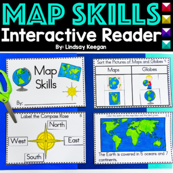
Map Skills Interactive Reader for Maps, Globes, Directions and more
These map skills worksheets are so much fun for young learners. Use this interactive mini-reader to help reinforce your student's understanding of maps, globes, cardinal directions, land, water and more!This map skills book can be used across several lessons and is perfect for whole group, small group or center activities.Each page has information about map skills and tasks for students to complete to help them show their understanding of the topic.Map Skills included in this interactive reader
Grades:
K - 2nd
Types:
Also included in: Interactive Books Bundle Readers for Math, Science and Social Studies
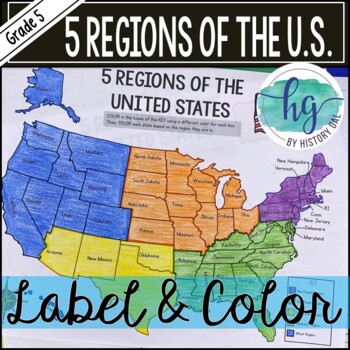
5 Regions of the United States Map Activity (Print and Digital)
Students will label and color a map to help them learn and remember the states in each of the 5 regions of the United States - Northeast, Southeast, Southwest, Midwest, and West. Since state standards vary on the region placement of Delaware and Maryland (some place them in the Northeast while others place them in the Southeast), this download now includes both variations.Version 1 (Delaware and Maryland in the Southeast):Northeast (Connecticut, Maine, Massachusetts, New Hampshire, New Jersey, N
Subjects:
Grades:
5th
Types:
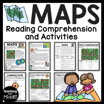
Map Skills Reading Comprehension Worksheets and Activities
Need to briefly explain or review map skills with your students? This product provides several activities to accomplish this. The PDF file includes: map overview reading passage with 15 comprehension questions (types of maps identification and term identification), grid coordinates practice, compass rose review, Which Direction?, and Types of Maps (8 questions). I use this at the beginning of the school year to review map skills with my students. I've provided a color and black and white vers
Grades:
4th - 7th
Types:
Also included in: Social Studies MEGA Reading Comprehension Bundle For Buyer
Cultures Around the World Research Culture & Traditions Project Passport
Teaching your students about other people and their culture can instill compassion and understanding in young learners. With this project, students can get their passports stamped in 16 countries! They will learn about different cultures, flags, maps, and more using this fun and, high-interest resource! Great for your Social Studies Lessons. Great for Summer School!This product works well with the following objectives:2nd Grade TEKS 2.10 Culture.Culture. The student understands similarities an
Subjects:
Grades:
2nd - 4th
Types:
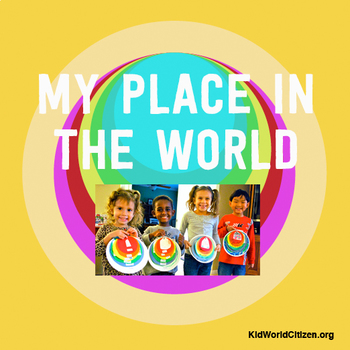
My Place in the World Project: "Me on the Map" Geography for Kids
This hands-on geography project "My Place in the World" has kids create a visual representation of how we fit into the world. Teachers often use it with the kids' geography book "Me on the Map," by Joan Sweeney. Ideal for integrated Social Studies, ELA, Geography, Literacy, and Map Skills.Using a series of nesting circles to show the relative sizes of different geographic places, this simple but effective geography lesson helps kids sort out their relation to one another. This activity includes
Grades:
K - 5th
Also included in: Geography for Kids Bundle: Three Essential Hands-on Activities
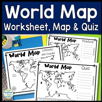
World Map: World Map Quiz (Test) and Map Worksheet | 7 Continents and 5 Oceans
Map of the World Test: Easy-to-read World Map Quiz requires students to locate 7 Continents and 5 Oceans. This resource also includes a world map printable for kids to practice learning the map of the world. Students must label continents and oceans: 7 Continents (Asia, Africa, North America, South America, Antarctica, Australia & Europe) and 5 Oceans (Atlantic, Pacific, Indian, Arctic & Southern). This is an ideal continents and oceans activities for 1st grade, 2nd grade, 3rd grade, 4th
Grades:
2nd - 6th
Types:
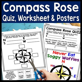
Compass Rose Worksheet, Quiz Test & Posters: Cardinal Intermediate Directions
Compass Rose Quiz, Posters & Practice Sheet Activities for Teaching Cardinal & Ordinal Directions. Students will enjoy practicing cardinal and intermediate directions with these Compass Rose Posters, Cut-and-Paste Compass Rose Worksheet printable and coordinating Compass Rose Quiz. Students must also create an original phrase to remember the directions, i.e. Never Eat Soggy Waffles! Teaching map skills? Need to review a compass rose for kids? Confused by north, east, south, & wes
Grades:
2nd - 6th
Types:
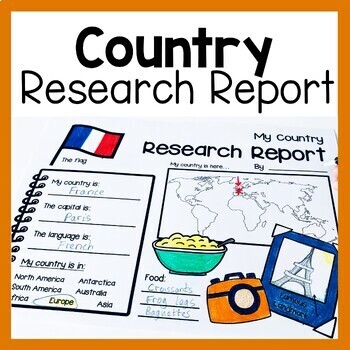
Country Research Report Worksheets and Graphic Organizers Google Slides
Are you looking for engaging activities for writing a country research project? These country research graphic organizer worksheets are perfect for your literacy and social studies lessons about countries. They are ideal for research projects and report writing. They are also great for reading lessons with informational texts.These informational essay graphic organizers are offered as no prep printables, as well as in digital formats (TPT Easel and Google Slides). Here's the thing. You want your
Subjects:
Grades:
1st - 3rd
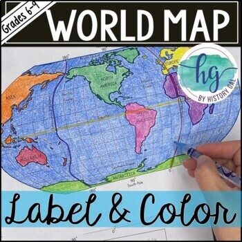
World Map Activity (Print and Digital)
Students will label 17 items on the world map including the continents, oceans, equator, prime meridian, international date line, North Pole and South Pole. Alternatively, students can just color on the coloring page version. What's included with the Printed Versions:*Blank World Map for students to label and color (1 page, uneditable pdf)*World Map Coloring Page (1 page, uneditable pdf)*Map Key (1 page, uneditable pdf)*Animated PowerPoint and Google Slides shows each location and is perfect fo
Subjects:
Grades:
6th - 10th
Types:
Geography: Map Skill Cardinal Directions Worksheets:
Geography: Map Skill Cardinal Directions Worksheets:Following worksheets are included:1 directions worksheet.2 compass rose worksheets.3 worksheets..... My bedroom.3 worksheets..... My Neighborhood.3 worksheets...... My Classroom.2 worksheets....... My City.1 worksheet.....Grandma's FarmAssessment worksheets and answer keys are also included.Note: Kindly give me positive 5 stars rating. Thankyou!Kindly check my other Geography products :<a herf=”https://www.teacherspayteachers.com/Product/Geo
Subjects:
Grades:
K - 5th
Types:
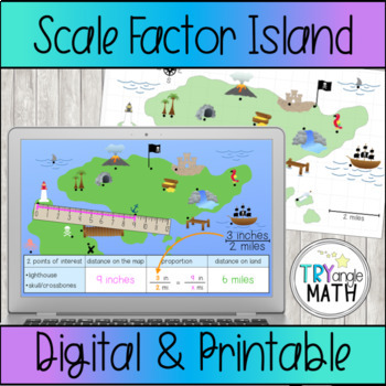
Proportions and Scale Factor Treasure Map Digital Activity
Practice using proportions to find the distance represented on a map with this fun treasure map! Measure or count the distance between 2 points of interest on the map. Be careful, some points are halfway between two numbers! Then, write a proportion and solve to find the distance on "real land."Includes 6 versions:The Google Slides digital version has a ruler to measure in inches. The rulers are already at the correct angle so students just need to click and drag to measure. Includes 15 ques
Subjects:
Grades:
6th - 8th
Types:
Also included in: Proportions Digital Activity Bundle
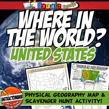
United States Where in the World Scavenger Hunt & US Map Geography Activity
This geography activity is completely student-driven, fun, and interactive. It can be done with any textbook map or atlas with the physical geography of the U.S. If this resource is not available, a map of the U.S. is included. First, students create a physical map of the U.S., labeling key features. A template is included. Then, students play the Where in the World Scavenger Hunt printable clue game. Students guess the features by reading four description clues for differing geographical featur
Grades:
4th - 8th
Types:
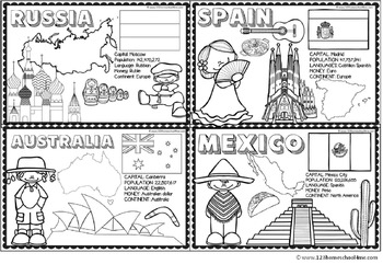
Countries Around the World
If your students are learning about countries around the world this is a handy resource. Kids will learn and commit facts to memory as they color famous landmarks, country shape, flags, traditional clothing, and more for 18 countries including:
- Greece
- Italy
- France
- United Kingdom
- Brazil
- Netherlands
- United States
- Egypt
- China
- Japan
- Peru
- Russia
- Australia
- India
- Kenya
- Spain
- Mexico
Subjects:
Grades:
PreK - 4th
Types:
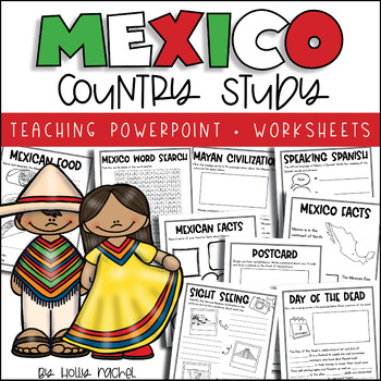
All About Mexico - Country Study
Your students will love learning all about Mexico with this fun country study! Included is a Powerpoint slideshow (.pptx) to teach your class all about Mexico, the capital city, flag, food, language, famous landmarks, the Day of the Dead and the Mayan Civilization! Student activity worksheets are also included based on the facts in the Powerpoint (all differentiated on two levels to support the different abilities in your class), plus a Mexico word search, postcard activity and favorite facts ac
Subjects:
Grades:
1st - 3rd
Also included in: Country Study Bundle
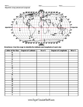
Latitude and Longitude Worksheet & Answer Key
This worksheet is an awesome way to teach Latitude and Longitude. The way that it is structured reinforces that Latitude measures North and South of the Equator, and that Longitude measures East and West of the Prime Meridian. This worksheet features a World Map with an Answer Key.
Subjects:
Grades:
3rd - 12th, Higher Education, Adult Education
Types:
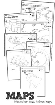
Full Page Maps of the World / Continents
Included are 19 pages of full page maps:
- color the continents
- label the continents
- Africa (labeled & plain)
- Antarctica (labeled & plain)
- Asia (labeled and plain)
- Australia (labeled & plain)
- Europe (labeled and plain)
- North America (labeled and plain)
- South America (labeled & plain)
- United States (labeled & plain)
Subjects:
Grades:
K - 6th
Types:
Showing 1-24 of 16,692 results


