3,981 results
Geography handouts for homeschool
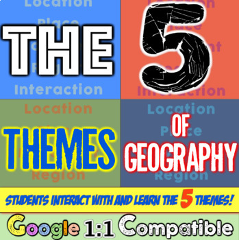
5 Themes of Geography Stations Activity | Five Themes of Geography Lesson
In this Five Themes of Geography stations and student activity, students analyze the five themes of geography (location, place, human-environment interaction, movement, and region) to understand how geographers study the world!This best-selling geography resource is included in the massive All Things Geography Bundle, as well as the American or the World History PLUS Curriculum!This lesson begins with students doing an introductory reading and activity on the five themes of geography. Then, stu
Grades:
5th - 9th
Types:
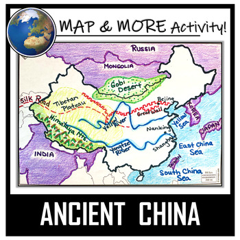
China Map Activity- Ancient China (Label and Color!)
This China Map Coloring & Labeling Activity is a great resource to enhance your unit! Each student will make their own, personalized map of the Chinese Empire, and learn about the geography and landmarks of the region. They will label and color their blank map, and answer follow-up questions related to the geography of China. A fun, 'Make a Travel Brochure' project has also been added. It's a great way of connecting your lesson on China to this map activity! In addition, this activity ha
Grades:
4th - 10th
Types:
CCSS:
Also included in: Ancient Civilizations / World Maps BUNDLE- Color & Label Activities!
Histagories Social Studies End of Year Activity for US and World History
In this history review and conversation game, students are engaged with 8 short lists of information where they work with partners (or individually) to try to come up with answers based on the letter for the round. Included is a letter-choosing paper (students flip a coin and see where it lands!) plus 8 different lists geared toward History, Geography, Geology, and Social Studies themes! A condensed worksheet is also included to save space.Enjoy this fun way to spend the first few (or last few
Subjects:
Grades:
5th - 8th
Types:
13 Colonies Regions New England, Middle, & Southern Colony Regions
In this 13 Colonies and Colony Regions activity, students compare the New England, Middle and Southern Colony Regions. Students read the included student-friendly article (either in a group, individually, or as a class), then fill in the details on the included graphic organizer. This serves as a great intro to the 13 Colonies, or as a great way to learn the varying characteristics of the New England, Middle, or Southern colony regions.This resource includes a paper in-class version and a 1:1
Grades:
5th - 8th
Types:
Introduction to Maps, Map Reading, Topography, and Geography Unit
In this maps skills and introduction to map reading, map features, and basic geography, students are introduced to the common elements that all maps have and a variety of different map styles, including climate maps, political maps, physical maps, road maps, topographic maps, and economic and resource maps! ✮✮ This resource is now Google 1:1 compatible! ✮✮Students first learn about map titles, keys, the compass, and the scale, then are engaged with learning about the variety of different maps
Grades:
4th - 7th
Types:
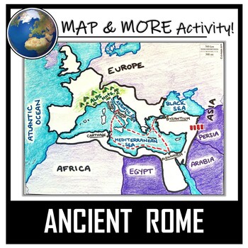
Ancient Rome Map Activity- Roman Empire (Label and Color!)
This Ancient Rome Map Coloring & Labeling Activity is a great resource to enhance your unit! Each student will make their own, personalized map of the Roman Empire, and learn about the geography and landmarks of the region. They will label and color their blank map, and answer follow-up questions related to the geography of Ancient Rome. A fun 'Make a Travel Brochure' project has also been added. It is a great way to connect this map activity to your lesson on Ancient Rome! A link to Goo
Grades:
4th - 11th
Types:
CCSS:
Also included in: Ancient Civilizations / World Maps BUNDLE- Color & Label Activities!
Geography Unit for Maps, 5 Themes of Geography, Map Reading, Latitude Longitude
In this Geography Unit bundle, you receive 12 hands-on, engaging, and effective resources to teach the 5 themes of geography, map reading, map skills, and geography. This geography bundle was created to teach the whole range of geography: students learn how to read all different kinds of maps (climate maps, thematic maps, road maps), the five themes of geography, how to read latitude and longitude, and the locations of places all over the world! This bundle is priced to save you over 20% inste
Grades:
5th - 8th
Types:
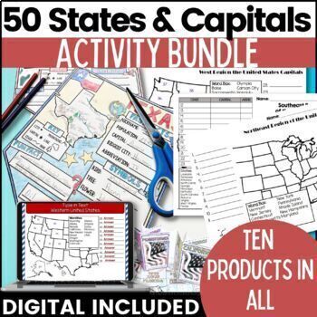
50 States and Capitals Bundle Map Print & Digital Resource 50% OFF
Everything you need (and more) to teach the 50 States and Capitals Help your upper elementary & middle school students learn the 5 regions of the United States with printable assessments and activities, digital Boom Cards, digital self correcting Easel assessments and Google map activities. This product will help you teach, review, and assess your students. You save 40% When you purchase all 10 products as a bundle!Bundle Includes:50 States and Capitals Test Printouts (includes Easel self co
Grades:
4th - 6th
Types:
Latitude and Longitude Worksheet | 3 Activities for Latitude Longitude
In this latitude and longitude student activity lesson, students are taught how the geographic coordinates of longitude and latitude are used and found. Students complete THREE different activities to build their skills with understanding latitude and longitude. First, students complete a short introductory reading with a short activity focused on the purpose and basics of latitude and longitude. Next, students complete a "Which City Is Located Here" activity, where they are given geographic c
Grades:
5th - 8th
Types:
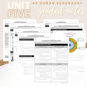
Unit 5: Student Guided Notes - AP Human Geography
Notes pages for CED topics 5.1-5.10 for Unit Five. *NOTE: THIS IS MISSING TOPICS 5.11 and 5.12*Use the guided notes to scaffold your Human Geography lectures or use the notes with my accompanying lecture slideshows! You can find slideshow lectures that correlate directly with EACH CED Topic for AP Human Geography Unit 5 here.Students can use as a study guide, you can assign for homework, or use with a self-guided lecture! You can assign this to be completed digitally for distance learning or pri
Grades:
9th - 12th
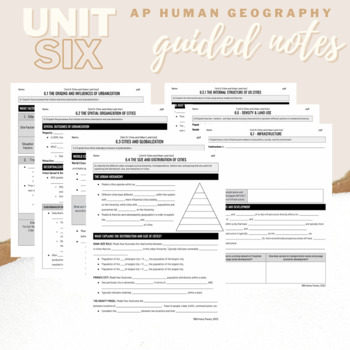
Unit 6: Student Guided Notes - AP Human Geography
Notes pages for each CED topic for Unit Six.Use the guided notes to scaffold your Human Geography lectures with my accompanying lecture slideshows! You can find slideshow lectures that correlate directly with EACH CED Topic for AP Human Geography Unit 6 here.Students can use as a study guide, you can assign for homework, or use with a self-guided or in-person lecture! You can assign this to be completed digitally for distance learning or print and have students complete hardcopy.So many uses!
Grades:
9th - 12th, Higher Education
Ancient China Geography | Learn Geography of China and Evaluate Statements
This Ancient China Geography lesson provides an engaging view into China's geography, environment, and how the environment determined peoples' way of life in Ancient China. Students engage with this resource by completing a guided graphic organizer as they read stations and handouts about several of China's geographic features. Students complete a map to learn about SEVEN geographic features around China's landscape, learn how these features have impacted life, and verify and debunk several (14
Subjects:
Grades:
5th - 8th
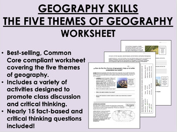
Geography Skills - The Five Themes of Geography worksheet
Geography Skills - The Five Themes of Geography worksheetBEST SELLER!AIM: How do the five themes of geography help us to better understand our world?Common core compliant worksheet that introduces students to the five themes of geography as a tool for understanding our world. Includes a variety of student-centered activities designed to promote critical thinking and class discussion. Topics covered in this worksheet include:The five themes of geography – location, place, human-environment intera
Grades:
7th - 12th
Types:
Also included in: 9th Grade Global/World History MEGA Bundle

Kente Cloth Designs and Meanings
Recently I did an "Art Around the World" Unit and fell in love with Kente Cloth from Ghana. My 3rd graders made Kente Cloth and we used this handout to create their pieces! There are 20 designs featured here and each design's meaning is included as well. Each design and color is full of meaning and symbolism. By the end of the project your students will have Kente Cloth full of meaning. This handout is simple and easy to read. I know your students will love it!
EmilyGlassSC@gmail.com
Subjects:
Grades:
2nd - 7th
Types:
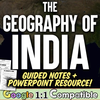
Ancient India Geography + Monsoons Lesson Guided Notes and PowerPoint Activity
In this Ancient India Geography notes and PowerPoint lesson activity, students learn about the geography, climate, and monsoons of modern and ancient India. First, students complete a two-page guided note worksheet with the included 18-slide PowerPoint presentation. A map activity is also included in the guided notes for students to locate and identify locations as the notes are completed. Next, students complete a close-reading assignment about a ship-wrecked sailor that shows the ancient Ind
Grades:
5th - 8th
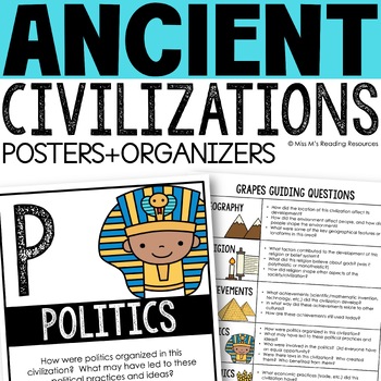
Ancient Civilizations GRAPES Posters Ancient Greece Ancient Rome Ancient China
Help your students learn and organize info about ancient civilizations with these G.R.A.P.E.S. posters, guiding questions, and graphic organizers! The GRAPES Ancient Civilizations Poster and Graphic Organizer Set is an easy acronym to organize information for the basic traits of ancient civilizations. G.R.A.P.E.S. is an acronym for:G- GeographyR- ReligionA- AchievementsP- PoliticsE- EconomicsS- Social StructureGRAPES is an effective way to learn and organize information about different civilizat
Grades:
6th - 8th

Regions of the United States: 5 Units Printable Bundle
Your students will learn about the Northeast, Southeast, Midwest, Southwest, and West regions of the United States with this bundle of five units.This unit includes printable options only. If you would like a digital option using Google Drive, check out my Five Regions of the United States Distance Learning Bundle with a Google Slides version of the reading text and questions, and a self-grading Google Forms version of the unit test, or get the bundle with both printable and digital options.This
Subjects:
Grades:
3rd - 5th
Types:
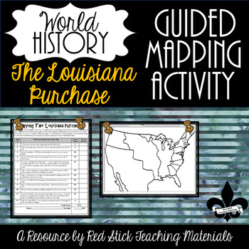
Mapping The Louisiana Purchase--No PREP!
This ready-to-use Mapping the Louisiana Purchase will give students a, 12-step guided mapping activity on the Louisiana Purchase. All students need to complete the assignment is n American History Textbook, Atlas, OR the internet. This is a great activity to leave with a substitute since it requires only a textbook, crayons, and no prep!Included is the 12-step Mapping the Louisiana Purchase handout and the time period-specific Map. The 12-step handout also serves as a grade sheet/checklist
Grades:
7th - 11th
Types:
Also included in: Guided Mapping Growing Bundle for Early American History--NO PREP!
Northwest Ordinance, Land Ordinance, the Northwest Territory, & the Common Core
In this Northwest Ordinance and Land Ordinance primary source analysis activity, students are introduced to the Land Ordinance of 1785, the Northwest Territory, and the Northwest Ordinance to understand their impact to US and American History.Students are engaged with a variety of pictures and text selections from both Ordinances. In keeping with the Common-Core, students are asked to be "close-readers" and pull out specific information from the text. Finally, at the end of each Ordinance, stu
Grades:
7th - 10th
Types:
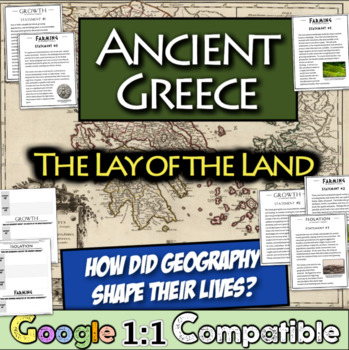
Ancient Greece Geography Gallery Stations | Greek Isolation, Farming, and Growth
In this engaging Ancient Greek Geography resource, students examine NINE statements across three overarching themes that were impacted by the Ancient Greek Geography: isolation, farming, and growth. For each statement, students focus on an overarching question and record relevant details on a graphic organizer matrix that are focused on the central question. Students learn about the impact of the mountainous landscape, their reliance on specialized farming, trade with others, colonies, and much
Subjects:
Grades:
5th - 8th
Types:
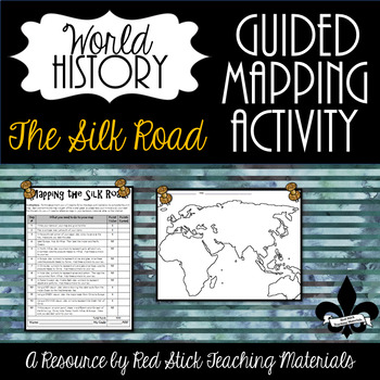
Mapping the Silk Road Activity--No PREP!
This ready-to-use Mapping The Silk Road Activity will give students a 10-step guided mapping activity. All students need to complete the assignment is a World History Textbook, Historical Atlas, OR the internet. This is a great activity to leave with a substitute since it requires only a textbook, crayons, and no prep!Included is the 10-step Mapping the Silk Road handout and a Map of Europe, Africa & Asia. The 10-step handout also serves as a grade sheet/checklist for easy grading and
Grades:
6th - 9th
Types:
Also included in: The Silk Road--Enrichment and Engagement Bundle
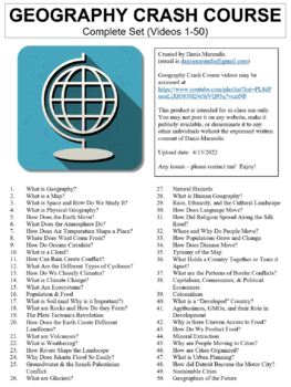
Crash Course Geography Worksheets Complete Set (Full Bundle Collection)
This ZIP file contains Microsoft Word document worksheets (along with PDF versions) for each of the fifty episodes of Crash Course Geography hosted by Alize Carrere.Worksheets contain a combination of fill-in-the-blank and short answer questions. Each worksheet is accompanied with an answer key and relevant images.By purchasing this file, you agree not to make it publicly available (on external websites, etc.) or to share with any other teachers. It is intended for classroom use only. You *are*
Subjects:
Grades:
9th - 12th, Higher Education
Types:
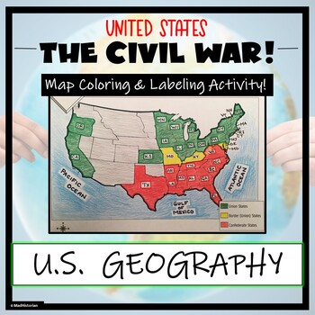
Civil War Map- Label and Color Activity!
This Civil War Map Activity is a great supplemental piece to a unit on the United States Civil War! Students will identify, label, and color the Union states, Border states, and Confederate states, and then color all three regions. Directions for labeling and coloring is provided. A completed and colored map is provided for reference, but this map can be completed using a textbook or online resource as well. This is a creative and engaging way of supplementing lessons on American History! The
Grades:
6th - 11th
Types:
CCSS:
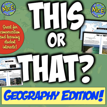
"This or That" Geography Edition | Back to School + Bellringer Resource!
In this "This or That" geography activity, students engage in five rounds and choose one of two options based on which environment, settings, or locations they prefer -- then students learn more about places around the world that they would enjoy! For example, would you choose "this" --> "You would prefer to visit a spot with many options of things to do."Or would you choose "that" --> "You would prefer a vacation that is simple and scenic."Then, depending on the option they chose, studen
Subjects:
Grades:
5th - 8th
Also included in: This or That Back to School Bundle | 3 Fun Activities to Start the Year!
Showing 1-24 of 3,981 results

