2,031 results
Middle school geography flash cards for homeschool
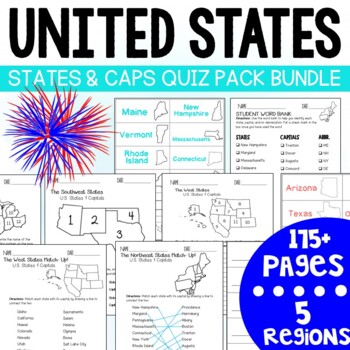
U.S. States and Capitals BIG Bundle-Quiz Packs AND Flash Cards
U.S. States and Capitals Quiz Pack- MEGA BUNDLE!Use this States and Capitals Mega Bundle Quiz Pack to test your students knowledge of the U.S. States and Capitals region by region! What's included in this BIG bundle of 11 resources?Northeast Region:Quiz Pack- 14 pages (7 testing options)Flash Card Printables - 18 Pages (4 options)Southeast Region:Quiz Pack- 14 pages (7 testing options)Flash Card Printables -18 pages (4 options) Midwest Region:Quiz Pack- 14 pages (7 testing options)Flash Card Pri
Subjects:
Grades:
3rd - 7th
Types:
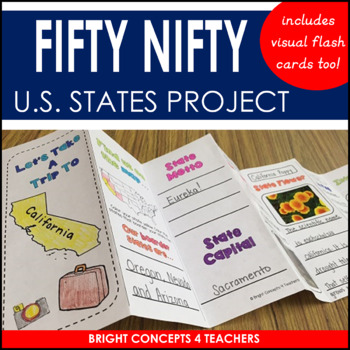
State Travel Brochure: State Project for Any U.S. State!
Are you looking for a fun and creative way to help your students learn about the 50 U.S. States? If so, look no further. These resources will help your students become experts about them. This unit includes the following:-Visual flash cards of all 50 states. The front of each card has a map of the United States with a highlighted state so they can see where it is on the map. The back, has the state name, capital, and outline of the state shape. These are great to help students study and memorize
Grades:
2nd - 6th
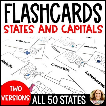
U.S. States and Capitals Flashcards with State Labels and Maps - Test Prep
Help your students learn all 50 states and capitals with this full set of printable flashcards! These are great study tools and can also be used for matching games or quiz-quiz-trade. To prepare for flashcard use, simply print the cards and fold them down the middle. You can also laminate a few sets and place them on rings to keep in your classroom for the years to come.You will receive a zip file with TWO SETS of flashcards.✅ Set 1 has the state colored in AND labeled for extra support✅ Set 2 h
Subjects:
Grades:
3rd - 6th
Types:
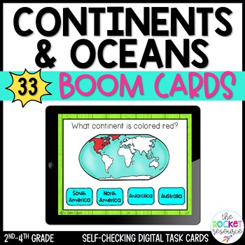
Label Continents and Oceans BOOM™ Cards | Continents and Oceans Activity
Your students will have a blast with these label the continents and oceans boom cards! This self-checking, engaging continents and oceans activity provides students with immediate feedback. Use cards as a review, in a learning center, as a quiz, or as a reteaching tool. BOOM cards can be used on interactive white boards, desktops, chrome books, laptops, iPads, iPhones, Kindle Fire, and more! BOOM card are perfect for center work, students needing extra practice (RTI groups), students who need mo
Subjects:
Grades:
2nd - 4th
Types:
Also included in: 7 Continents Printables | 5 Oceans | Ocean and Continent Quiz Boom Cards
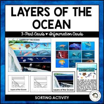
Layers of the Ocean Biome Montessori 3 Part Cards Student Blackline Worksheets
Explore the depths of the ocean with this comprehensive and engaging Montessori printable set! This Layers of the Ocean 3-Part Cards and Sorting Activities bundle includes:* A beautifully illustrated poster and animal cards for sorting and matching, featuring watercolor images of marine creatures* Two sets of 3-part cards, each with three zones (Sunlight Zone, Twilight Zone, and Midnight Zone) and five layers (Sunlight Zone, Twilight Zone, Midnight Zone, Abyss, and The Trenches) to help students
Subjects:
Grades:
K - 3rd
Also included in: Nature Curriculum in Cards Bundle
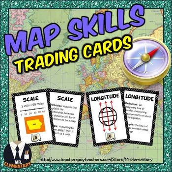
Map Skills Vocabulary Cards, Games, and Activities
Map Skills Vocabulary Trading Cards! This is a set of 24 map skills vocabulary cards that you can use to boost your students vocabulary when teaching geography. I created them to be used as flashcards or task cards and my students LOVE using them!
This Map Skills Vocabulary Set includes:
• 24 map skills vocabulary cards with the word and picture on the front and a definition and an example of how to use the word in a sentence on the back.
• The same 24 map skills vocabulary cards that can be us
Subjects:
Grades:
3rd - 6th
Early American History Anchor Charts Mega Bundle!
This is a mega bundle of anchor charts that will cover Early American History: Colonialism through Reconstruction, but they can be used by any American History teacher. This bundle currently contains 244 Anchor Charts. This is less than $.25 an anchor chart!Additionally, I am adding Black and White/Grey copies of many of the anchor charts. These are not new charts, but ones that will copy easy and cleanly for student handouts. This is a bonus file for bundle purchasesIf you are not intereste
Grades:
4th - 11th
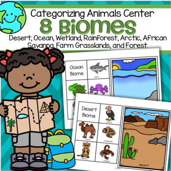
Biomes 8 Animal Habitats Sorting Center for Preschool and Kindergarten
This is a set of 8 biomes or habitats mats, each with 5 related animals to match to the mats.Biomes included are: desert, ocean, rainforest, African savanna, forest, arctic, grassland (farm), and wetland. Print on cardstock for longest use.Click on the PREVIEW link to see all pages.
Subjects:
Grades:
PreK - 1st
Ancient World History Anchor Charts--Growing Bundle!
This is a growing bundle of anchor charts that will cover World History: Early Man through the Renaissance This bundle currently contains more than 170 Anchor Charts. This Bundle was last updated on October 1, 2023If you are not interested in the growing bundle, each unit is sold separately in my TPT Store.There are many ways to incorporate Anchor Charts into the classroom. Teachers can project or print these anchor charts one to a page for a classroom reference tool or print 4 to a page to mak
Grades:
4th - 9th
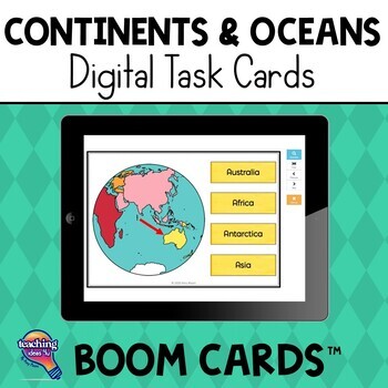
Continents & Oceans BOOM Cards Geography Review Activity
Continents & Oceans Boom Cards Review ActivityAre you looking for an independent digital activity to review the continents and oceans? Try Boom Cards! This Boom deck includes 32 different cards.The continents and oceans are shown in a variety of ways to help students learn to recognize them. They are shown:By their shape (continents).On a globe.On a map. This purchase will give you a PDF that will lead you to the Boom Learning platform. Boom cards are cloud-based digital resources. Boom Card
Subjects:
Grades:
1st - 3rd
Types:
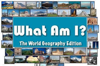
What Am I: The World Geography Edition (Classroom Trivia and Review Flash Cards)
What Am I: The World Geography Edition (Classroom Trivia and Review Flash Cards)This product can be found in the much larger "Who Am I: The Bundle!" which contains all 6 sets of "who am I" flash cards! Buy the bundle and it's like getting 2 sets for free! Who Am I: The Bundle! 6 Flash Card Editions in 1 Purchase! Save Big!------------------In the World Geography Edition of "What Am I", you will receive 50 "what am I" flash cards focused on the most notable geographic features - both natural
Grades:
4th - 12th
Types:
Latin American Countries and Capitals: Geography Activities and Games in Spanish
Latin American Geography for Kids IN SPANISH! Use these games, activities, and quizzes to teach your students the Spanish-speaking Latin American countries and capitals. I always use these at the beginning of the year with all levels of Spanish classes! It is so important for kids to be familiar with the countries were the Spanish language is spoken.
1) Label the map with Spanish-speaking Latin American countries. (with a word bank of countries in Spanish with accents, etc)
2) Label the map w
Subjects:
Grades:
6th - 12th, Adult Education
Types:
United States States and Capitals Flash Cards
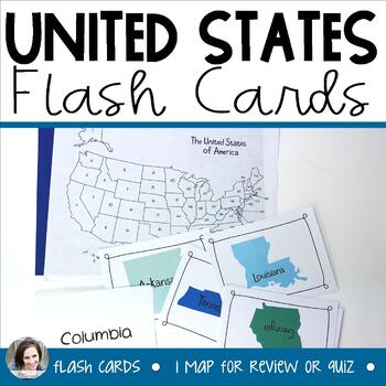
Do your students need help memorizing their states and capitals? This file contains 50 flash cards - one for each of the states and capitals. The front side has a picture of the state and the state name, while the back has the capital on it. These can be used for many different purposes to help students learn their states and capitals. Also included is a blank map of the entire United States with numbers on it to be used as a quiz of the states or capitals. It can also be laminated for the stude
Grades:
2nd - 5th
Geography Vocabulary Bundle
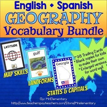
Geography Vocabulary Bundle! Make studying geography FUN in whole groups, partners, individually, or centers with meaningful, research based strategies! This is a pack of map skills, landforms and states and capitals geography cards. I made them to be used as flashcards or task cards. I originally created them to help my ELL students learn all of the vocabulary that comes with teaching geography and soon found out that all of my students LOVED to use them! Save $5.00 by buying this Geography
Subjects:
Grades:
3rd - 6th
States, Capitals, & Abbreviations Foldables {Interactive Notebook or Flashcards}
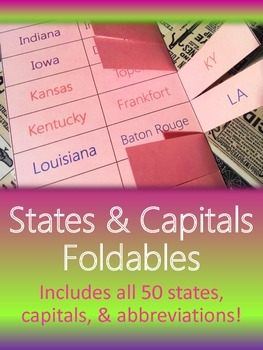
Help your students learn states, capitals, and abbreviations in a flash with this study guide that improves upon traditional states & capital flashcards! These foldables make fun and simple study center activities and great interactive study guides for homework practice. Give students all the states at once, or make it a game and challenge students to master the state/capital pages one by one, and watch how excited they get when they get to move on to the next foldable!
***This is part of
Grades:
3rd - 6th
Types:
The 5 Regions of the United States FLASHCARDS | Capitals, Abbreviations BUNDLE
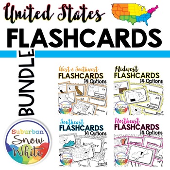
Differentiating the curriculum is something we want and need to do, but it is time-consuming. Happily, the work has been done for you here! You have 14 options to choose from, in both greyscale and color. Do your students only need to learn the states and where they fit on the map? Or do you want them to learn the abbreviations too? Maybe you only need to cover capitals. There are flashcards to suit every need. Just print and copy 2-sided.Additionally, the styles cater to different learning abil
Subjects:
Grades:
4th - 5th
Types:
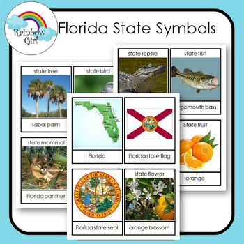
Florida State Symbols
There are 12 state symbols cards in this set. Although the state may have a lot more only 12 are featured.
1. Print first set and use as flash cards .
2. Print second set and use for matching word to picture.
3. Print both sets and use for matching picture to picture and word to word.
Vocabulary cards for special education, speech therapy, ESL/ELL programs, bulletin boards, centers and Montessori teaching. The cards are also great for generating discussions.
Subjects:
Grades:
K - 3rd
Also included in: State Symbols Bundle
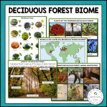
Deciduous Forest Biome Characteristics Animal Plant Adaptations
Immerse your students in the fascinating world of the Deciduous Forest Biome with this comprehensive printable learning set! This engaging resource is designed for Montessori students to learn about the temperate deciduous forest ecosystem, its characteristics, and the adaptations of animals and plants.Features:* 3-part cards featuring 12 animals and 6 plants native to the temperate deciduous forest* Information cards covering the deciduous forest biome, its location, layers, and regions* Readin
Subjects:
Grades:
K - 5th
Also included in: Nature Curriculum in Cards Bundle

50 States Flash Cards
Kids can master the 50 states with these handy flash cards.This product comes with printable flash cards in both full-color and black and white that have the state pictures on one side and the state names on the reverse. Also included are two pages of fun activities that utilize these flash cards. These cards are perfect for use in a home, homeschool, co-op, classroom, distance learning environment, or afterschool program.A NOTE BEFORE YOU BUY: If you already have or are purchasing the Learn the
Subjects:
Grades:
3rd - 6th
Types:
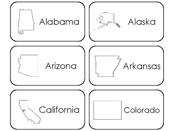
50 States Printable Flashcards. US Geography.
One of our 50 States educational game downloads in a PDF file.
Here is what you get!
50 States Printable Flashcards. Prints 6 cards per page on 9 pages total.
Designed by Teach At Daycare Handcrafted Curriculum, in Arkansas City KS.
Please see the other items in our store. If you have any questions please do not hesitate to send me an email.
Thank you for visiting.
Annette Sutherland
Grades:
PreK - 5th
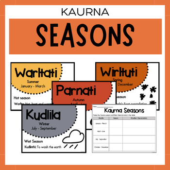
Kaurna Seasons | Australian Aboriginal Seasons Calendar & Worksheet
✏️ Celebrate the rich cultural heritage of the Kaurna Indigenous Aboriginal Australians with our Seasons Calendar & Worksheet! This comprehensive resource includes 5 display posters and a worksheet to help students learn about the traditional Kaurna seasons. With a link to the Indigenous Weather Map, this resource is an excellent tool to support teaching and learning about Indigenous culture and weather patterns.What's Included?5 Display PostersWorksheetThe information provided in this resou
Subjects:
Grades:
PreK - 12th
Types:
States and Capitals Northeast Region Flashcards and Match Game - Test Prep
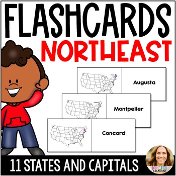
Help your students learn the 50 states and capitals with these printable flashcards for the Northeast region. One side shows the state within the United States to help with location, and the other side names the capital. Fold down the middle line for flashcards or cut them in half for a matching activity. Write the answers on the back for quiz-quiz-trade!States include Maine, Vermont, New Hampshire, New York, Massachusetts, Delaware, New Jersey, Maryland, Pennsylvania, Rhode Island, and Connecti
Subjects:
Grades:
3rd - 5th
Types:
States and Capitals Flashcards West Region and Match Game - Test Prep
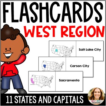
Help your students learn the 50 states and capitals with these printable flashcards for the Northeast region. One side shows the state within the United States to help with location, and the other side names the capital. Fold down the middle line for flashcards or cut them in half for a matching activity. Write the answers on the back for quiz-quiz-trade!States include California, Nevada, Utah, Washington, Oregon, Idaho, Colorado, Montana, Wyoming, Alaska, and Hawaii.Other States and Capitals Pr
Subjects:
Grades:
3rd - 5th
Types:
World Geography and Map Skills Set: Country Flashcards, Slideshows, and Quizzes
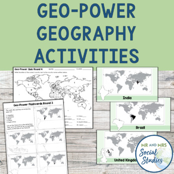
This Geography and Map Skills Bundle, also known as Geo-Power, is a proven system that increases students’ geographic awareness in a fun and meaningful way. This geography activity includes 16 pages of printable country flashcards, 16 slideshows (both PowerPoint and Google Slides) featuring the countries on the flashcards, and quizzes (with answer keys) that correspond to the country flashcards. The resources included in this no-prep and printable bundle are just what you need to teach your stud
Grades:
5th - 8th
Showing 1-24 of 2,031 results


