1,075 results
7th grade geography printables for Easel Activities
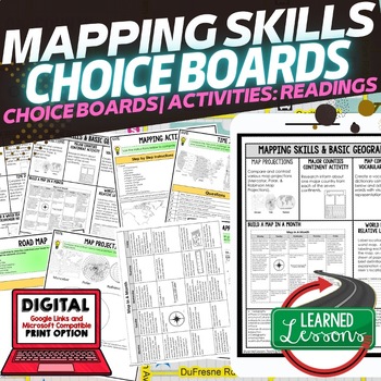
Geography Mapping Skills Activities, Geography Choice Board, Reading Passages
Mapping Skills and Basic Geography Choice Boards, Mapping Skills Readings Google Classroom, Print & Digital Learning provides differentiated activities to use with students to master the content. THIS IS ALSO PART OF SEVERAL BUNDLES World Geography MEGA BUNDLE AND World Geography Choice Board Activity BUNDLE AND Mapping Skills BUNDLE Choice Board Activities and Mapping Skills Readings Including the following: Mapping ActivityCartographerMap ScaleTypes of MapsTime ZonesRoad MapsLand and Wate
Grades:
7th - 12th
Types:
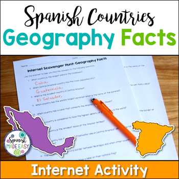
Spanish Countries Geography Facts Internet Scavenger Hunt
This is an internet scavenger hunt over geography facts of the Spanish-speaking world. This activity provides students with one geographical fact about each of the 21 Spanish-speaking countries. Students research each question online to find out which country is being described. The answers to this activity are the 21 Spanish-speaking countries. All the answers may be found online at www.wikipedia.org. Answer key is included.
Students may complete this activity using the internet in a computer
Subjects:
Grades:
6th - 12th
Types:
Also included in: Spanish Countries and Capitals Geography Bundle
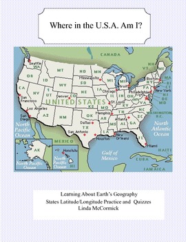
Latitude and Longitude Worksheets and Quizzes - U.S.A. Geography
This collection of worksheets and a printable map provide excellent lessons for learning latitude and longitude. • This package contains 9 pages. • A printable map with the necessary information to answer the questions regarding latitude and longitude.• Includes practice and two quizzes in the “Where Am I” format•Answer KeyThis lesson is google classroom ready.Please e-mail me with any questions about this resource or suggestions for future resources at: ljmccormick33@yahoo.com. If you are diss
Subjects:
Grades:
5th - 9th
Types:
Also included in: U.S.A. Geography- Bundle
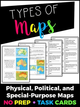
Types of Maps Task Cards
This product includes the following:- Teacher summary of each type of map- Cornell notes format of the types of map notes for students to record critical information- 12 Task cardsIMPORTANT: You will need Adobe Acrobat Reader in order to open and edit the file. You can download the software here.You are welcome to use this for classroom use, but this is not for commercial use. Click here to see more of my products!Thank you!Creative Classroom Activities :)Follow me on Instagram: creative.classro
Grades:
4th - 7th
Types:
Google Maps Activity Sheets ***UPDATED***
Activity Sheets for the Middle School students. Great fun solving problems using Google Maps(and Google Earth). Simple instructions but challenging activities.I have found that the students in my class need very little instruction to complete the tasks, so long as they understand the Google Maps tools.Google account is not required - just access to the Google Maps online.Table of Contents1. Creating a Travelling Distance Chart2. Solve the Riddle 3. A Different Type of Easter Egg 4. Fa
Subjects:
Grades:
5th - 7th
Types:
Also included in: Google Maps **VALUE BUNDLE**
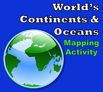
World Map - World's Continents & Oceans Mapping Activity
Map Activity – World’s Continents & OceansIn this activity, students must locate and identify the world’s continents and oceans. When students are finished with this, they may spend time coloring the various continents and oceans if so desired. This activity could also easily be used as an assessment piece as well (i.e. test, quiz, etc.) thus has multiple uses!Included in this package is a ready-to-copy blackline master world map along with a separate answer key.Preview file is available for
Subjects:
Grades:
3rd - 10th
Types:
Also included in: Map Activity Bundle
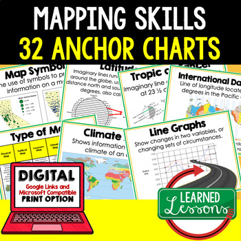
Mapping Skills Anchor Charts (World Geography Anchor Charts), Posters, Google
Mapping Skills Anchor Charts (Great as Bellringers, Word Walls, and Concept Boards), Mapping Skills Posters, Geography Review Pages, Digital Activity via Google Classroom This bundle will take your through the entire Geography curriculum. It will include all components of Geography. This is perfect for traveling around the world in style. THIS IS ALSO PART OF World Geography MEGA BUNDLE, Mapping Skills BUNDLE, Geography ANCHOR CHART BUNDLE Anchor charts are great for representing the topics
Grades:
6th - 12th

Christmas Cities in the USA Geography Map Activity Worksheets
Christmas Cities in the USA Geography Map Activity WorksheetThis United States Christmas map features cities whose names are associated with the holidays in some way. Students use a blank U.S. map to locate and label each city. Great to reinforce state names, regions, and writing proper nouns. Both the map and city checklist contain fun graphics which enhance the activity. An answer key is included.This activity is part of my Fun Christmas Language Arts Activities Bundle.I also
Grades:
2nd - 9th
Types:
Also included in: Christmas Language Arts Activities Webquests, Fact or Fiction, and More
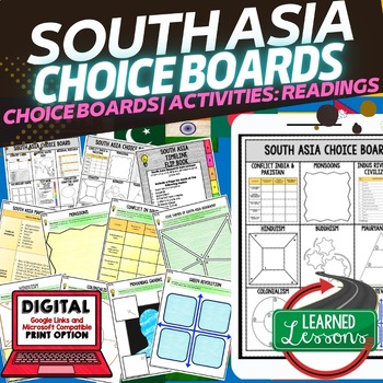
South Asia Activities, Choice Board, Google Geography, Distance Learning
World Geography South Asia Choice Board Activities (Paper and Google Drive Versions), Digital Distance Learning & PrintSOUTH ASIA GEOGRAPHY Activities, CHOICE BOARD, World Geography Graphic Organizers, World Geography Digital Interactive Notebook, World Geography Summer School, World Geography Google Activities THIS IS ALSO PART OF SEVERAL BUNDLES World Geography MEGA BUNDLEWorld Geography Choice Board Activity BUNDLEIncluded: 2 Choice Boards18 Activities60 Activity Pages (B/W and color) Pap
Grades:
7th - 12th
Types:
Also included in: World Geography Activities, Readings, Choice Boards, Geography Bundle
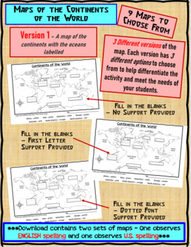
Maps of the Continents of the World For Students to Label and Colour/Color
This download contains 9 maps of the continents of the world (11 x 17 paper) to allow you differentiate your instruction to help meet needs of all students in your classroom as they learn to identify and locate the continents of the world. ***Please note that there are 2 sets of each of the 9 maps – one set observes English Spelling and one set observes U.S. spelling.***This download contains: 1. A map of the continents with the oceans labelled and the continents left blank for students to fill
Subjects:
Grades:
2nd - 7th, Adult Education
Types:
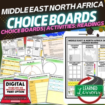
Middle East & North Africa (MENA) Activities, Choice Board, Print & Google
World Geography Middle East and North Africa (MENA) Choice Board Activities (Paper and Google Drive Versions), Digital Distance Learning & PrintMIDDLE EAST and NORTH AFRICA GEOGRAPHY, CHOICE BOARD, World Geography Graphic Organizers, World Geography Digital Interactive Notebook, World Geography Summer School, World Geography Google Activities THIS IS ALSO PART OF SEVERAL BUNDLES World Geography MEGA BUNDLEWorld Geography Choice Board Activity BUNDLEMENA BUNDLE Included2 Choice Boards18 Activ
Grades:
7th - 12th
Types:
Also included in: Middle East and North Africa MENA BUNDLE (World Geography Bundle)
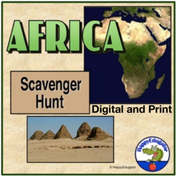
Africa Scavenger Hunt with Internet Task Cards Digital and Printable
Africa Scavenger Hunt and Internet Task Cards. A geography scavenger hunt of the continent of Africa. Fill-in-the-blank. Reflects current African geography of the continent. Students can also explore the different regions using the internet to research answers. Includes 2 scavenger hunts. Students will need a map and will have to use their map skills to answer the questions. (several included to support the activity) Also includes 30 internet task cards and a recording sheet for students to res
Grades:
4th - 7th
Types:
CCSS:
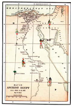
Latitude Longitude Worksheets and an Ancient Egyptian Map -Geography
This resource is a two worksheet lesson on latitude and longitude using a map of Ancient Egypt. It provides map reading practice as well as background information on Ancient Egypt. There is a Key provided. Good geography practice for all middle school students.This lesson is google classroom ready.Please e-mail me with any questions about this resource or suggestions for future resources at: ljmccormick33@yahoo.com. If you are dissatisfied in any way, please contact me right away by email or
Grades:
5th - 9th
Types:
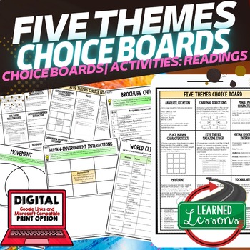
Five Themes of Geography Activities, Choice Board, Print & Digital, Google
Geography Five Themes Choice Board Activity Pages, Google Classroom, Print & Digital Distance LearningWorld Geography Graphic Organizers, World Geography Digital Interactive Notebook, World Geography Summer School, World Geography Google Activities THIS IS ALSO PART OF SEVERAL BUNDLES -World Geography MEGA BUNDLE-World Geography Choice Board Activity BUNDLE-Five Themes BUNDLE Includes: 2 pages of choices--15 Activities55 Activity Pages (1/2 Black/White and 1/2 Color) Paper and Link for Googl
Grades:
6th - 12th
Types:
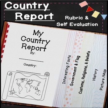
Country Research Projects Template | Countries Around the World | Country Report
Make learning about other countries exciting with this easy to use country report! Students will explore other cultures around the world with these open-ended research pages and create a 6 page flip book country research project. I've included directions, country report blacklines, a country report rubric, and a student self evaluation. Everything you need to teach and organize country reports is included in this time-saving unit!✅ What's included: ✅interesting factsgovernment and the flagcustom
Subjects:
Grades:
4th - 7th
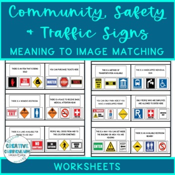
Community, Safety & Traffic Signs Sign Definition to Image Matching Worksheets
For this community instruction based lesson, students are presented with varying community, traffic, or safety signs visually/in word form. Students will work on their functional vocabulary skills by identifying the sign's name and image. Students are asked to review the provided sign meaning or definition and match it to its image, out of an array of three. Students will work on identifying sign based vocabulary words, reading signs, defining signs/understandings purpose and more!There are 15 w
Subjects:
Grades:
1st - 12th, Higher Education, Adult Education
Types:
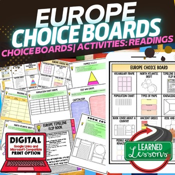
World Geography EUROPE Activities Choice Board, Digital Distance Learning
World Geography EUROPE Choice Board Activities (Paper and Google Drive Versions), Digital Distance Learning & PrintWorld Geography Activities Graphic Organizers, World Geography Digital Interactive Notebook, World Geography Summer School, World Geography Google Activities THIS IS ALSO PART OF SEVERAL BUNDLES -World Geography MEGA BUNDLE-World Geography Choice Board Activity BUNDLE-Europe BUNDLE Includes: 2 Choice Boards24 Activities80 Activity Pages (B/W and color) Paper and Link for Google
Grades:
6th - 12th
Types:
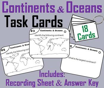
Continents and Oceans Task Cards Activity (World Geography Unit: Map Skills)
These task cards are a great way for students to practice their skills with identifying the continents and oceans.In this activity students are to identify each of the seven continents and five oceans as shown within a map of the world. Other questions are included such as: what continent is the largest?If you enjoyed this product, check out my other Task Cards for Social Studies:Important: All the Task Cards below are in my: Social Studies Bundle (50% OFF!)United States History: Get all 39 (3
Grades:
3rd - 11th
Types:

National Parks Word Search Puzzle Activity - National Parks Week Project
Your students will love this National Parks of the United States word search. Including all 63 national parks, this is a no-prep activity that can be used as a regular assignment, morning work, centers, an early-finisher activity, and more. Looking for the names of the parks in the puzzle helps reinforce them for memorization, increases familiarity with the diversity of national parks in the U.S., and encourages proper spelling. You can adjust the activity by having students find the geographic
Grades:
4th - 7th
Types:
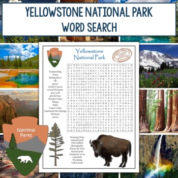
Yellowstone National Park Word Search
Your students will love this Yellowstone National Park word search. This is a no-prep activity that can be used as a regular assignment, morning work, centers, an early-finisher activity, and more. Looking for the 26 terms in the puzzle helps reinforce them for memorization, increases familiarity with the main features of Yellowstone, and encourages proper spelling. Both color and black and white versions of the puzzle, as well as an answer key, are included. The word search includes the followi
Grades:
3rd - 7th
Types:
Also included in: Yellowstone National Park Graphic Organizer and Word Search Bundle
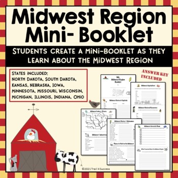
Midwest Region Unit Worksheets Mini Book Research Project
Midwest Region Unit Worksheets Mini Book Research ProjectThis Midwest region mini unit consists of 10 half page worksheets that students complete and assemble as a mini-book. The worksheets also be used as part of an interactive notebook about the Midwest region. Students staple the pages together once they have completed all of their information about the Midwest region. The pages include:A Midwest Region cover pageStates and Capitals of the Midwest regionA map of the Midwest Region (stud
Grades:
2nd - 8th
Types:
Also included in: US Regions Unit Mini Booklets Worksheets All Five Regions Bundle
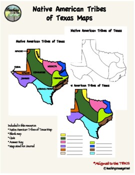
Native Tribes of Texas Maps
Colorful Map of the Native Tribes of Texas. Use with Texas History Unit 2; Natural Texas and Its People. Includes colored and labeled map as well as blank maps for student learning. One version for students to label and color and one version that is already colored for students to label. Can also be used as a quiz. Answer key included. Perfect for Interactive Notebooks. Aligned with the TEKS. Additional resources:Tribes of Texas Task CardsNative Tribes of Texas QuizTexas Regions Maps Follow me
Grades:
4th - 7th
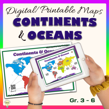
Continents and Oceans World Maps Poster Digital & Printable Handouts+ Boom Cards
"Continents and Oceans" is a set of digital and printable world maps and the individual continent maps: Europe, Asia, Africa, Australia, North America, South America, and Antarctica maps. It is perfect for traditional classroom settings, 1:1 schools, or distance learning in your Science and/ or Social Studies classrooms. These diverse maps are an excellent way to supplement your existing Science and/ or Social Studies curriculum. In no way it is intended or designed to replace it. It is about gi
Subjects:
Grades:
1st - 12th
Types:
Also included in: Social Studies United States Geography US History Growing BUNDLE
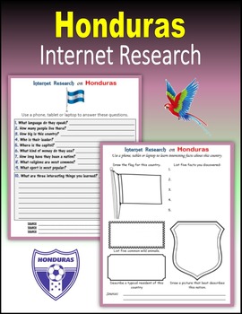
Honduras - Internet Research Activities
24 printable or digital pages to engage your students in Internet Research on Honduras. Students use a phone, tablet or laptop to search online about the people of Honduras: language,customs,flag,stamps,coat of arms,money (coins and currency),biggest mountains,major rivers and lakes,wild animals,history,national anthem,capitolsize (population and land),most popular sports,and more...PRINT: I created a PDF version that you can download on your computer and print for students to use in class or a
Grades:
4th - 10th
Also included in: Central America Internet Research BUNDLE
Showing 1-24 of 1,075 results


