1,823 results
Not grade specific Martin Luther King Day geography resources for Google Apps

La Comida Explore Food in Spanish-Speaking Countries Virtual Field Trip ENGLISH
Need Spanish 1 sub plans or an activity for your Spanish food unit? This virtual field trip is great for your novice and exploratory Spanish classes to explore Spanish culture and food!The readings are in English and explore a variety of countries and foods. Each reading includes the food's name, and some background . The videos linked are a mix of Spanish and English. Great for novices or introducing your students to a variety of foods in the Spanish-speaking world!Please click here to save 20%
Subjects:
Grades:
Not Grade Specific
Types:
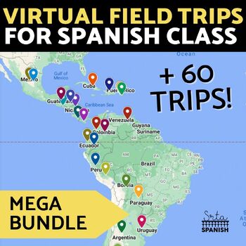
Virtual Field Trip Interactive Map Spanish Culture and Geography Activity BUNDLE
Let your students explore geography around the world! Content is discovered via interactive Google Maps through images, short readings, and videos! Time saver for you and engaging for students! Use this resource if you have devices in your classroom!Each resource includes an interactive map with short readings, and images or videos to help them explore content and geography at the same time! RESOURCES INCLUDED:❁ CountriesArgentina Digital Activities In EnglishArgentina Digital Activities in Span
Subjects:
Grades:
Not Grade Specific
Types:
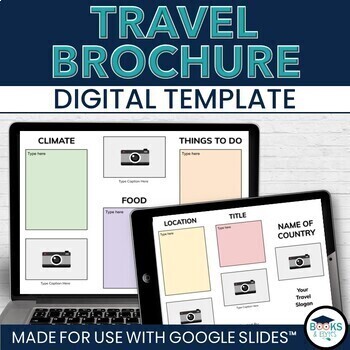
Travel Brochure Digital Research & Vacation Writing Template - Google Slides™
Design eye-catching digital travel brochures with your students to showcase country, city or location research! This editable, two-sided template for Google Slides™ makes it easy to add informational text and photographs. Heading ideas are included to guide student research. Simply share the template through Google Drive or Google Classroom, complete and print double-sided. Looking for more? Check out the bundle! ⭐ Travel Writing Digital Templates: Brochure, Planner, Journal - Google Slides™What
Grades:
Not Grade Specific
Types:
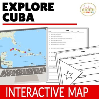
Cuba Virtual Field Trip Digital Map Activities ENGLISH ONLY
Let your students explore geography around the world! Content is discovered via an interactive Google Map through images, short readings, and videos! Time saver for you and engaging for students!Content, questions, and graphic organizer are in ENGLISH and explore geography and culture to help them learn about the beautiful country of CUBA! ❁ Click here to save 20% in a bundle! ❁INCLUDED:Map in EnglishWorksheet and Graphic Organizer in EnglishStudent pages in Google SlidesTeacher's NotesAnswer
Subjects:
Grades:
Not Grade Specific
Types:
Seven Natural Wonders of the the World Virtual Field Trip Bundle (Google Earth)
This virtual field trip bundle is a great way to infuse technology, spark curiosity, as students learn about the Seven Natural Wonders of the World. These virtual field trips combine Google Earth™ 360-degree views, informational text, video, visuals, and response questions to present information in a meaningful and interactive way.This bundle includes two versions. Both are set up with Google Slides access. The upper elementary version includes a one-page reading passage for each destination and
Subjects:
Grades:
Not Grade Specific
Types:
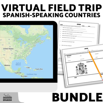
Spanish Speaking Countries Virtual Field Trip Exploratory Spanish Activities
Let your students explore history, geography, and cultural traditions around the world! Content is discovered via an interactive Google Map through images, short readings, and videos! Time saver for you and engaging for students!Students read, watch, and explore using the Google Map, then record information on the graphic organizer and answer comprehension questions. This activity is great for reinforcing geography while learning about culture! It would also be a great sub plan.Included Resource
Subjects:
Grades:
Not Grade Specific
Types:
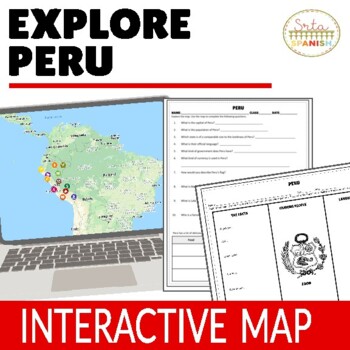
Culture Lesson for Peru Virtual Field Trip Digital Map Activities ENGLISH ONLY
Let your students explore geography around the world! Content is discovered via an interactive Google Map through images, short readings, and videos! Time saver for you and engaging for students!Content, questions, and graphic organizer are in ENGLISH and explore geography and culture to help them learn about the beautiful country of PERU! ❁ Click here to save 20% in a bundle! ❁INCLUDED:Map in EnglishWorksheet and Graphic Organizer in EnglishStudent pages in Google SlidesTeacher's NotesAnswer
Subjects:
Grades:
Not Grade Specific
Types:
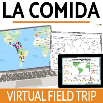
La Comida Food in Spanish Speaking Countries Virtual Field Trip SPANISH
Let your students explore food and culture around the world! Content is discovered via an online interactive Google Map through images, readings, and videos! Time saver for you and engaging for students!The readings are in Spanish and explore a variety of countries and foods. Each reading includes the food's name, and some background . The videos linked are a mix of Spanish and English. Great for novices or introducing your students to a variety of foods in the Spanish-speaking world!Please clic
Subjects:
Grades:
Not Grade Specific
Types:
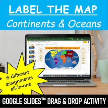
Label the Map - Continents and Oceans | Google Slides™ Drag & Drop Activity
Let your students have fun labeling Earth’s 7 continents and 5 oceans with this interactive mapping Google Slides™ Drag & Drop Activity. The digital resource comes with 6 different assignments all-in-one, as well as two different color schemes. The activity is designed for Google Classroom users, but can ALSO be downloaded, printed and used as a handout in the classroom. Pick and choose what best serves your classroom. Click HERE if you want a cut and paste version of the same activity with
Subjects:
Grades:
Not Grade Specific
Types:
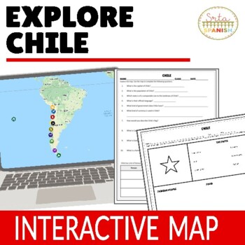
Chile Virtual Field Trip Geography and Culture Activities ENGLISH ONLY
Let your students explore geography around the world! Content is discovered via an interactive Google Map through images, short readings, and videos! Time saver for you and engaging for students!Content, questions, and graphic organizer are in ENGLISH and explore geography and culture to help them learn about the beautiful country of CHILE! ❁ Click here to save 20% in a bundle! ❁INCLUDED:Map in EnglishWorksheet and Graphic Organizer in EnglishStudent pages in Google SlidesTeacher's NotesAnswer
Subjects:
Grades:
Not Grade Specific
Types:
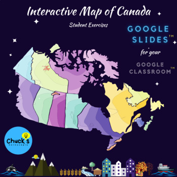
Distance Learning - Interactive Map of Canada on Google Slides™ - Drag and Drop
This is a fully, interactive map of Canada resource that your students will love to complete. Big, bright, and bold pages to attract students and keep their interest. Easy drag and drop technology is used to make this work easy to complete. Some fill-in-the text boxes as well to ensure some typing and spelling for students.All on Google Slides™ to incorporate with your Google Classroom™ or on technology within the classroom when we return to school. This can be used on computers or tablets.H
Grades:
Not Grade Specific
Types:
US Rivers, Mountains, & Physical Features Digital Activity for distance learning
This resource includes a 20 page slideshow (in Google Slides) with a variety of sorting on the map activities for:✸Major US Rivers & Mountains Featuring: St. Lawrence RiverOhio RiverMississippi RiverColorado RiverHudson RiverRio Grande RiverAppalachian MountainsRocky Mountains✸US Physical Features/Landforms Featuring:Great LakesGreat BasinGreat PlainsGulf of MexicoAtlantic Coastal PlainContinental DivideCorrelates with GA third and fourth grade GSE standards but generic for any state and mos
Subjects:
Grades:
Not Grade Specific
Types:
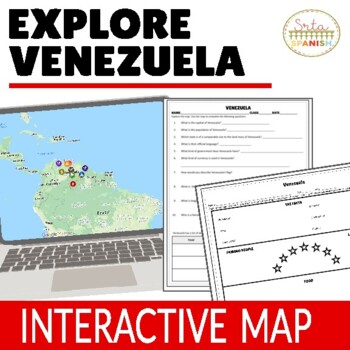
Venezuela Virtual Field Trip Digital Map Activities ENGLISH ONLY
Let your students explore geography around the world! Content is discovered via an interactive Google Map through images, short readings, and videos! Time saver for you and engaging for students!Content, questions, and graphic organizer are in ENGLISH and explore geography and culture to help them learn about the beautiful country of VENEZUELA! ❁ Click here to save 20% in a bundle! ❁INCLUDED:Map in EnglishWorksheet and Graphic Organizer in EnglishStudent pages in Google SlidesTeacher's NotesAn
Subjects:
Grades:
Not Grade Specific
Types:

Martin King Black History Keyboarding Practice Fun Typing Computer Apps Activity
This fun keyboarding practice digital lesson is great practice to increase speed and accuracy and also incorporates an engaging history lesson about Dr. Martin Luther King Jr. ⭐Great for MLK Day in January or Black History Month in February⭐✅I use these digital resources in my Computer Application Classes for early finishers, before a holiday break, between projects, during state testing when 1/2 the class is missing or for SUB DAYS! Some teachers have told me they use them with their ESL stud
Grades:
Not Grade Specific
Types:
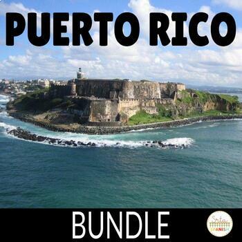
Puerto Rico Activity Bundle for Spanish Class
Let your students discover Puerto Rico through these cultural resources!These activities are great to spread out through a unit on Puerto Rico, or use with different levels as you explore the country! There is a webquest for students to discover information on their own, a cultural reading activity, and an interactive map for students to read, watch, and see images to learn more about Puerto Rico!Included Resources:❁ Puerto Rico Webquest Activity❁ Puerto Rico Cultural Reading Activity El Yunque❁
Subjects:
Grades:
Not Grade Specific
Types:
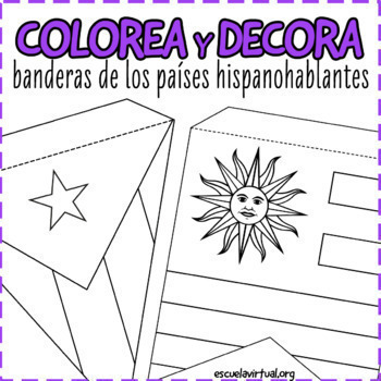
22 Flags Bunting - Spanish Speaking Countries - Coloring Activity & Class Decor
Decorate your classroom with these fun flag buntings! Perfect for any level, these three sets can be used to introduce Hispanic Heritage Month or as an extension activity to Spanish Speaking Country studies. It is appropriate for both middle and high school.You will receive:1) Horizontal, US paper-sized flag set 2 Two bunting sets: triangle and square. Each flag comes with a dotted line so students know where to fold the bunting.Measurements in inches:Flag set 1 (coloring set): 9.7 x 5.7 inFlag
Subjects:
Grades:
Not Grade Specific
Also included in: BUNDLE Spanish Speaking Countries Activities for HHM and cultura diaria
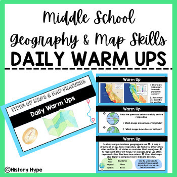
Geography & Map Skills DAILY WARM UPS
3 WEEKS WORTH OF DAILY WARM UPS!This 32-page file is the perfect way to begin your Social Studies class every day. The students come in, open up their notebooks, and answer the daily question(s). I also use this file to review for final exams and the BIG state test at the end of the year.The warm up slides feature geography based questions including types of maps, map features, and map skills. This file also includes an answer key slide for each day. This resource would best be suited for 4th-8t
Grades:
Not Grade Specific
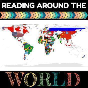
World Culture Reading Log: Reading Around the World
Teach world culture and diversity through this alternative to a reading log. Great for digital learning! Students set reading goals as a class and then travel on a virtual field trip to another country once they meet those goals! This resource can be used for:School Librarians wanting to get the school excited about reading and united in a common goalTeachers and grade-level teams wanting to motivate students to read.Use this as a contest/race between grade levelsUse this as a reward/incentives
Subjects:
Grades:
Not Grade Specific
Types:
Also included in: Culture & Geography Reading Log BUNDLE
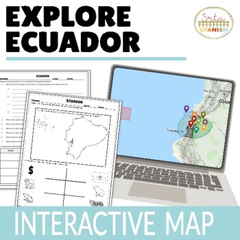
Ecuador Digital Activities ENGLISH ONLY
Let your students explore geography around the world! Content is discovered via an interactive Google Map through images, short readings, and videos! Time saver for you and engaging for students!Content, questions, and graphic organizer are in ENGLISH and explore geography and biodiversity to help them learn about the beautiful country of Ecuador! ❁ Click here to see the Spanish version of this resource! ❁❁ Click here to see the Spanish AND English version of this resource! ❁INCLUDED:Map in En
Subjects:
Grades:
Not Grade Specific
Types:
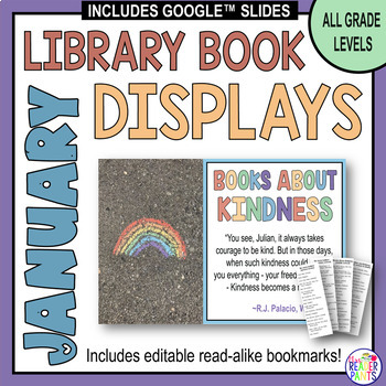
January Library Display Posters - All Grade Levels - Book Displays
Chase away the winter blahs with these colorful January Library Display Posters! This set of 21 library display posters contains all you need to SAVE TIME and show off your school or public library's best books and themes for January. Includes editable readalike bookmarks.Save 20% when you buy the full-year bundle! Seriously, all your display ideas, signs, and giveaway bookmarks will be DONE for the entire school year!***UPDATED FOR 2024 on December 15, 2023!*** This is a large file; please allo
Grades:
Not Grade Specific
Types:
Also included in: January Library Lessons and Activities - January Library Lessons BUNDLE
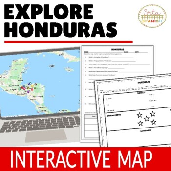
Honduras Virtual Field Trip Digital Map Activities ENGLISH ONLY
Let your students explore geography around the world! Content is discovered via an interactive Google Map through images, short readings, and videos! Time saver for you and engaging for students!Content, questions, and graphic organizer are in ENGLISH and explore geography and culture to help them learn about the beautiful country of HONDURAS! ❁ Click here to save 20% in a bundle! ❁INCLUDED:Map in EnglishWorksheet and Graphic Organizer in EnglishStudent pages in Google SlidesTeacher's NotesAns
Subjects:
Grades:
Not Grade Specific
Types:
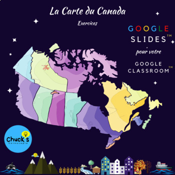
French Map of Canada - Carte Interactive du Canada -pour votre Google Classroom™
Bonjour!Please understand that this is a FRENCH - language resource!This is a fully, interactive map of Canada resource that your students will love to complete. Big, bright, and bold pages to attract students and keep their interest. Easy drag and drop technology is used to make this work easy to complete. Some fill-in-the text boxes as well toensure some typing and spelling for students.All on Google Slides™ to incorporate with your Google Classroom™ or on technology within the classroom when
Grades:
Not Grade Specific
Types:
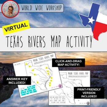
Virtual Texas Rivers Map Activity (Print Version Included)
Hello, educators! Welcome to the Virtual Texas Rivers Map Activity! This activity is the first of its kind on this site . . . it's a fun click-and-drag Texas History and Geography activity that's perfect for hybrid, in-person, and virtual learning! Make it a game with partners or groups for a fun challenge! Make social studies come alive for your students with this unique click-and-drag activity! Printer friendly version available as well as keys for the map!This was made with Google Slides and
Grades:
Not Grade Specific
Types:
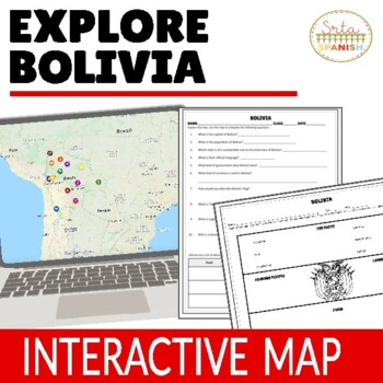
Bolivia Virtual Field Trip Digital Map Activities ENGLISH ONLY
Let your students explore geography around the world! Content is discovered via an interactive Google Map through images, short readings, and videos! Time saver for you and engaging for students!Content, questions, and graphic organizer are in ENGLISH and explore geography and culture to help them learn about the beautiful country of BOLIVIA! ❁ Click here to save 20% in a bundle! ❁INCLUDED:Map in EnglishWorksheet and Graphic Organizer in EnglishStudent pages in Google SlidesTeacher's NotesAnsw
Subjects:
Grades:
Not Grade Specific
Types:
Showing 1-24 of 1,823 results


