57,000+ results
Middle school study skills geography resources under $5
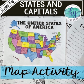
50 States and Capitals Map Activity with printable worksheets & digital map game
Do your students need to know the state capitals and the location of each state on a map? This engaging map set for the 50 states and their capitals will guide your students through labeling a blank map and learning the capitals. Print and digital options plus access to online self-checking map and flashcards let you easily customize the lesson to best fit the needs of your students. Students will label a blank map of the United States with the names of the 50 states and then record the capital
Subjects:
Grades:
4th - 10th
Types:
Also included in: American History Map Activities Bundle for U.S. History Units & Lessons
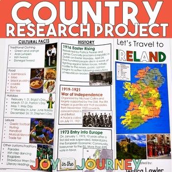
Country Research Project (Print & Digital)
Send your students on a world-wide tour with this print-and-go Country Research Travel Brochure Project! This fun and engaging project includes everything you need to assign the travel brochure, stay organized, guide the students in their research, and assess the final projectDownload includes:Brochure Sample Country Research Project Instructions“My Country Choices” – 4 per page (give one to each student)Student Country Choices Tracking SheetTravel Brochure Layout DirectionsResearch Log Student
Grades:
4th - 6th
Types:
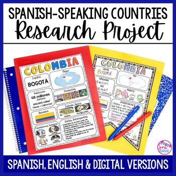
Spanish Speaking Countries Project Research a Country with Google Slides Digital
This Spanish-Speaking country project is an organized and efficient way for students to research Spanish-speaking countries. The templates are in both English and Spanish and can be completed digitally or handwritten. Includes digital templates for PowerPoint and Google Slides.*can easily be adapted for other languages, geography, or social studies classesThis project to create an infographic for a country includes:-Templates in 3 different designs-English templates-Spanish templates-Completed
Subjects:
Grades:
6th - 12th
Types:
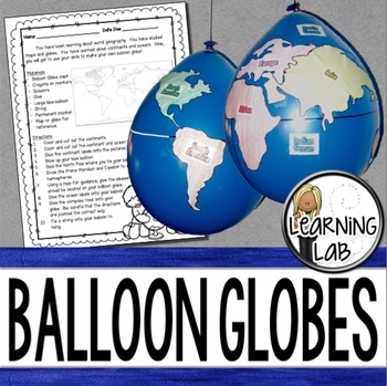
Geography - Balloon Globes - World Maps
World Geography can be boring for students but you can make it FUN! Your kiddos will LOVE creating their own globe using a balloon and cut-outs.This set includes: Student materials list and directions, detailed continent shapes, more broad continent shapes (easier cutting), compass graphic, continent labels, ocean labels, North Pole labels, reference map of the world. Balloon Suggestion (affiliate link): 12"latex balloons (100 count), Royal BlueDon't want to use a balloon? Some teachers hav
Subjects:
Grades:
3rd - 6th
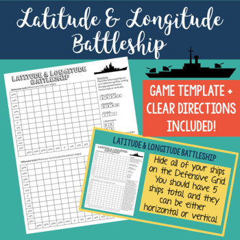
Latitude and Longitude Battleship Game - Map Skills - Fun Geography Activities
Help your students practice their latitude and longitude skills in a fun and engaging way using this no-prep latitude and longitude battleship game! The directions are included right on the template, so this is a no prep activity that comes ready to play. I've also provided PowerPoint directions so you can show students how to play as a class. Students will become well-practiced with using a grid and making sure they always give latitude coordinates first. I've used this every year and my studen
Grades:
4th - 8th
Types:
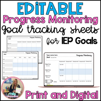
Progress Monitoring Editable IEP Goal Tracking sheets for Special Education
*BEST SELLER* GOOGLE version included! Are you in need of new goal tracking sheets for monitoring your students progress on their IEP goals? It can be a challenge to find the best way to monitor IEP goals. Included in this purchase are seven forms that you can use to keep track of student progress. These forms are great for social, daily living and behavior goals as you can track up to 5 different trials of the behavior or skill. The second tracking sheet would work well for monitoring progress
Grades:
PreK - 12th, Higher Education, Adult Education, Staff
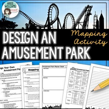
Map Skills Mapping - Design Your Own Amusement Park
Review the basics of mapping with this fun and engaging activity! Using map skills learned in class, students must design a map of their own amusement park and include mapping elements such as scale, a legend, symbols, and more! They must also write about and explain their "best" or most amazing ride. This activity has always been one of my students' favorite projects! It's a fun and unique way to wrap up a mapping unit or a fun project for social studies!I encourage the students to pick a them
Subjects:
Grades:
6th - 9th
Types:
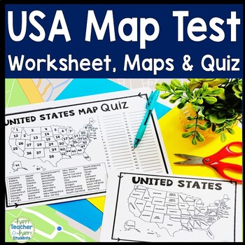
United States Map Quiz & Worksheet, USA Map Test w/ Practice Sheet, US Map Quiz
United States Map Test: Easy-to-read US Map Quiz and Practice Sheet will help students learn to correctly identify and locate all 50 states. This product also includes a labeled USA Map in full & half-page design and blank USA map for practice. Learning how to correctly identify all 50 states on a map of the United States is a critical skill for students of all ages.US Map Quiz (US Map Test) is ready to print-and-go to test knowledge of the USA Map and 50 states. This map of the United State
Grades:
2nd - 8th
Types:
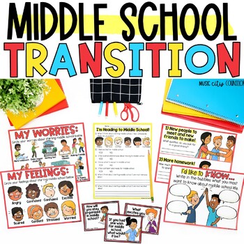
Middle School Transition Lesson, Activities, & Workbook, Middle School Ready
Ease your students' transition to middle school with this engaging lesson! Students explore their feelings and worries about starting middle school, learn helpful tips for success, and set S.M.A.R.T Goals to build their confidence and start this journey off strong! ✅ A digital for Google Slides™ presentation, a PowerPoint presentation, a printable workbook, and other printable materials are all included!⭐ The Digital for Google Slides™ Resource:✅ Was designed for distance learning or in-person
Grades:
4th - 6th
Types:
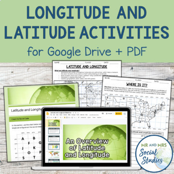
Latitude and Longitude Fun Activities and Practice Worksheet | Google Slideshow
If you are looking for a creative and no-prep resource to teach about latitude and longitude, look no further! This printable and digital activity includes an editable Google Slideshow to teach your students about latitude and longitude, and three different practice activities, giving your students the chance to decode secret messages, figure out mystery locations on a world map, and determine the coordinates of various US states.This resource goes beyond traditional longitude and latitude works
Grades:
5th - 8th
Types:
How to Study for a Test - Doodle Notes - Study Skills Sketchnotes
We tell our students to study for tests all the time, but often we forget to teach them HOW to actually study for exams! That’s where this Study Skills resource comes in. It’s designed to give students practical tips and tricks for studying for tests in ELA or any class! With this resource students will complete fun doodle notes (or sketch notes) and then rotate through fun learning stations.This Study Skills resource is designed to help students develop skills for studying for tests. First,
Subjects:
Grades:
5th - 8th
Types:
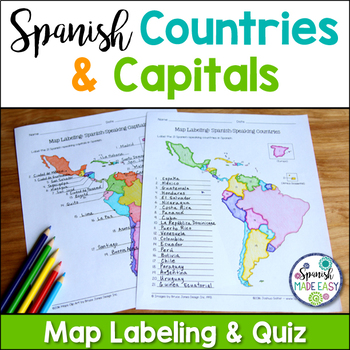
Spanish-Speaking Countries and Capitals Maps and Quiz
This is a map labeling activity and matching quiz over the 21 Spanish-speaking countries and capitals. Students will label and identify the 21 Spanish-speaking countries and capitals in Spanish. This is a great activity when reviewing Spanish-speaking countries and capitals or Spanish geography. Makes a great coloring page. Answer keys are included.
Countries included:
España, México, Costa Rica, El Salvador, Guatemala, Honduras, Nicaragua, Panamá, Cuba, La República Dominicana, Puerto Rico, Ar
Subjects:
Grades:
6th - 12th
Also included in: Spanish Countries and Capitals Geography Bundle
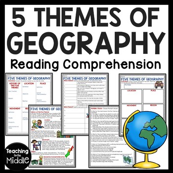
Five Themes of Geography Reading Comprehension Worksheet and Activities
Several Social Studies' Pacing Guides call for review or teaching of the Five Themes of Geography. I found that even though my students had seen this information in the past, they were still confused about some of the differences. This product gives students an informational passage (800-900 Lexile Level) on the history of the themes and a brief description of each. A graphic organizer is provided for students to complete while reading the passage. This can be done as whole group instruction,
Subjects:
Grades:
4th - 7th
Types:
Also included in: Social Studies MEGA Reading Comprehension Bundle For Buyer
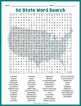
USA GEOGRAPHY Worksheet Activity - All 50 (Fifty) US States Word Search Puzzle
Review United States geography and have your students search for all 50 members of the Union with this challenging worksheet activity. Word search puzzles make great no prep activities for early finishers, bell ringers, morning work, handouts, homework, lesson plan supplements, sponge activities, introductions to new topics, and sub files.We consider this to be a challenging puzzle and it will require quite a bit of time to complete. Students will memorize the names of all fifty states withou
Subjects:
Grades:
4th - 7th
Types:
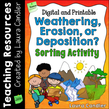
Weathering and Erosion Sorting Activity | Digital and Printable
Weathering, Erosion, and Deposition Sorting is a hands-on activity designed to help your students understand three important processes that change the earth’s surface over time. After a short introductory lesson, students will work with a partner or team to sort and classify examples of weathering, erosion, and deposition. This product includes a teacher’s guide with a step-by-step lesson plan, activity directions, illustrated sorting cards, and an answer key. Printable and Google Slides version
Subjects:
Grades:
4th - 6th
Types:
NGSS:
4-ESS2-1
Also included in: Weathering and Erosion Activity Bundle | Digital and Printable
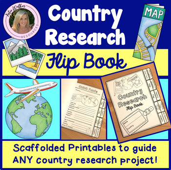
Country Research Project
Scaffolded printable flip book that can be used for ANY country research project!This resource is now available as a bundle with the matching Google Slides version! Click here to view and save $$$. Perfect for distance learning and hybrid teaching. This resource is also available in a bundle that includes 5 of my best-selling flip book resources! Click here to view and save $$$!Click here to view the digital Google Slides version. This ready-to-print flip book template can be used to scaffol
Grades:
3rd - 6th
Also included in: Country Research Project Bundle
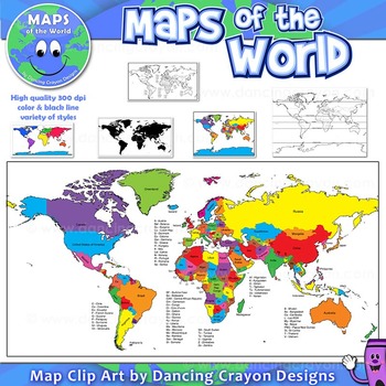
Maps of the World: Clip Art World Maps
Maps of the World: Clip Art World Maps
High quality color and black and white maps of the world.
This clipart map set contains the following commercial use graphics:
- Color maps of the world
- Black and white line art maps of the world
- Maps of the world with lines of latitude and without lines of latitude
- Maps of the world with larger countries labelled (color and black and white)
- Silhouette maps of the world
- A map of the world showing seven continents in color and black and white:
Grades:
3rd - 12th, Higher Education, Adult Education, Staff
Also included in: Maps of the World Clip Art - MEGA-BUNDLE
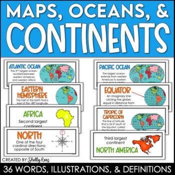
Continents and Oceans Maps and Posters | Geography and Maps Word Wall
Continents and Oceans and Map Skills can be fun to teach, especially when you have this great set of word wall cards. Each card includes the word, definition, and a clear, colorful illustration. Make a great bulletin board in just minutes!Click HERE to save 20% with the Continents, Oceans, and Map Skills BUNDLE!Please click on the PREVIEW above to get a clear picture of everything included.PERFECT for visually reinforcing landform vocabulary!This helpful continents, oceans, and maps word wall se
Grades:
2nd - 8th
Also included in: Maps, Continents and Oceans, Landforms, and Map Skills Bundle
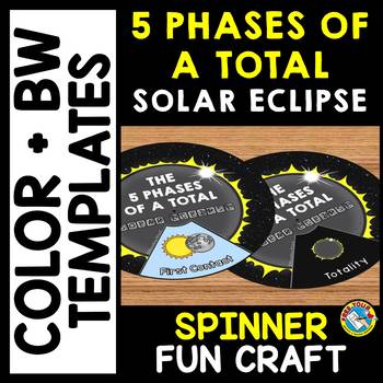
5 PHASES OF A TOTAL SOLAR ECLIPSE 2024 ACTIVITY CRAFT SPINNER SCIENCE PRINTABLE
TOTAL SOLAR ECLIPSE 2024 CRAFTS WHEEL PRINTABLE ACTIVITY (THE 5 PHASES OF A TOTAL SOLAR ECLIPSE SPINNER CRAFTIVITY)Are you looking for fun Total Eclipse activities? Kids will love making and spinning this eclipse crafts wheel/ spinner. This craft wheel is a fun way for kids to learn about the 5 phases of a total solar eclipse: First Contact, Second Contact, Totality, Third Contact and Fourth Contact. I have provided 2 versions of the wheel: color and black and white version. Each wheel con
Subjects:
Grades:
PreK - 6th
Types:
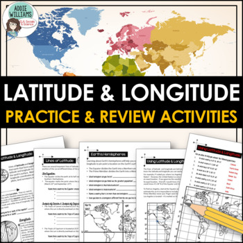
Latitude and Longitude Worksheet Activities for Practice and Review
Do your students struggle with latitude and longitude? Use this resource to help your students learn the fundamentals of latitude and longitude and apply their knowledge to simple maps.This resource includes reference/note sheets on latitude and longitude, the important lines of latitude (Equator, Tropics, Arctic / Antarctic Circle), and longitude (Prime Meridian, Date Line), and how to find a location on Earth using coordinates. This package also includes five worksheets for students to apply
Subjects:
Grades:
6th - 8th
Types:
Also included in: Latitude and Longitude Bundle - Activities, Task Cards, & Posters
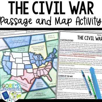
Civil War | Reading Passage and Map Coloring Activity for Social Studies
Looking for an engaging Social Studies activity that will also help your students practice finding text evidence? This passage and map resource is perfect to have on hand for your Social Studies classroom. Get this resource and more in my money-saving Social Studies Color by Number BundleWhat teachers are saying about this resource:❤️"I love how it reviewed the topics we had already been learning about in class. The kids loved working with a partner and the coloring. I want more of this!"❤️"My
Grades:
4th - 7th
Types:
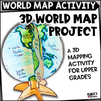
Mapping Activity World Map Project
Make Social Studies come alive with this fun 3D world map activity for world geography. This craftivity can be used to help students study and learn the continents and oceans of the world. There are two different views of the world map: the Western hemisphere and the Eastern hemisphere. This craftivity first has the students coloring the globe outline, then labeling the continents and oceans, equator, and tropic lines, then locating major cities, including the city in which students live
Subjects:
Grades:
4th - 6th
Types:
Getting to Know You for Middle & High - All About Me Back to School Activities
Use these getting to know you and "all about me" worksheets for middle and high school students for back to school, especially those first days back! They include several different inventories and worksheets that focus on their interests and learning styles. These can be a helpful way to integrate social emotional learning supports in the beginning of the year by building meaningful relationships from the start. Editable Version Included!All include an editable version for Powerpoint. Just open
Grades:
6th - 10th
Types:
STEM Activities - Student Passport around the World
Complete STEM activities based on a famous landmarks AROUND the WORLD! Students travel through Australia, France, Italy, Sweden, Russia, Egypt and America earning passport stamps as they complete their challenges. This is a fantastic resource for team building activities. Click HERE to SAVE over 20% with our Travel the World STEM Bundle.These task cards allow flexibility with the teacher to either grab and go or build further lessons around each challenge. They lend themselves to Geography, Sci
Subjects:
Grades:
2nd - 6th
Types:
NGSS:
3-5-ETS1-3
, 3-5-ETS1-1
, 3-5-ETS1-2
Also included in: WORLD CONTINENTS STEM Activities and Challenges Travel Passport
Showing 1-24 of 57,000+ results


