973 results
Geography worksheets for Microsoft PowerPoint under $5
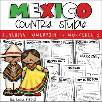
All About Mexico - Country Study
Your students will love learning all about Mexico with this fun country study! Included is a Powerpoint slideshow (.pptx) to teach your class all about Mexico, the capital city, flag, food, language, famous landmarks, the Day of the Dead and the Mayan Civilization! Student activity worksheets are also included based on the facts in the Powerpoint (all differentiated on two levels to support the different abilities in your class), plus a Mexico word search, postcard activity and favorite facts ac
Subjects:
Grades:
1st - 3rd
Also included in: Country Study Bundle
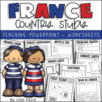
All About France - Country Study
Your students will love learning all about France with this fun country study! Included is an all about France Powerpoint presentation (.pptx) to teach your class all about France, the capital city, flag, food, language, famous landmarks, Bastille Day and the Tour de France! Student activity worksheets are also included based on the facts in the Powerpoint (all differentiated on two levels to support the different abilities in your class), plus a France word search, postcard activity and favorit
Subjects:
Grades:
1st - 3rd
Also included in: Country Study Bundle
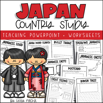
All About Japan - Country Study
Your students will love learning all about Japan with this fun country study! Included is an all about Japan Powerpoint presentation (.pptx) to teach your class all about Japan, the capital city, flag, food, language, famous landmarks, bullet trains and bonsai trees! Student activity worksheets are also included based on the facts in the Powerpoint (all differentiated on two levels to support the different abilities in your class), plus a Japan word search, postcard activity and favorite facts a
Subjects:
Grades:
1st - 3rd
Also included in: Country Study Bundle
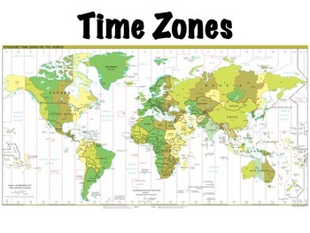
Time Zones
Time zones presentation: this is a lesson on time zones that I use with my students. Includes a simple 10 question worksheet on time zones in the United States and an optional, somewhat more challenging worksheet on world time zones, where students have to determine what time it is at locations around the world given the current time. Included in the presentation are:Definitions of time zones, the prime meridian, the international date line, and daylight savings timeThe history of time zonesHow
Subjects:
Grades:
4th - 7th
Also included in: Geography Introduction Bundle
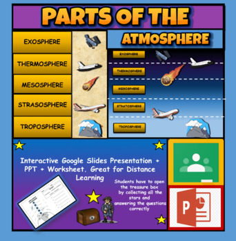
Layers Of The Atmosphere: Interactive Google Slides + PPT Version + Worksheet
Layers Of The Atmosphere: Interactive Google Slides + PPT + Worksheet (Distance Learning)Interactive presentation & quiz on Layers of the atmosphere. Please view the powerpoint previewINTERACTIVE GOOGLE SLIDES/POWER POINT PRESENTATION on layers of the atmosphere. It can be used for distance learning and google classroom or within the classroom.Once downloaded: Please view the GOOGLE SLIDES/POWERPOINT IN 'PRESENT ▶️' modeWorksheet also included in ZIP file 'Parts of the atmosphere' .These are
Subjects:
Grades:
3rd - 8th
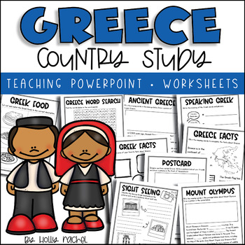
All About Greece - Country Study
Your students will love learning all about Greece with this fun country study! Included is an all about Greece Powerpoint presentation (.pptx) to teach your class all about Greece, the capital city, flag, food, language, famous landmarks, Ancient Greece and Mount Olympus! Student activity worksheets are also included based on the facts in the Powerpoint (all differentiated on two levels to support the different abilities in your class), plus a Greece word search, postcard activity and favorite f
Grades:
1st - 3rd
Also included in: Country Study Bundle
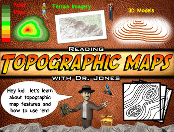
Topographic Maps PowerPoint & Worksheet: FULLY LOADED!
This Topographic Map slide show brings the adventure to your students! Have fun while learning about how to read topographic maps, contour lines, and relief maps. Unlike any animated presentation you have seen before, this visually appealing display will make topographic maps much easier for students of a variety of ages to understand. It emphasizes how to read these types of maps whenever students encounter them in the future. This is also a perfect instructional tool for "distance learning."In
Subjects:
Grades:
4th - 8th
Also included in: Science PowerPoint Bundle: FULLY LOADED
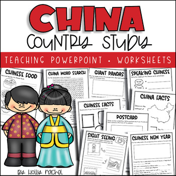
China Country Study
Your students will love learning all about China with this fun country study! Included is an all about China Powerpoint presentation (.pptx) to teach your class all about China, the capital city, flag, food, language, famous landmarks, Chinese New Year and giant pandas! Student activity worksheets are also included based on the facts in the Powerpoint (all differentiated on two levels to support the different abilities in your class), plus a China word search, postcard activity and favorite fact
Subjects:
Grades:
1st - 3rd
Also included in: Country Study Bundle
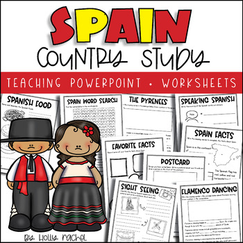
All About Spain - Country Study
Your students will love learning all about Spain with this fun country study! Included is an all about Spain Powerpoint presentation (.pptx) to teach your class all about Spain, the capital city, flag, food, language, famous landmarks, the Pyrenees and flamenco dancing! Student activity worksheets are also included based on the facts in the Powerpoint (all differentiated on two levels to support the different abilities in your class), plus a Spain word search, postcard activity and favorite fact
Subjects:
Grades:
1st - 3rd
Also included in: Country Study Bundle
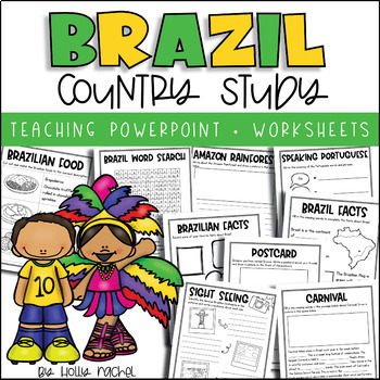
All About Brazil - Country Study
Your students will love learning all about Brazil with this fun country study! Included is an all about Brazil Powerpoint presentation (.pptx) to teach your class all about Brazil, the capital city, flag, food, language, famous landmarks, the Amazon Rainforest and Carnival! Student activity worksheets are also included based on the facts in the Powerpoint (all differentiated on two levels to support the different abilities in your class), plus a Brazil word search, postcard activity and favorite
Grades:
1st - 3rd
Also included in: Country Study Bundle
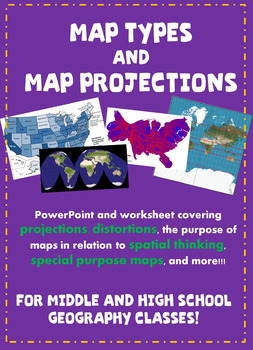
Types of Maps and Map Projections PowerPoint and Worksheet!
Use this lesson to teach geography classes about types of maps and map projections with great examples and an easy-to-follow companion worksheet!The following concepts are addressed in the PowerPoint:-Spatial thinking-Why we use maps in geography-Map projection-Distortions in map projections-Goode's map projection (interrupted or global gores)-Mercator projection-Robinson projection-Equal area projection-Types of maps/purposes of different types-Political map-Physical map-Special purpose map-Cho
Subjects:
Grades:
8th - 11th
Also included in: Types of Maps and Map Projections Lesson + Quizzes Bundle!
How to Read a Map
How to Read a Map The main goal of this lesson is for students to understand the different parts of a map and how they can be usedYou get a 12 Slide PowerPoint with:Do NowClass Notes2 Video Links2 Assessment QuestionsActivity InstructionsConclusion QuestionActivity Part 1: Reading & WorksheetReading – The Different parts of a Map - 434 wordsOn the worksheet, students answer various comprehension questions on a maps compass, legend, and scaleActivity Part 2: Map & Multiple-Choice Question
Grades:
5th - 9th
Also included in: Geography Unit Bundle
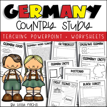
All About Germany - Country Study
Your students will love learning all about Germany with this fun country study! Included is an all about Germany Powerpoint presentation (.pptx) to teach your class all about Germany, the capital city, flag, food, language, famous landmarks, Oktoberfest and the Black Forest! Student activity worksheets are also included based on the facts in the Powerpoint (all differentiated on two levels to support the different abilities in your class), plus a Germany word search, postcard activity and favori
Subjects:
Grades:
1st - 3rd
Also included in: Country Study Bundle
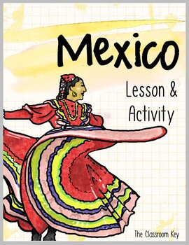
Mexico Lesson and Activity
Engage students with a colorful 17-slide Powerpoint presentation along with a tab book for them to label and color.Topics:*geographic location*the flag*landmarks*religion*language*popular sports*currency*more! What others are saying:"The power point is very colorful and well thought out. My students have loved putting the booklets together and being creative with them. This is a great resource for a quick overview of a country."-Angela H."I absolutely loved doing this project with my students.
Subjects:
Grades:
1st - 3rd
Also included in: Countries Unit Bundle, Cultures Around the World
![Preview of Population Density and Distribution [Geography| Social Studies| Print| Digi]](https://ecdn.teacherspayteachers.com/thumbitem/Population-Density-and-Distribution-5391490-1617652695/original-5391490-1.jpg)
Population Density and Distribution [Geography| Social Studies| Print| Digi]
Content:- An introduction to the concepts of population density, distribution, sparsely populated regions and densely populated regions.- The factors that affect population density.- Global distribution of population and the factors that influence this.- A detailed case study of population distribution in Australia.Resources are:- FACE TO FACE READY- Word Document/PDF/PowerPoint- printable resources for delivery in the classroom.- REMOTE READY- Suitable for online digital learning with links to
Subjects:
Grades:
9th - 12th
Also included in: Population BUNDLE [Geography| Social Studies| Printable and Digital]
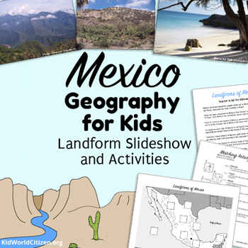
Mexico Geography for Kids ~ Landform Slideshow and Activities in English
This is the Mexico Geography packet your kids will love! Learn about Mexico geography with gorgeous photographs in a power point activity, plus an interactive mapping activity, and an introductory activity about landforms. This product is in English.First, students learn or refresh their memory about eight different landform definitions with a fun matching activity. Teachers can also utilize our FREE Landform Posters to help students familiarize themselves with different geographic landforms.Stu
Subjects:
Grades:
2nd - 5th
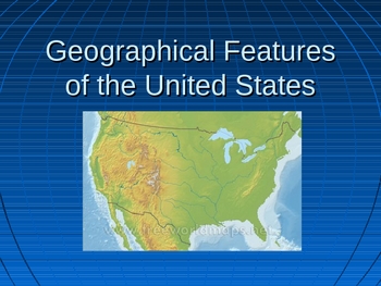
Geographical Features of the United States PP (Ga. 4th Grade Standard)
This Power Point goes with the Georgia social studies standards: SS4G1 The student will be able to locate important physical and man-made features in the United States.a. Locate major physical features of the United States; include the Atlantic Coastal Plain, the Great Plains, the Continental Divide, the Great Basin, Death Valley, the Gulf of Mexico, the St. Lawrence River, and the Great Lakes.b. Locate major man-made features; include New York City, NY; Boston, MA; Philadelphia, PA; and the Er
Subjects:
Grades:
4th

Five Themes of Geography COMPLETE LESSON for Middle School
This complete lesson on the Five Themes of Geography has everything you need to teach and review the Five Themes of Geography. You'll get:
PowerPoint presentation
3 versions of guided notes that align with the presentation
3 pages of individual practice with answer key
Printable cut-and-paste flashcards for key terms
Subjects:
Grades:
5th - 9th
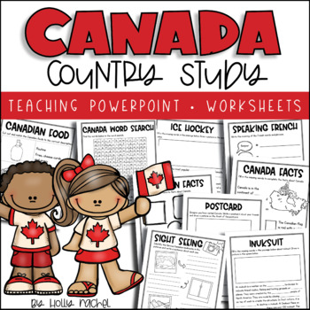
All About Canada - Country Study
Your students will love learning all about Canada with this fun country study! Included is an all about Canada Powerpoint presentation (.pptx) to teach your class all about Canada, the capital city, flag, food, language, famous landmarks, ice hockey and inuksuit! Student activity worksheets are also included based on the facts in the Powerpoint (all differentiated on two levels to support the different abilities in your class), plus a Canada word search, postcard activity and favorite facts acti
Grades:
1st - 3rd
Also included in: Country Study Bundle
Australia Lesson and Activity
Engage students with a colorful PowerPoint and shutter book to learn about Australia.Topics Covered:*geographic location*the flag*language*religion*landmarks*capital cityWhat others are saying:"This was perfect when we did rotations of different countries!"-Dali G."This is a super cute introduction into Australian culture that you could really incorporate into most grade levels. I did this with my Access kids where we were learning about each continent."-Jordan W.Topics:*geographic location*the
Subjects:
Grades:
1st - 3rd
Also included in: Countries Unit Bundle, Cultures Around the World
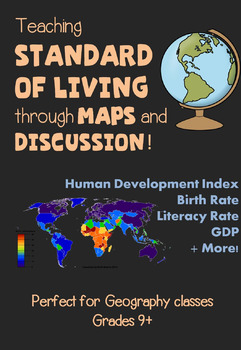
Standard of Living and Human Development Index Geography Lesson
Teaching standard of living using maps and class discussion has never been so easy! This PowerPoint will lead you through teaching about the human development index and indicators of standard of living for countries throughout the world. The following ideas are discussed (in regards to standard of living):Human development indexMore developed v. less developed countriesBirth rateGrowth RateLiteracy RateInfant Mortality RateNet MigrationLife expectancy at birthGDPUrban populationIncluded in the P
Subjects:
Grades:
9th - 12th
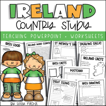
All About Ireland - Country Study
Your students will love learning all about Ireland with this fun country study! Included is an all about Ireland Powerpoint presentation (.pptx) to teach your class all about Ireland, the capital city, flag, food, language, famous landmarks, St Patrick's Day and Irish dancing! Student activity worksheets are also included based on the facts in the Powerpoint (all differentiated on two levels to support the different abilities in your class), plus an Ireland word search, postcard activity and fav
Grades:
1st - 3rd
Also included in: Country Study Bundle
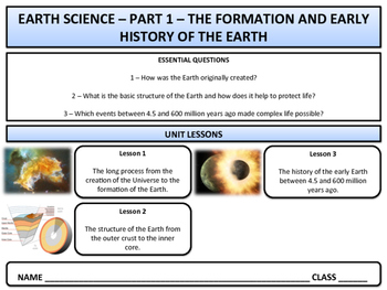
Early History of the Earth - Earth Science & Geography - Unit 1
This series is designed to provide students with a good overall understanding of the various geological and atmospheric processes that have shaped our planet from its formation to the present day. I have used these materials as an elective class for the past few years but they have also been used by several science teachers as a basic introduction to Earth science.Unit 1 covers the following areas:1 - The Big Bang and creation of the first stars.2 - The formation of nebulae and the solar system
Subjects:
Grades:
6th - 12th
Also included in: Earth Science - Complete Curriculum Bundle
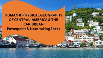
Central America & the Caribbean Human & Physical Geography Powerpoint & Notes
This Central American and the Caribbean powerpoint covers the physical geography, climates, people, cultures, economies, and environmental and political problems of Central America and the Caribbean. A guided notes sheet and answer key are also included.
Subjects:
Grades:
5th - 12th
Showing 1-24 of 973 results


