1,413 results
High school geography worksheets for Google Apps
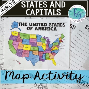
50 States and Capitals Map Activity with printable worksheets & digital map game
Do your students need to know the state capitals and the location of each state on a map? This engaging map set for the 50 states and their capitals will guide your students through labeling a blank map and learning the capitals. Print and digital options plus access to online self-checking map and flashcards let you easily customize the lesson to best fit the needs of your students. Students will label a blank map of the United States with the names of the 50 states and then record the capital
Subjects:
Grades:
4th - 10th
Types:
Also included in: American History Map Activities Bundle for U.S. History Units & Lessons
Geography of Africa Map Practice Activities | Print and Digital | Google
End the cycle of bored students copying from books to label maps! Your classes think critically with these digital, interactive, geography activities. First, students answer questions about Africa by analyzing various physical & political maps of the region. Then, a drag & drop challenge assesses their learning of the locations. This resource also includes a printable worksheet that takes labeling maps to the next level! They create a map using only absolute & relative location clues
Subjects:
Grades:
5th - 12th
CCSS:
Geography of Europe Map Practice Activities | Print and Digital | Google
End the cycle of bored students copying from books to label maps! Your classes think critically with these digital, interactive, geography activities. First, students answer questions about Europe by analyzing various physical & political maps of the region. Then, a drag & drop challenge assesses their learning of the locations. This resource also includes a printable worksheet that takes labeling maps to the next level! They create a map using only absolute & relative location clues
Subjects:
Grades:
5th - 12th
CCSS:
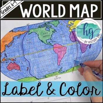
World Map Activity (Print and Digital)
Students will label 17 items on the world map including the continents, oceans, equator, prime meridian, international date line, North Pole and South Pole. Alternatively, students can just color on the coloring page version. What's included with the Printed Versions:*Blank World Map for students to label and color (1 page, uneditable pdf)*World Map Coloring Page (1 page, uneditable pdf)*Map Key (1 page, uneditable pdf)*Animated PowerPoint and Google Slides shows each location and is perfect fo
Subjects:
Grades:
6th - 10th
Types:
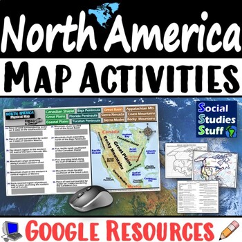
Geography of North America Map Practice Activities | USA Canada Mexico | Google
End the cycle of bored students copying from books to label maps! Your classes think critically with these digital, interactive, geography activities. First, students answer questions about North America by analyzing various physical & political maps of the region. Then, a drag & drop challenge assesses their learning of the locations. This resource also includes a printable worksheet that takes labeling maps to the next level! They create a map of the United States, Canada, and Mexico u
Subjects:
Grades:
5th - 12th
CCSS:
Cultural Diffusion and Globalization 5-E Lesson | McDonalds in India | Google
This student-favorite lesson explores cultural diffusion and its effects on our world. The activities are engaging for students & the guided, 5-E format is easy for you to use! Begin with a fun “Name It” warm-up activity. Explore how culture is shared and adapted globally, then introduce key vocabulary. Fill-in notes accompany the lesson. A photo analysis activity challenges your class to compare McDonalds in India to the United States. Finally, a reading comprehension activity investigates
Grades:
6th - 12th
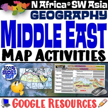
Middle East Map Practice Activities | SW Asia & North Africa Geography | Google
End the cycle of bored students copying from books to label maps! Your classes think critically with these digital, interactive, geography activities. First, students answer questions about the Middle East by analyzing various physical & political maps of the region. Then, a drag & drop challenge assesses their learning of the locations. This resource also includes a printable worksheet that takes labeling maps to the next level! They create a map of Southwest Asia & North Africa usi
Subjects:
Grades:
5th - 12th
CCSS:
Spanish Speaking Countries Practice Activities Puzzles pdf and digital Worksheet
Help your Spanish students review the Spanish Speaking Countries and Capitals with 11 pdf practice activities, 11 digital practice activities, PLUS 13 quizzes / assessments / activities to choose from (including Google Forms™ quizzes!)No Prep! ⭐️ 1:1 classroom friendly, digital learning friendly. Google Forms™ self grading assessments included.OR⭐️Just print and go!Perfect for Spanish back to school, and to help your Spanish students practice the Spanish-speaking countries all year!✅ What's inc
Subjects:
Grades:
4th - 12th
Types:
Also included in: Build Your Own Bundle of Spanish Resources | Special order for Sydney
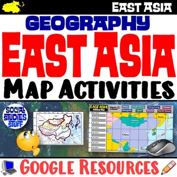
Geography of East Asia Map Practice Activities | Print and Digital | Google
End the cycle of bored students copying from books to label maps! Your classes think critically with these digital, interactive, geography activities. First, students answer questions about East Asia by analyzing various physical & political maps of the region. Then, a drag & drop challenge assesses their learning of the locations. This resource also includes a printable worksheet that takes labeling maps to the next level! They create a map using only absolute & relative location cl
Subjects:
Grades:
5th - 12th
CCSS:
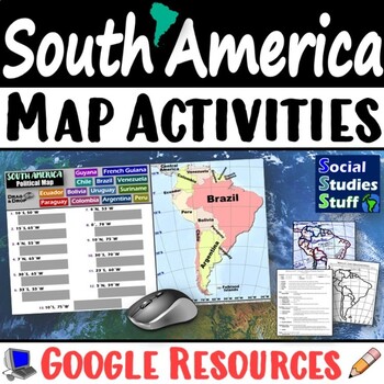
Geography of South America Map Practice Activities | Print and Digital | Google
End the cycle of bored students copying from books to label maps! Your classes think critically with these digital, interactive, geography activities. First, students answer questions about South America by analyzing various physical & political maps of the region. Then, a drag & drop challenge assesses their learning of the locations. This resource also includes a printable worksheet that takes labeling maps to the next level! They create a map using only absolute & relative locatio
Subjects:
Grades:
5th - 12th
CCSS:
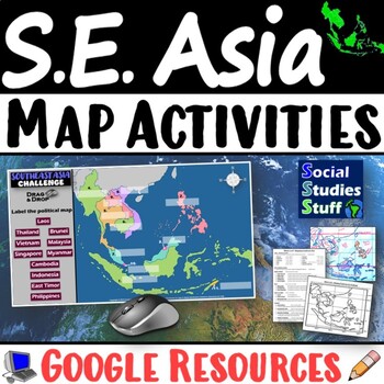
Geography of Southeast Asia Map Practice Activities | SE Asia Region | Google
End the cycle of bored students copying from books to label maps! Your classes think critically with these digital, interactive, geography activities. First, students answer questions about Southeast Asia by analyzing various physical & political maps of the region. Then, a drag & drop challenge assesses their learning of the locations. This resource also includes a printable worksheet that takes labeling maps to the next level! They create a map using only absolute & relative locati
Subjects:
Grades:
5th - 12th
CCSS:
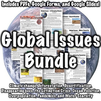
Global Issues Bundle
This bundle includes nine worksheets on global issues- issues that potentially impact the entire planet. PDF worksheets, optional ten-question worksheets, answer keys, links to download the worksheets in Google Slides, and links to download Google Forms are all included.Included are: Climate ChangeDeforestationDesertification Disappearing BeesThe Extinction CrisisThe Great Pacific Garbage Patch/Ocean PollutionOverpopulationPandemicsWater ScarcityThe Great Pacific Garbage Patch worksheet and the
Grades:
6th - 9th
Types:
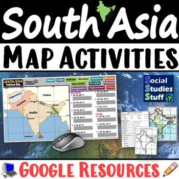
South Asia Map Practice Activities | India Geography | Print & Digital | Google
End the cycle of bored students copying from books to label maps! Your classes think critically with these digital, interactive, geography activities. First, students answer questions about South Asia by analyzing various physical & political maps of the region. Then, a drag & drop challenge assesses their learning of the locations. This resource also includes a printable worksheet that takes labeling maps to the next level! They create a map of India using only absolute & relative l
Subjects:
Grades:
5th - 12th
CCSS:
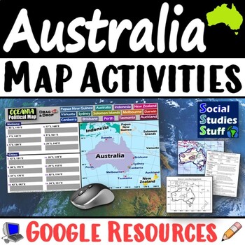
Geography of Oceania Map Practice Activities | Australia Region | Google
End the cycle of bored students copying from books to label maps! Your classes think critically with these digital, interactive, geography activities. First, students answer questions about Australia & Oceania by analyzing various physical & political maps of the region. Then, a drag & drop challenge assesses their learning of the locations. This resource also includes a printable worksheet that takes labeling maps to the next level! They create a map using only absolute & relati
Subjects:
Grades:
5th - 12th
CCSS:
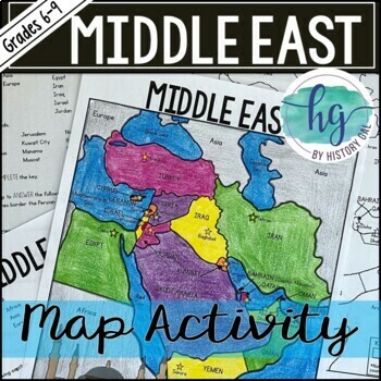
Middle East Map Activity (Print and Digital)
Students will label a map of the Middle East which includes the Middle Eastern countries of Bahrain, Cyprus, Egypt, Iran, Iraq, Israel, Jordan, Kuwait, Lebanon, Oman, Palestine, Qatar, Saudi Arabia, Syria, Turkey and their capitals. They will also label the Arabian Sea, Black Sea, Caspian Sea, Mediterranean Sea, Persian Gulf, and Red Sea. Students will, then, use their completed map to answer 7 questions. Lastly, to further help students remember the capitals of the countries located in the Midd
Subjects:
Grades:
6th - 9th
Types:
CCSS:
Current Events Activity and Worksheet | PEGS Factors in the News | Google
Challenge students to follow current events and discover PEGS (Political, Economic, Geographic, Social) factors in the news. They watch or read the news, identify examples of stories that represent each PEGS factor, summarize the main ideas, then justify their decisions. Includes links to websites and a PEGS reference chart for interactive notebooks. This activity can be assigned regularly throughout the year, so students stay informed & connect the real world to your classroom. Social Studi
Grades:
5th - 12th
CCSS:
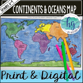
Continents and Oceans Map Activity (Print and Digital)
Students will label and the 7 continents (Africa, Antarctica, Asia, Australia (Oceania), Europe, North America, South America) and 5 oceans (Arctic Ocean, Atlantic Ocean, Indian Ocean, Pacific Ocean, Southern Ocean). Alternatively, students can just color on the coloring page version. Both print and digital versions are included.What's included with the Printed Versions:*Blank World Map for students to label and color (1 page, uneditable pdf)*World Map Coloring Page (1 page, uneditable pdf)*Map
Subjects:
Grades:
6th - 10th
Types:
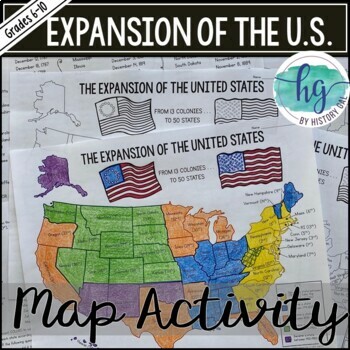
Expansion of the United States Map Activity (Print and Digital)
This map activity shows how the Unites States grew from 13 colonies to 50 states. Students will label the 50 states in the order that they joined the United States. Students will then color the map based on the time period that each state joined for a visual representation of the nation's growth. The included PowerPoint presentation shows students the location of each state to help them complete and color their map. Students can also complete the activity on their own without the PowerPoint.What
Subjects:
Grades:
6th - 10th
Types:
Also included in: American History Map Activities Bundle for U.S. History Units & Lessons
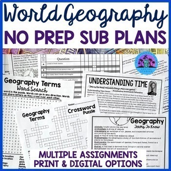
No Prep Sub Plans For Any Geography Class
These No Prep Emergency Sub Plans will work at any time during the year for any middle school or high school Geography class. You may keep a copy of the activities in your sub folder or store them on your Google Drive so you will not have to worry about sub plans when the day suddenly rolls around. This resource includes multiple assignments that are easy to implement, self-explanatory, and perfect for students to work on independently or with a partner when you are gone. Answer keys are include
Subjects:
Grades:
7th - 10th
Types:
Also included in: World Geography Worksheets Activities Bundle
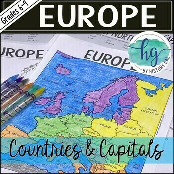
Countries and Capitals of Europe Map Activity
Do your students need to know the location of countries in Europe and their capitals? This engaging map activity will help!This no-prep print and digital map has students label all of the countries of Europe on one map along with major bodies of water. Lastly, to further help students remember the capitals of the countries located in Europe, students will write the capitals down on a handout. This handout can be used again as a quiz. This download also includes digital versions so it is ea
Subjects:
Grades:
6th - 9th
Types:
CCSS:
Also included in: Europe Countries and Capitals Map Activity Bundle (Print and Digital)
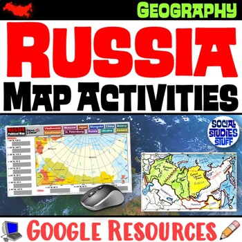
Geography of Russia Map Practice Activities | Print and Digital | Google
End the cycle of bored students copying from books to label maps! Your classes think critically with these digital, interactive, geography activities. First, students answer questions about Russia by analyzing various physical & political maps of the region. Then, a drag & drop challenge assesses their learning of the locations. This resource also includes a printable worksheet that takes labeling maps to the next level! They create a map using only absolute & relative location clues
Subjects:
Grades:
5th - 12th
CCSS:
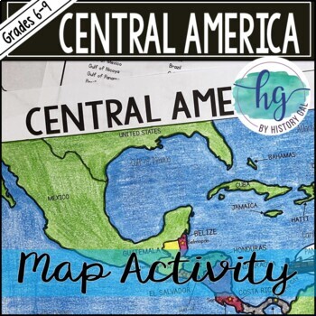
Central America Map Activity (Print and Digital)
Students will label a map of Central America that includes the Central American countries and their capitals, major bodies of water, and the countries that surround Central America. See the preview to see everything students will label. Students will, then, use their completed map to answer 10 questions. This download also includes digital versions so it is easy to use with hybrid classes and remote students.What's Included with the Print Versions:*Blank map for students to label with 10 questio
Subjects:
Grades:
6th - 9th
Types:
CCSS:
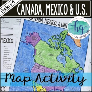
Canada, Mexico and the United States Map Activity (Print and Digital)
Students will label a map of Canada, Mexico and the United States that includes their capitals, major bodies of water, important mountain ranges and more. See the preview to see everything students will label. Students will, then, use their completed map to answer 9 questions. This download also includes digital versions so it is easy to use with hybrid classes and remote students.What's Included with the Print Versions:*Blank map for students to label with 9 questions (1 page, uneditable PDF)*B
Subjects:
Grades:
6th - 9th
Types:
CCSS:
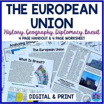
The European Union Handout & Worksheet
This activity will help your students understand what the European Union is, the foundations upon which the organization was founded, Brexit, and the modern-day challenges and accomplishments associated with the international organization.The resource includes a four-page informational text handout and a four-page worksheet over the material covered. The first two pages of the worksheet may be completed on paper or digitally and require students to review the informational text and analyze a num
Subjects:
Grades:
8th - 10th
Types:
Also included in: The Geography of Europe ❘ Europe Geography Worksheet Bundle
Showing 1-24 of 1,413 results


